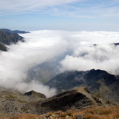
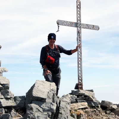
Monte Marzo, from Outrelève
Access
At the motorway exit at Pont-Saint-Martin, turn left and take the state road as far as Bard; shortly afterwards turn left onto the regional road to Champorcher. Go up the entire Champorcher valley, and just before the main town, at a hairpin bend, turn left in the direction of Outrelève. From here the road descends until it crosses the Ayasse stream and then climbs up again to the characteristic village of Outrelève, where it is possible to park your car in a large car park (13.5 km from the start of the regional road ).
For those coming from the upper valley, we recommend exiting the motorway at Verrès, then turning right and taking the main road 26 until the junction for Champorcher (8 km).
.Introduction
The route as a whole is very varied and pleasant: from the obvious paths steeped in rural history in the 'anthropised' part of the Valle della Legna to the solitary environments along the border ridges between Valle d'Aosta and Piedmont.
Description
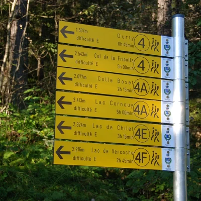
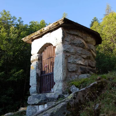
Leaving the car behind, you will come across a few panels with maps of the area and signposts near the trailhead. Start walking along the mule track that leads to the Valle della Legna, signpost . The first part of the trail goes through a short pasture above the village of Outre l'Eve, with some ups and downs. You enter the forest and begin to climb gently on the beautiful paved mule track accompanied by a few votive shrines and, a little further on, you reach the abandoned village of Porte (1,343m, 0h20').
Continuing on, you will soon come to the junction of Alta Via 2 on the right and, a little further on, vestiges of ancient irrigation systems. We leave the forest and reach a second fork: we continue to the right, ignoring the path
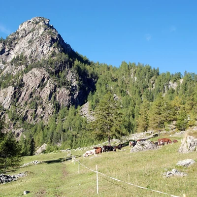
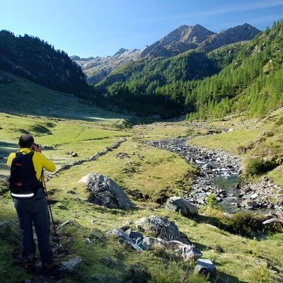
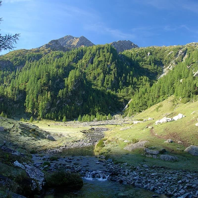
for Troume, which descends to the left. After a few metres of ascent, you come to the cottages of Pian Bouc (1,363m, 0h25'); now continue slightly uphill among the larch trees along the gorges of the Torrent du Bois; as you leave the forest, you come to the Ourty pastures and the fork (1,485m, 0h45') for Lake Vercoche, marker (4F): continue left among the pastures until you reach a wooden bridge that takes you to the orographic right of the valley. Cross the recently renovated two-span bridge and ascend a lovely pastureland on a faint track that gradually becomes more evident as it climbs up towards the wood. Once in the forest, cross a tributary and continue up the valley, taking a few twists and turns until approaching the stream near a peculiar clearing in the presence of huge rocks. We resume climbing on the beautiful paved mule track that, with a couple of turns, takes us back up to altitude, reaching a short stretch of path bordered by a railing; another uphill stretch and we reach the junction between the path  and the trail (4E) just below Maisons Vieilles (1825m, 1h30').
Having passed the junction for trail
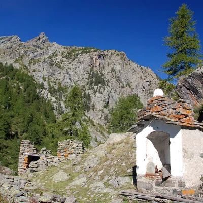
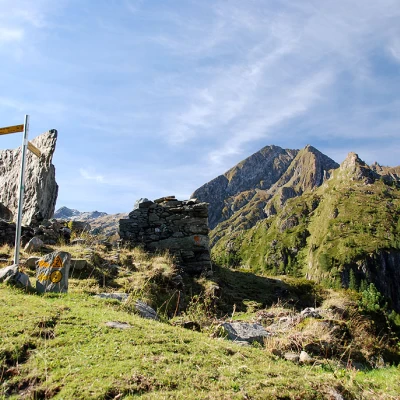
, we cross the small village of Maison Vieilles (1827m) with its little chapel dedicated to Saint-Antoine and enter the beautiful pastureland that seals the beautiful landscape of the Vallone della Legna. For a good part of the walk, one proceeds practically level and then begins the ascent near the ruins of Créton du Tor. After crossing a short strip of larch trees, the path approaches a small bend in the stream where a small bridge leads to the opposite orographic slope. Disregard the diversions and continue straight on, crossing a second meadowy hollow furrowed by the placid stream. At the end of the basin, we begin to climb, with a few bends, a rocky prominence until we reach a small terrace where we meet a marker post and a ruin (2025m, 2h15').
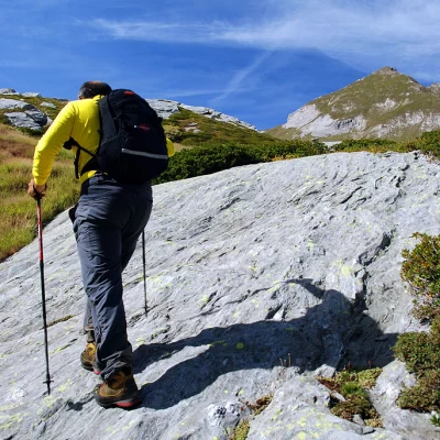
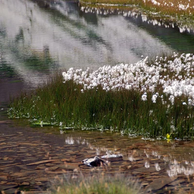
Continue to the right, leaving Alta Via 1 to the left, which leads to Col Fricolla; proceed almost flat for a stretch and then descend into a new grassy basin: when you reach the plateau, cross the stream (there is no real ford) and proceed straight on to the end of the stream, where you cross it again to the left (now much more easily). Continue up the rocky step; the path remains fairly evident thanks to cairns that help with orientation among the low vegetation. You quickly gain height until you reach an impluvium, which you then abandon by turning right; the ascent now proceeds on splendid sloping slabs alternating with traces of the path until you reach a huge cairn. The slope now moderates slightly, keeping to the route by following the stone cairns that lead slightly to the right in the direction of the impluvium of a torrent until reaching the first of the Laghi Gelati (2430m, 3H45').
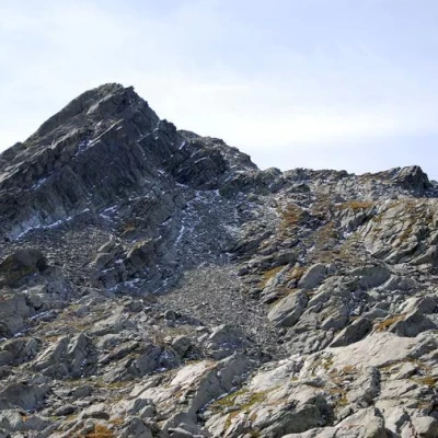
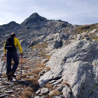
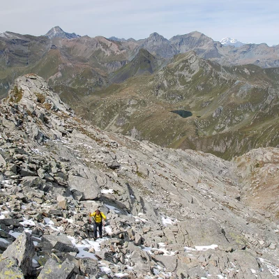
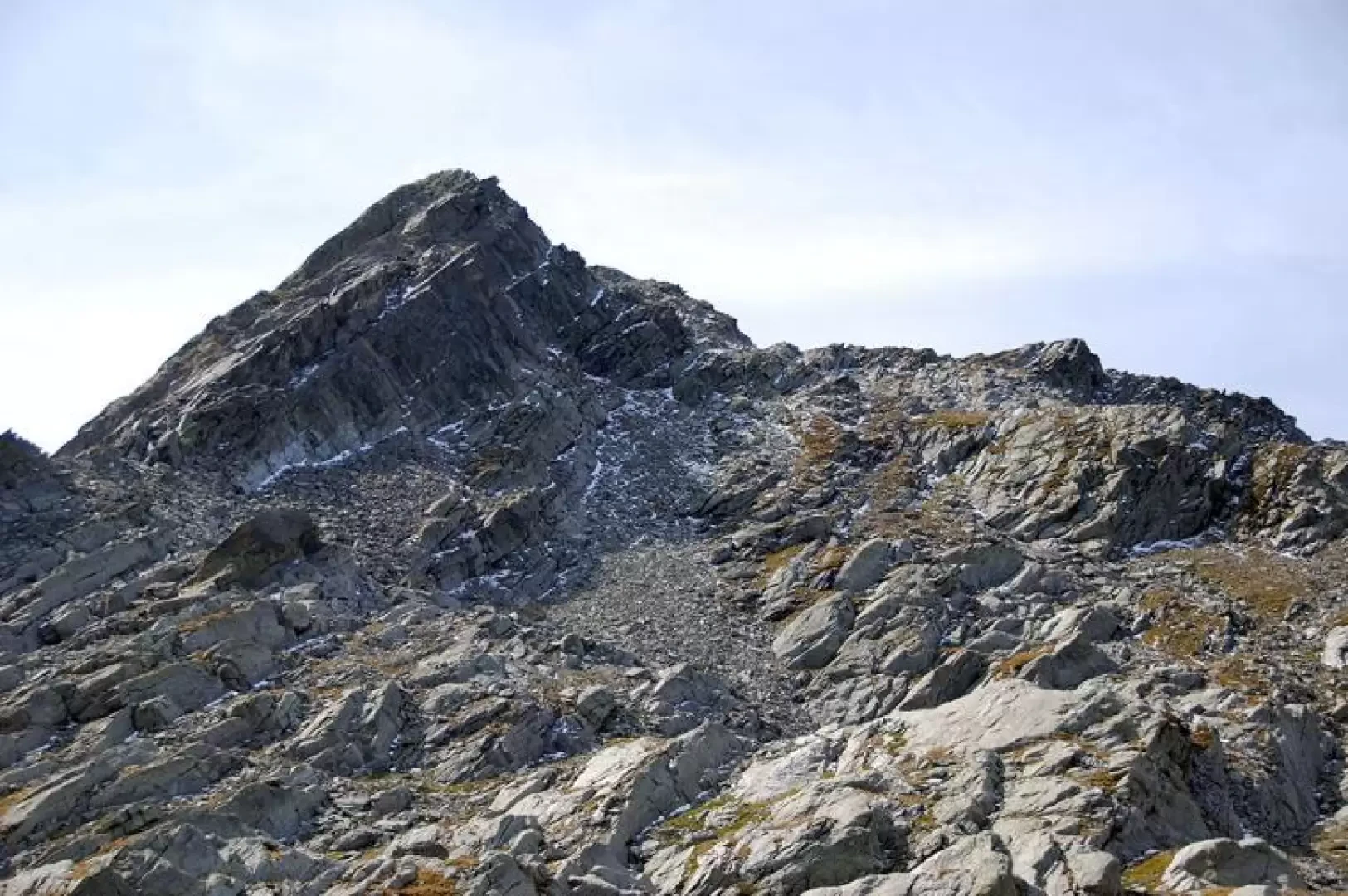
We cross the torrent at the edge of the lake and head decisively towards the summit of Monte Marzo, now finally clearly visible; after an initial stretch that is not excessively demanding, the traces of the path are lost in places, the vegetation thins out and the climb begins to become more demanding. After an initial climb, you reach a short plateau, after which you proceed to the right of a large sloping slab, climbing up a slight depression until you are now in sight of the border ridge with Piedmont; proceed diagonally to the right until you reach the watershed at an altitude of about 2650m. Turn sharply to the left and head towards the summit; you enter a sort of rocky valley, at the exit of which you can now ascertain that your goal is near! Go up the path, which is now more evident thanks to the red and white marks; the turns become more frequent and lead the walk towards the final ridge. Shortly before joining the final part, a rocky notch with an awkward passage must be overcome: once this obstacle has been overcome, the summit of Monte Marzo (2755m, 4h30') is soon reached.
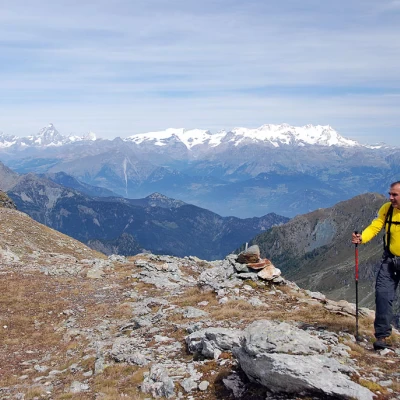
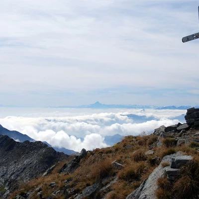
From the summit, on a clear day, you can appreciate a magnificent view of the main Valle d'Aosta peaks, from Monte Rosa to the distant offshoots of Mont Blanc and, above all, enjoy an exclusive view of the peaks and the territories of Valchiusella and Val Soana.
The descent follows the same route as the ascent (3h00').
Galleria fotografica
We have been there
Monte Marzo
Report della gita
Bella escursione in compagnia di Luca. Il percorso nel complesso è molto vario e piacevole: dai sentieri evidenti ed intrisi di storia rurale della parte "antropizzata" della Valle della Legna ai solitari ambienti lungo le creste di confine tra Valle d'Aosta e Piemonte. Una menzione va anche ai Laghetti Gelati, splendidi!
Informazioni generali
Condizioni via o sentiero:
Pericolo Oggettivo:
Tratti esposti:
Rischio valanghe:
Affollamento:
Condizioni meteo
Cielo:
Temperatura:
Condizioni neve:
Condizioni ghiacciaio:
Avvistamenti
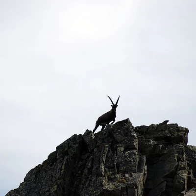
Fauna: Capra ibex
Flora:
