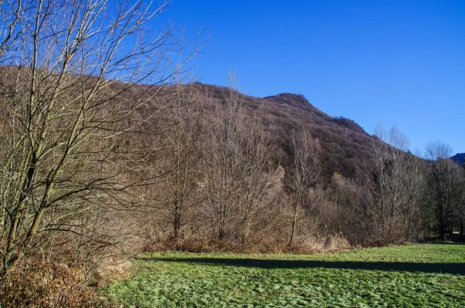
Monte Martica, from Brinzio

Edited by:
Marco Bonati
Updated at: 03/12/2025
Access
From Varese, drive up the Valle Olona provincial road to Brinzio. Large car park at the cemetery, at the entrance to the village.
Introduction
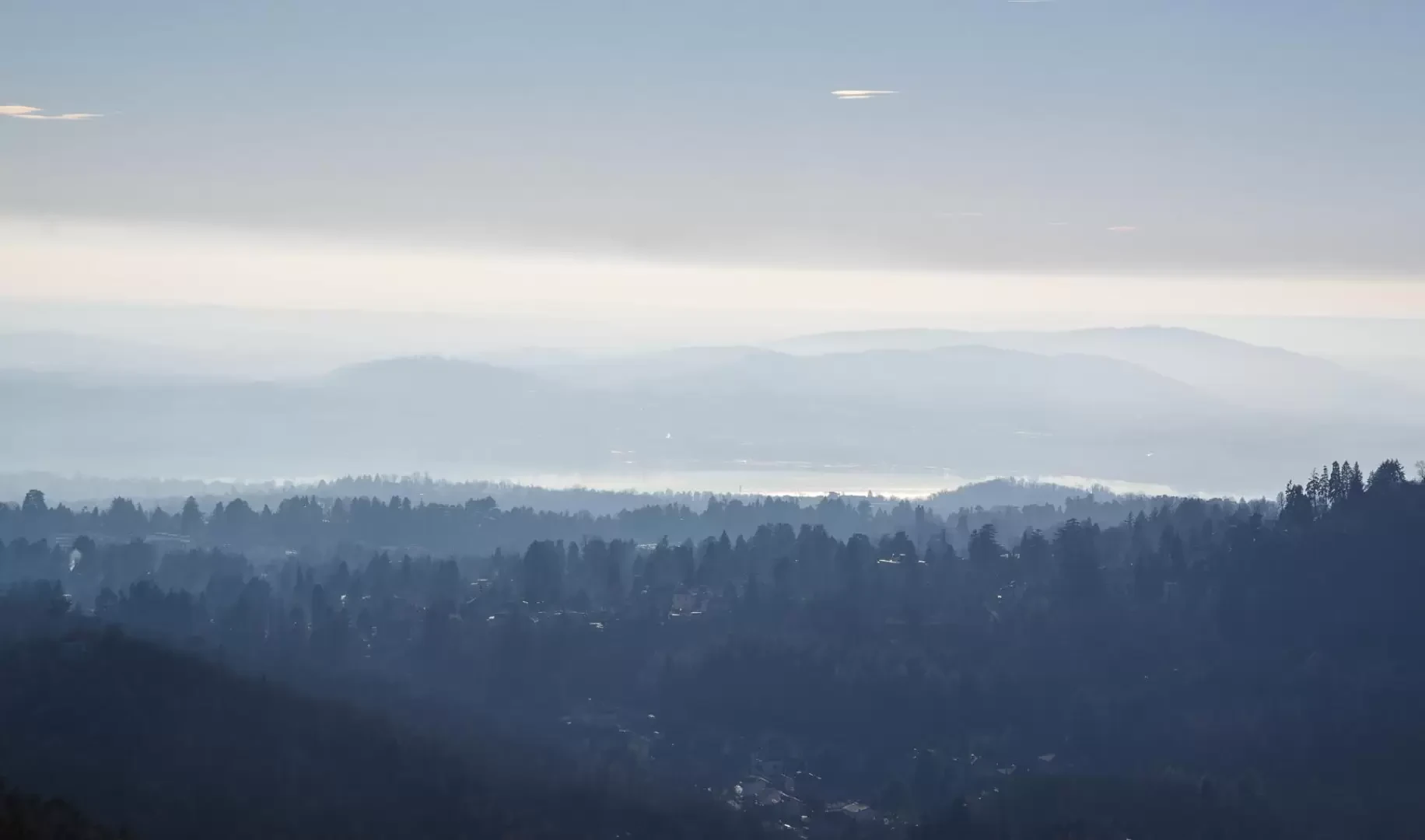
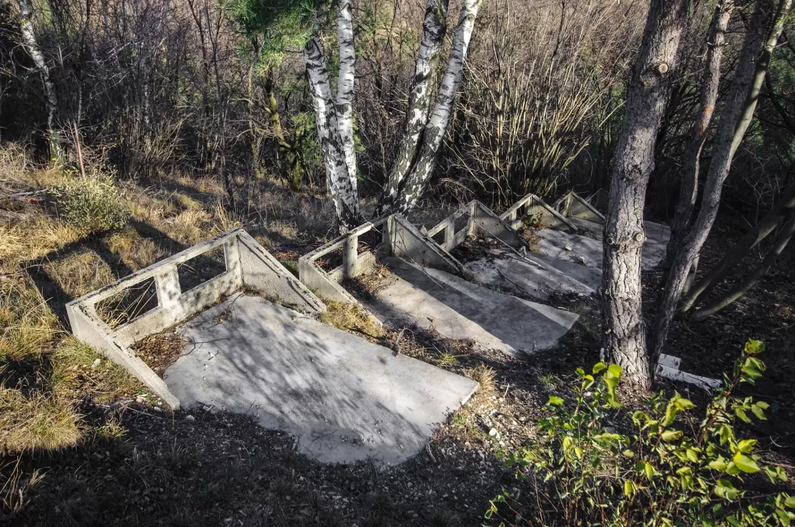
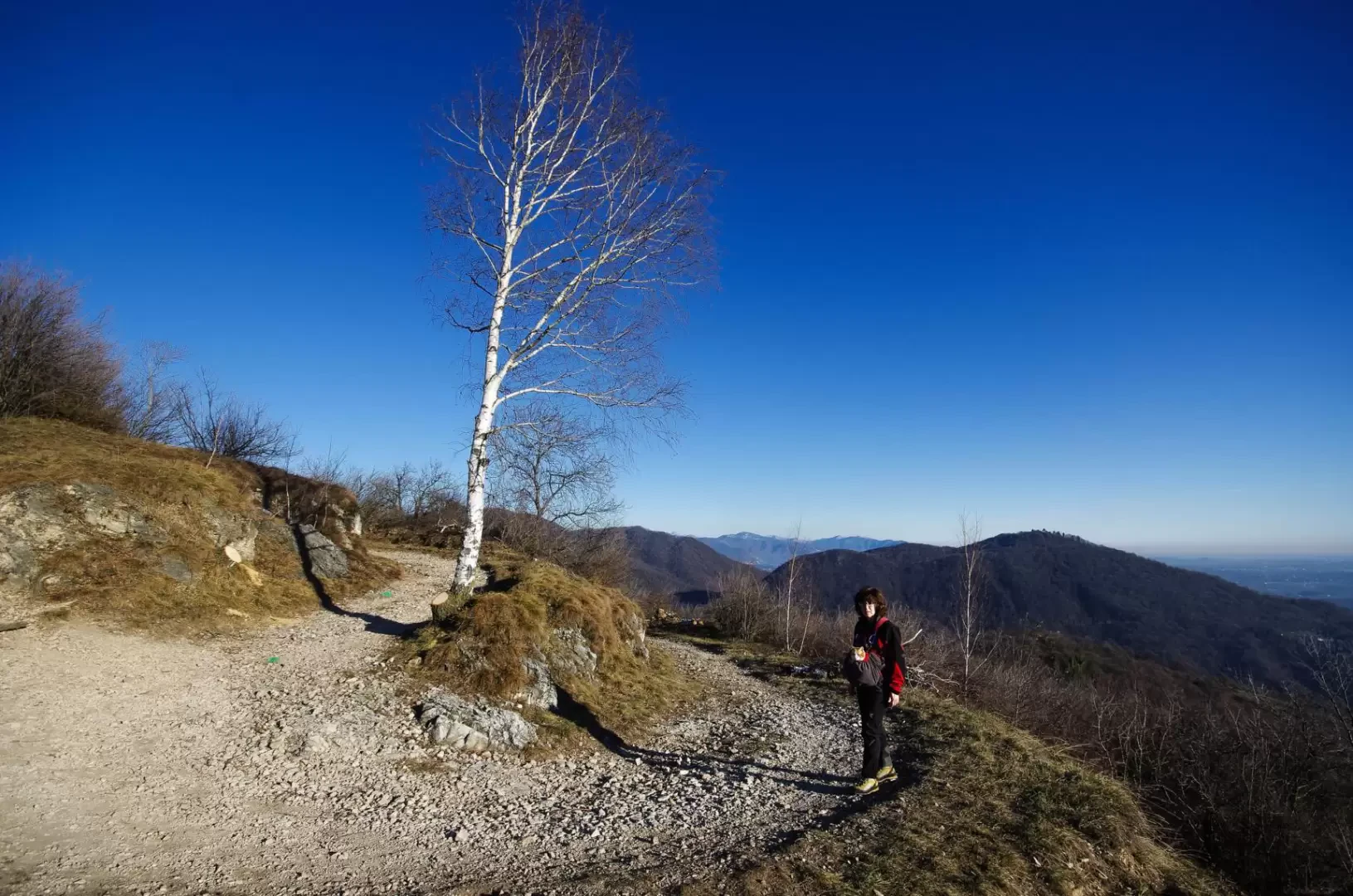
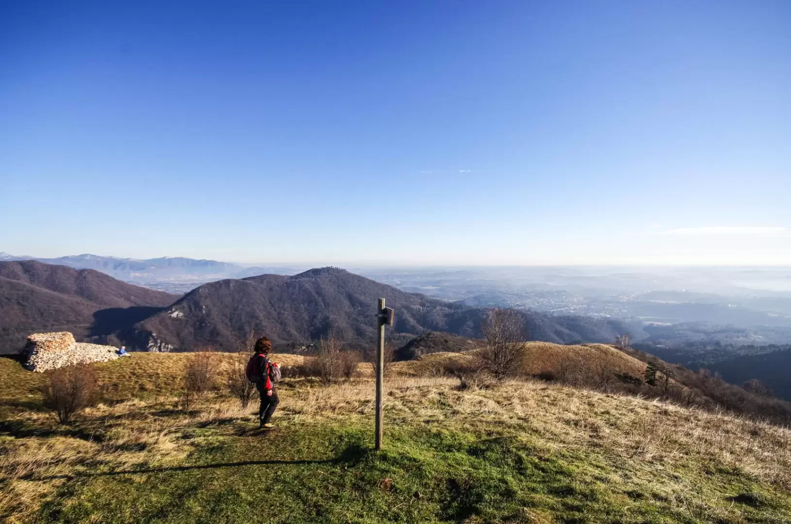
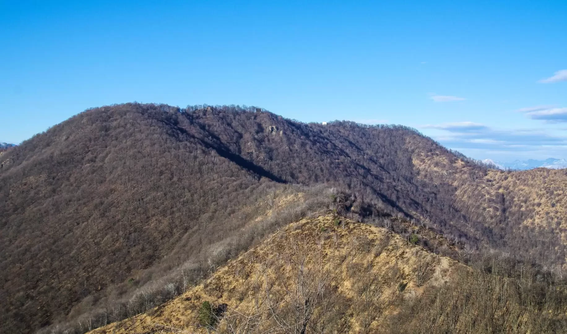
Classic round trip that - in the territory of the Campo dei Fiori Regional Park - leads to the summit of one of the many wooded mountains that surround the city of Varese from the north. A steep path leads to the road and military structures that - belonging to the Cadorna Line complex - crown various heights in this area close to the Swiss border. The very summit of Monte Martica is a square equipped as a gun emplacement. Great views of the plains, Monte Rosa and the Valais Alps for much of the ascent.
Description
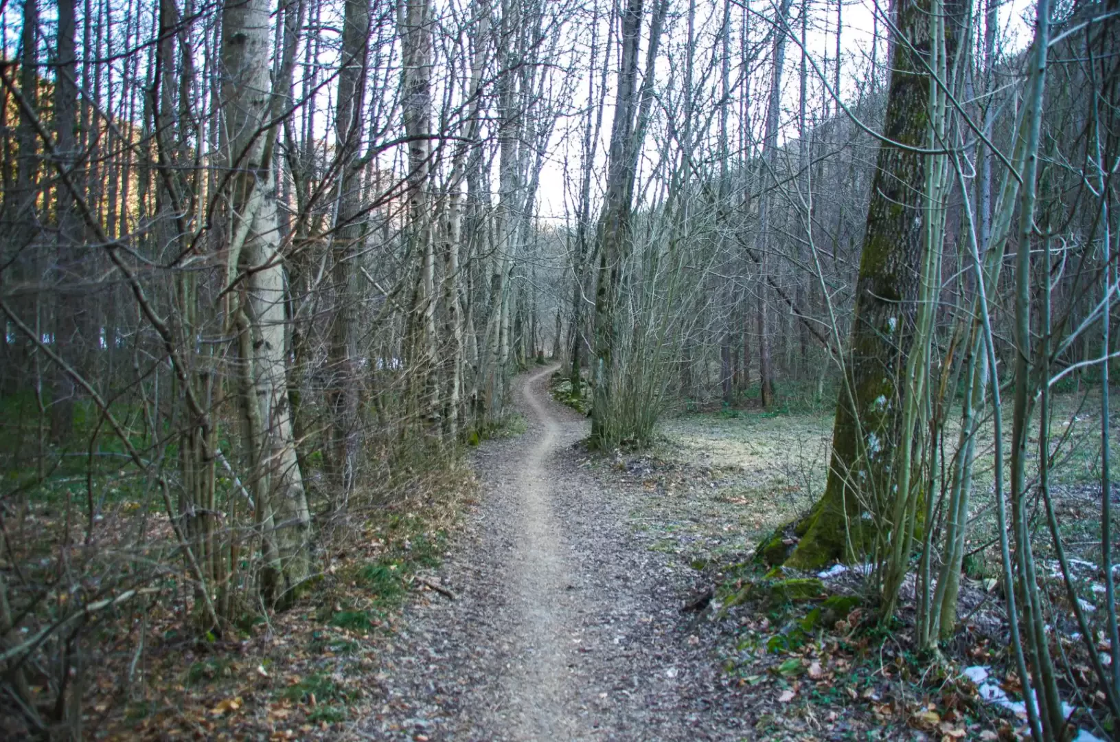
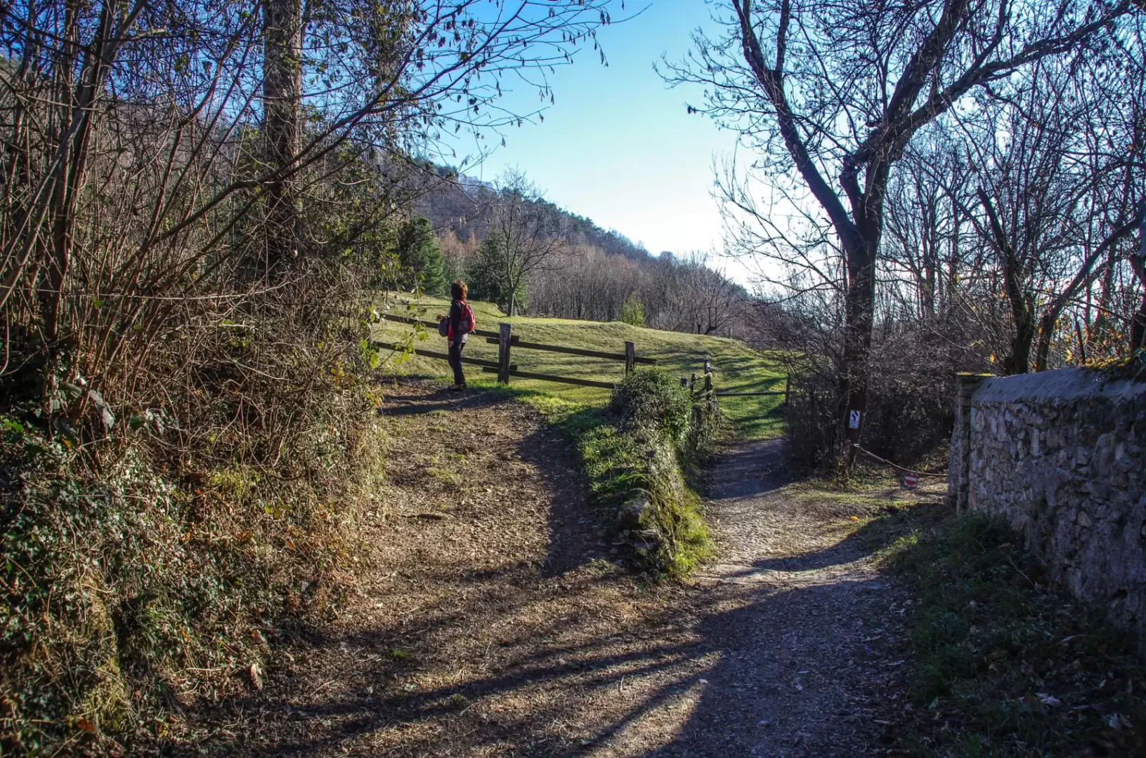
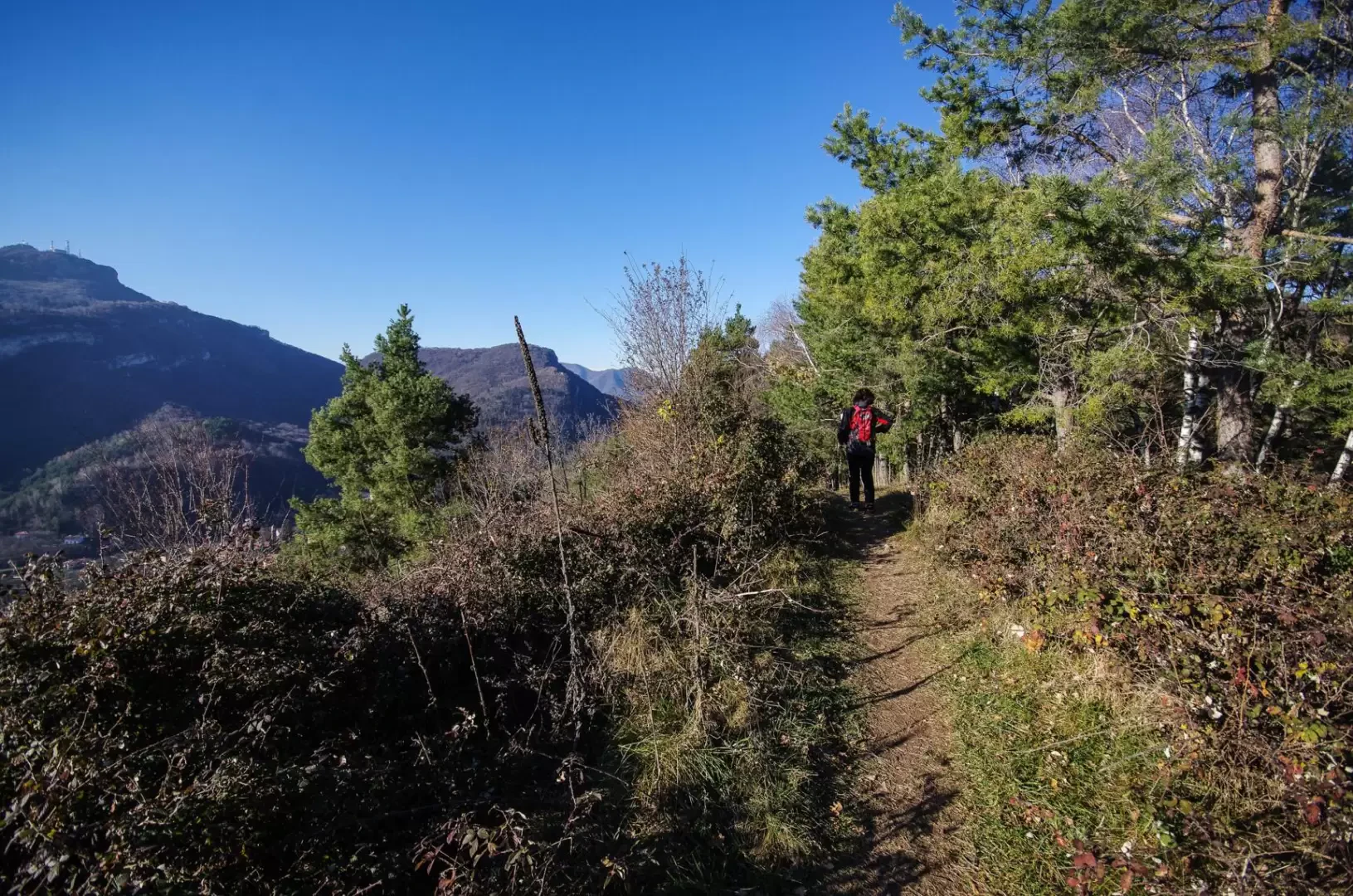
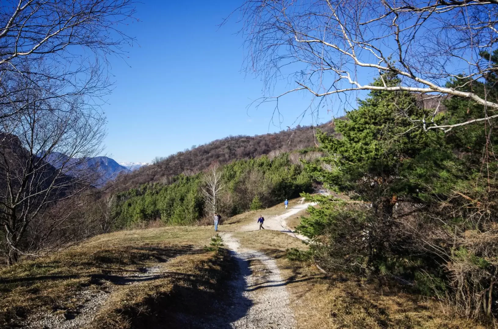
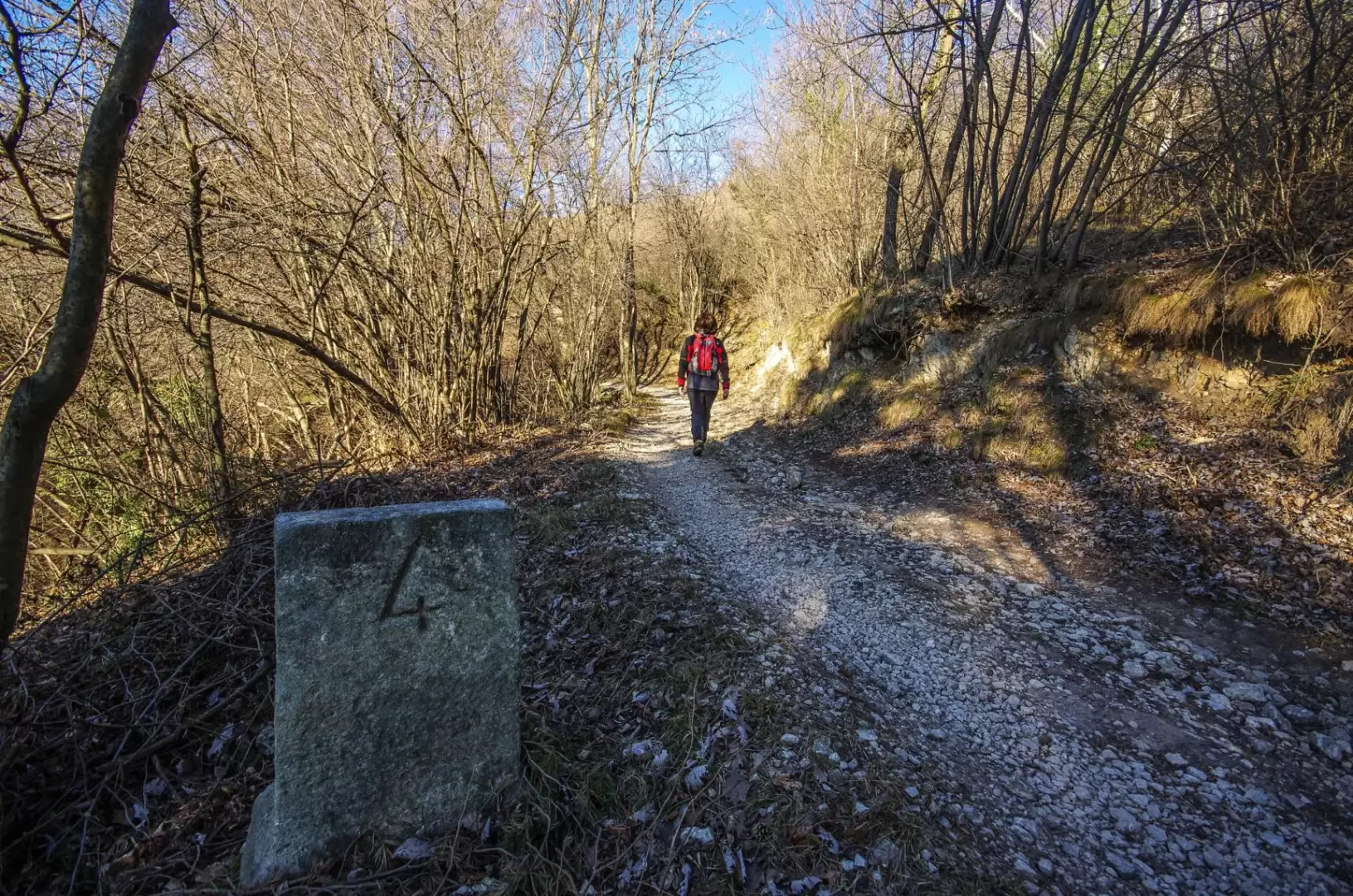
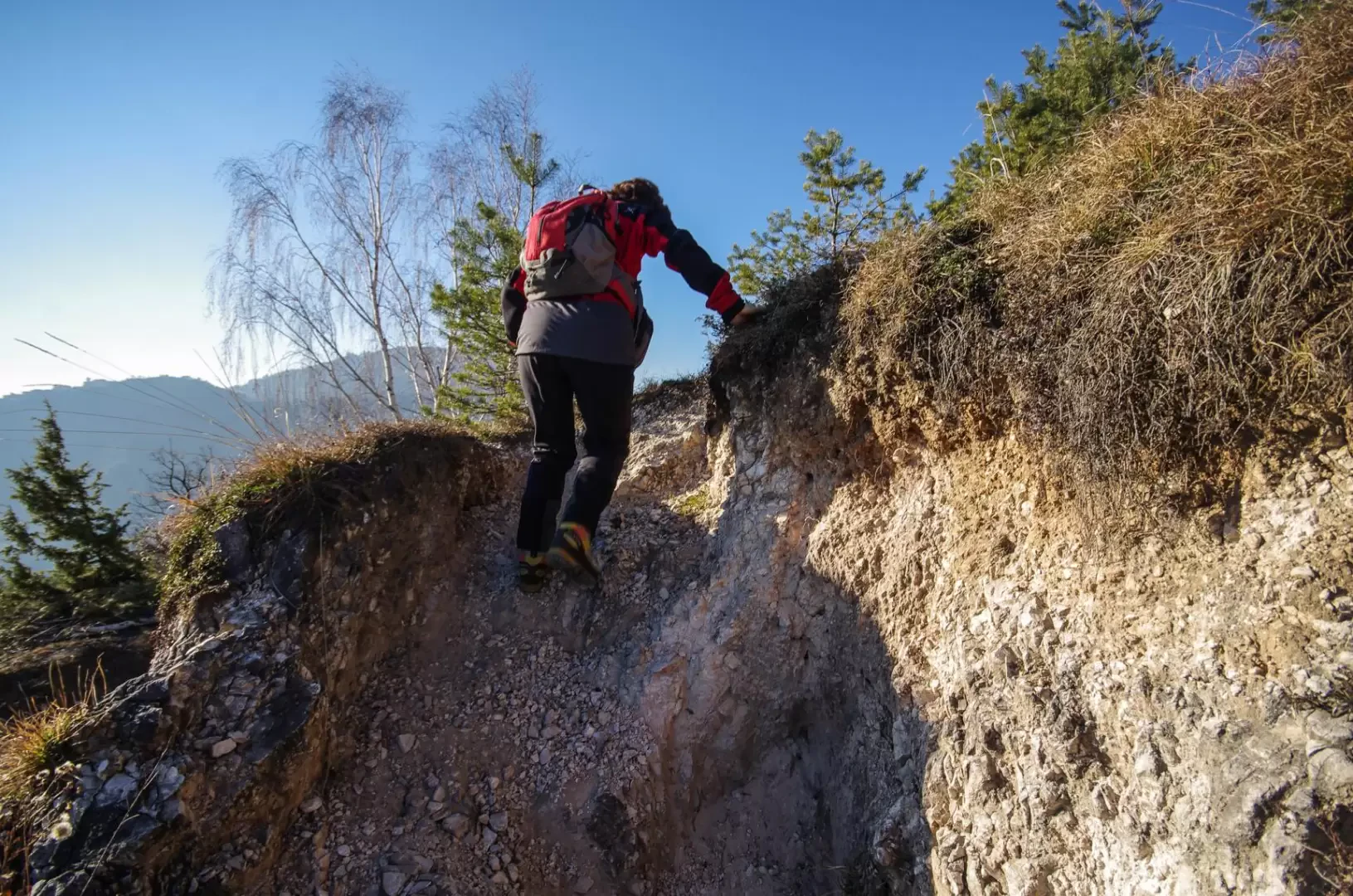
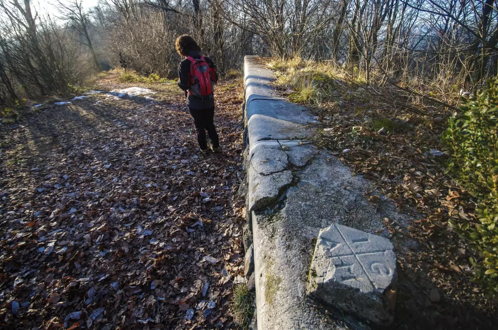
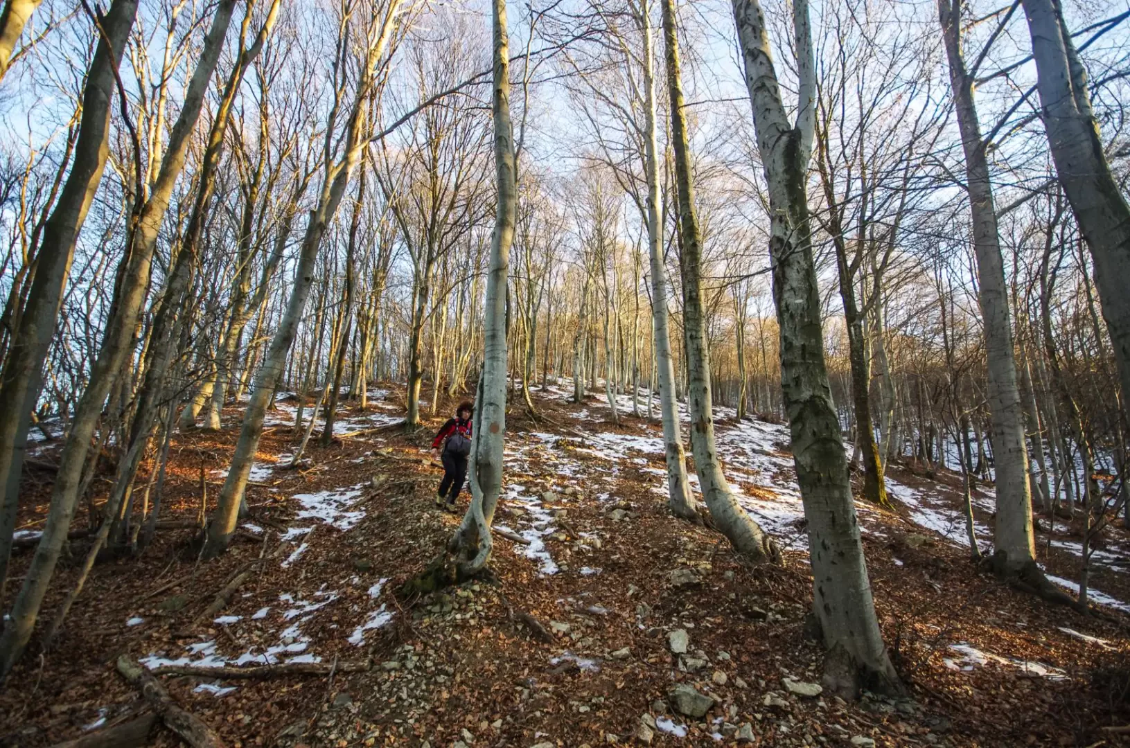
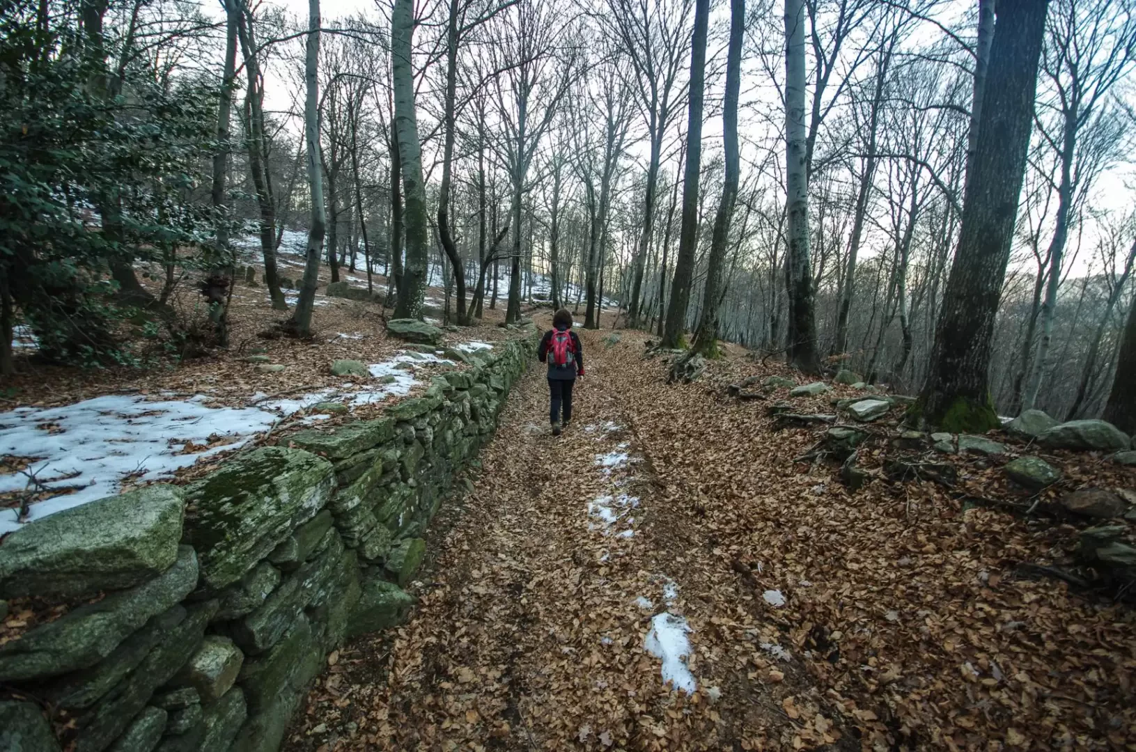
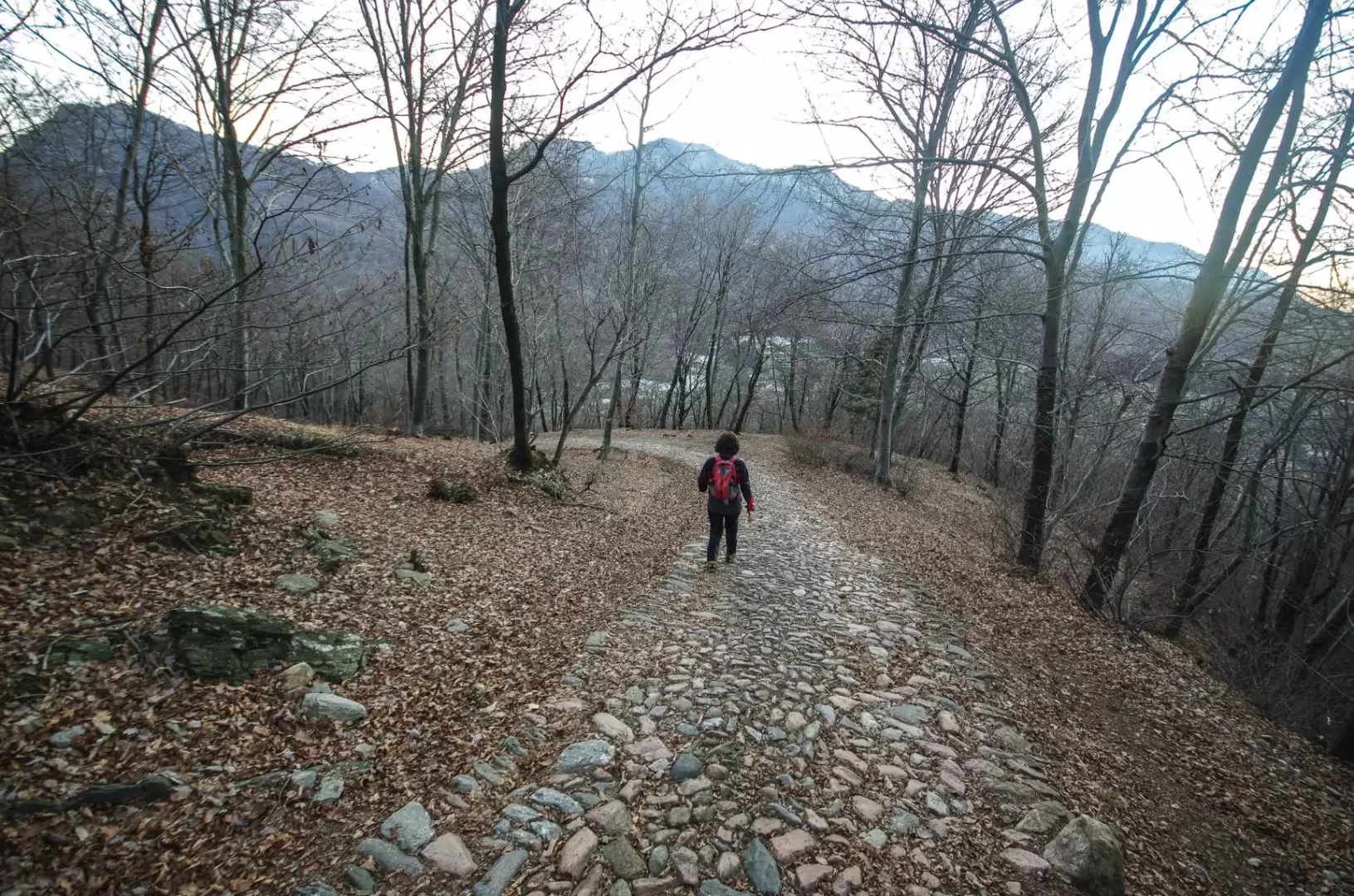
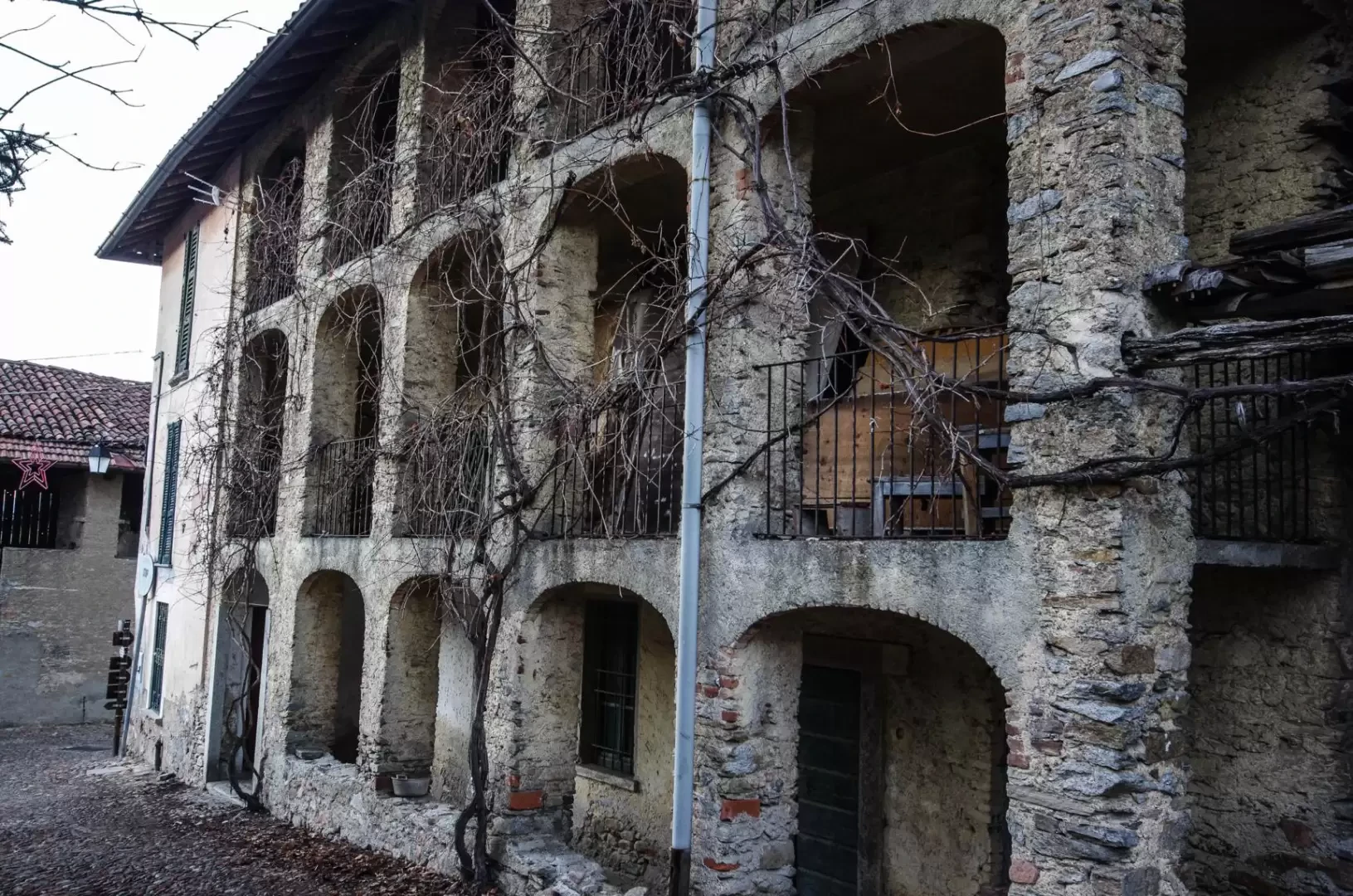
From the Brinzio cemetery 516m, head towards the centre of the village, where you will immediately see the signs for the small lake. We take a dirt track - to the right of the pond itself - that enters a beautiful wood at the bottom of the little valley; with an up and down path, we gradually approach the provincial road and reach it near the Passo della Mottarossa 565m. Cross the road and, after the entrance to an agritourism, you will find the cart-track that shortly leads to the houses of Rasa di Varese: following the main road, cross the small village and, near a crossroads on the border of the meadows, turn left uphill along a fence; entering the woods, leave the signs and follow the fence on the right, going up a steep path through the pine and oak forest. When you reach the top of a wide crest, you join a wider dirt track: at Pian Valdes 704m, you reach the military road that climbs from Bregazzana to Monte Martica. Follow it in a gentle ascent to the left until you come to a series of hairpin bends, where it is possible to move up the route by taking a few short cuts. A last traverse of the military road bypasses the head of a secondary valley and reaches a second and final crest: here, following the ridge trail, with an extremely scenic walk, you can reach the summit cross of Monte Chiusarella 915m [the military road instead keeps to the eastern side of the mountain]. A very steep path descends in a few dozen metres to rejoin the military road. From here, we follow it for a long time in the last regular hairpin bends until we reach the summit square of Monte Martica 1032m. The descent, which is well signposted at the entrance to the summit forecourt, immediately changes progression: a wide stony track descends the steepest line into a splendid beech forest. At a plateau, leaving the turnoff to Bedero Valcuvia to the right, one moves over damp terrain to the left and - after another steep descent - reaches the Pian di Sciucc forest, parcelled out by dry stone walls according to ownership. The descent to Brinzio from here follows a beautiful cobbled road that - in places very steep - meanders through the forest to the first houses in the village. Beyond a notable farmhouse with a loggia, following the lanes to the left, you soon find yourself back at the starting point.
Galleria fotografica