Monte Liprando, from Montoggio
Access
From the Busalla [A7] exit, take the road for Casella and Avosso, until you reach Montoggio where you can park, 13 km from the motorway exit (either along the straight stretch before the bridge or at the sports field further along - now subject to works).
Introduction
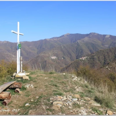
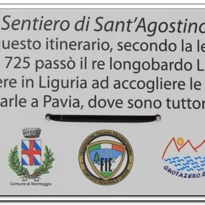
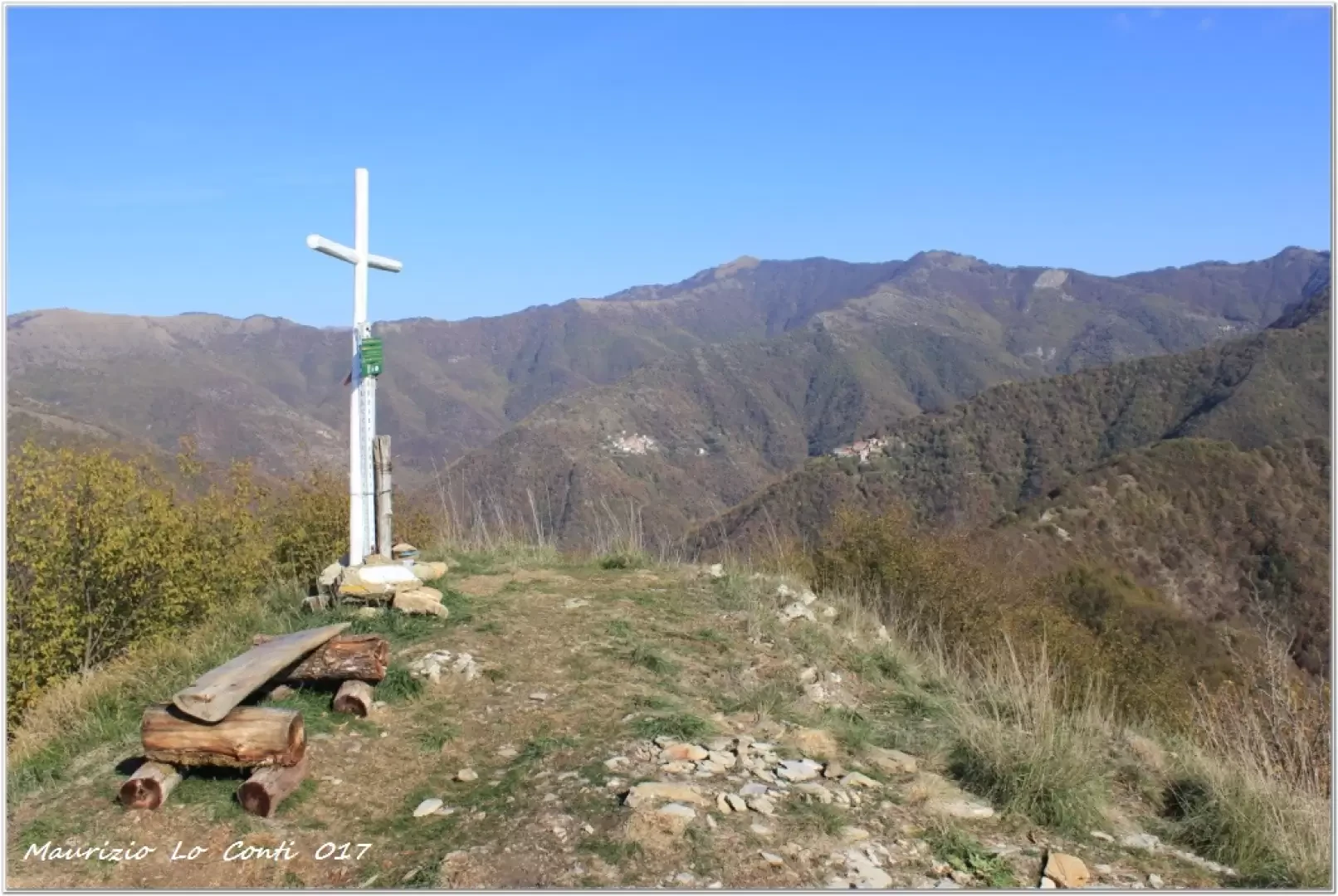
Mount Liprando is a very scenic peak, now once again accessible from Montoggio after the recent recovery of the old Fie path by some Quotazero forum users. From the summit, the 360° view is very wide! The path is dedicated to "Sant'Agostino", in memory of the legend that links the remains of the saint to the Longobard king Liutprando.
.Description
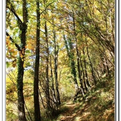
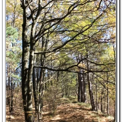
We cross the bridge over the Scrivia stream and on the left (Via Insurrezione - 439 m) begins the Fie signpost for the summit. After passing another small parking area, we leave the asphalt road and turn left. In a short time, you reach a crossroads where you ignore the turnoff to the right for the village of Gorretta. We pass an isolated but still well-preserved building and then tackle the steepest part of the track through an oak forest for a not-so-short distance. One thus climbs the ridge between Val Pentemina and Val Brevenna. You climb for a long time and when you see two small walls on either side, it means that you are about to level off from a small saddle, below Monte Garego (1h 30). Here you turn right, still gaining altitude. From the 'Brava dei Piani', characterised by dense woodland, the route passes on the northern slope of Monte Badriga (basic symbols in this section). One passes a gate, where a tractor track begins. Further on, it is neglected and the path bends to the right until it reaches the watershed again, finally leaving a track that runs level. With two slightly difficult passages, you are at the summit. Not before you have had the illusion that you have arrived, but the summit is only a few minutes away (about 3h in all, with a leisurely walk - 2h30 for the return). Mount Liprando (1122 m) is in a beautiful location and offers a splendid 360-degree panorama!
The return is by the ascent route. The path is very well marked, but on the way back you have to be careful because of the many forks in the path (if you walk carelessly you can make a mistake!).
All in all: Beautiful day, with excellent visibility disl. 700 mt Dif. E for approx. 5h30 Tot. + all breaks to see the various sights
Photo file pdf:
http://cralgalliera.altervista.org/Liprando017.pdf
Other 2017 outings:
http://cralgalliera.altervista.org/altre2017.htm
Previous area visits:
http://cralgalliera.altervista.org/CarsiAvosso016.pdf
NB: in the case of an excursion, always check with FIE, Cai, any park authorities or other institutions, pro loco, etc., that there have been no changes that have increased the difficulties! No liability is accepted. The present text is purely indicative and not exhaustive.
Info Hiking Section Cral Galliera: http://www.cralgalliera.altervista.org/esc.htm
Trips 2017 at the link: http://www.cralgalliera.altervista.org/gite2017.pdf
General Information
Signposts: Trails with Fie markings
Water:Montoggio
