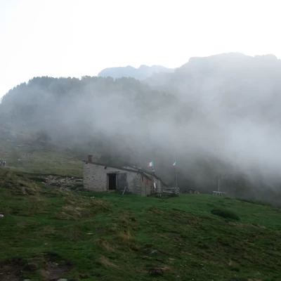
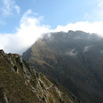
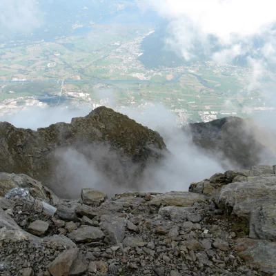
Monte Legnone, from Rifugio Roccoli Lorla
Access
SS 36 Milano-Colico exit Dervio. Follow the signs for Valvarrone - SP67 as far as Tremenico.
At the entrance to the village turn left for Subiale, Lavadé, Rifugio Roccoli Lorla.
Carefully follow this paved but narrow ex-military road which, with a series of bends and hairpin bends, leads to the car park below the refuge.
Introduction
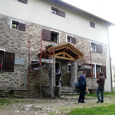
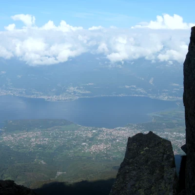
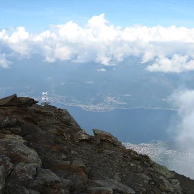
Mount Legnone is the highest peak in the province of Lecco. With its pyramidal shape, it is clearly visible from the entire Valtellina and from the south and west shores of Lake Como. At 2609 m, it marks the western sector of the Orobian Alps and separates Valtellina from Val Varrone. Although alpinistically uninteresting, it is nevertheless a panoramic point of great importance, as its isolated position in relation to the other peaks of the Orobic Alps offers one of the best views of the Central Alps. It can be reached from Colico and Delebio in Valtellina or, more appropriately, from Val Varrone, a lonely, wooded valley adjacent to Valsassina. The normal route, presented here, starts from the large clearing used as a car park at an altitude of 1430 m, just below the Roccoli di Lorla refuge (1450 m). To the west of the clearing is the secondary peak, the Legnoncino, at 1710 m.
.Description
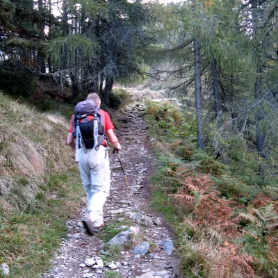
From the car park, take the path to the left through a beech and larch forest. The course is slightly uphill with numerous ups and downs. After a few minutes, the path curves to the right into a beautiful environment of larch trees with fern undergrowth, which soon leads to the ridge, bordered by dry stone walls. It is already possible to admire the most important peaks of the Val Masino and Valmalenco.
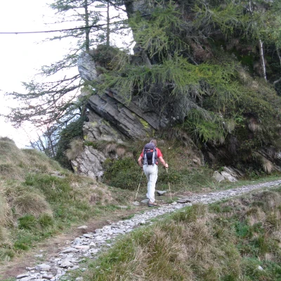
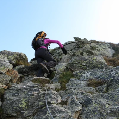
In a short time you reach the Agrogno alpine pasture (1650 m) where the path begins to climb with a more marked gradient among more sparse larch trees and the first outcropping rocks. There is a slightly exposed point where a rope is located.
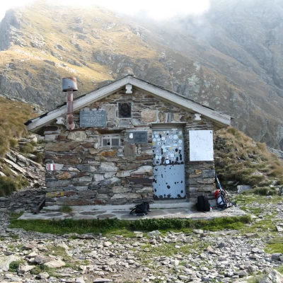
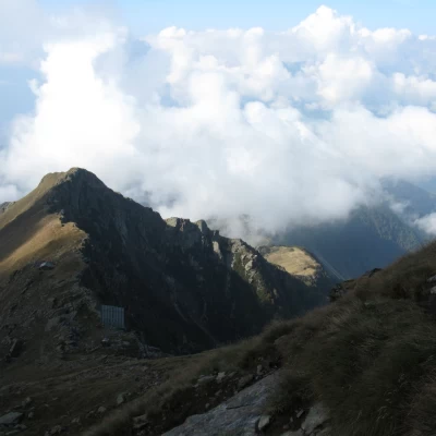
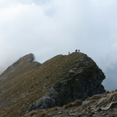
The path, which is always clearly visible, then climbs rather steeply up to Porta dei Merli (2146) after which, a few hundred metres away, is the Silvestri bivouac (ex Cà de Legn) where a stop is called for before tackling the final climb.
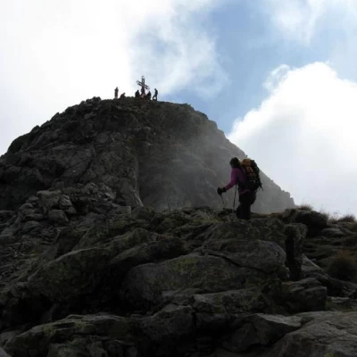
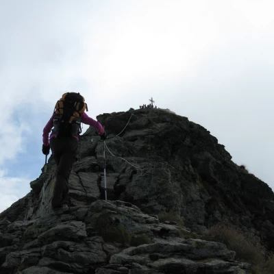
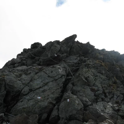
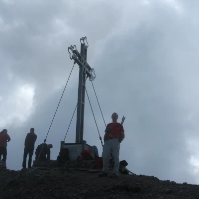
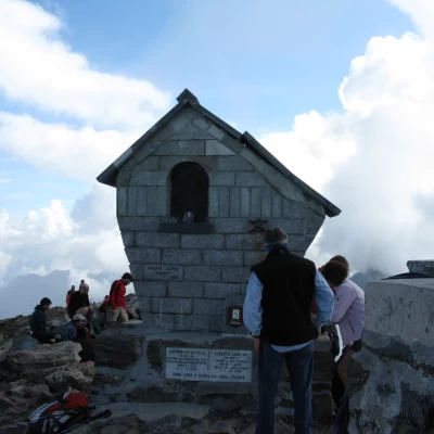
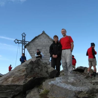
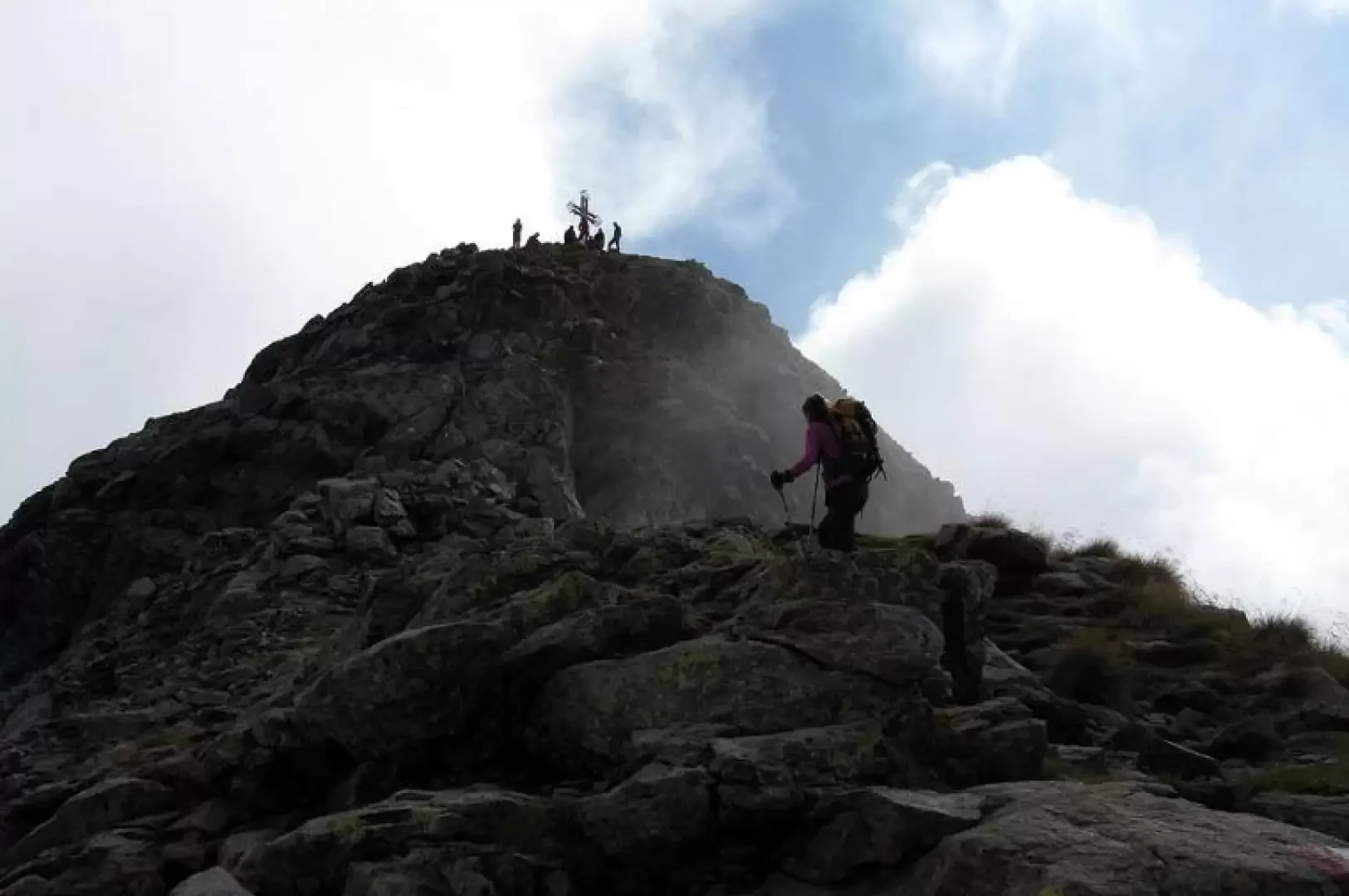
There are in fact 460 m of tiring ascent on a steep path along the southern ridge of the west side of Legnone. At first you face it slightly uphill, then immediately on rocks, which you overcome with a rope. Continue along small rocks until you reach a signpost before the last narrow and rocky section that you follow along the edge of the ridge. Just below the summit other ropes help a not difficult but vertical climbing passage and finally you reach the summit where an iron cross and a stone altar are placed.
The descent is along the same route as the ascent.
Galleria fotografica
We have been there
Monte Legnone
gita faticosa, non tanto per lo sviluppo o il dislivello quanto per il sentiero, comodo solo per il primo breve tratto. Rimane comunque una gita molto bella ed estremamente panoramica.
Affollamento: Molto affollato
Condizioni meteo: coperto, scarse occhiate di sole
Condizioni sentiero: buone
