Monte Legnone, south-east ridge
Access
From Milan to Delebio along the state roads and ; through the narrow streets of the old part of the town you reach the entrance to the forest track for Osiccio (it is better to ask for directions, as it is not signposted).[From January 2010 transit should be at a toll: enquire in the town hall to purchase the ticket]. As far as Osiccio, the road can be travelled with caution by any vehicle; continuing to Canargo and then to Corte della Galida, the use of an off-road vehicle and the ability to drive on a very steep (be careful going downhill!), very narrow and exposed path is indispensable. Hiking this section adds 2 to 3 hours to the total time.
.Introduction
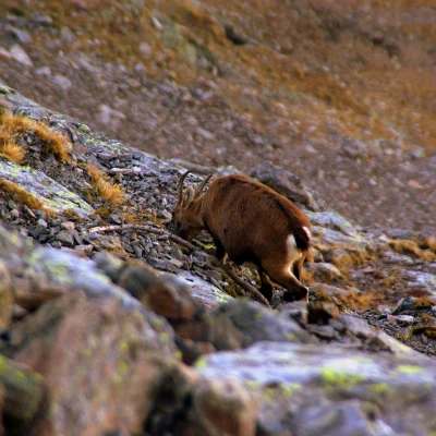
Monte Legnone (Piz Legnone in Valtellina) is a classic climb for Lombardy hikers: the panorama from the summit is unique. Less classic is the approach from the Valtellina roads, but certainly more varied and interesting: there is a chance of approaching ibexes, military roads in an excellent state of preservation (Cadorna Line) are followed, and the route can be varied with different paths for the outward and return journey.
Description
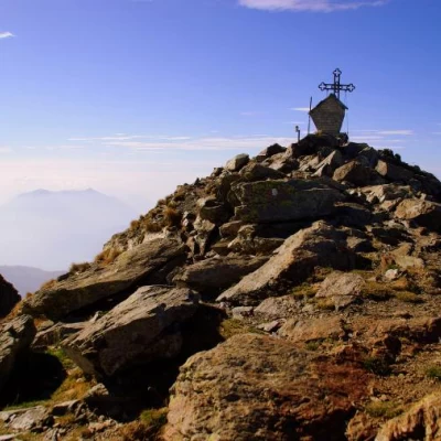
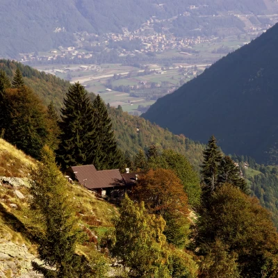
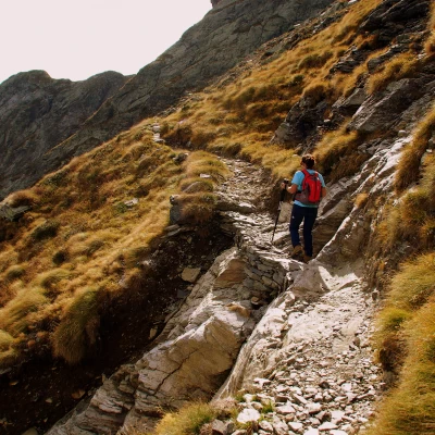
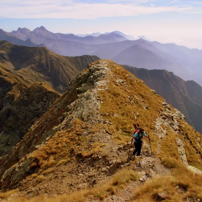
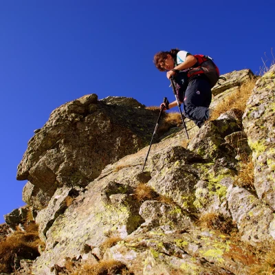
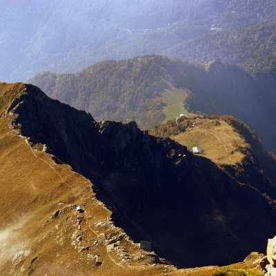
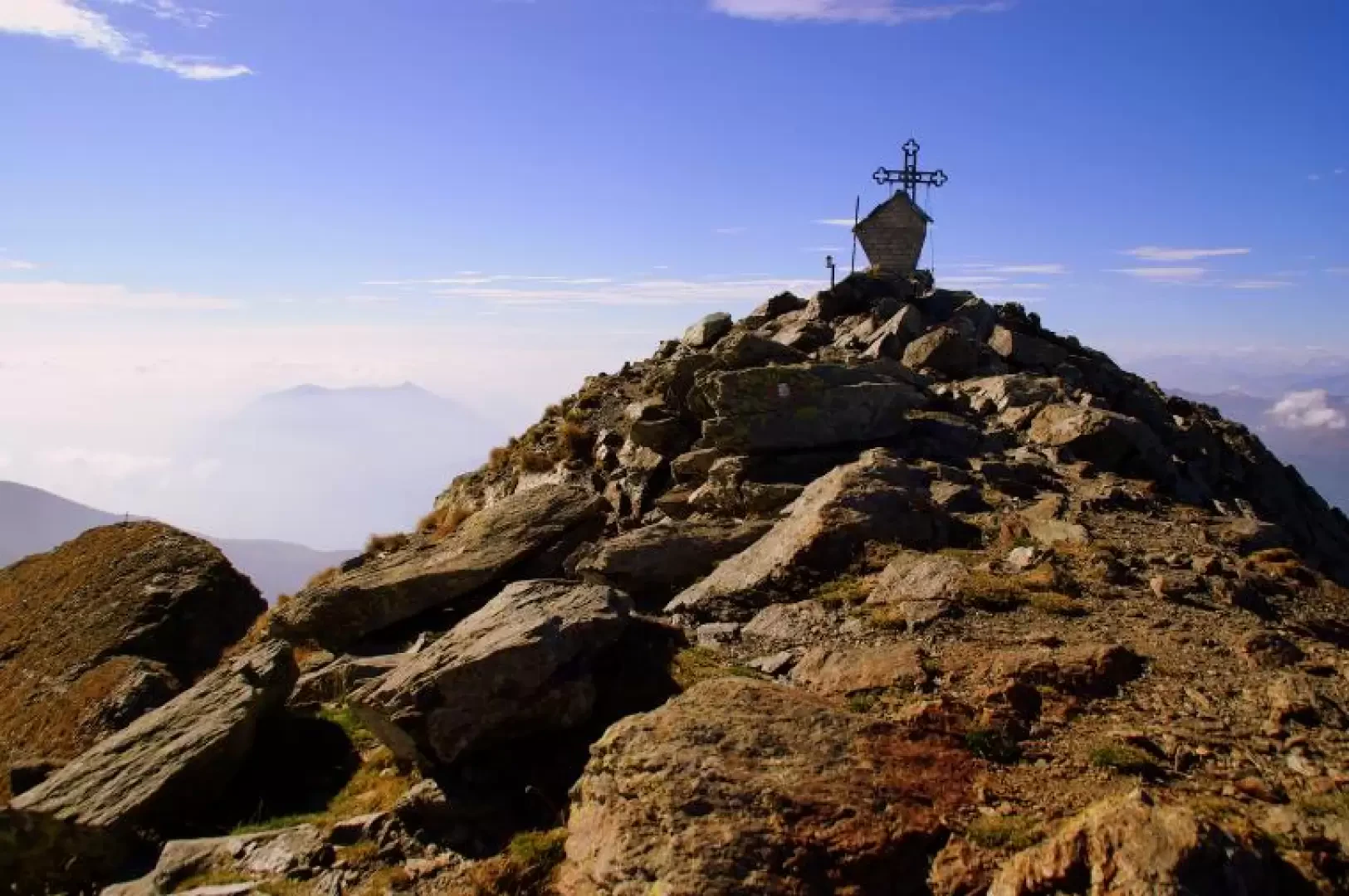
From Corte della Galida (1413m), take the path that descends from the parking area to cross a small stream; beyond this begins the ascent on a beautiful mule track that, after a few steep bends, leads to Alpe Cappello (1521m) (in the process of being transformed into a refuge). The next section is to be followed carefully, given the inadequacy of the very old paint markings. Continue past the alp in the direction of the amphitheatre of the Cappello pastures: from a distance, on a hump, you will notice a post with several signposts; when you reach it, climb up the steep pasture to a large isolated boulder in the valley. Cross the small stream in the direction of the Casera Cappello (1640m) - characterised by an unmistakable avalanche wall - and immediately climb up its left bank: continue without any traces until you find a small path that, right on the vertical summit of the avalanche wall, joins the military road coming from the east (Casera di Luserna). Continue to the right. Quickly, the track descends, losing itself in ancient and recent landslides: do not return to cross the little stream - always the same - at a risky apparent ford; go up the left bank for a few dozen metres to cross a new important military mule track coming from the west (Rifugio Alpe Legnone; direction to follow downhill). Follow it uphill to the left along a double series of regular hairpin bends interspersed with a shifting traverse. [The structure of the military road system of the Cadorna Line - still clearly visible here - is characterised by dry retaining walls, short "viaducts" to level out the route in depressions, hairpin bends with a radius sufficient for manoeuvring horse-drawn vehicles]. At an altitude of about 2400 m, the road changes slope overlooking the Valvarrone - panorama of Valsassina and Grigne - and, after passing two tunnel shelters, abandons the flat continuation (descent to Alpe Gallino and Premana) to ascend along a landslide path on the ridge line (south-east ridge of Legnone). The last 200 m of altitude difference - although not dangerous - must be climbed carefully between passing tracks, broken rocks and short climbs (max I°). [The rock is solid on the ridge line and more friable on the two slopes]. We soon reach the spacious summit of the Monte Legnone 2609 m (metal cross, religious monument). The panorama is incomparable in every direction, given the isolation of the albeit not very high peak. The return route follows the outward route as far as the barely visible junction with Alpe Cappello. We then continue on the military mule track that from here, after a series of hairpin bends, extends in a long traverse to a new junction: we leave the ascent to Bocchetta di Colombano on the left (descent to Rifugio Scoggione and Colico) to continue on a falsopian slope to the coast of Rifugio Alpe Legnone 1690 m. A few tens of metres before the hut - blandly indicated on a rock - a small path branches off to the right: the track, steep and uneven among loose stones and roots, leads directly to the small car park of departure.
.