Monte Gazzo, from Sestri Ponente

Access
The best access from the city centre is by train on the Acqui Terme line (convenient and fast), with a drop-off at the 'Costa di Sestri Ponente'; there are very few parking spaces in the area, some just near the train stop.
Introduction
The ring of the Sanctuary of Monte Gazzo, above Sestri Ponente.
The trip is relatively short, but given the first cold of the season (at the summit it is 8 degrees, with wind) it's all right. The panorama from the summit is vast, very beautiful and varied (Genoa airport in the foreground).
Description
You descend to retrieve via 16 June 1944, where you keep to the left until the junction with via Oliva.
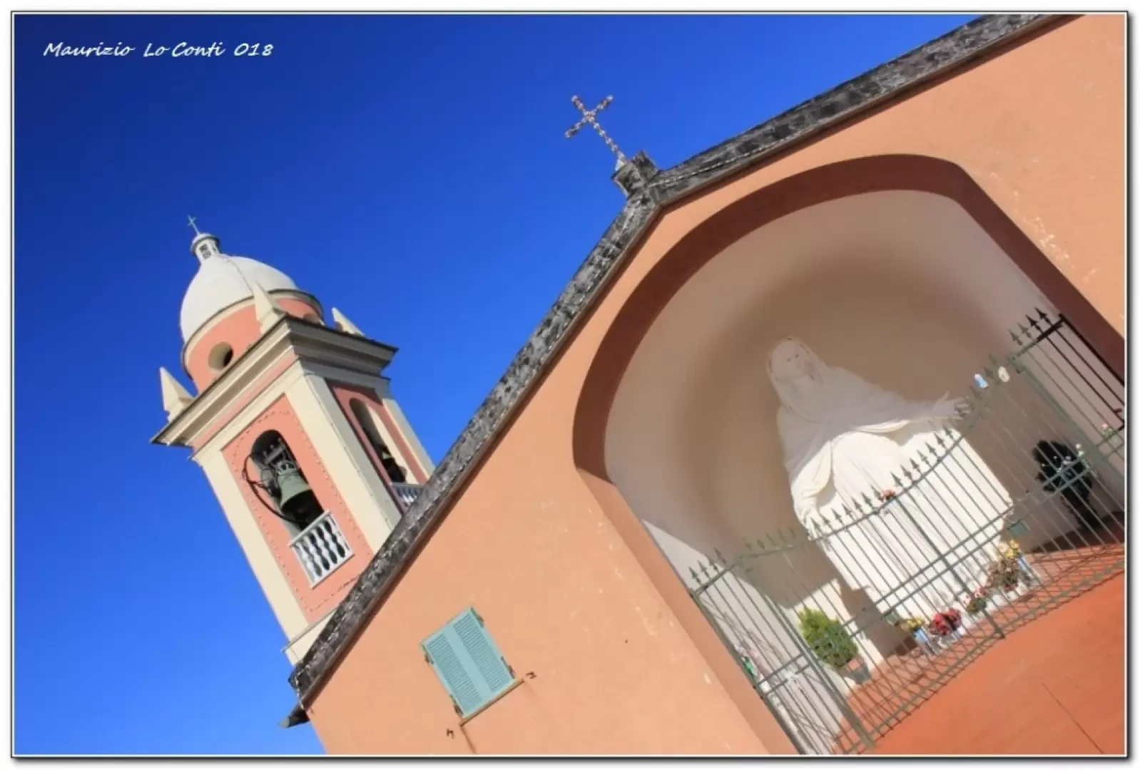
You ascend via Oliva to the left and proceed between the crevices, mindful of the obvious markings. You face a metal ladder and ascend the south slope in a series of hairpin bends through sparse vegetation. Continue uphill into a denser forest and, almost at the end, twice pass the road but insist on the path, which then emerges from the church square (421 m - 1h10). Above, there is a 5-metre-high statue of Our Lady of Mercy, and further down, there is a typical tavern and a museum dedicated to speleology.
After the break, head back along the last stretch of the uphill path until it crosses the road a second time (there is an alternative path to the outward journey). Go right to a fork where you take a track that bends to the left. The return journey is made by descending immediately to the right (straight ahead, a few minutes, the area where the old military forts are located). You follow a red-brick mule track and lose altitude. First you pass the small church of San Rocco and, continuing to slope down, you touch the astronomical observatory. Beyond the little wall, on the left, you notice the buildings of the old kilns (cone-shaped, where lime was produced). In a few minutes, you will come out near the railway stop and close the loop (1h\1h10).
In the end: Good weather. Overall T/E - 2h15 Tot - approx. 350 m difference in altitude.
If you want, here is the photo pdf file, with a bit more news:
http://www.cralgalliera.altervista.org/MonteGazzo018.pdf
Previous visits:
http://www.cralgalliera.altervista.org/giornatafie2008.pdf
http://www.cralgalliera.altervista.org/Pranzo015.pdf
http://www.cralgalliera.altervista.org/anno2018.htm
http://www.cralgalliera.altervista.org/altre2018.htm
NB: In the case of an excursion, always check with FIE, Cai, any park authorities or other institutions, pro loco, etc, that there have been no changes that have increased the difficulties! No liability is accepted. This text is purely indicative and not exhaustive.
Info Hiking Section Cral Galliera: http://www.cralgalliera.altervista.org/esc.htm
Trips 2018 at link: http://www.cralgalliera.altervista.org/gite2018.pdf