Monte Faierone

Edited by:
Giancarlo Beretta
Introduction
The itinerary is not numbered except in the cadastre of Ossola footpaths and on some excursion maps with the number S6, but it is nevertheless well indicated by poles and paint markers. The ascent to this scenic peak runs through beautiful and peaceful beech and chestnut woods, where there are ruins of huts and dry-stone walls that bear witness to a past life of industriousness on the part of the local inhabitants. Proof of this is the stone staircase, the 'scalascia', which is located approximately in the middle part of the climb. On the upper part of the ascent ridge, outside the birch forest, the views are beautiful and manifold, all the way to the summit where there is a 360° view of the pre-Alps of Upper Verbano, both Italian and Swiss, and of the picturesque Lake Maggiore below.
Description
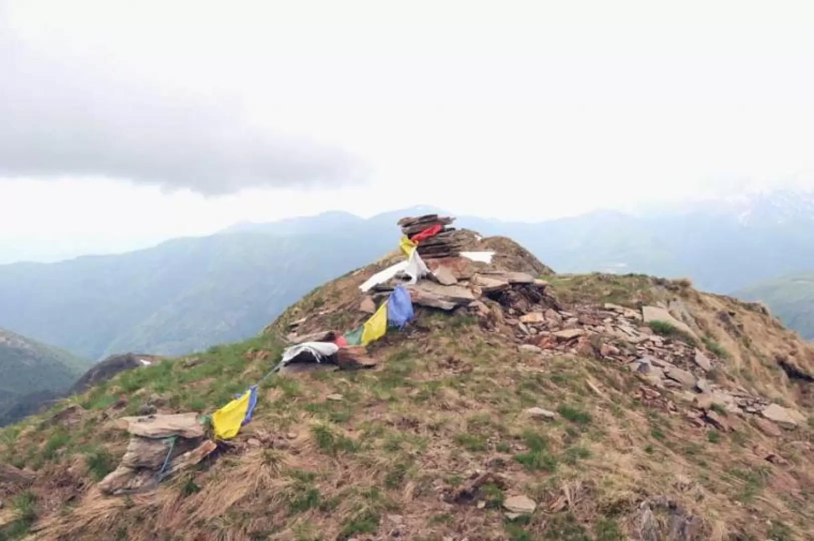
From the car park, go up the road towards the church and to the right of the square is a small porch from which the route starts. We ascend through the small village and immediately outside it, at a marker, begins the path that enters a beautiful forest of beech and chestnut trees. The track runs along several wooded terraces supported by stone walls and soon reaches the beautiful little church of the Oratory of San Luca (690 m). Continue uphill with short climbs between other terraces and past a few ruins to reach a crossroads marked by a post where, following the signs, we take the path to the right. Just above, we come to a farm track that we follow for about a hundred metres, turning left onto the obvious path and, after about ten minutes, we reach the lovely panoramic village of Marcalone (860 m), which we cross to return to the farm track just above. After a short distance along this too, you come to a barrier just before which, on the right, a path marked with paint marks starts off that cuts across the path of the dirt road a couple of times; having reached the road again, follow it for a fairly long stretch until you come to a fork signposted by a pole (1090 m) from where, on the right, the path starts off again and now climbs at a steeper gradient, offering beautiful views of the Swiss side of Lake Maggiore. The path now turns into a long, steep flight of stone steps at the end of which you come to a wide collar (1185 m) with a signpost from which three dirt tracks branch off: take the one that climbs gently to the right and, after a few minutes, reaches the village of Scierz (1235 m). Go past the houses, staying on the road until you reach another barrier from where, just before it on the right, a path begins, which for the first stretch runs alongside the road and then rises decisively on the ridge of the mountain in a beautiful birch forest, where the path is sometimes covered by foliage and you must pay attention to the paint marks on the stones. At the end of a steep ascent, you emerge from the forest and find yourself in front of the crest of the ascent to Monte Faierone. The ridge that leads to a first peak (1568 m) is climbed laboriously along a direct route, and from here the path crosses a collar and then climbs, again along a direct route, the last and tiring stretch that leads to the summit, where there is a small stone cairn; continuing along the easy ridge, you will soon reach the nearby and clearly visible peak.
.