Mount Faiè, from Alpe Ompio
Access
Exit the A26 at Gravellona Toce and continue in the direction of Verbania. At the roundabout entering Verbania (locality Fondotoce) turn left for San Bernardino Verbano-Parco Val Grande. Continue for a few kilometres along the provincial road that passes through Bieno; continue paying attention to the signs indicating the Park, turn left for Rovegro-Santino-Parco Val Grande and a little further on turn left again for Bieno - Alpe Ompio. At this point there are still 7 km of road between the chestnut trees, as far as the car park at Alpe Ompio (937m).
Introduction
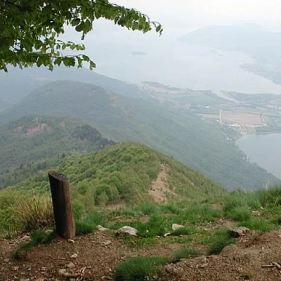
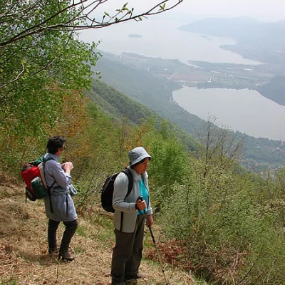
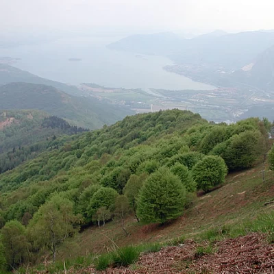
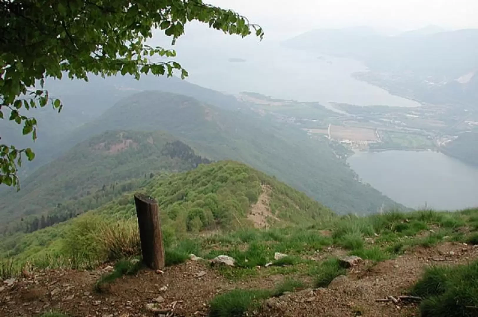
Monte Faiè is an exceptional vantage point over the Lake Maggiore and Orta areas, as well as the mountains of the wild Val Grande and Monte Rosa, and is also an opportunity to tiptoe into the Val Grande, Italy's largest wilderness area, now a Park.
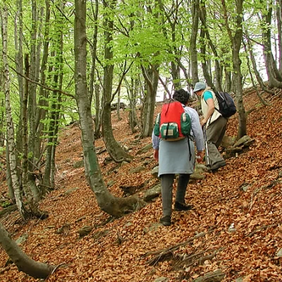
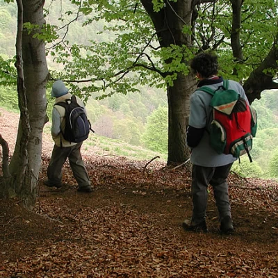
Once upon a time, the area was inhabited and dedicated to sheep farming and forestry, with regular felling of the trees that were brought down to the valley by several cable cars, one of which started from the Corte di Pogallo, a very long cable car; now the pastures have been progressively abandoned, and walking in the innermost parts of the valleys, at the foot of the steep mountains, or on the crests, where there is no mobile phone reception, you may not meet anyone for hours, and you feel a sense of complete isolation. Mont Faiè is so called from fajè - beech; its entire northern slope is covered with beautiful beech trees, soft green in spring and turning beautiful yellow-red in autumn, the two seasons in which the itinerary is recommended. This report starts from Alpe Olmo, but can be extended by starting from Bracchio, which can be reached from Mergozzo by an asphalted road from the centre of the lakeside town. Near the church, signposts begin to climb up a beautiful mule track through the woods (at a fork at the beginning, follow the signs to the left). After an hour and a half you reach the Alpe Vercio group of houses. Same route for the return.
Description
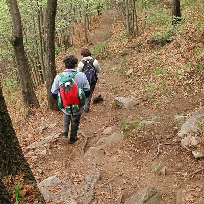
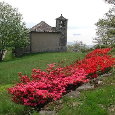
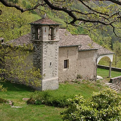
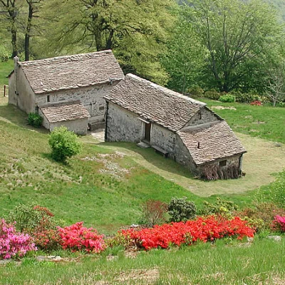
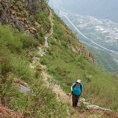
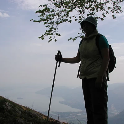
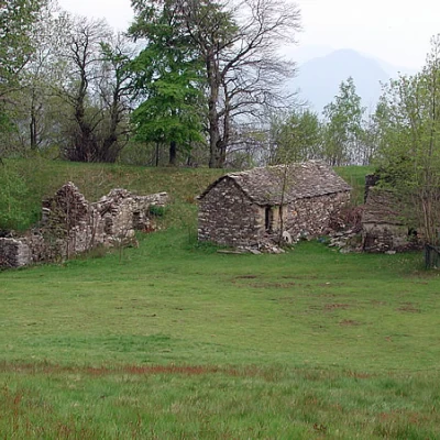
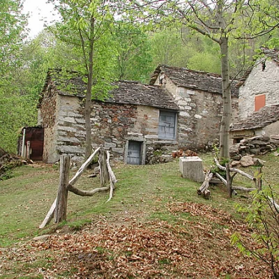
Parking the car at Alpe Ompio, (937m), take the path to the left that starts out near the Val Grande sign, and at the next deviation, keep to the left again, descending for about 200m, through the beautiful woodland, to Vercio (828m). The group of houses suddenly appears after a half-hour walk; during the last war they were bombed and set on fire by the Germans, now some have been rebuilt; in May, the alp was in full azalea bloom; between the houses there is also an old hermitage, the destination of a procession that climbs up from Bracchio at the end of July, along the beautiful mule track that can be followed by those who, starting from below (from an altitude of about 310m), want to extend this excursion by about 500m in height difference... From the alpine pasture you can clearly see to the west the Candoglia quarries, from which marble is extracted for the Fabbrica del Duomo di Milano. Behind the water reservoir, look for the path that climbs for a long time in the woods below the slopes of the Faiè, and then follows a beautiful grassy ledge to the left. Beyond the ledge, some steep zig zags take us to the Colma del Vercio (1260m), to the left of our summit. To the left is the aerial path, partly equipped, to the Corte Lorenzo summit. We follow the path to the right, which climbs steeply among the beech trees, overlooking a clearing, and climbs up the wide shoulder to the summit of Faiè (1342m). When we climbed, the sky was not very clear; those lucky enough to arrive here with clear skies can enjoy incomparable views of Lakes Maggiore, Orta and Mergozzo, Mottarone, Monte Rosa and the peaks of the Valgrande (from Ompio, dsl. 514 m, 2h15', from Bracchio, dsl. 1032 m, 3h20').
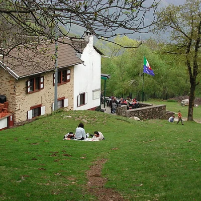
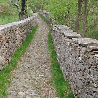
Return: behind Monte Faiè a nature trail "the tree man" descends very steeply into the woods, with didactic signs set up by the Val Grande Park Authority, follow it down to the valley; we will come across a group of mountain huts, and immediately afterwards the Ompio alp and the Fantoli refuge, belonging to the Cai di Pallanza; below the mountain hut there is a beautiful stretch of cobbled mule track between two beautiful low walls, which leads to the car in 10 minutes (0h40', 2h45' in total); those who started from the bottom descend to the right towards Vercio and from here to Bracchio (5h30' in total).
- Laghi Maggiore d'Orta e di Varese - Carta dei Sentieri 1:50000 - IGC
