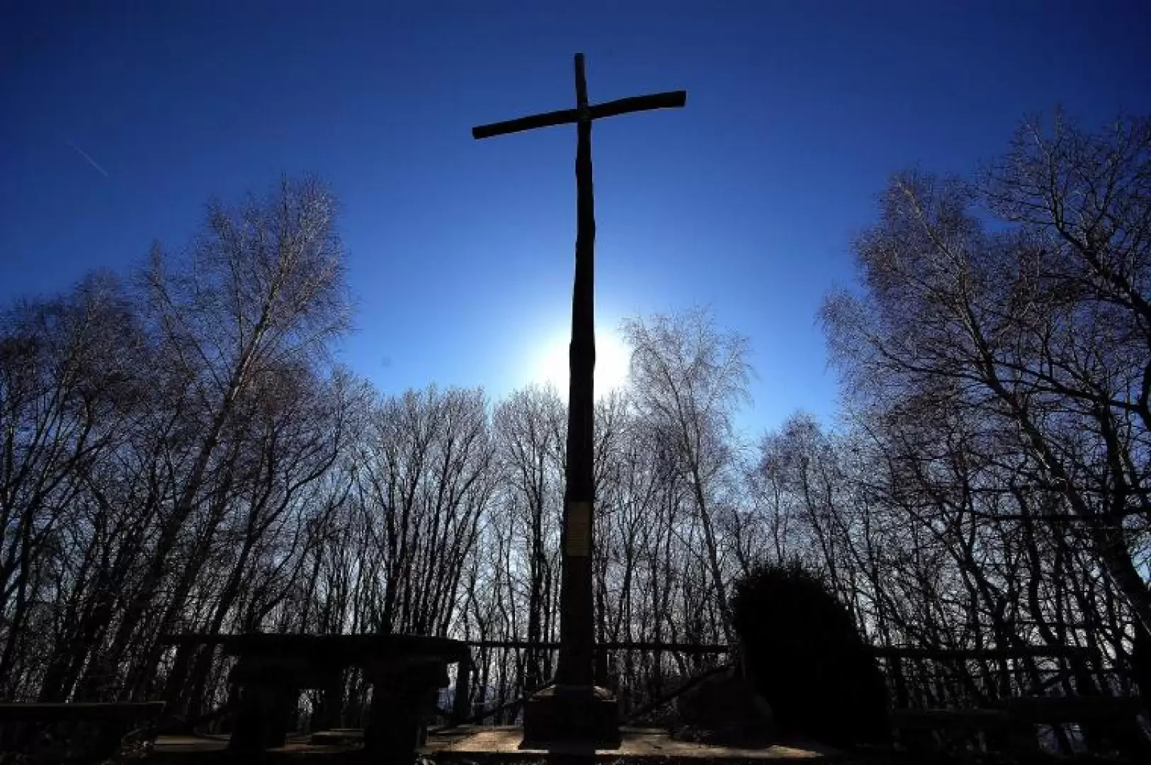
Monte Crocione, from Porchera

Access
From Milan take the Tangenziale Est (Eastern Bypass) to its end at Usmate; from here take the former SS 36 in the direction of Lecco and continue to the roundabout at Calco. Turn left in the direction of Como and continue as far as Olgiate Molgora: at the traffic lights turn right to the railway station, briefly follow the tracks, then overtake them towards the hamlet of S.Zeno. At a U-bend, take Via Caduti della Liberazione to the hamlet of Valmara, then Via Manzoni to Porchera. Very few parking spaces.
Introduction
Long hike with overcoming the main difference in altitude immediately at the start, and then continuing along the entire ridge of Monte di Brianza (ancient morainic cordon of the Adda Glacier), reaching all its high points. The route runs mainly through coppice woods that often open onto panoramic views of the plain and the surrounding mountains.
.Description
In the small, ancient hamlet of Porchera 245 m, a tower of medieval origin can easily be spotted: at its base begins - signposted - the path to be taken: it climbs steeply and cobbled between vegetable gardens and, having passed a disused railway embankment, enters partly abandoned terraces as far as the few houses of Monasterolo 482 m. Continue steadily uphill through coppice woods to the Crosaccia knoll 634 m, a crossroads of paths with a viewpoint over the Adda valley. We choose - uphill - the direction for Monte San Genesio, which leads us along the wide wooded ridge, somewhat up and down, to the vast estate of the former Hermitage 832 m. About halfway along the route, you pass the hamlet of Campsirago, from where the downhill variant starts. [A group of Polish Camaldolese monks remained in San Genesio until 1940, when they were forcibly repatriated. It is now private property] The path continues just below the ridge (where an ANA refreshment point is opened on holidays) and then recovers near a farmstead: it continues under an imposing power line and flanks a number of roccoli still in operation. A few ups and downs precede the arrival at the culminating summit of Monte Crocione 879 m: next to the high wooden cross, unfortunately, is an intrusive repeater antenna system. For the return journey, it is advisable to follow the same route to Campsirago 676 m (currently a residential hamlet with well-restored houses, but until the 1980s home to a hippy community of farmers and shepherds). Still following the signs, reach the car park at the beginning of the village and take the wide cobbled road that descends through abandoned meadows to the steep woodland leading back to the plain. Having passed the houses of the hamlets of Campiano Inferiore and Caglianelli, you find yourself on the tarmac road at Mondonico: go left along Via Gola, which, having become a dirt track, descends to the hamlet of Olcellera. You can see the disused railway track and follow the embankment to the left until you come to the uphill path near the Porchera tower.