Monte Croce - Monte Mazzoccone
Introduction
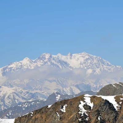
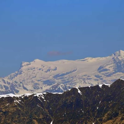
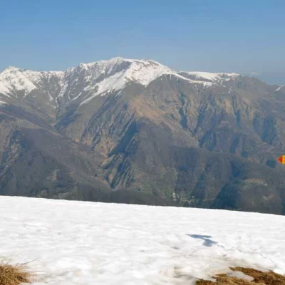
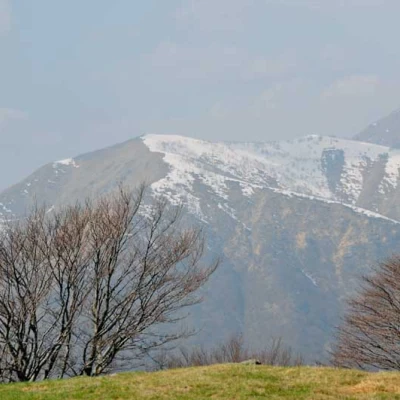
Given the modest difference in altitude and their proximity, it is advisable to climb these two peaks, even if they are quite distinct and not part of a circular route, during the same excursion, thus taking advantage of a broad panorama that starts from the Biellese, Valsesian and Ossola pre-Alps of Monte Croce, with a fine view of Monte Rosa and Monte Leone, and reaches those of the Lake Orta and lower Lake Maggiore area of Monte Mazzoccone. The route, well signposted and in any case always evident, does not involve any difficulty and it is advisable to do it at the beginning of the season or in autumn in view of the low altitudes to be reached.Description
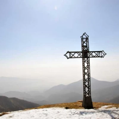
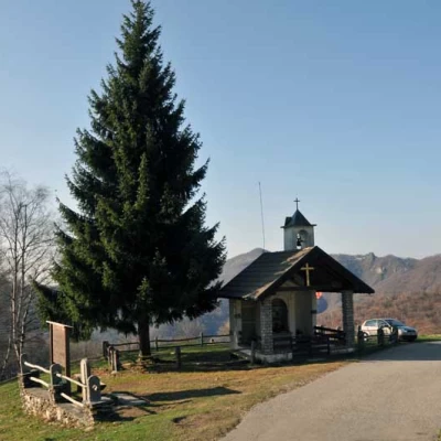
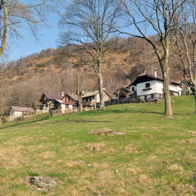
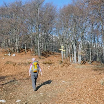
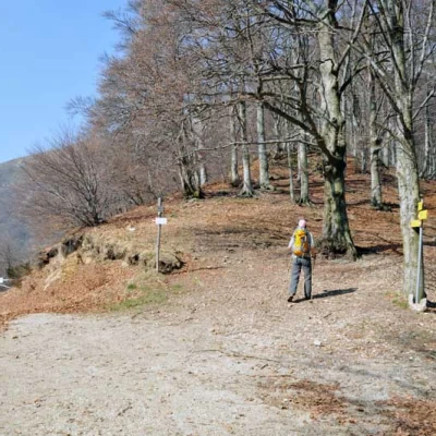
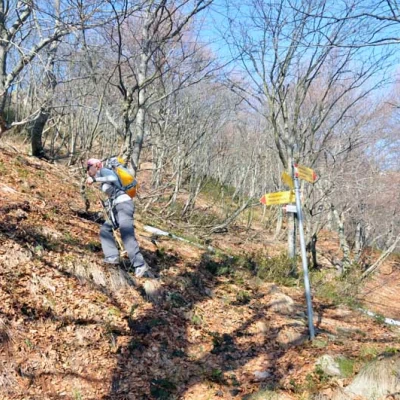
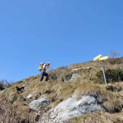
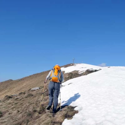
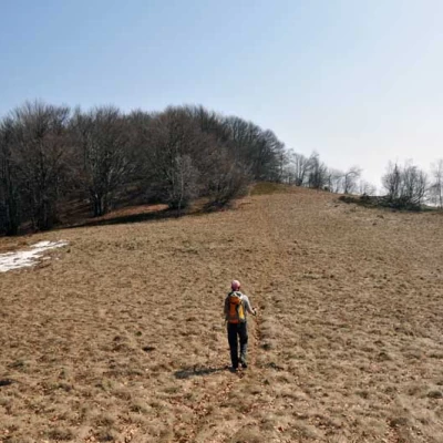
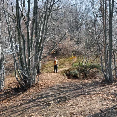
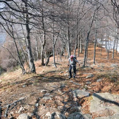
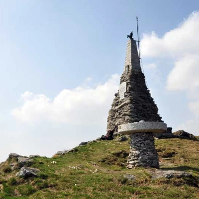
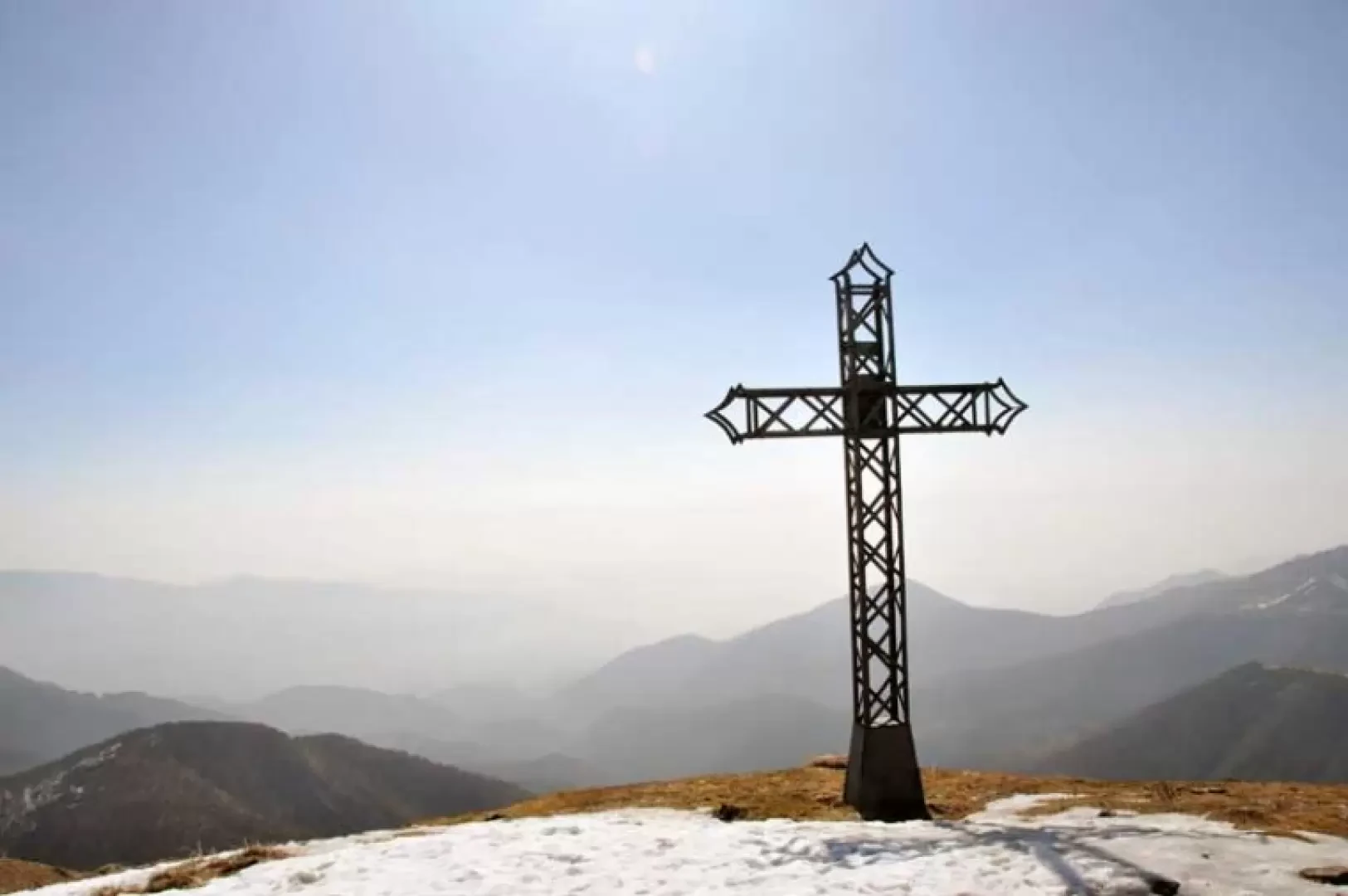
From the car park, go up the tarmac road for a short stretch, passing in front of a chapel and, heading towards the Alpe Camasca huts, which are clearly visible just above, you will come to a fork in the road, which is well signposted; following the signs for Monte Croce, turn left onto the consortium road which passes behind the houses and, with an almost level route, go through a sparse beech wood to reach Co di Stobj (1271 m). The signposts tell us to continue to the left and, after another short stretch on the dirt track, we arrive at Bocchetta di Foglia (1280 m), at the crossroads of which we take the wide wooded ridge that rises to the right. Following the red and white marks, you quickly gain height with the slope becoming much steeper and you pass the first crossroads marked by signs (1345 m), keeping to the left to reach some rocky outcrops that you pass either directly or to the right; leaving the vegetation, you come to a second crossroads, also well marked by signs (1468 m), at which you turn left and continue along the path that climbs the final part of the panoramic ridge, at the end of which you can see the summit cross, which you soon reach. Returning to Co di Stobj, the signposts tell us to continue straight on, not on the dirt track closed off by a bar, but on the easy ridge that, with visible red and white marks, leads to a wide clearing, which we cross to enter the little wood again. After continuing with a few ups and downs, we pass the Bocchetta della Luera crossroads (1319 m), well signposted by the poles, ignoring the path that descends to the right and, continuing straight on, we come to another crossroads (1364 m) at which, once again, we continue along the wide ridge, arriving shortly at the panoramic peak, which is surmounted by a high memorial stone commemorating those who fell in the mountains and a granite table with the wind rose engraved on it. For the return journey, reach the Bocchetta della Luera again and from here take the path indicated by the poles that descends to the left and, after a traverse on the hillside, goes down past a panoramic hut and from here, along a road, you reach the chapel and the car park below again.
