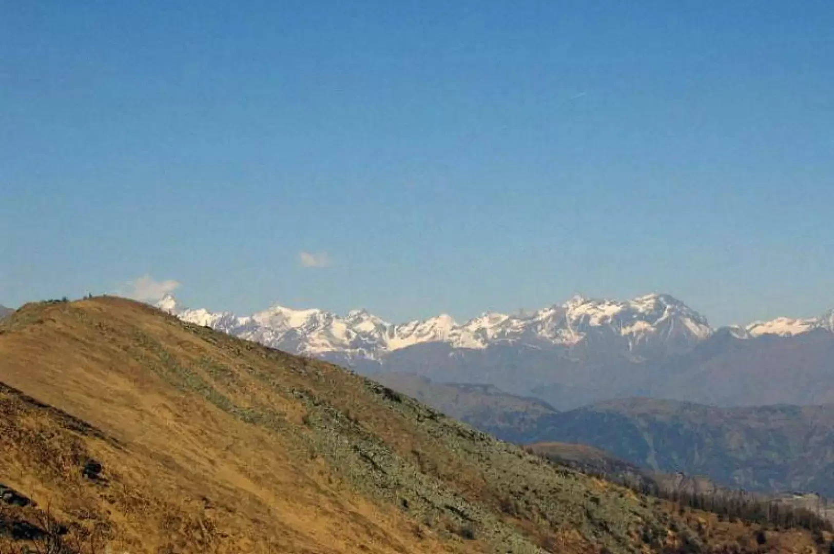
Mount Cristetto

Description
Leave the car and follow the dirt road, at the first fork take a left (B&B and "Quota 1000" signs) and go past the B&B. Continuing on, at the next fork you will find CAI signpost #1, which will guide you to your destination, and take a right following for Prese Franza, which you will reach after a short time. If you wish, you can arrive here by car, thus saving a 5-10 minute walk. At Prese Franza you will find signs indicating the Colle dell'Asino and the Colle del Besso as well as trail marker #1. From here, the trail continues through a beautiful beech forest, circumventing Monte Turo; as you change slope, you cross birch forests and then larch, pine and fir woods. You slowly rise, remaining just below the ridge, first arriving at Le Crocette, a few huts almost completely destroyed, and then at the fork with CAI path #2 coming from Pontetto and Prese Damon; however, continue on path #1 following for Colle del Besso. A few metres after the crossroads, you arrive at the Colle dell'Asino, from which you have a good view of the Colle del Besso and Monte Cristetto on the left. Continuing on we come to a spring that is not very visible because it is situated lower than the path; just before the pass there is another spring with a typical bath used to collect water. At the pass, an information board provides us with some historical information. From the pass we climb directly up the ridge following easy and clearly visible tracks, until we reach the summit from which there is an excellent view of Giaveno, the Avigliana lakes, the Turin plain, Monviso and the peaks of the lower Susa valley as far as Rocciamelone (see photo). Descent along the ascent route.
.