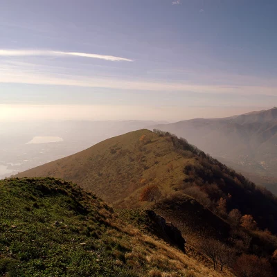
Monte Cornizzolo, from Carella
Access
From Milan to Erba, where - at the large roundabout before entering the city - you turn right onto the Como-Lecco road, to be followed until the traffic lights at Cesana Brianza, which directs you left towards Canzo. A few kilometres of panoramic ascent over the Brianza lakes and you arrive in Eupilio. Look for a car park in the Carella hamlet.
.Introduction
Easy hike, but long and tiring due to the loss of altitude and the ascent that the return route imposes. Despite the notoriety (and frequentation) of the summit, the paths chosen are very lonely, seemingly - but illusorily - far removed from the industrialised landscape that lies at the foot of these heights.
Description
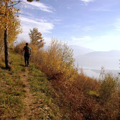
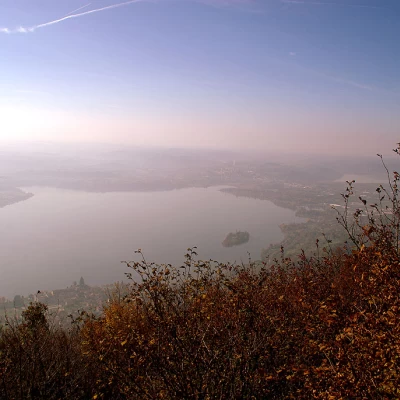
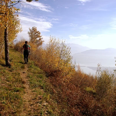
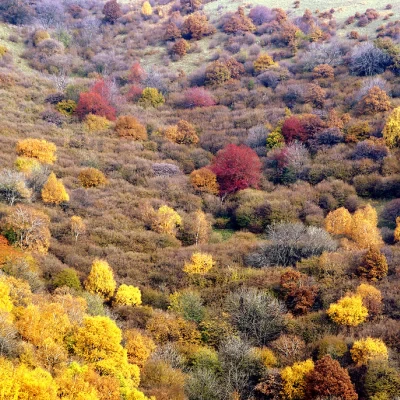
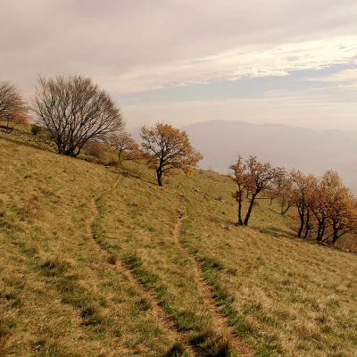
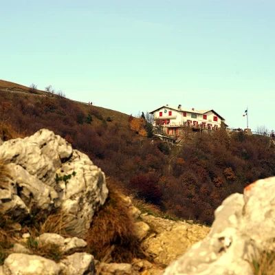
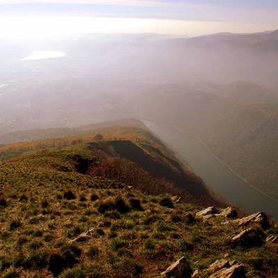
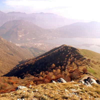
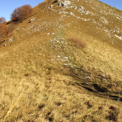
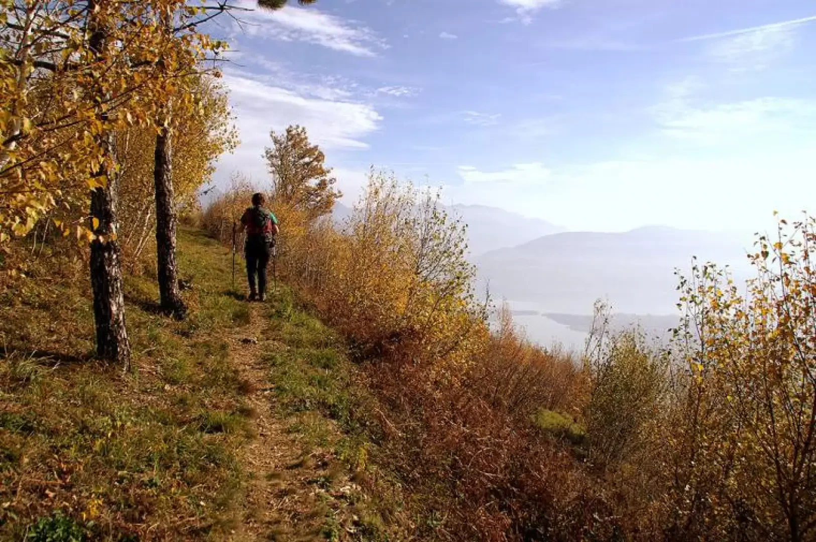
From the hamlet of Carella, uphill, following the paint markings, take the cobbled track that climbs among cottages and vegetable gardens to Cascina Càmpora 590m; cross the carriage road - a little further on barred to traffic - that leads to the foot of Cornizzolo, and you will soon reach Alpe di Carella 660m (car parks, holiday farms and farms). Once past the aforementioned barrier to private traffic, follow the asphalt road for a few hundred metres, then, at the first hairpin bend, descend to the right into the bush on an unmarked path. From here, the route begins a very long, slightly uphill traverse that follows the folds of the mountain: still in view of the lakes, it passes above the Cesana Quarry (source of limestone and marl for the Merone cement factory), crosses young birch woods and meadows with traces of old forest fires. At the height of the village of Suello, at about 1000 m altitude, we join a stony path coming from Prièll (locality of Suello): we are at Prà Piòtt, among limestone formations and sparse beech trees twisted by the wind. On clear and airy days throughout the year, it is normal to witness, on a ridge parallel to that of our route, the take-offs of paragliders and hang-gliders: it is a flying field that has in the past hosted competitions and international championships of various specialities. From Prà Piòtt, we continue up the wide ridge path towards the visible Monte Cornizzolo. Once again, cross the carriage road (which shortly after ends at the Rifugio SEC Consiglieri 1110m) and climb up the opposite, rocky, steep slope until you reach the base of the summit cross of Monte Cornizzolo 1240m. The panorama, in addition to the usual lakes to the south, extends in the other directions: immediately below us to the north we can see the Valassina basin with the villages of Canzo and Asso, but on the horizon we can see as far as Resegone, Grigne, Monte Legnone, Mesolcina, the Oberland, and finally the Matterhorn and Monte Rosa. For the return trip, we descend the steep path of the west-south-west ridge of Cornizzolo, until we climb over the barely perceptible Monte Pèsora 1190m; after a few dozen metres, at a signpost, we turn right along an ill-defined rocky/wooded ridge in the direction of Canzo (north). The path is uncomfortable and tiring in the first part, then enters a damp forest and follows it at length: orientation difficulties at a large clearing, where it seems essential to rely on instinct. At an altitude of about 600m, one must look to the left for a fork (marked as "Senterun") that leads in a southerly direction. Climb the stony mule track in a beautiful mixed deciduous forest, keeping parallel to the valley floor, which in this section is occupied by the dark Segrino Lake. Having reached an altitude of about 750m, the path - with a short section of chain walk - continues its movement in the direction of the meadows (not visible on the way up) of the Alpe di Carella. From here, retrace the ascent path back to the car.
General information
Path:from Carella
Signposts:
Type of route:circular
Recommended period of time:April, May, June, July, August, September, October, November
Sun exposure:southwest
