Mount Corbernas

Edited by:
Giancarlo Beretta
Updated at: 06/10/2024
Introduction
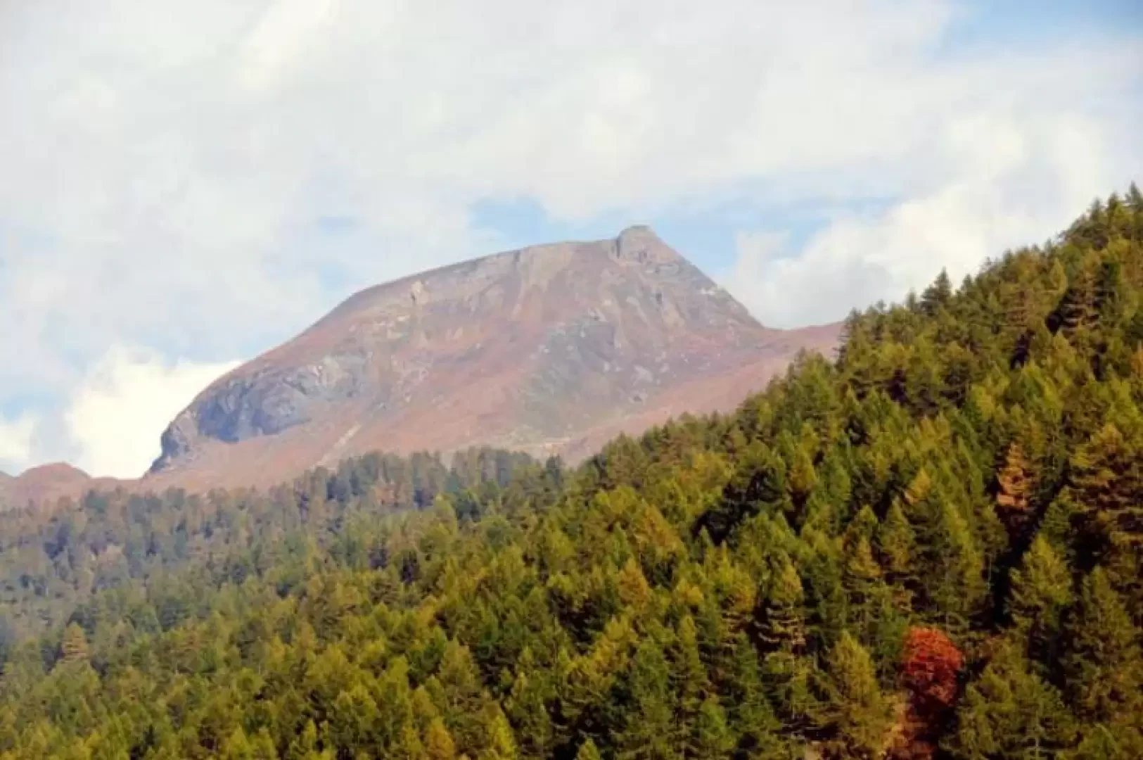
Mount Corbernas is located on the mountain chain that delimits the southern part of the Devero basin, and the excursion takes place right in the Veglia and Devero Natural Park conservation area. The itinerary runs from the characteristic village of Crampiolo to the Sangiatto lakes and the Bocchetta di Scarpìa, which connects the Devero area with the Antigorio valley via the Walser path. The panorama from the summit is splendid over the peaks that surround the Devero basin: the Cervandone, Punta della Rossa, Pizzo Crampiolo and further east the Punta d'Arbola; but it also reaches as far as Mount Leone and the more distant Fletschorn.
Description
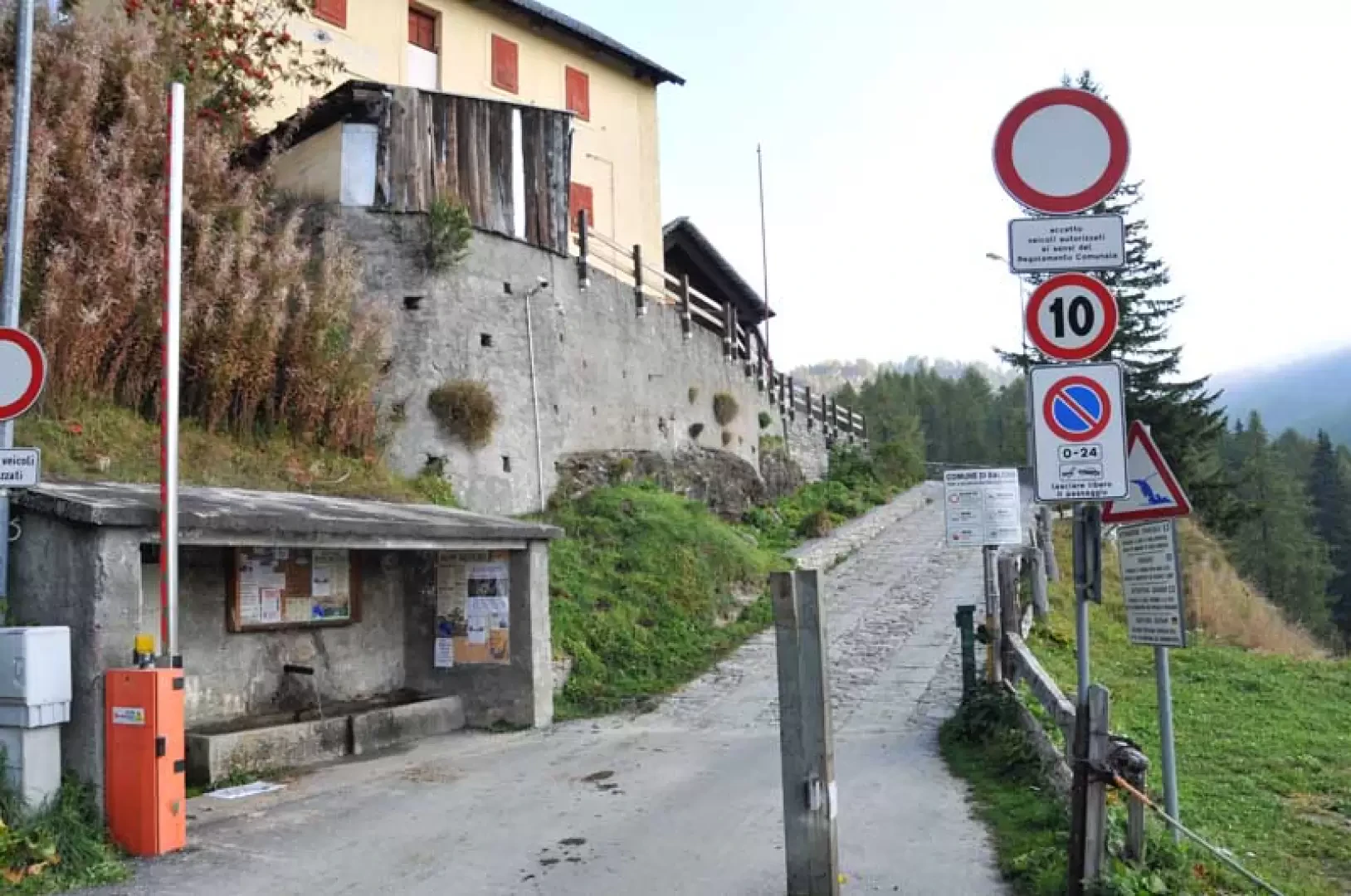
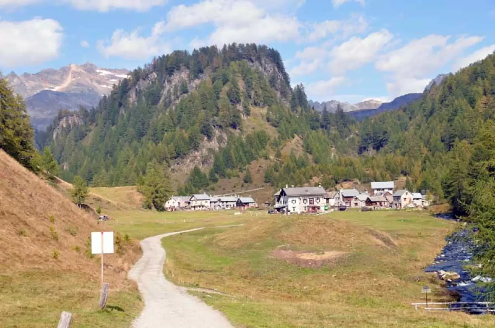
From the car park, take the short asphalted road that starts from a metal barrier and enters among the beautiful huts in the village; continuing along the road that has become unpaved, you immediately come to a fork where you take another road on the right that rises through the coniferous forest, alternating between unpaved and paved stretches. We thus arrive, still on a comfortable mule track, at the small valley where the characteristic village of Crampiolo (1771m) is located. We do not cross it but, as soon as we cross the bridge over the stream, we turn right and take the evident path that rises at the edge of the wood on the left of the huts. Leave the path on the right (1792m, markers) that is immediately above the houses and, just beyond, leave another path on the right (1808m, markers) to rise to the left in the woods with a few hairpin bends and then make a traverse to the right passing next to a peat bog; go up some grassy/rocky bastions and cross a dirt track (1977m) that you follow for a few dozen metres and pass just above the first of the Sangiatto lakes (1993m). Continuing along the dirt track, we soon reach the Sangiatto alp, dominated from afar by the imposing mass of Monte Corbernas; Go past it on the right and, having gone round a low grassy ridge, you come to a post (2058m) that is not far from the other Sangiatto lake and continue to the left, where the slope soon increases, and climb up a grassy little valley that then widens out to reach the wide inlet of Bocchetta di Scarpìa (2250m). From the pass, go up on the left directly to the crest of the grassy ridge, where there are some small stone cairns, and, where the ridge thins out, an evident track appears that goes over an anticima (2450m) and arrives at a fork where, having left another track on the right, continue left towards the most demanding part of the itinerary. Traverse from right to left at a slight slope below the peak, then the track, heading towards a small gully to the left of the rocks, becomes very steep, passes a section of scree and fine debris and then continues on more stable but still very steep terrain to come out, with a few tight bends, at a col from which you soon reach the summit cairn.
Galleria fotografica