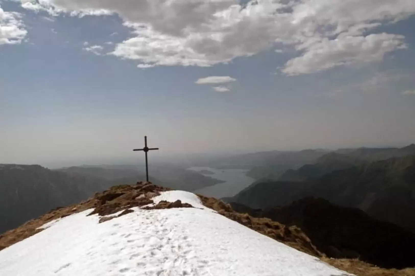
Monte Cerano, from Arzo

Introduction
Excursion suitable for the early season, with a considerable overall height difference over two ridges of this scenic mountain. The slope is almost always quite steep and the path, which is clearly visible in the lower part, is almost non-existent in the upper part (both on the outward and return legs) but at the same time very well signposted both by the paint marks on the stones and by the numerous posts along the route. The panorama is remarkable over nearby Lake Maggiore and Lake Orta and the peaks of Upper Verbano, Val Grande and Monte Rosa.
.Description
From the tarmac road, at a clearly visible marker, the path marked with the number T6 starts off and climbs up among the hazel and beech trees and immediately gains height, passing by some ruins and passing a first fork in the road, at which you turn left; still climbing up through the woods, you arrive at the well-kept Alpe del Cech (860 m) and immediately afterwards you come to another fork in the road, at which, leaving behind the branch-off that continues on the level, you turn right, still following the signs for Monte Cerano. We pass the Alpe del Dino (900 m) and now climb laboriously up a steep wooded rib that has a few short passages where we must pay a little attention. After passing another crossroads, the slope decreases a little and we reach the ruins of Alpe Colla (1576 m), beyond which we reach, just above, the clearly visible and panoramic chapel of Alpe Minerola, which we soon reach: here it is certainly worth stopping for a moment to enjoy the view from this post. Now the path almost completely disappears, but following the numerous signs, one continues without any danger of straying. You then climb a steep section where, having passed a high metal cross, at its end you come to a wide ridge that leads directly to the summit. Above this is a small post, while the cross is located just below the summit along the ridge descending to the west.
On the descent, follow the edge of the ridge that descends from the cross with some exposed stretches towards the west and after a few ups and downs it descends more decisively until reaching a section that is not very steep; having passed a path that branches off to the left, you come to a clearly visible post at another fork (1470 m) where you turn decisively to the left: here too the path disappears but you follow the paint marks on the stones and the posts along the way. The first section is steep and takes place on a grassy slope (take care if the grass is wet) but as you enter the forest the path is clear and safer and continues zigzagging through the vegetation passing a couple of other forks. You now pass Alpe Casere Vecchie (1,175 m), Alpe Pianello below, the more distant Alpe le Motte (1,090 m), Alpe Pra della Volta (820 m) and finally Alpe Urcia (717 m); from the latter, leaving first a diversion to the left and then one to the right, you soon reach the tarmac road which you follow to the left and after a few hundred metres you arrive at the starting point.