Monte Caplone and Cima Tombea
Access
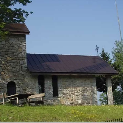
Brescia Ovest exit of the motorway. Continue east along the Tangenziale Sud/SS11 and then onto the SS45 bis/Gardesana Occidentale. Leave the turnoff for Salò on the right and, along the coast of Lake Garda, drive through Gardone Riviera, Fasano, Maderno, Toscolano, Bogliaco and Villa. Shortly after the junction for Gargnano, the road climbs slightly until it meets, on the left, the SP9 for Capovalle-Lake Idro-Magasa-Valvestino. You climb the provincial road with numerous bends, crossing on the right the turning for Musaga and then that for Sasso, Liano, Formaga and Costa. At the latter junction, turn left, still along the SP9, past Navazzo and on towards Valvestino. You skirt the artificial lake of Valvestino and always keep to the right at the forks for Bollone, Capovalle and Turano, finally reaching Magasa (970 m). On the right, follow a narrow tarmac road that leads to Cima Rest. You can park near the Chiesetta degli Alpini, on the left, or proceed for a few hundred metres to the large car park in the village of Cima Rest (1200 m).
Introduction
A classic excursion in the Alto Garda Bresciano Park of great botanical and historical interest. The itinerary leads to the Park's highest elevation, Monte Caplone (1976 m), also known as Cima delle Guardie because, in the past, it marked the border between Italy and Austria.
Description
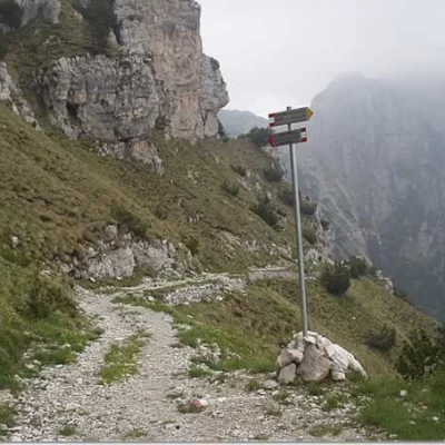
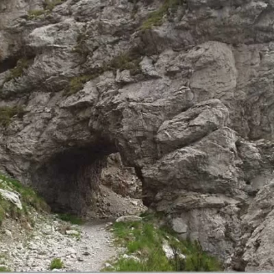
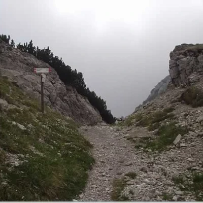
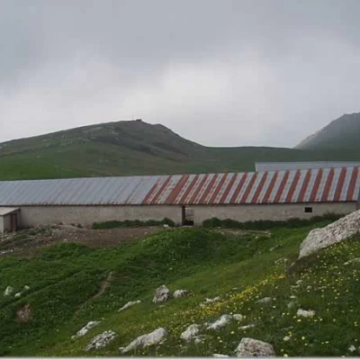
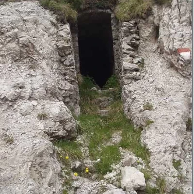
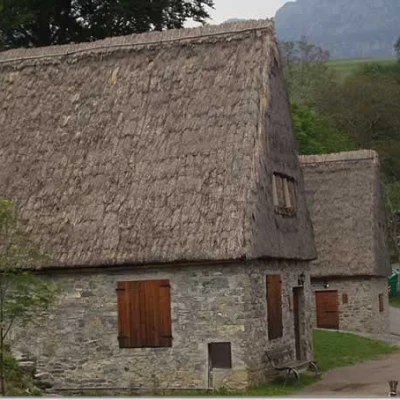
From the Chiesetta degli Alpini (1200m), right in front, take the road with a beaten concrete surface, marker [69], which climbs up between the characteristic huts and barns with sloping roofs made of sheet metal or straw. You pass a group of houses, descend briefly through a beech wood and reach the Malga Alvezza (1280m). A little further on, you cross the dirt track to the left that leads to the Pilasters and, shortly afterwards, leave the mule track to the right for Valle di Campei. Now take the path to the left, marker [66], which, with a long diagonal, crosses the "Selva dal Ponte" in a sparse beech and fir wood. Amidst extensive views of Magasa and the Denai plain, the path then bends northwards and reaches some beautiful pastureland. At approximately 1,780m (1h 40'), you cross the military mule track, marker [69], which connects Bocca di Cablone with Bocca Campei. Follow this mule track to the right between overhanging rock faces, pass a panel illustrating the main characteristics of the endemic species "Saxifraga Tombeanensis", you pass under a short tunnel and reach Bocca Campei (1840 m) (note that the marker post at Bocca Campei indicates an altitude of 1822 m, confusing it with the altitude of the nearby Passo di Tombea (1822 m), which the IGM map and some Kompass maps erroneously indicate as Bocca Campei). We now leave the mule track that descends towards Bocca Lorina and take a steep path to the right, signposted Segnavia No. 69, which among grass and rocks leads to the summit of Monte Caplone (1976 m; +40 m; 2h20').
From the summit, there is a fine panorama of Valvestino, Monte Tremalzo, the Adamello, Presanella and Brenta groups.
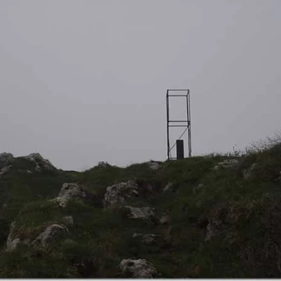
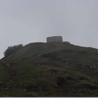
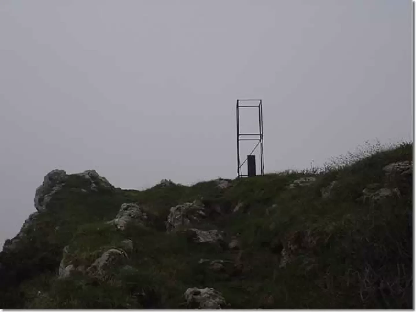
We now return to Bocca Campei and the crossroads at an altitude of 1780 m (+30 m; 2h50') and continue westwards to Malga Tombea (1820 m). A path branches off to the right and, with twists and turns and long diagonals, leads to Cima Tombea (1950 m; +25 m; 3h15'). On the summit, there is a large stone signalling ring of the main surrounding peaks with relative indications of the directions of observation: Monte Tremalzo, Adamello, Monte Rosa Group, etc.
To the south, on the other hand, the meadowy basin limited by Dosso delle Saette (1879 m) is clearly visible. Nearby there is also a pond that is the subject of an ancient legend. It is said, in fact, that these beautiful meadows have always been the subject of bitter disputes and quarrels between the shepherds of the municipalities of Valvestino and Storo. One day a shepherd from Storo, known as Spaccafumo, filled his boots with earth collected from a field in Storo and took his sheep to graze in these meadows. Stopped by the shepherds of Valvestino, he swore to put his feet in the soil of Storo but, immediately, a bottomless abyss formed at his feet and swallowed him. The sheep, however, remained mummified and were, in time, covered by earth and grass. The pond surrounded by grass-covered mounds of earth remains as evidence of this legend.
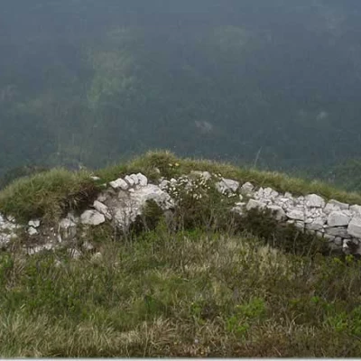
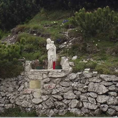
The descent can be made along the grassy ridge to the west. During the descent to the dirt road, military caves from the First World War of 1915-'18 can be found. When you reach the dirt road, signpost No. 67, continue westwards along the meadows of Dosso delle Saette. In a short time, we come to a diversion to the right indicating the Fortifications (19th century) of the Austro-Hungarian Empire (it is interesting to have a look at these remains) and, still proceeding on the dirt track, again passing by caves and machine-gun emplacements in caves, we come to the Bocca di Cablone (1755 m; +45 m; 4h00'), where there is a Madonna and Child.
You continue on the dirt track, signpost No. 67, which heads south, leaving the one that descends to Bondone and Lago d'Idro to the right. Go through two beautiful beech woods, passing by the barns of the Cordeter locality until you cross, on the left, at the Pilaster locality (1300 m approx.; +55 m; 4h55'), the dirt track, signpost No. 67, which takes you back, after crossing the Grune meadows, to the ascent route, just above the Malga Alvezza. Turn right and descend again to the Chiesetta degli Alpini (1200 m; +45 m; 5h40').
General Information
Trail:
Signposts:69, 66, 67, 69
Trail type:partially circular
Recommended period: March, April, May, June, July, August, September, October
Sun exposure:east
Objective hazard:
Exposed sections:
Useful equipment:
Water:
