Mount Darkness
Introduction
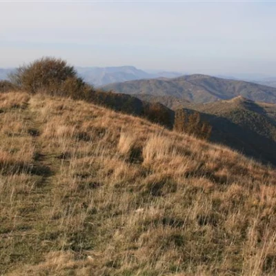
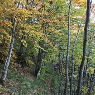
Simple and beautiful tour through a beautiful beech forest reaching Monte Buio, a peak that rises not far from Monte Antola, an area particularly dear to the Ligurians. The development is horseshoe-shaped, with a descent longer than the ascent. At least two cars are needed.
Description
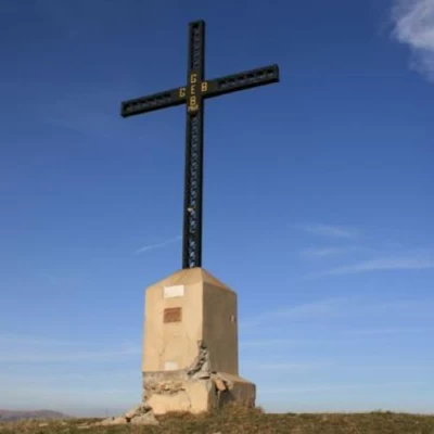
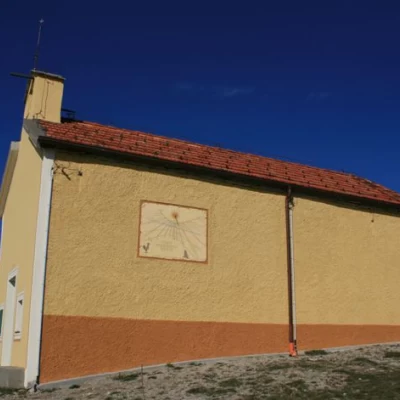
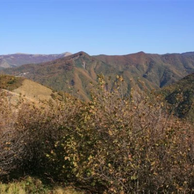
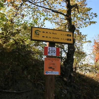
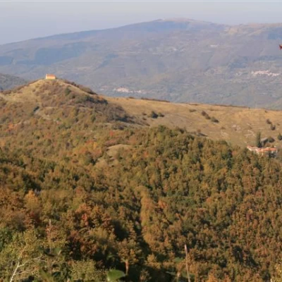
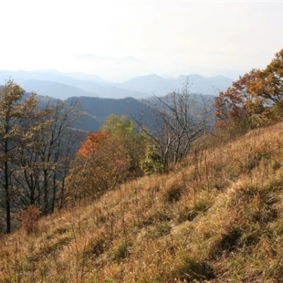
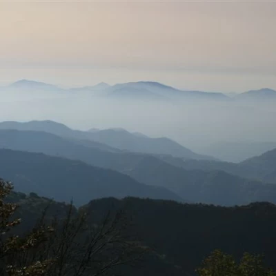
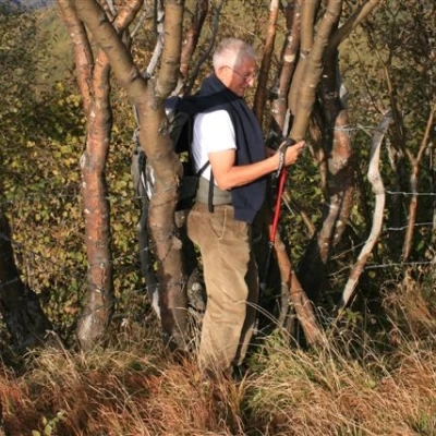
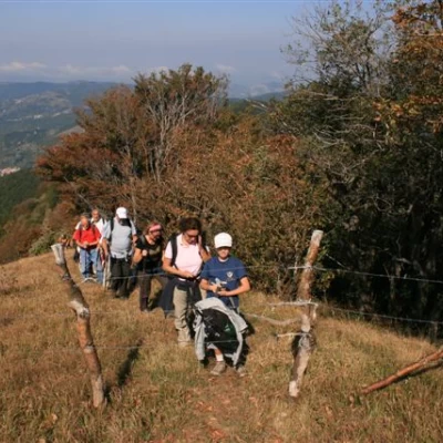
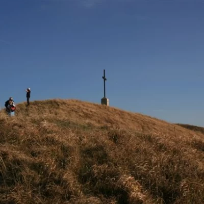
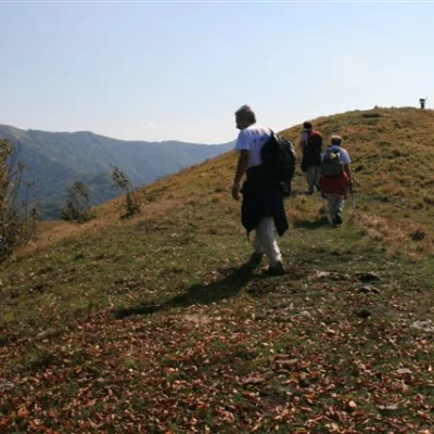
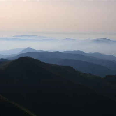
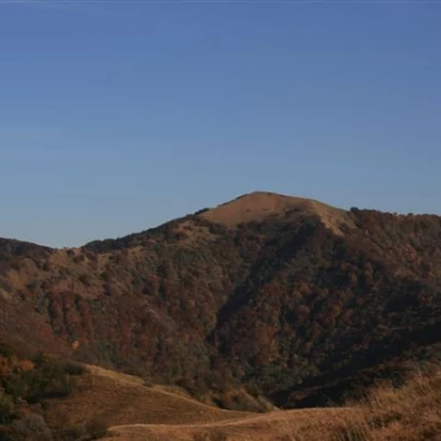
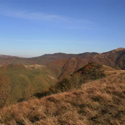
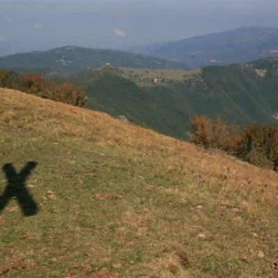
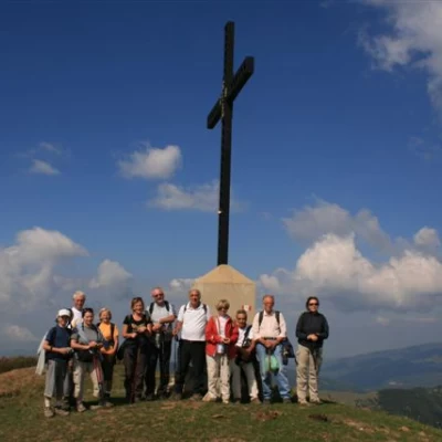
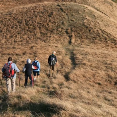
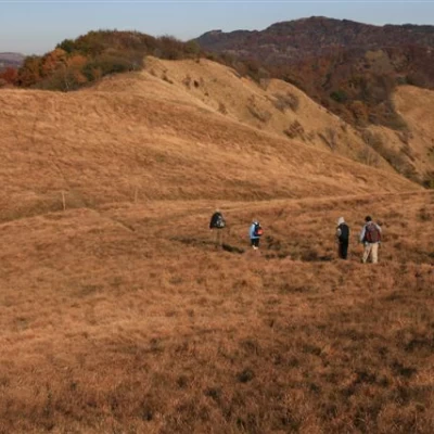
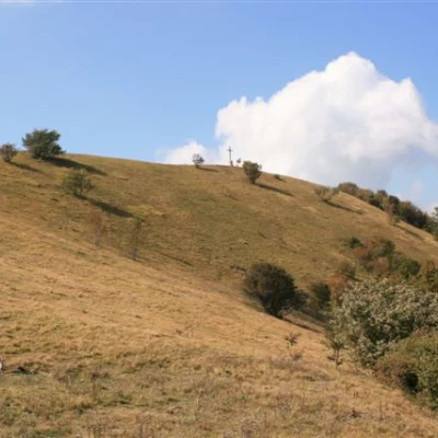
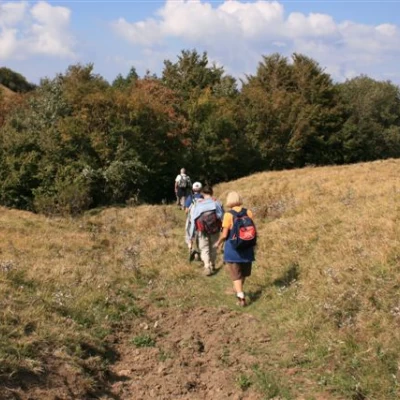
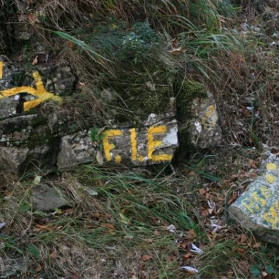
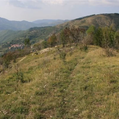
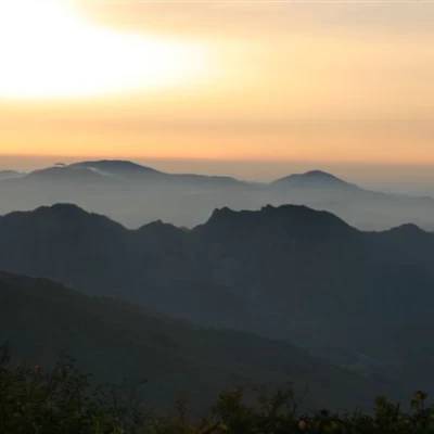
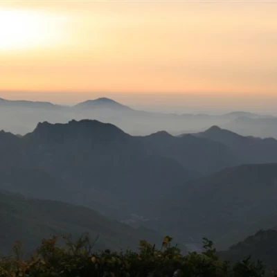
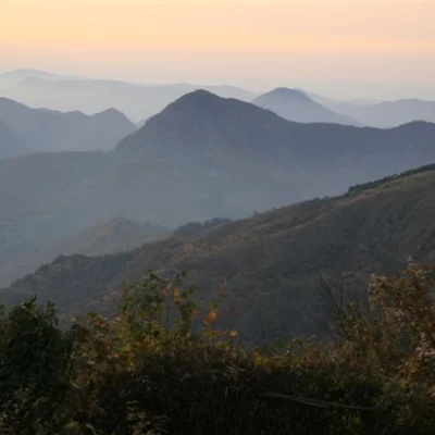
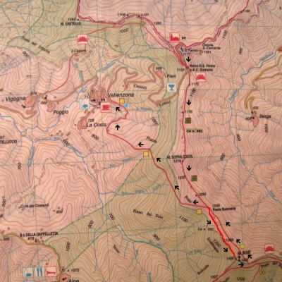
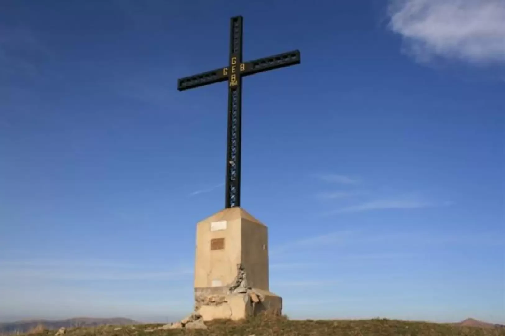
In no time at all, you reach the panoramic knoll that houses the chapel of San Fermo (or S. Clemente) at 1177 m (the earliest records of the building date back to 1206 and it was renovated in 2008). The view is beautiful in all directions and with excellent visibility becomes exceptional! Continue down the hill and cross a secondary road. You take (three yellow dots) a dirt road that you then leave, for an obvious track that rises. You climb for a long time, then, after a short loss of altitude, you arrive at the Sesenelle pass (1254 m) from a crossroads. We disregard the FIE signs and climb up the Cai sign (red-white flag no. 200), passing a wooded hump and arriving at the summit of Monte Buio (1400 m), in about 1h 30m. Shortly before the summit, we pass a point closed off by barbed wire (be careful!) The cross on the summit of Buio was placed by the Busalla GEB group and we can see the Antola peak on the left, which is about 1h15m away
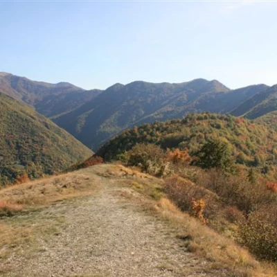
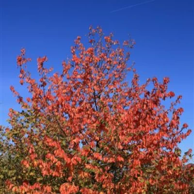
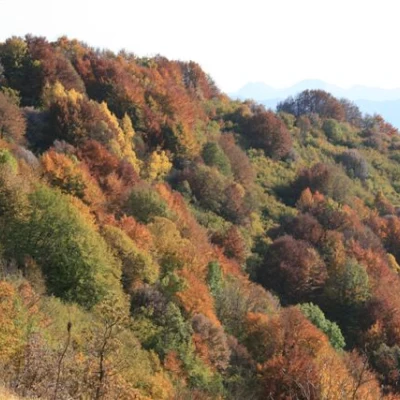
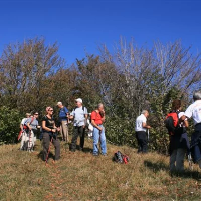
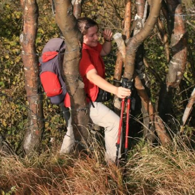
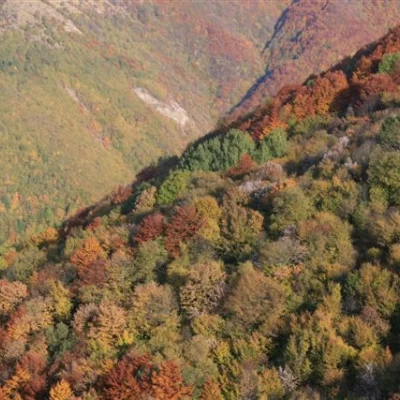
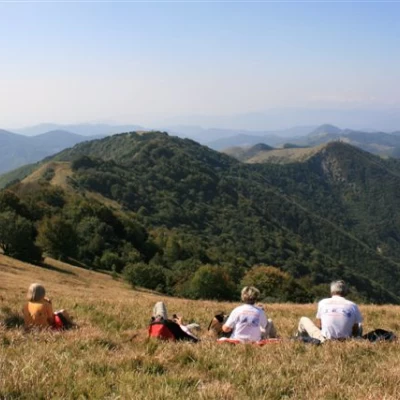
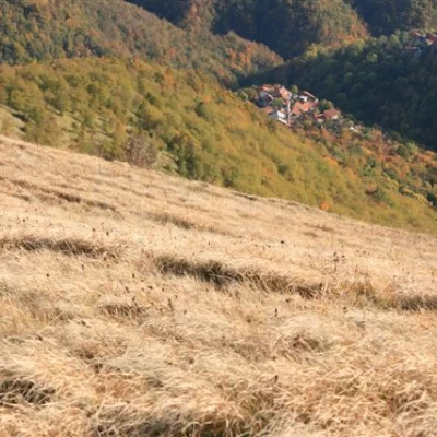
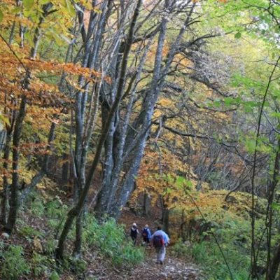
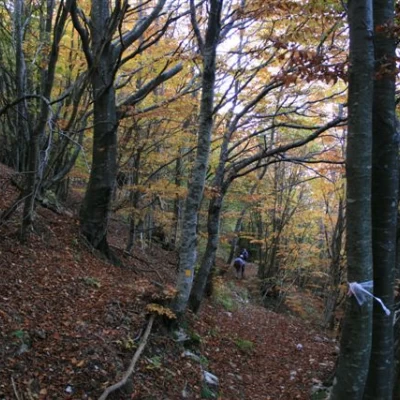
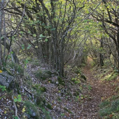
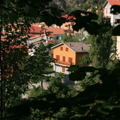
After a break, we set off again with a view of the village of Tonno, one of the many villages in the Brevenna valley. One descends from the cross, keeping to the left, and in a few metres one finds the yellow square FIE signpost that accompanies hikers to Vallenzona, 723m, in about 2h. One thus re-enters the beech forest, which is particularly suggestive in the autumn period. Along the descent, after having reached the Sesenelle pass again, there are several forks in the road and, not always, the one to take is the most obvious, but the route is well marked, thanks to the FIE, and so, without any problems and only with a minimum of attention, you arrive at the village, where you left a vehicle in the morning. From Vallenzona, with the car (or cars) left in the morning, one retrieves the others, at altitude, driving for about ten minutes. Differently, on foot, it is necessary to take on more than 400 metres of difference in height, on asphalt, to return to S. Fermo (or to lose another fifty metres of difference in height and ascend on a path of the Monte Antola park, from the hamlet of Vigogna).
