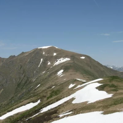
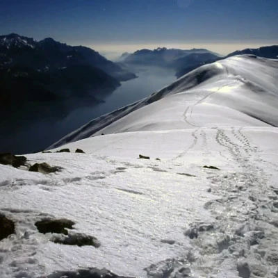
Monte Bregagno, from Monti di Breglia
Access
Highway A9 Como-Chiasso. Como Nord exit. Follow the signs for Cernobbio.
Take the SS340 Statale Regina and follow it all the way along the lake to Menaggio.
Take the SP7 junction following the signs for Plesio - Breglia.
When you get to Breglia park to the right of the church, or continue after the signs towards Monti di Breglia to the end of the road (parking area). This second alternative saves almost 300 m in height difference.
Introduction
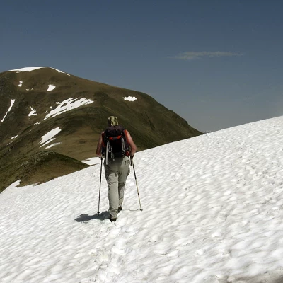
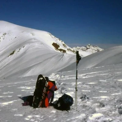
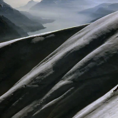
A highly satisfying hike that can be done in both the summer and winter seasons. If carried out in summer, it is best to avoid the warmer months, as the route is almost entirely in the sun. In winter, the excursion, on skis or with snowshoes, offers exceptional views, but should only be carried out when the snow is well bonded, as the traverse from the refuge to the Sant'Amate chapel can become dangerous.
Description
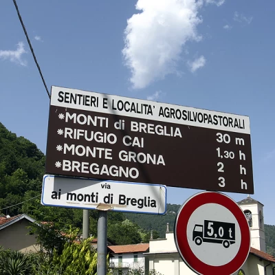
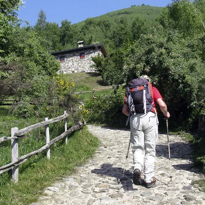
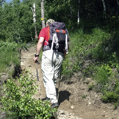
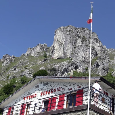
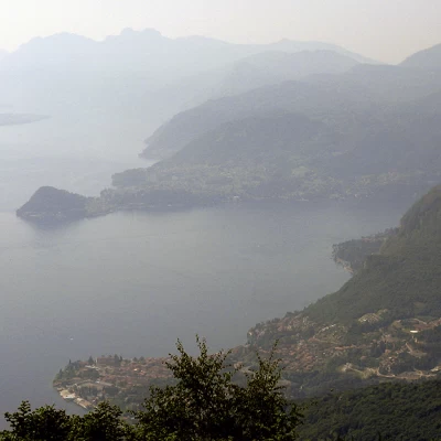
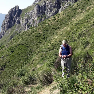
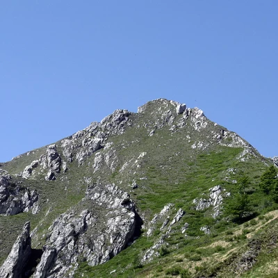
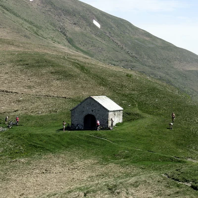
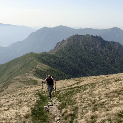
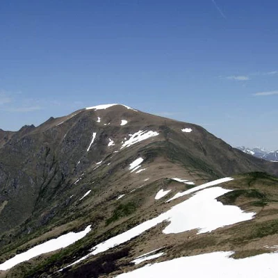
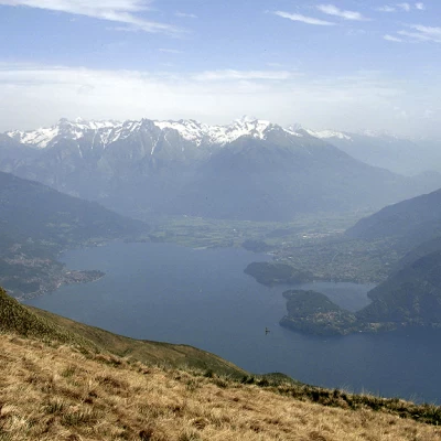
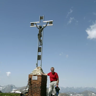
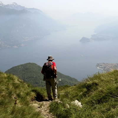
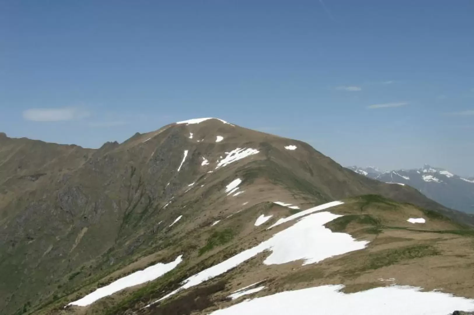
Leaving the car at the car park beside the church in Breglia, take the tarmac road with signposts for the Menaggio refuge, Monti Grona and Bregagno. Immediately to the right is a path that cuts across the hairpin bends of the road and, under a dense wood, leads to Monti di Breglia (996m). The path passes by beautiful buildings and comes out onto a cart track, which is soon left to take a path to the left, near a rest area with a fountain, indicating the Menaggio hut. Continuing along the path, you come to the turnoff for the "low path", which is currently inaccessible due to construction work. Follow the signpost for the "high path" and, still climbing up through the birch forest and undergrowth of ferns and broom, you arrive with several hairpin bends at the deviation with indications for the hut (on the left) and for Monte Bregagno (on the right). Follow the narrow path that leads level to the Menaggio hut (1400m), located on an enchanting natural terrace at the foot of Monte Grona with a superb view of Lake Como. After refuelling with water, climb up a steep little path behind the hut, following the signs for 'Monte Grona per la Forcoletta'. The path now becomes less steep but exposed, amidst gorse bushes and stretches that are a little steep. Two zigzags and you reach the Forcoletta, from where a panorama opens up over the wild peaks and valleys of the Larian mountains, as far as the nearby Swiss peaks. On the right, a little further down, you can see the chapel of Sant'Amate (1623m) resting on a saddle. Nearby is a spring of very fresh water, with which one can refresh oneself. In front of the chapel, you can see the path that leads to the summit of Monte Grona on the ridge. Continuing behind the chapel along a grassy ridge, which becomes steeper and steeper, one reaches the summit of Bregagnino, where there is a small stone cairn. From here, a wonderful panorama opens up over the Lario and the Chiavenna Valley. We now descend the anticima to reach a saddle and, continuing along the comfortable ridge, after two more ups and downs, the last uphill section begins, leading to the summit of Monte Bregagno, on which a cross with Christ is placed. The descent is along the uphill route to the chapel of Sant'Amate. Nearby, on the left, signposted by an iron pole, the path descends first zigzagging and then halfway up the slope, somewhat exposed, leading to the confluence with the one for the Menaggio refuge. In less than half an hour, the Breglia car park is reached.
Galleria fotografica
We have been there
Monte Bregagno
Bellissima escursione con panorama meraviglioso sul Lago di Como e sulle cime circostanti, una delle più belle in assoluto attorno al Lario. Per godere appieno della gita al Corno di Bregagno occorrono pertanto condizioni atmosferiche assolutamente terse. A seconda della situazione, la si potrà percorrere a piedi, con le racchette o con gli sci e comunque in ogni stagione. Nel traverso per arrivare alla Sella di Sant'Amate occorre attenzione con neve instabile (pericolo valanghe) o ghiacciata (pendii ripidi).
Posteggiata al meglio l'auto (i posti sono limitati) si prosegue a piedi lungo la mulattiera per il rifugio Menaggio al Grona; ad un primo bivio si prende a destra per il "sentiero alto"; ad un altro bivio (quota 130 m) si prende il sentiero di destra (indicazione Sant'Amate) che, in vicinanza di un traliccio, sale direttamente sul costone che scenda dal crinale del Bregagno fino ad un intaglio; da qui, con un lungo traverso, si giunge al colle e alla chiesetta di Sant'Amate situata sul costone spartiacque del Bregagno. Si risale ora senza problemi di orientamento questo costone in direzione N giungendo alla quota 1905. Si divalla leggermente sul fianco opposto e poi si risale nuovamente l'ampia china che conduce in vetta al Bregagno, sempre con viste splendide su tutto il percorso.
