Mount Bisbino
Access
From Milan to Como on the autostrada dei Laghi; then on to Cernobbio on a practically urban route. In Cernobbio, in the centre, look for the signs for "Rovenna" and "Monte Bisbino": they are well hidden. Once you find them, follow them, trying not to get lost in the various anonymous forks; the route, easily asphalted but steep and narrow, runs for a long time along the wooded sides of the mountain, then arrives at a summit forecourt, where you can park (inconvenient on public holidays).
Introduction
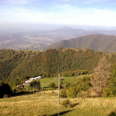
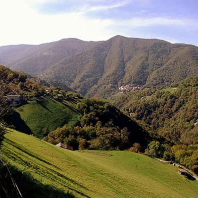
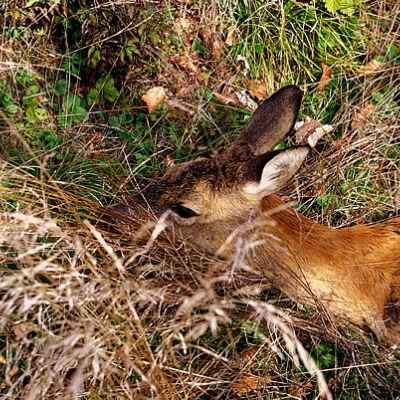
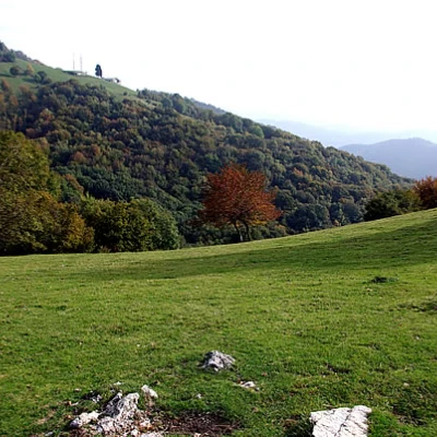
The hike starts at the highest point, then reaches the lowest altitude on Swiss territory, losing height very gradually. Very dark forests, sometimes with difficulty in orientation, are encountered on the Italian side, while the Swiss side is more scenic and bright. It is more likely to encounter roe deer than humans.
.Description
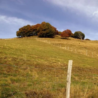
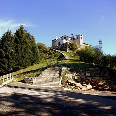
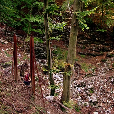
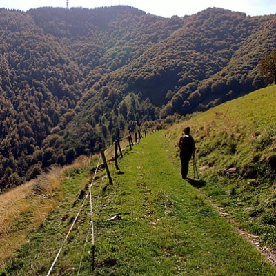
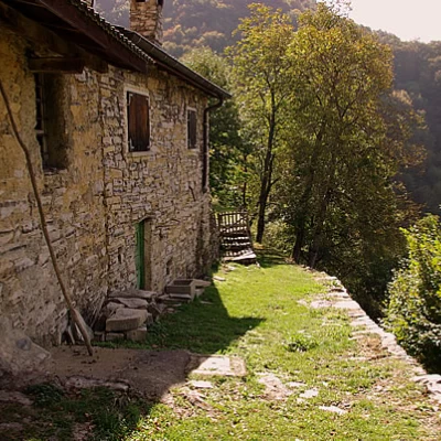
From the parking area (there is an Air Force tunnel post - in disuse - nearby), go back along the last stretch of tarmac road you have just taken as far as the hairpin bend, where you descend to join a mule track that leads off along the wide ridge to a building under restoration. A little below, at a crossroads, follow the signs for the Rifugio del Bugone at Colma del Bugone 1110 m: this is a freshly restored carriageway that was once used to connect the barracks of the Guardia di Finanza, now handed over to the CAI and converted into shelters. A few metres past the Rifugio del Bugone, we look to the left for a small path that crosses the beech wood, losing altitude in places: it is a problematic stretch, the dry leaves camouflage the modest track and we must continue in the right direction, orienting ourselves with a map. Peering through the foliage of the beech trees, one must try to sight the clearing of Alpe Alveggia to the north-northwest, which cannot be reached, but announces the presence of a track, which must be followed to the left, until it ends in a path. The path, muddy and sloping towards the valley, follows the mountain profile between small valleys and wooded ridges; one passes a rusty gate that marked the state border, near a landslide stream with fragments of boundary stones collected by the floods along the way. We soon arrive at the rural buildings of Alpe Loasa or Lovasa (968m), a kind of refuge self-managed by guests; near the remains of a nevera is access to a path that, at the base of the Alpe meadows, starts to cross the ridge that separates us from the Valle della Crotta. The wide, well-maintained and signposted path descends through chestnut woods to Albèra - a small, semi-abandoned hamlet - and then to a carriage road at the bottom of the valley that leads to Bruzella 620m. From here, we begin to climb again and, from near the little church of Madonna della Zocca 720m, we enter the light forest in narrow hairpin bends, ignoring the signs other than for "Sella Cavazza". The chestnut trees are replaced by birches: the first clearing corresponds to the Sella Cavazza (1160m). We continue practically level until just beyond Alpe Cavazza, then abruptly climb the slope along the remains of the border reticulate; we flank the ruins of a small barracks, return to Italy and, along a ridge with fir trees, reach the true summit of Monte Bisbino (1325m) with a shrine and many antennas and repeaters. The descent down the steps of the church leads back to the car in a few minutes.
