Mount Bertrand , from Giairetto
Description
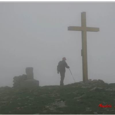
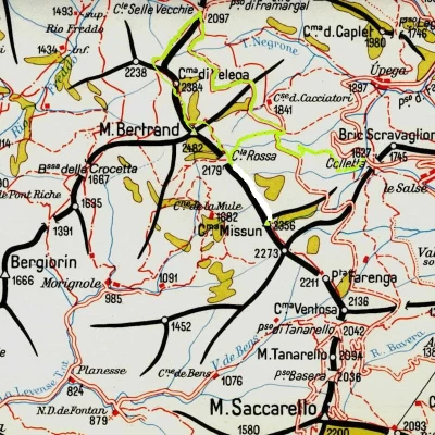
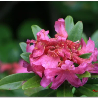
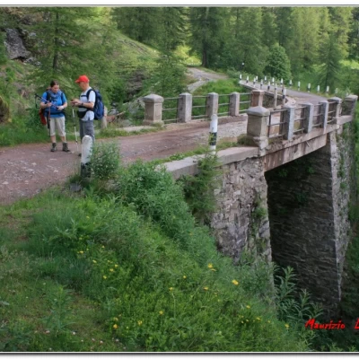
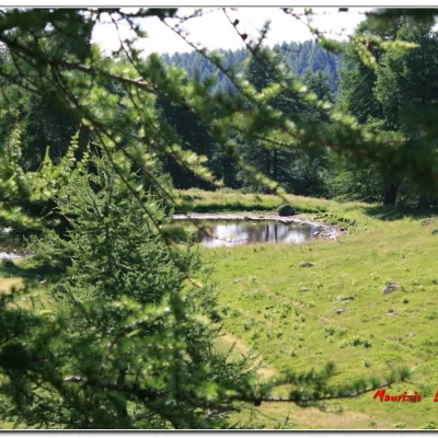
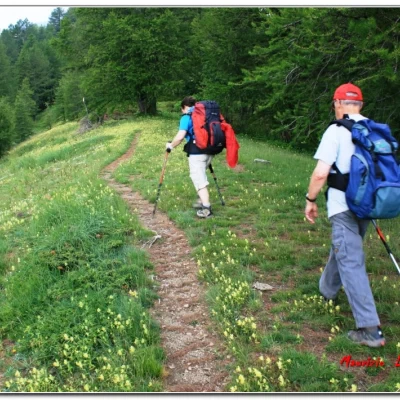
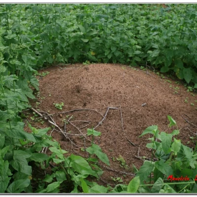
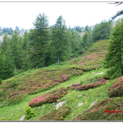
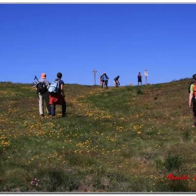
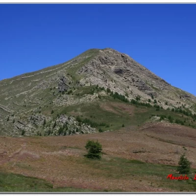
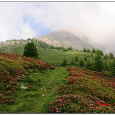
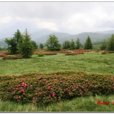
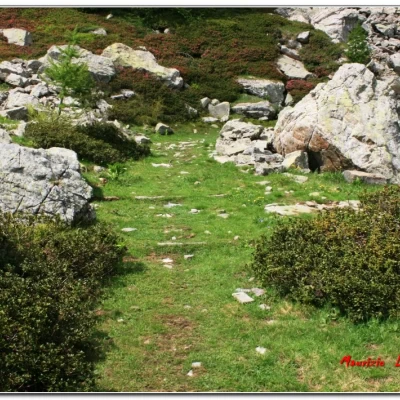
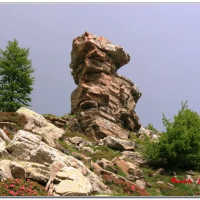
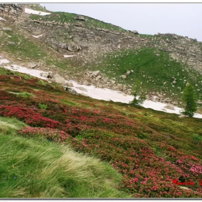
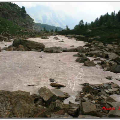
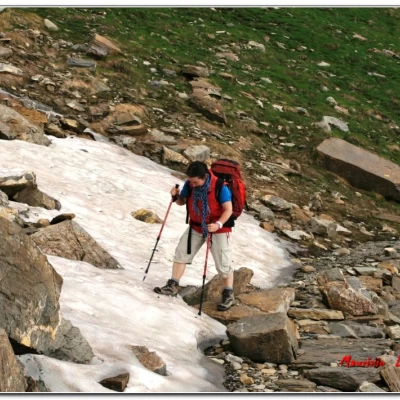
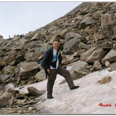
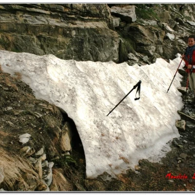
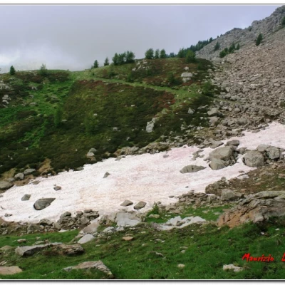
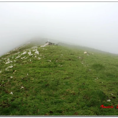
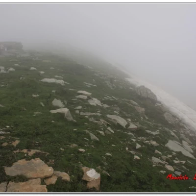
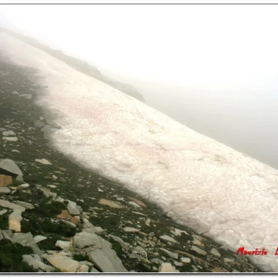
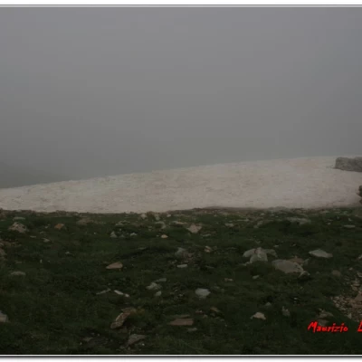
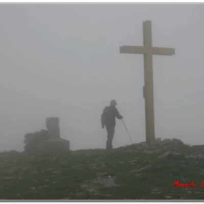
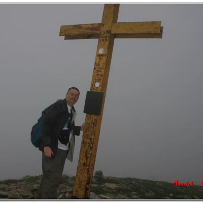
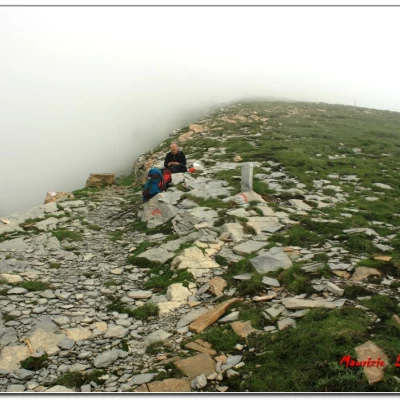
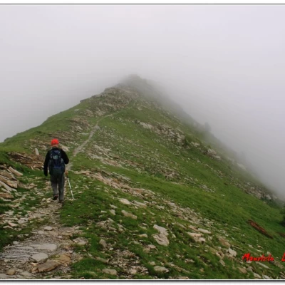
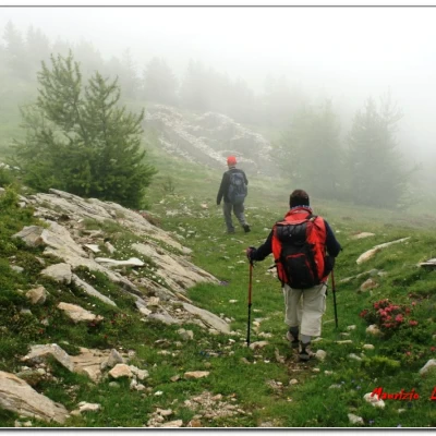
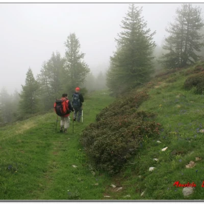
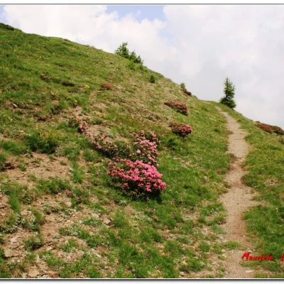
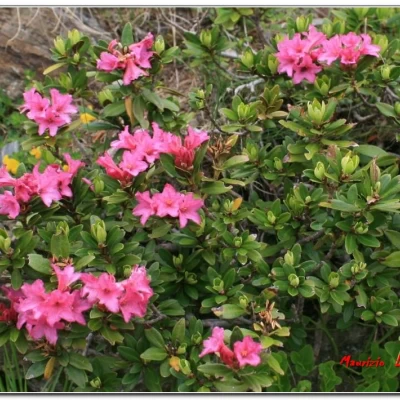
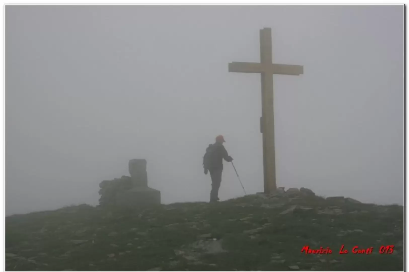
We start at the Giairetto picnic area (approx. 1600 m), after Upega. We ascend a rough dirt road, through the Bosco delle Navette (Navette Wood) with a vast expanse of larch trees, once used for building the ships of the Genoese republic. Then, after almost an hour (at an altitude of 1900), you cross the unpaved (ex-military) Monesi Colle di Tenda road. Turn right and in about 5 min. you will find a panoramic viewpoint over the Ligurian Alps (from Marguareis to Pizzo d'Ormea). In 30' in all, from the crossroads, you arrive at Poggio Lagone 1980 m (small lake on the lower right). The signposts provide information on the various destinations and you turn left, climbing up the wooded ridge on a small path, which is not obvious at first (without signs you probably wouldn't even be able to see it). In a few metres, the forest is established and the path is a little more visible. A huge nest of ants stands out among the wild spinach. Once the trees are gone, however, the path disappears and with a little bit of intuition, among the rhododendrons, you continue slowly straight ahead until you find a faint trace. To help, there is the fact that the point of arrival is the pass, which is clearly visible (very different if one were to do it downhill because one would have to thread one's way through the woods without precise reference points; difficult for those who do not know the area well. . .). The Colla Rossa is above (in front and higher up) and, with a final traverse to the left, one first notices the remains of a farmhouse and then the various pass markers (very careful in this stretch - 2180 m - 1h); all the surrounding terrain is of red rocks and flakes, from which one can guess the origin of the name. You are among patches of rhododendrons, islands of nature among green meadows. For the Bertrand, one keeps to the right (signs) on a mule track that runs along the eastern slope of the mountain, again among a sea of rhododendrons, passing some landslide blocks. You can see Bertrand in the background, among the clouds, as you retrace the wide mule track called the cannon road. There is a lot of snow around (July 2013), sometimes very icy. You gain height more decisively and reach a panoramic ridge with boundary markers. For the summit cross (but no signposts!), turn left, almost 360 degrees, to the 2482 m high summit (1h - 1h15'). Retracing your steps (5'), continue, now downhill, touching on Cima di Velega. One continues to descend and by the remains of a building the path suddenly turns right. The new borders were drawn in 1947 and the peace treaty, in addition to causing Italy to lose several portions of territory to the French, also meant that the ridge border was always shifted so that the ridge was French. . It should be noted that throughout the day there was a lot of fog, but in the end not a single drop of water was caught, lucky us. . . it must be said. After the Col del Vescovo, we regain a few metres of altitude and then descend towards the Col delle Selle Vecchie (2098 m; 1h - 1h15'). Here, immediately below on the right, you find the unpaved road (ex-military) Monesi-Colle di Tenda, which you follow to the right until you reach the morning crossroads again (1h50'). From there, you descend to the car park (35'). If the weather had been good, there was also another remunerative alternative (having two cars available and leaving the first one at Carnino): continue along the ridge path to the Don Barbera managed refuge (50') and then down the valley to Carnino (2h), where with one of the cars still there you could retrieve the one beyond Upega (TIME RECEIVED from other sources and not personally tested. . .). This hypothesis was a little longer (about 30' more) but very interesting, because it avoided the Monesi dirt road and allowed a visit to the recent park structure, but given the bad weather and the ever-present risk of rain (although in the end we escaped it) we opted for the choice that gave more peace of mind, in case of water. . . The entire route, apart from a few brief exceptions (be careful!) follows a broad, unambiguous track, which compensates for the scarcity of symbols (diff. E well-trained and already familiar with the area) 3h15 - 3h45 round trip and the same on the return for the entire ring, almost 900 metres in height difference. The best time of year is June, when the flowers are in bloom, and autumn, because you are passing through considerable woodland; better not at weekends, because the Monesi-Colle di Tenda dirt track can be used by off-road vehicles and motorbikes (limited discomfort, however). PS: the times are calculated without the stops, but taking into account the mini-breaks present on an excursion (photos, for example). So they may seem a bit exaggerated, but personally, when I walk, I stop a lot to look around at what you are going through. . . if you want some photos at http://www.cralgalliera.altervista.org/anno2013.htm at the two corresponding links NB: in the case of an excursion, always check with FIE, Cai, any park authorities or other institutions, pro loco, etc., that there have been no changes that have increased the difficulty! No liability is accepted. This text is purely indicative and not exhaustive.
.Info for some other trips in the area are available at the links below: http://escursionismogalliera.xoom.it/articoli/escursionismomar07.pdf pag. 3 di http://escursionismogalliera.xoom.it/idea/02.pdf pag. 7 di http://escursionismogalliera.xoom.it/idea/05.pdf pag. 3 di http://escursionismogalliera.xoom.it/idea/09.pdf pag. 1 di http://www.cralgalliera.altervista.org/29.pdf http://www.inalto.org/relazioni/escursionismo/lungo_il_rio_tanarello http://www.inalto.org/relazioni/escursionismo/rifugio_ciarlo-bossi http://www.inalto.org/relazioni/escursionismo/la_cappella_di_san_bernardo Some photos of trips in the Tanaro valley area: http://xoomer.virgilio.it/cralgalliera/saline.pdf http://xoomer.virgilio.it/cralgalliera/mongioie04.pdf http://xoomer.virgilio.it/cralgalliera/tanaro2005.pdf (Marguareis) http://xoomer.virgilio.it/cralgalliera/fotorifugio06.pdf (Pian Ballaur) http://xoomer.virgilio.it/cralgalliera/rifugio07.pdf (Saccarello) http://cralgalliera.altervista.org/rifugio012A.pdf (Missun) http
