Monte Barillaro, from Persi


Edited by:
Maurizio Loconti
Updated at: 03/09/2024
Access
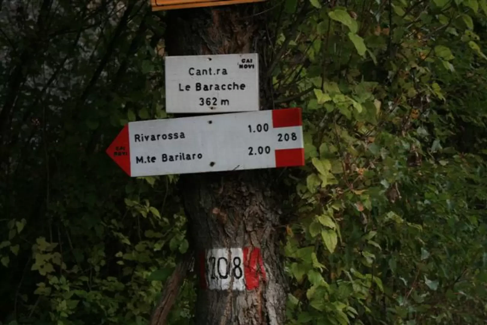
Exit the Genoa-Milan motorway at the Vignole Arquata exit, turning right immediately; drive to the locality of Baracche (a roadside cafe and brewery), discrete parking possibilities, after Persi (Vignole Borbera), Val Borbera provincial road 140, after km 13 (two vehicles are required, one of which must be left in Persi, or drive 3.5 km on asphalt to return to the starting point).
Description
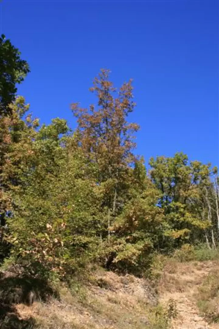
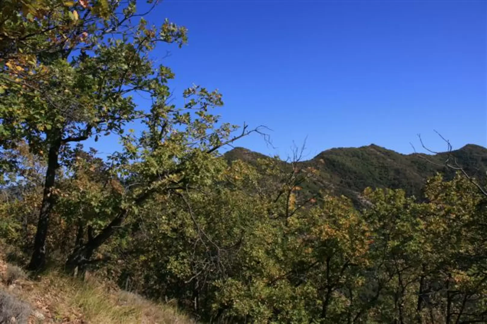
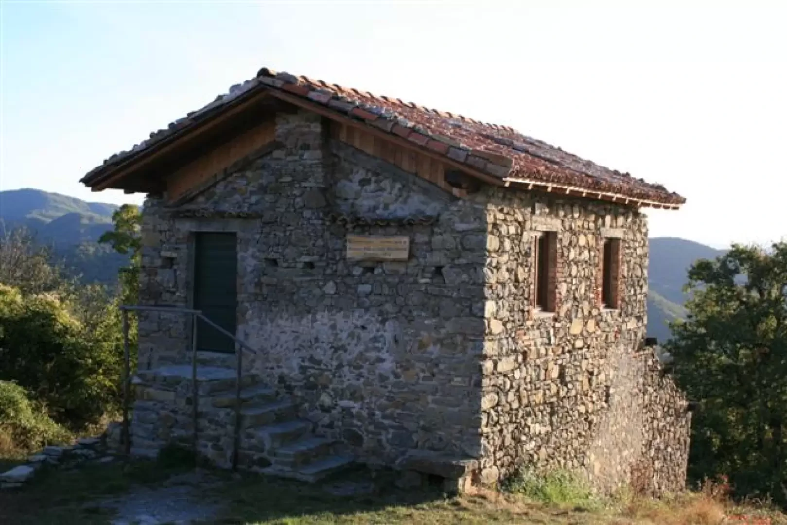
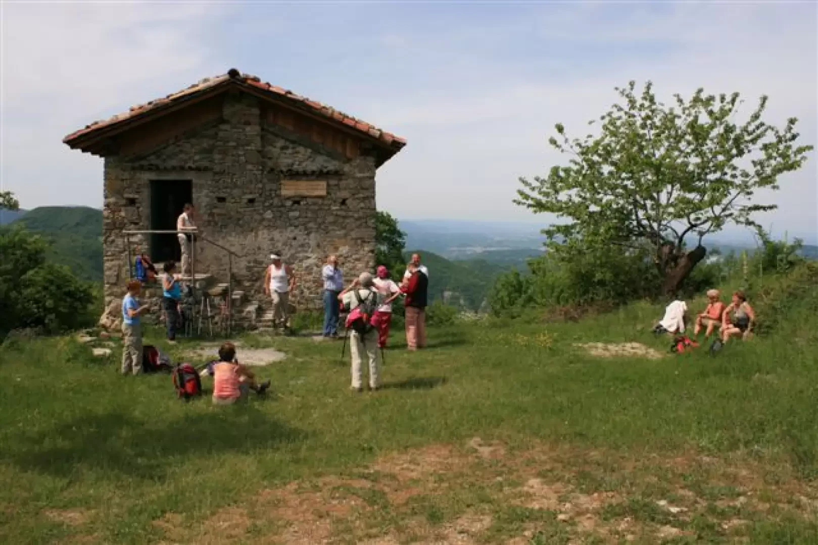
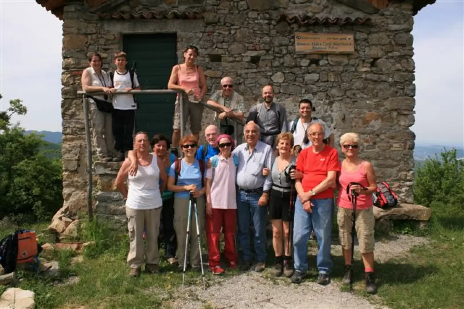
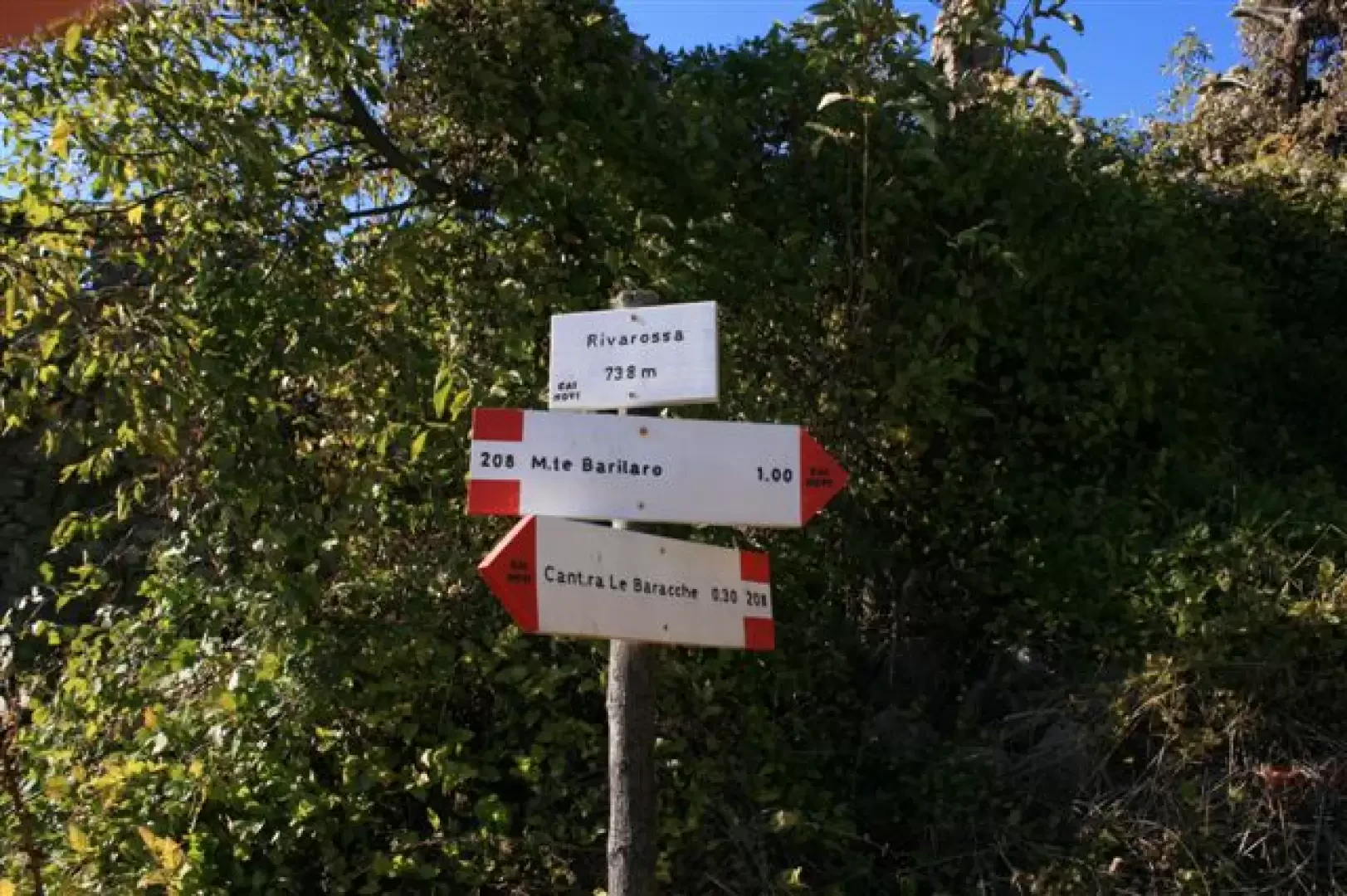
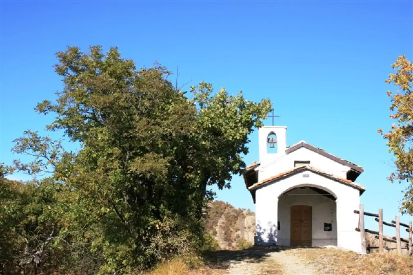
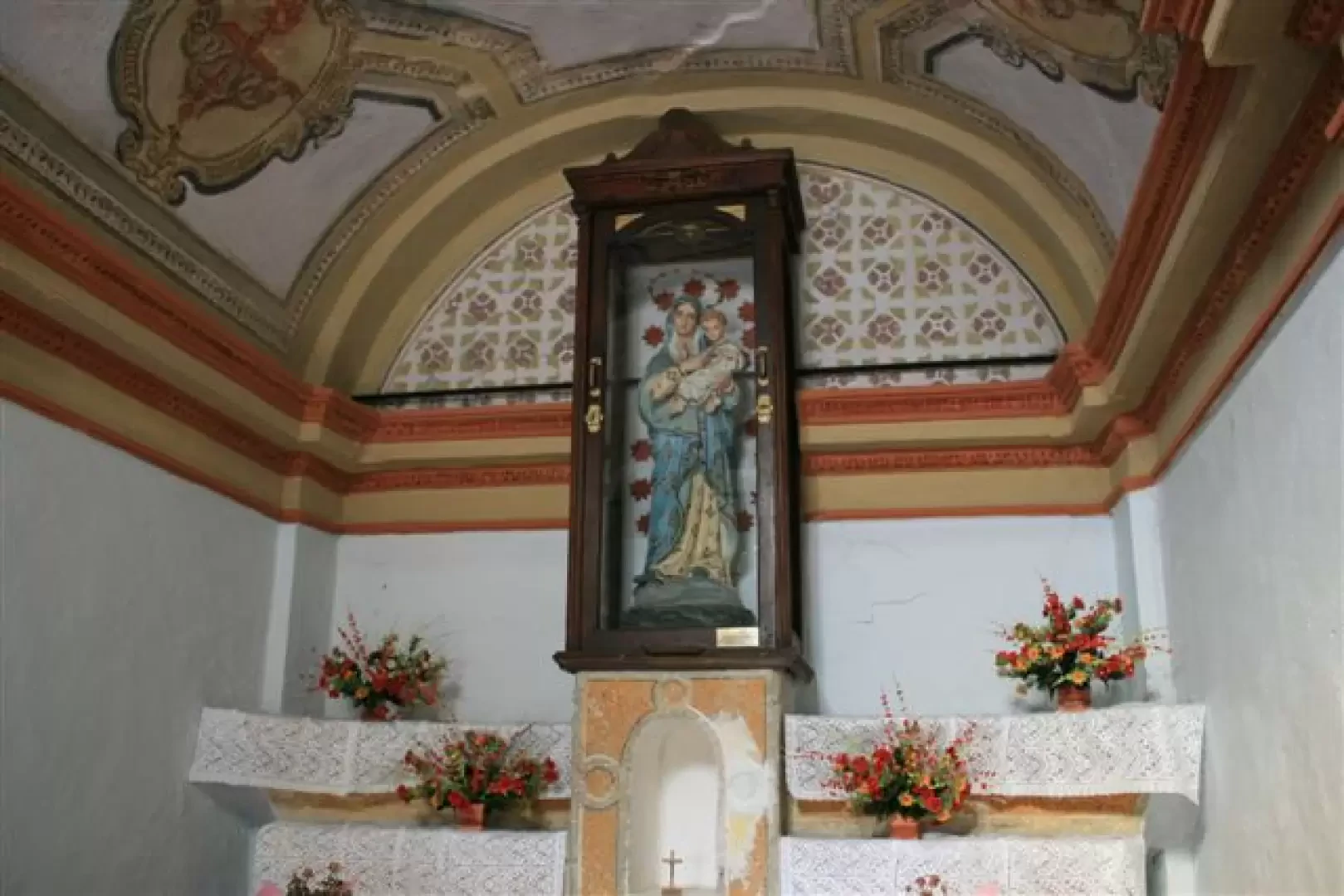
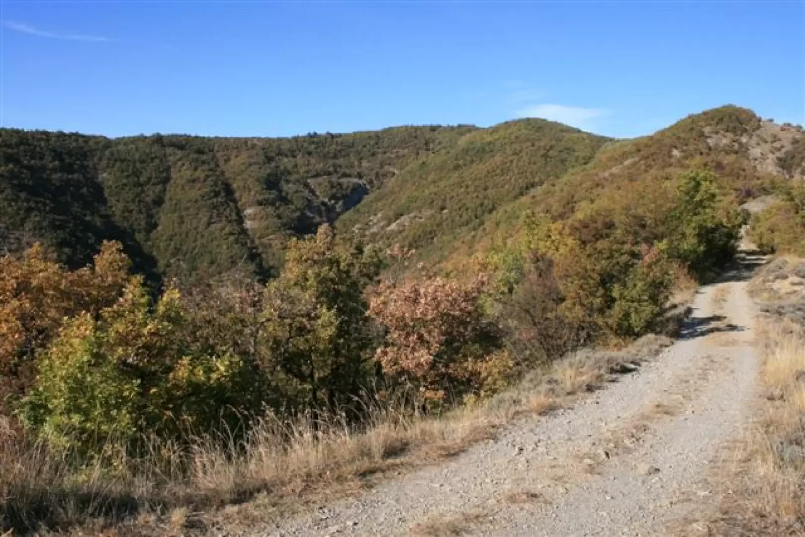
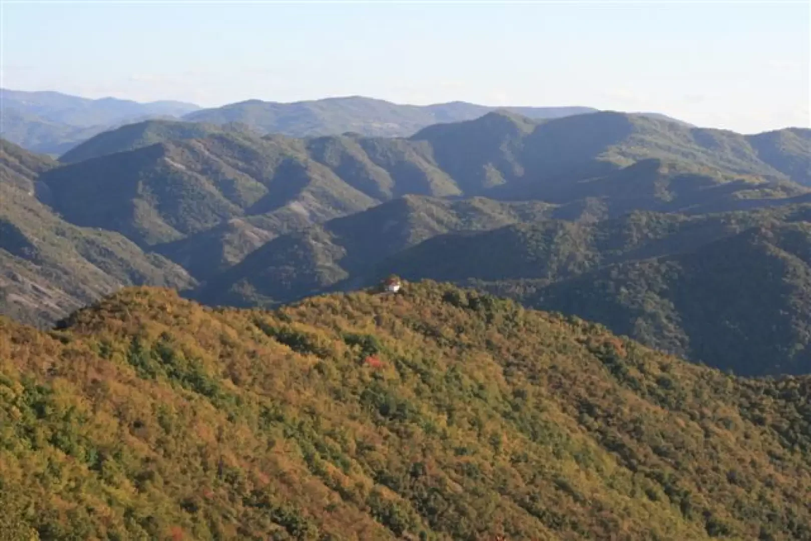
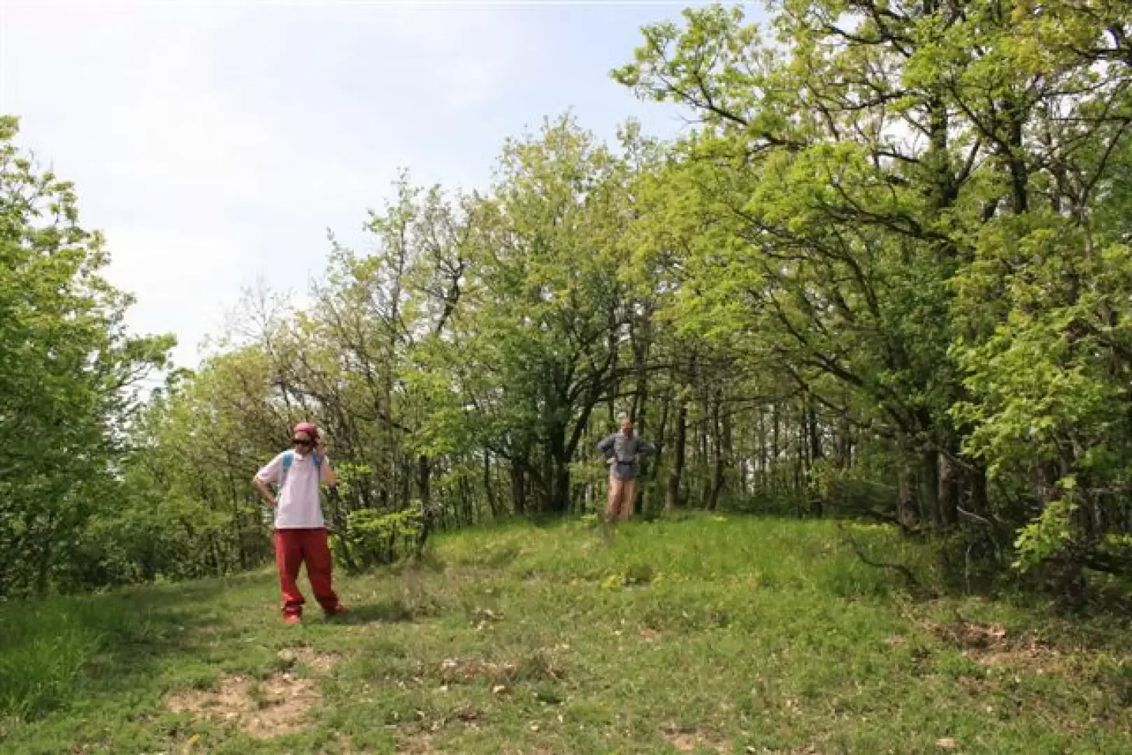
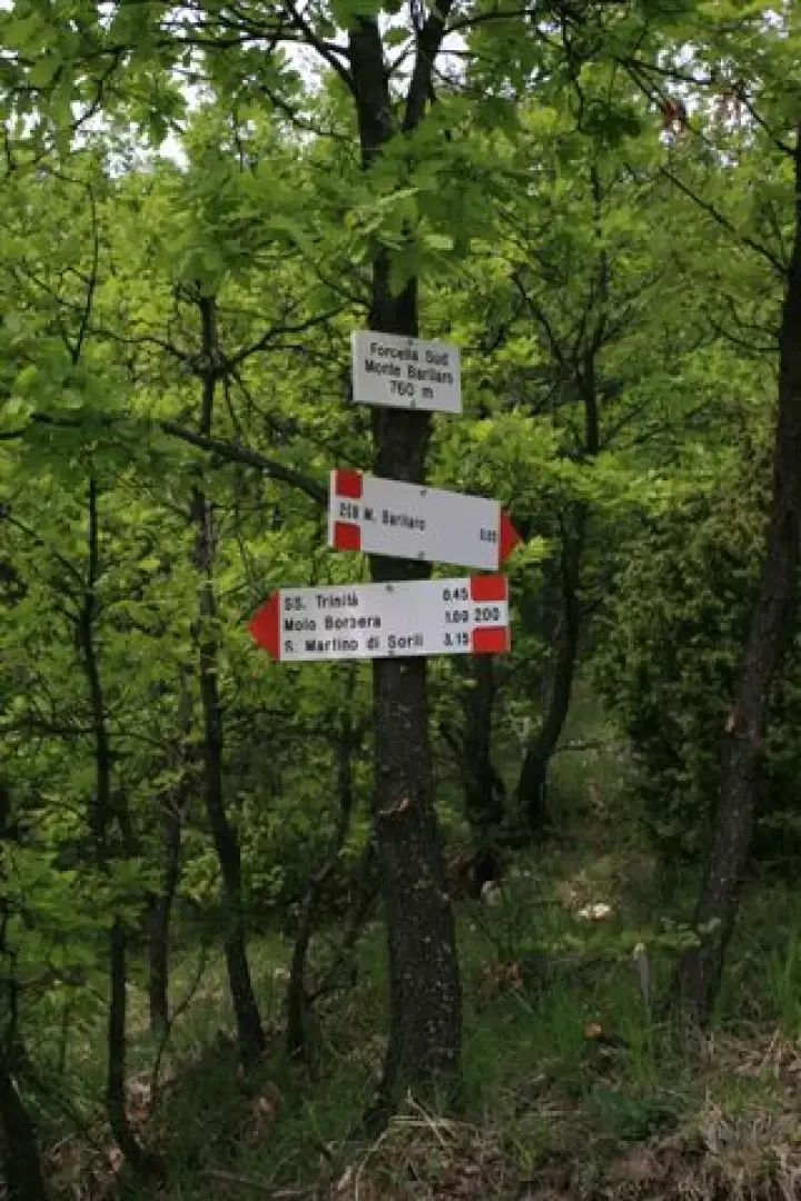
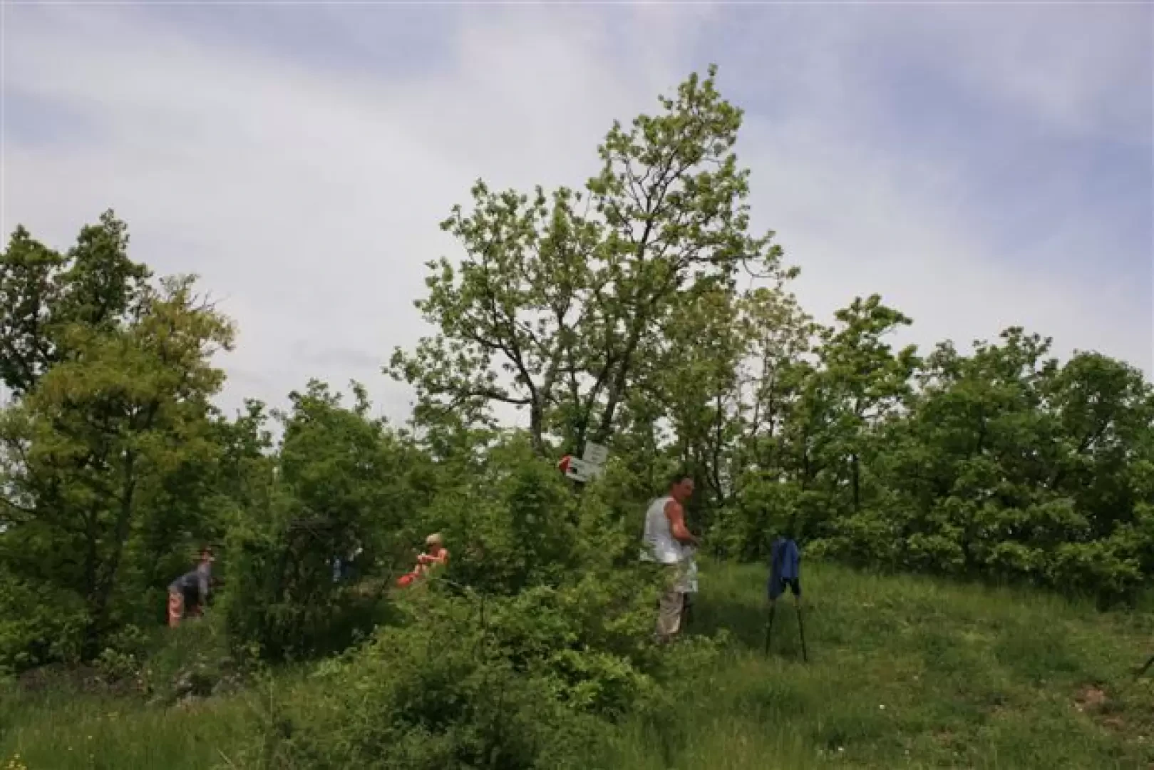
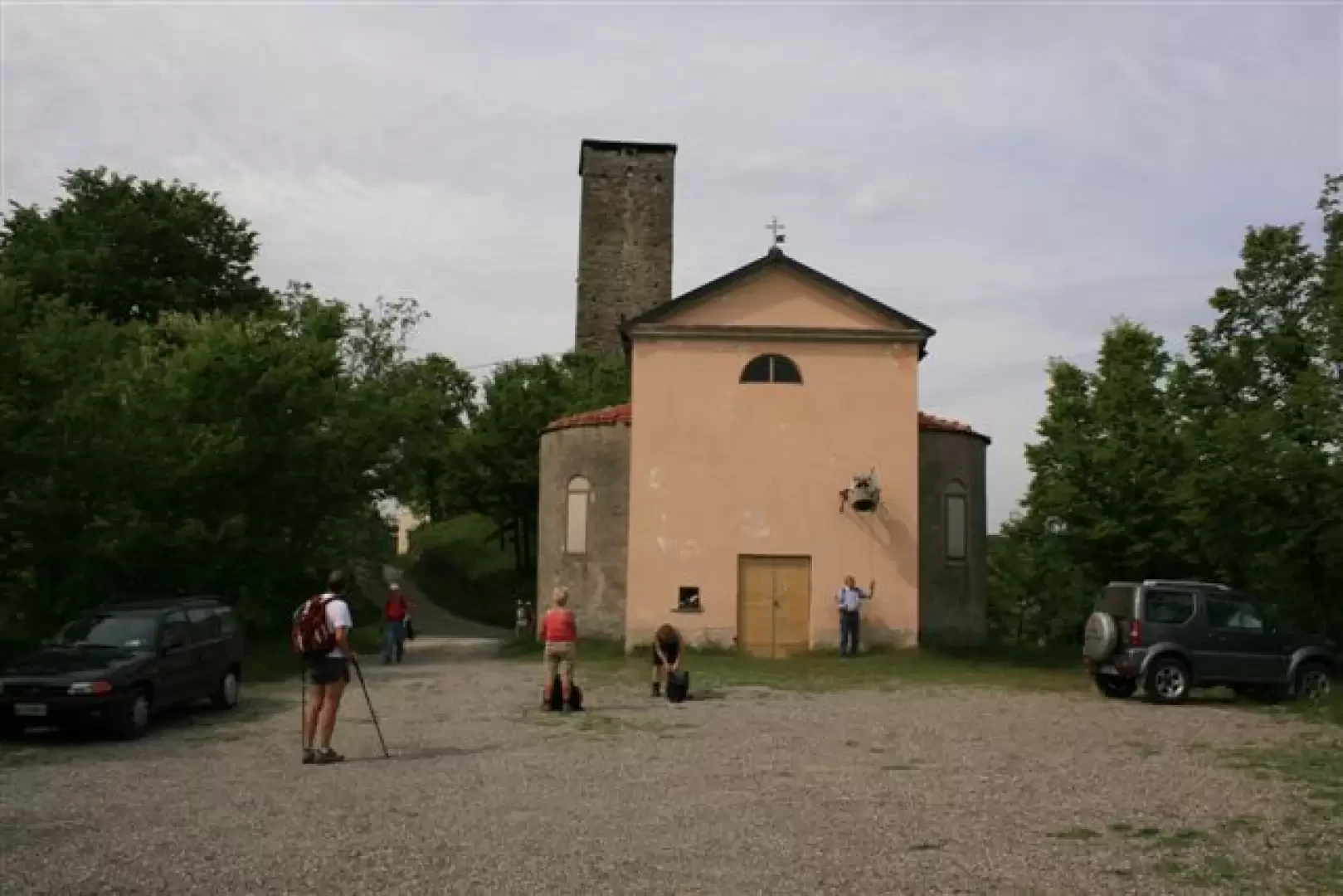
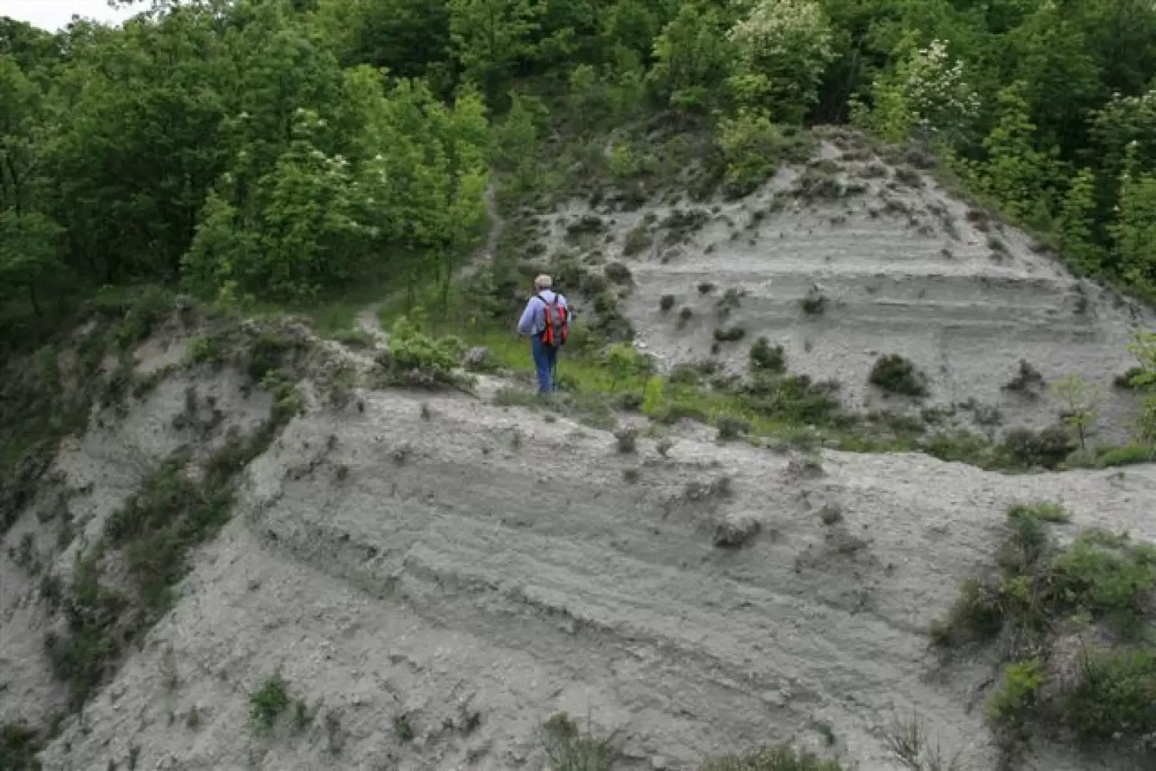
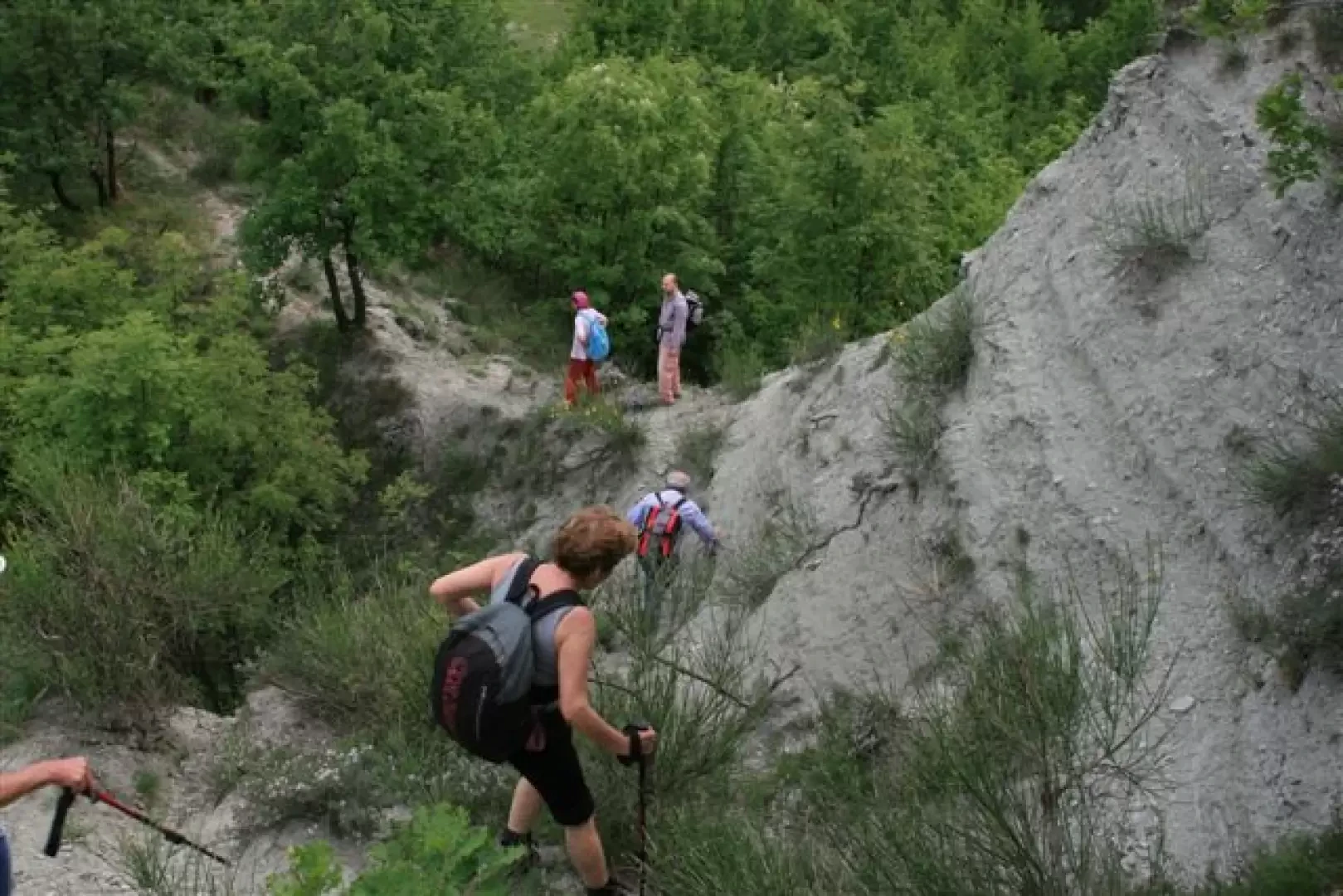
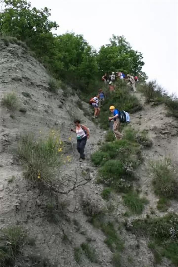
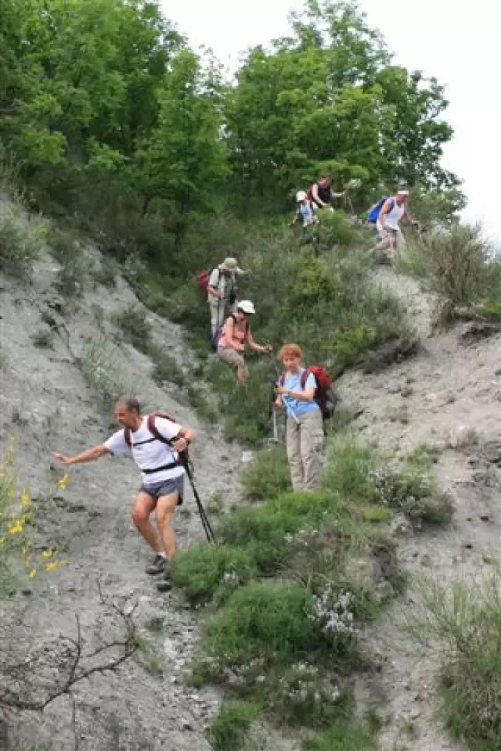
We ascend (starting at an altitude of 360 m) steeply through a beautiful forest, including chestnut trees, to the splendid abandoned village of Rivarossa (730 m) in about 1h - 1h15m (path no. 208, red-white flag - from the year 2007 - and very old FIE yellow hollow trail markers). Here, you will find the recently restored 'Marchesotti' bivouac and, five minutes from the houses, the little church of Rivarossa (755 m), on a very panoramic ridge (towards the upper valley, you can see the Giarolo, Ebro, Carmo...). A dirt road cuts across the mountainside on the left and when you reach a saddle; on the right, there is the unmarked diversions to the wooded Gavasa peak (at 911 m - about 10 minutes). Afterwards, you descend and, still using the 208, reach the southern saddle of Barilaro (760 m). You ignore the track to the left (it's the return) and the one to the right and go straight along a little track that in 5' takes you to the summit at 804 m, with a beautiful view of the Tortona hills (2h30- 2h45m with all the stops and detours). Up to this point, practically no problems; then a couple of days before the trip, looking at the map again, I realised that a 'horseshoe' could be done, I asked for clarification... and so I was convinced to do it with our group, despite the lack of a verification visit... After the lunch break, we took the track marked with the number 200, where we had to be careful... In fact, there are several problems on no. 200, in the stretch south saddle of Barolo. There are too many detours and branches and the forks are not always signposted in good time; after a decisive change of direction, we continue briefly on the dirt track, then at a certain point we come to a fork, which is not at all obvious and badly signposted. To the right a small path, almost closed off by vegetation, descends; the marker is on a tree, after a few metres, not visible from the wide cart track. Here, we made a mistake by following the more marked path, making some ascents, and at the end when I saw in front of me, among the trees, the outline of Barilaro and Gavasa (we were almost underneath) I definitely realised that we had taken a wrong turn... we turned back and, with a bit of effort, found the right diversions. At first, the path is barely there, very 'dirty' and you struggle, but at least in this section, there are a few more signs. Even later, at the various forks, we had some doubts (perhaps it is marked more for those going up and not for those coming down)... For this stretch, in the end, it took us 2h, but without the mistake and without all the doubts at the various crossroads, in my opinion, it can be done in an hour or so. What can I say about what happened... What's more, it seems very strange! Because route No. 200 would be part of an ambitious new project of the Novi Alpine Club, for a very long route of about 100 km, which runs through the entire Val Borbera, and which one would therefore imagine to be well maintained... therefore, the truth that one encounters in the area leaves one perplexed... All right, no harm done... Returning to the tour, the hamlet of Case Castello (now signpost 207) is very characteristic and pretty. This last indication is followed with only one difficulty in the 'calanchi' (moreover, even here, the signs are perhaps placed in favour of those going up and therefore some very slight problems for those going down, without having travelled it on the outward journey). Up to Persi it takes about 1h (in all, for the complete 'horseshoe', there are about 600 metres of difference in height, but we made more because of the mistake...). From the village, with the car we had left in the morning, we did the 3.5 km or so of asphalt to return to pick up the other vehicles. Anyway, all in all, it's a nice ride, a bit tiring in the heat, personally I recommend it for the month of October... Lastly, I would like to point out that we did not encounter any springs... There are many indications on the web (including the Cai di Novi site and that of the province of Alessandria), while for books you can consult "la catena dell'Antola" (pp. 108-110) by A. Parodi.
Galleria fotografica