Monte Bagnolo and Bivacco Laguione
Access
From the A7 tollgate at Vignole, go up the Val Borbera to Pertuso, where you turn left for Dernice and the Val Curone. After passing Fabbrica Curone, turn left for Selvapiana, reaching Forotondo, 830 m.
.Introduction
This excursion reaches, after crossing vast forests, the ridge of the Ligurian Apennines, the ancient salt route, in an area where four regions with annexed provinces almost intersect: Lombardy (province of Pavia), Liguria (province of Genoa), Piedmont (province of Alessandria) and Emilia Romagna (province of Piacenza).
Description
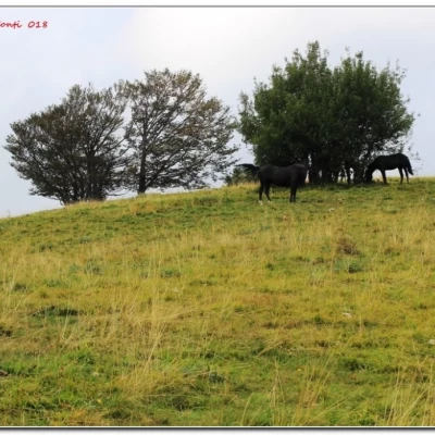
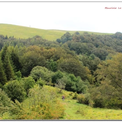
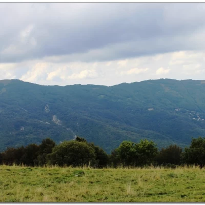
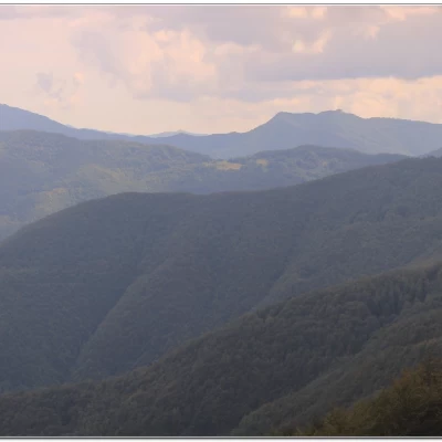
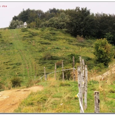
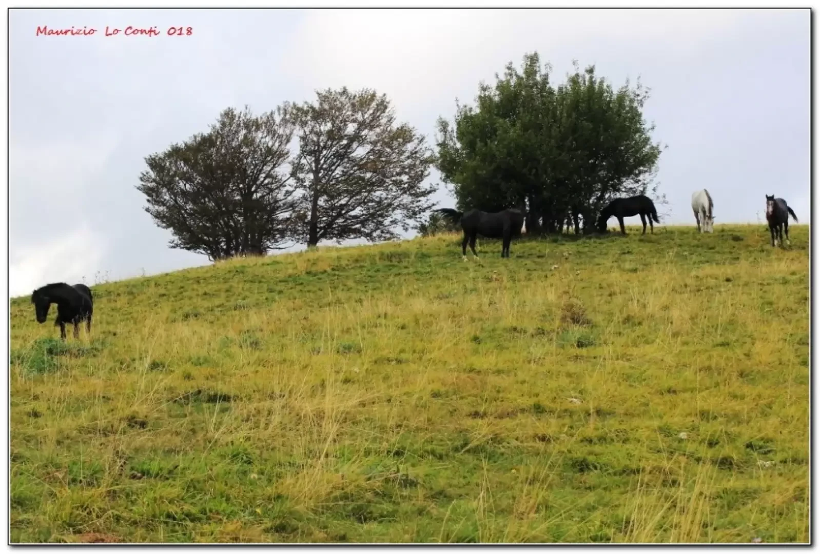
You park in the main square of Forotondo* 830m (the name, contrary to what you might think, comes from the beech tree - fo) and follow the CAI signs leading towards Monte Carmo and Monte Bagnolo. One always chooses the main route through dense woodland and after 2h15 one comes out on a plateau. To the right, but there are no signs of this, in a few minutes, you are on top of Monte Carmo della Val Curone (some horses grazing) with a very wide view (e.g. Monte Lesima, Caldirola and Monte Giarolo above, while the nearby crest of Monte Bagnolo stands out in front). We resume the path towards Monte Bagnolo and the Laguione bivouac where we finally take a break at 1520 m (30' - 3h total approx.). We set off again following the ridge in the direction of Monte Boglelio and after 30' we cross the Forotondo consortium road. Turn left and the path is really wide. You lose height with a long series of hairpin bends and, in about 2h00', always following the main track, you arrive at Ca Marchesi and then Forotondo.
In short: Fair weather, but a little cloudy in the afternoon. E Dif. E - 5h30 Tot - approx. 700 m asl.
(* here on the way back a good coffee at the hotel restaurant Monte Boglelio, which is nice and looks very promising... for good meals... http://www.monteboglelio.it - info@monteboglelio.it - tel. 0131782212 / 3347843519 )
Here is the pdf file, with a bit more info:
http://cralgalliera.altervista.org/Forotondo018.pdf
Other outings 2018:
http://cralgalliera.altervista.org/altre2018.htm
http://cralgalliera.altervista.org/anno2018.htm
NB: in case of an outing, always check with FIE, Cai, any park authority or other institutions, pro loco, etc., that there have been no changes that have increased the difficulties! No liability is accepted. This text is purely indicative and not exhaustive.
Info Hiking Section Cral Galliera: http://www.cralgalliera.altervista.org/esc.htm
trips 2018 at the link: http://www.cralgalliera.altervista.org/gite2018.pdf
General information
Signposts: paths with partial Cai marking
Tour type:circular
Recommended period: April, May, June, September
Exposure to the sun:
Objective Danger:
Exposed Trails:
