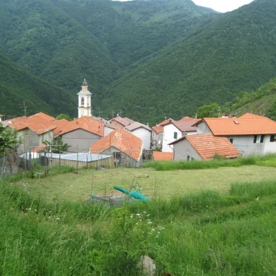
Mount Alphaeus, from Bertone
Description
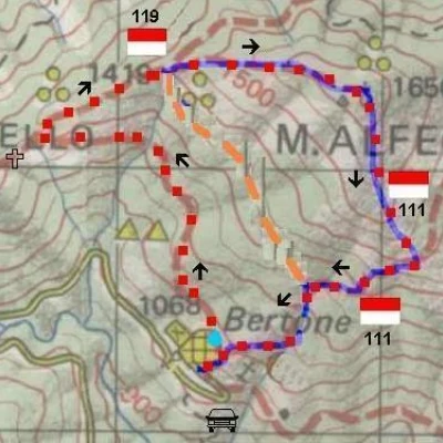
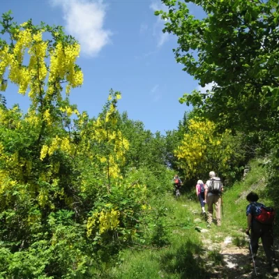
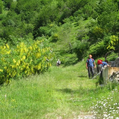
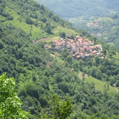
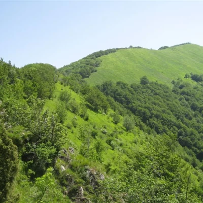
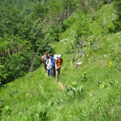
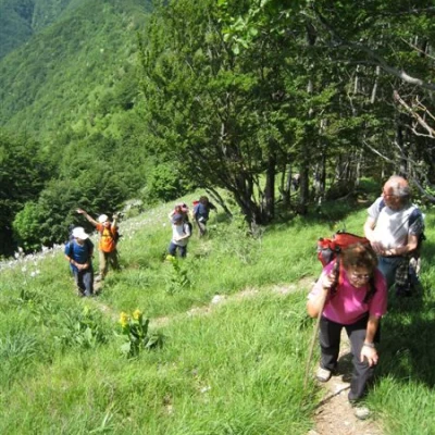
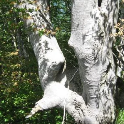
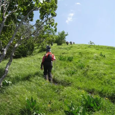
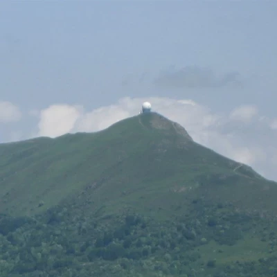
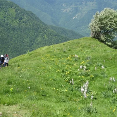
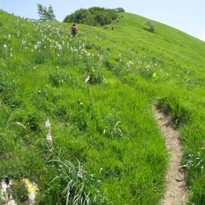
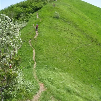
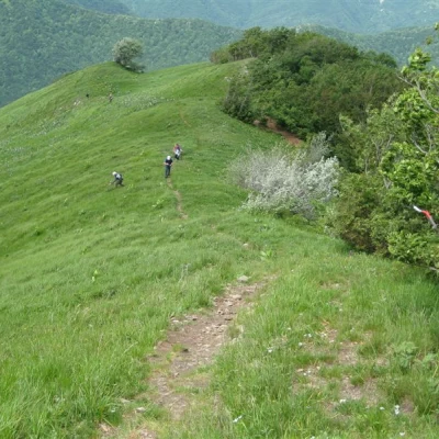
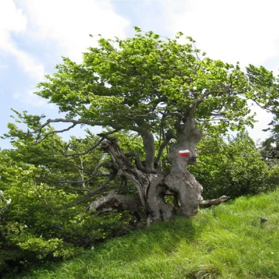
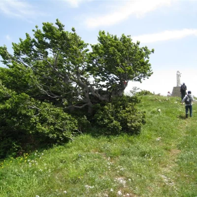
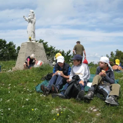
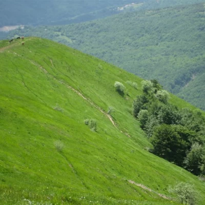
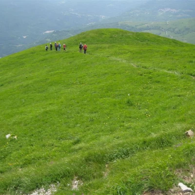
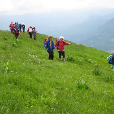
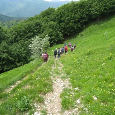
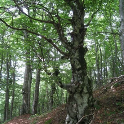
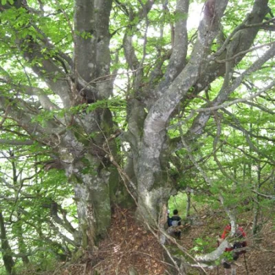
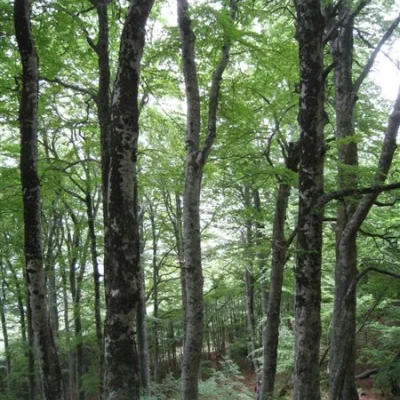
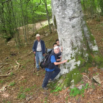
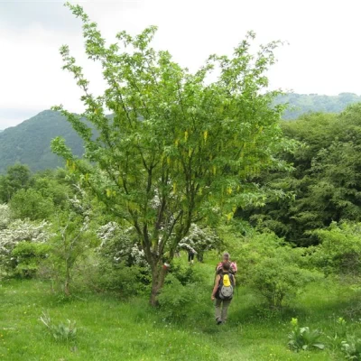
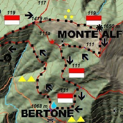
From Bertone, go up between the houses and in 2', near a spring, turn left onto a level path, passing under an archivolt (2 yellow triangles, not the CAI symbols used on the way back). The mule track climbs fairly gently, until you find a pool with newts (non-drinking water), then further on it abruptly abandons the path (almost 1h from the start - if you arrive by a stone votive pillar then it means that you have passed the crossroads and have to go back briefly...) to turn right onto a barely visible path (three yellow dots and red-white CAI 119 flag). At first, the track has little slope and after a while you can see the ridge that will lead up to Mount Alfeo ... but after 20', you come to an important crossroads (1419 m) marked by a small pole with all the indications. The track is now very steep, and on the left you pass a series of trees, all twisted and bent by the wind, which blows incessantly (and makes it easier to climb the slope even when it is hot lower down...). In another 45', you are at the summit (tot 2h - 2h15'), 1650 m high. From the summit, the panorama is vast... you can immediately see the way back to close the loop and the air traffic radar observatory on Monte Lesima stands out. After the break, we descend with the cai n. 111 symbols, crossing a beech forest, with some specimens of considerable size... so much so that one tree requires four ladies to cover its circumference... !!!!!!. The return is quick (about 1h15 - 1h30). In all, you have almost 600 m of altitude difference and a total distance of about 3h15 - 3h45. In terms of mileage, however, it is about 5 to 6 km and no more... If you want to lengthen the trip considerably, you can set off on foot directly from Gorreto (a sign on a wall speaks of the Alfeo, but now the FIE symbols no longer pass the summit). The 2 yellow triangles then reach Bertone (+ 500 m difference in altitude and about + 3h on the A/R trip). But this last extension, in the middle of summer, can make one suffer from the heat...
NB: In the event of an excursion, always check with FIE, Cai, any park authorities or other institutions, pro loco, etc., that there have been no changes that have increased the difficulties! No liability is accepted. This text is purely indicative and not exhaustive.
More photos at the link
part one
http://digilander.libero.it/mmter/alfeo010A.pdf
part two
http://digilander.libero.it/mmter/alfeo010B.pdf
or at
http://www.cralgalliera.altervista.org/anno2010.htm
Here, instead, are the pictures of the previous hike in the area
http://xoomer.virgilio.it/cralgalliera/bertone.htm
for another description of the route, see also
http://xoomer.virgilio.it/escursionismogalliera/articoli/08escursionismo...
