Mont Zerbion, from Artaz

Introduction
A delightful hike starting from the village of Artaz in the commune of La Magdeleine and ascending through the cool woods below Mont Tantané and then reconnecting in the Promiod valley to reach Col Portola. When you reach Col Portola, you can admire the splendid panorama of the Monte Rosa group.
Description
On reaching the hamlet of Artaz (1815m), you can leave your car in the lay-by ...
Continue along the path to reach the Revard huts (2031m) and finally meet route (6) (departure from La Magdeleine).
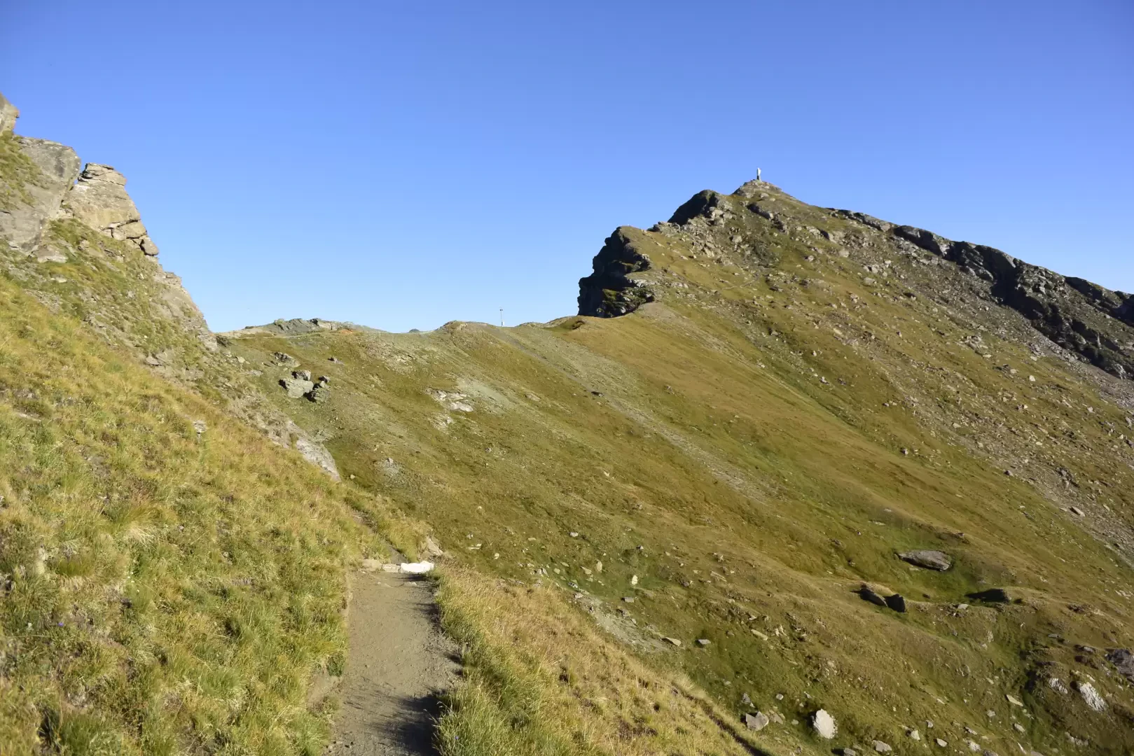
Continuing the ascent with itinerary (6) we reach the La Nouva alpine pastures (2193m): the last dwellings we will encounter on our way. Leave the dirt road and cross the meadows on a path that leads to Col Portola (2410m). We now continue along the ridge along the path, with an excellent view of the Valle d'Ayas and the Monte Rosa massif in the background. Finally, the summit of Monte Zerbion is reached after having overcome a somewhat uneven stretch of path.
