Mont Valaisan, from Little St. Bernard Pass
Introduction
Walking through the folds of history! Along this exciting itinerary, you will walk through various historical eras straddling mountains and hills that have united and separated neighbouring peoples over the centuries.
Description
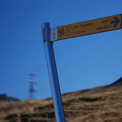
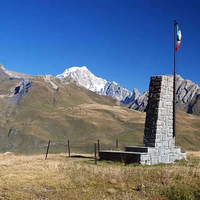
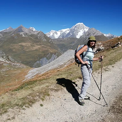
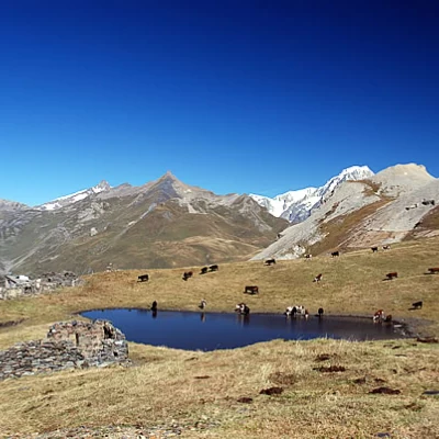
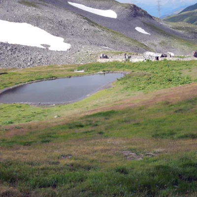
Leaving the car behind, take the dirt track leading to the col Forclaz, marker (9). Turn left immediately, passing under the Piccolo San Bernardo chairlift. After a few hundred metres, you come to the monument dedicated to the Italian tank drivers who fell for their country; continue on the track, cutting across the grassy ridge halfway up the hillside towards Touriasse (2448m), a promontory of rock and debris. On the way up, one cannot fail to be amazed by the beautiful panorama stretching out to the left of the direction of travel: mountains to the north of La Thuile are topped by the gigantic spurs of Mont Blanc and the Jorasses. We continue our walk over a grassy hump, with a couple of hairpin bends in the track, until we reach the ruins of the Touriasse alpine pasture (2380m) next to a small lake: a lovely mountain landscape! Make a couple more turns and you reach a small shelf where the chairlift to Belvedere starts. Still following the track, you first proceed in a straight line and then climb the small slope before the pass, making a couple of hairpin bends. You reach Col de la Forclaz (2486m, 1h00') where the arrival of the Forclaz Express chairlift is located.
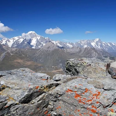
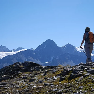
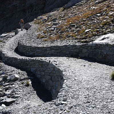
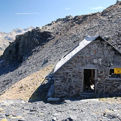
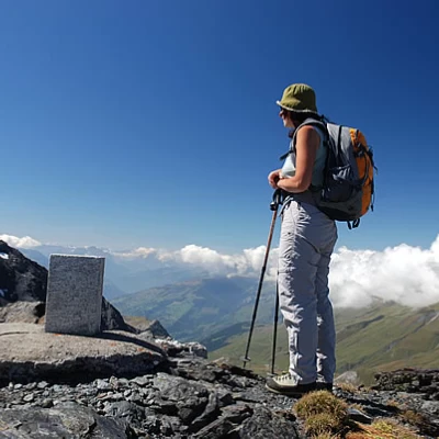
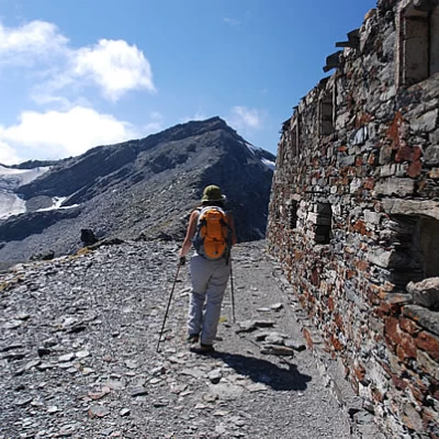
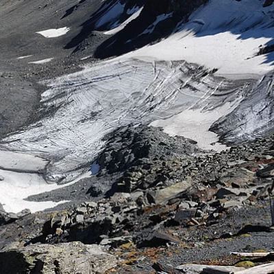
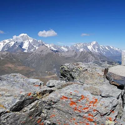
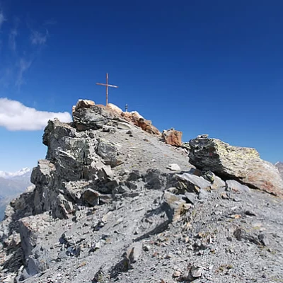
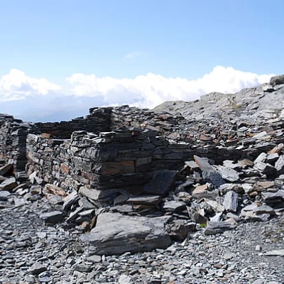
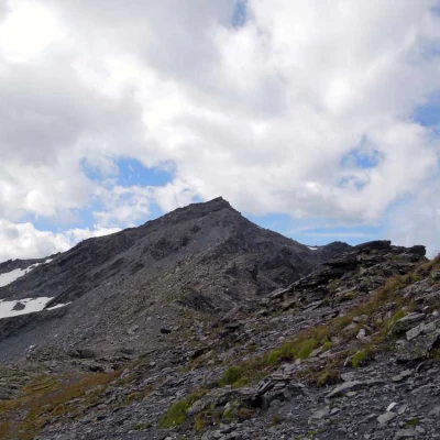
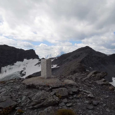
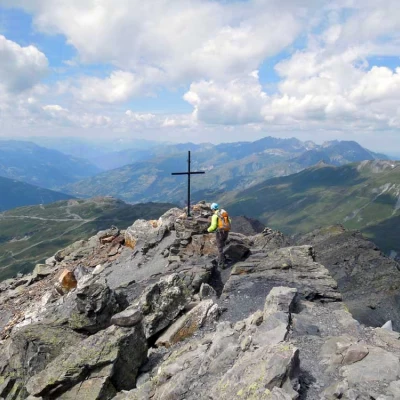
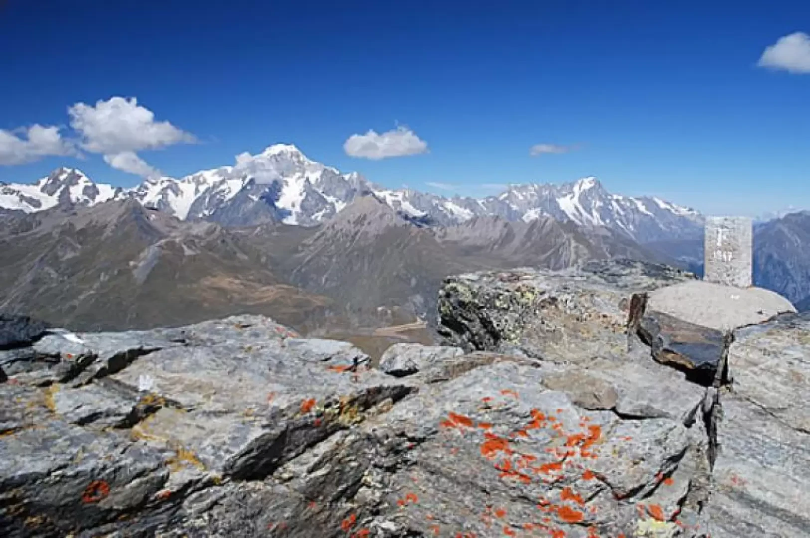
From the pass, descend briefly down the dirt track, joining the track that leads to Col Belvedere. After a few hundred metres you come to a marker: turn left, signposted (9D), and take a nice path across the pastureland. The first section of the path, which is almost flat, leads the hiker to the sight of the Rutor glaciers; then turn left, descending the pasture until reaching the impluvium of a small valley. One crosses a stream on a beautiful little stone bridge and begins to walk along a beautiful stretch of military path, perfectly paved, where the footsteps of soldiers who came to guard the delicate Italian-French border during the years at the turn of the 20th century still resound. You circumvent the rocky ridge in a wide semicircle until you reach the base of the rocky crest. Continue the ascent along the mule track with enchanting views of Mont Blanc. You enter another small depression before ascending a short detrital section that leads to the ridge. Follow the ridge, which slightly steepens until you reach a small ruined barracks: cut across the ridge until you reach the remains of a post. Here, briefly climb up a small scree slope to reach the summit of Bella Valletta (2811m), on which there is a boundary stone. Return to the post and descend towards a barrack that is now in an advanced state of decay; after the ruins, descend again for a short stretch of scree until reaching the saddle that precedes the summit of Mont Valaisan. Start climbing again on the mule track that soon becomes a narrow path overlooking the glacier of Mont Valaisan. The summit is close by, but the steepest and most treacherous section must also be overcome: the path becomes narrow and slightly exposed until reaching the broad summit made up of large boulders, a boundary stone and a couple of crosses (2891m, 2h50').
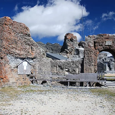
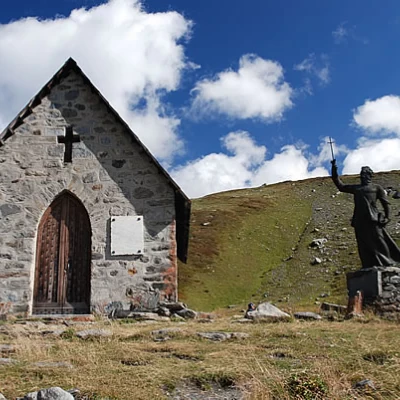
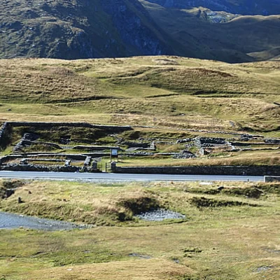
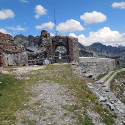
The descent can be along the same route as the ascent (1h45'), or you can complete the itinerary with a nice loop by returning from the French side (2h00'). The descent is along the west ridge: in the first section, a few steps are climbed and then, at the foot of the summit, there is an obvious path. The first section does not descend much, keeping to the southern side of the rocky rampart and reaching the ruins of a shelter. Here you begin to descend with more "impetus", heading towards the meagre pastures at the foot of the Tête de l'Âne: here you join a path, almost flat, that soon leads to the Col de la Traversette (2,383 m): here it is worth a short detour to the nearby Redoute fortress, unfortunately only visitable from the outside. Return to the pass and descend the steep ski slope until you reach a ski-lift: here, take a path that crosses another slope and leads towards the Little St Bernard depression. After skirting a small lake, you begin to descend towards the pass, taking you to the vicinity of the Ancien Hospice du Petit Saint-Bernard: here you take a little path that climbs up towards the Chapelle Chanoux dedicated to the illustrious abbot Pierre Chanoux, the Chanousia Alpine Botanical Garden and reaches the French-Italian border. The last part of the path allows you to appreciate, from above, the pre-Roman Cromlech and the ancient Roman mansio; by now the car park is approaching, just a few hundred metres and you can conclude this fantastic tour wandering through the centuries.
