Mont Tantané, from the Artaz car park

Edited by:
Massimo Martini
Updated at: 14/03/2026
Access
Leave the motorway junction at Châtillon, turn left and continue for about 300m until you come to a roundabout: take the third exit and continue straight on Via E. Chanoux. Cross the historic centre of Châtillon for about 600m and then turn slightly right onto Via Menabreaz to follow for 450m to the characteristic roundabout with the "Matterhorn" inside. Take the second exit and take the Valtournenche road for about 7.6km to Antey-Saint-André, where you turn right onto the to La Magdeleine. Climb up the regional road for about 7.8km until you reach the main town of Brengon. Pass the parish church and, after ignoring the left-hand fork for access to the La Magdeleine-Chamois promenade, continue for a few hundred metres until you reach the large side car park 🅿️ of Artaz.
[0h29'] - [17.4km]
How to get there with GMaps
How to get there with Apple Maps
These directions are based on direct verification at the time of surveying the route so the information should be checked before embarking on the hike. We recommend using a GPS navigator or map app on your smartphone to get up-to-date and detailed directions.
Introduction
Interesting loop on the slopes of Mont Tantané: the proposed route is configured as a loop and provides a beautiful view of the middle Valtournenche area.
Description
0h00' From the Artaz car park, proceed on entering the village until you come to the fork between path
and path
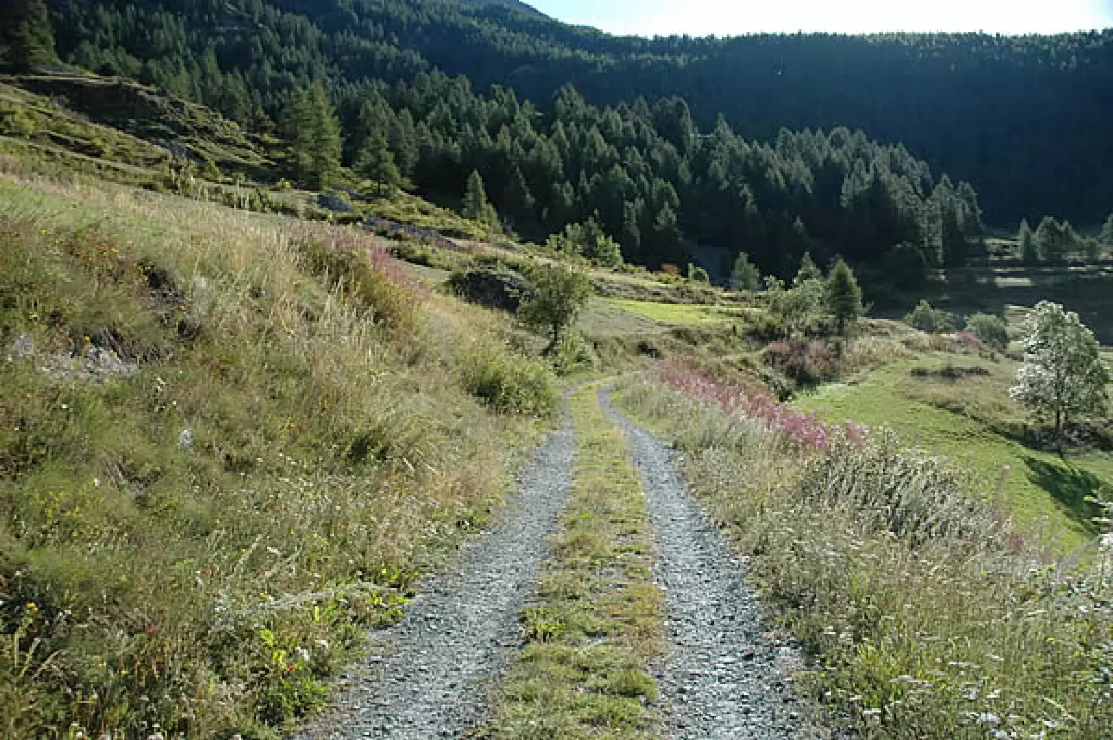
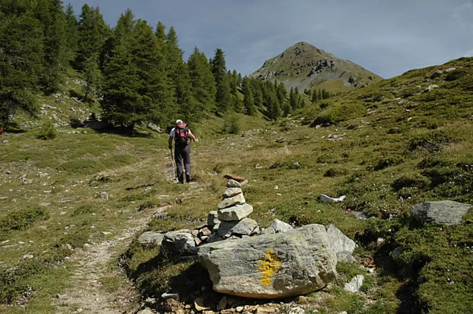
: turn right and follow a farm track for a short distance until you take a path that cuts diagonally across the pastureland. One enters the Bois de Praz Villard, crosses a forest track and cuts across its hairpin bend to the left with a short stretch of path. Once you reach the track again, head left to the Novales mountain pasture (1,900m, 0h20').
You now proceed along the steep track that you take to the right of the mountain pasture; you quickly gain altitude in the dense fir forest. At the end of the track, at the height of a small stream, the path becomes less difficult and proceeds halfway up the hillside until it joins the pastureland that precedes Chancellier. Follow the path briefly, cross path
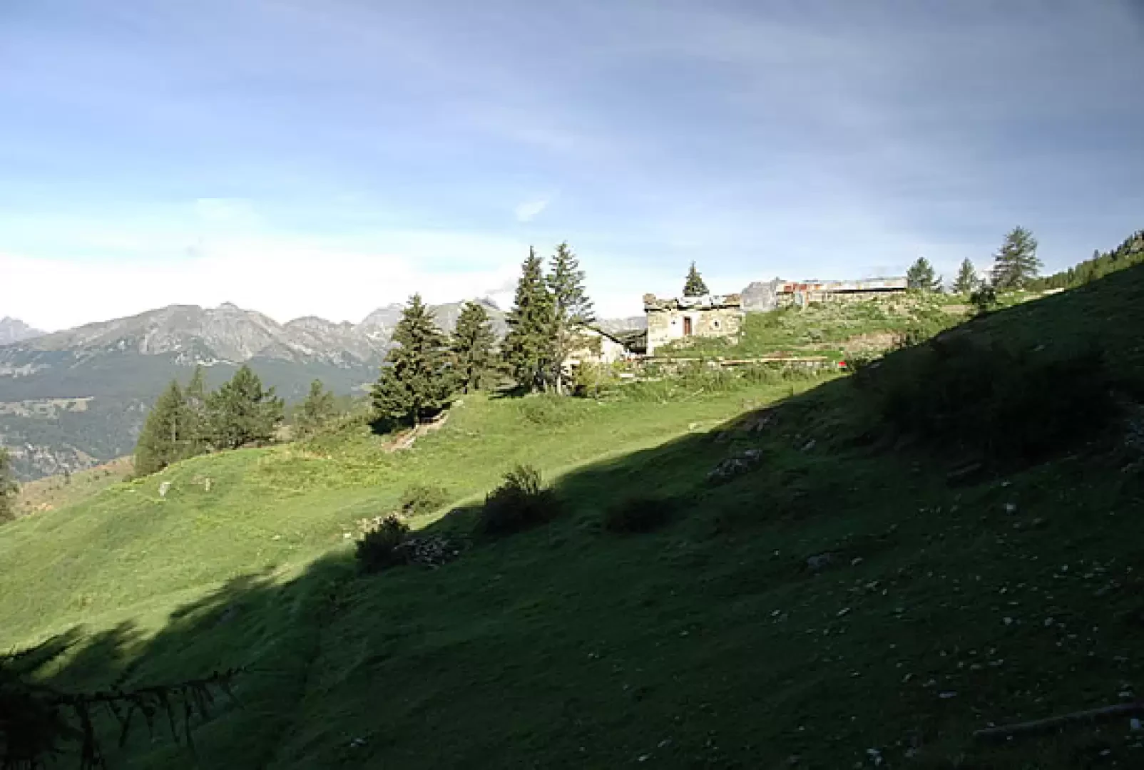
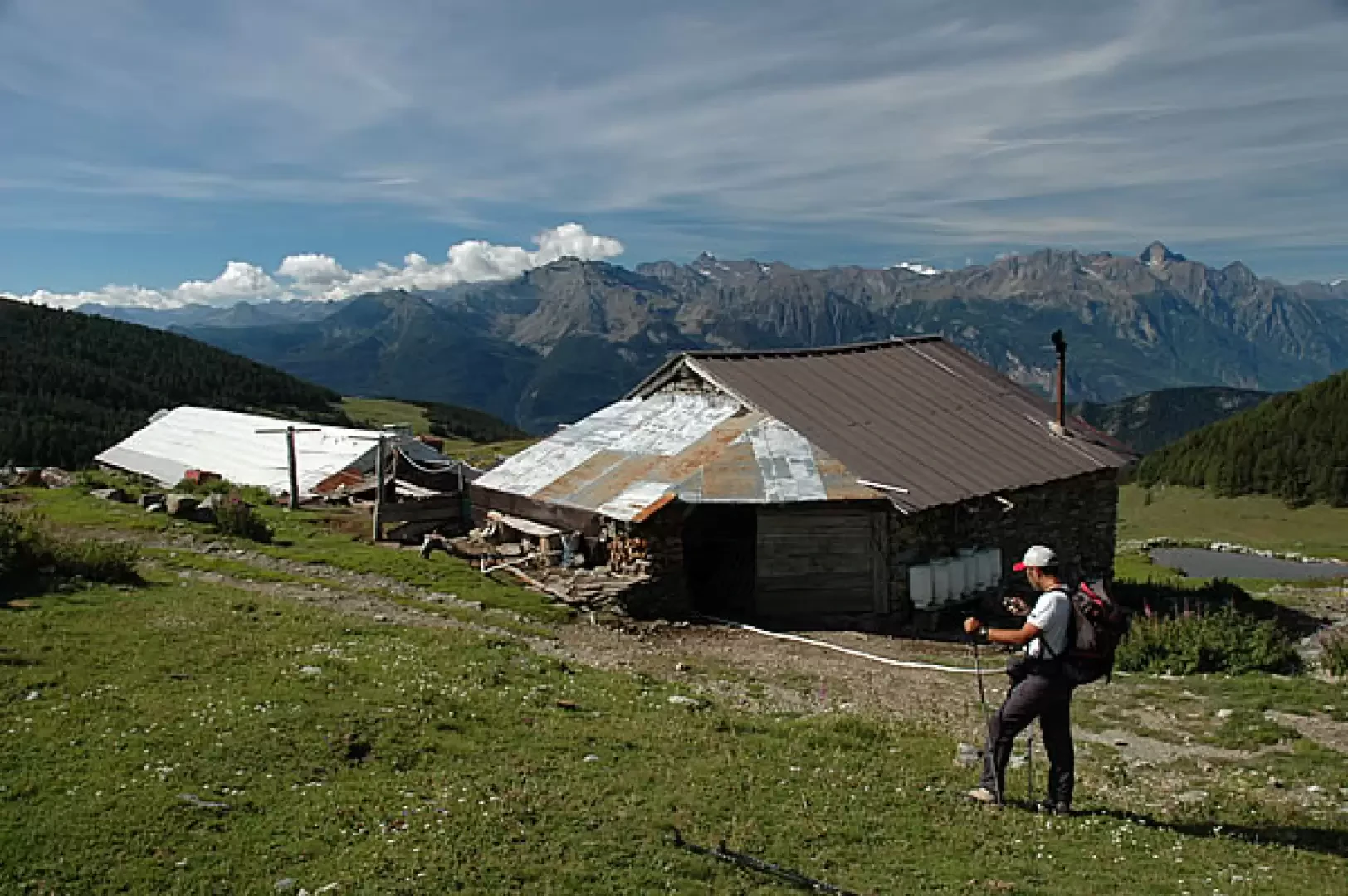
, turn right, and you will reach the Chancellier pastures (2060m, 1h10').
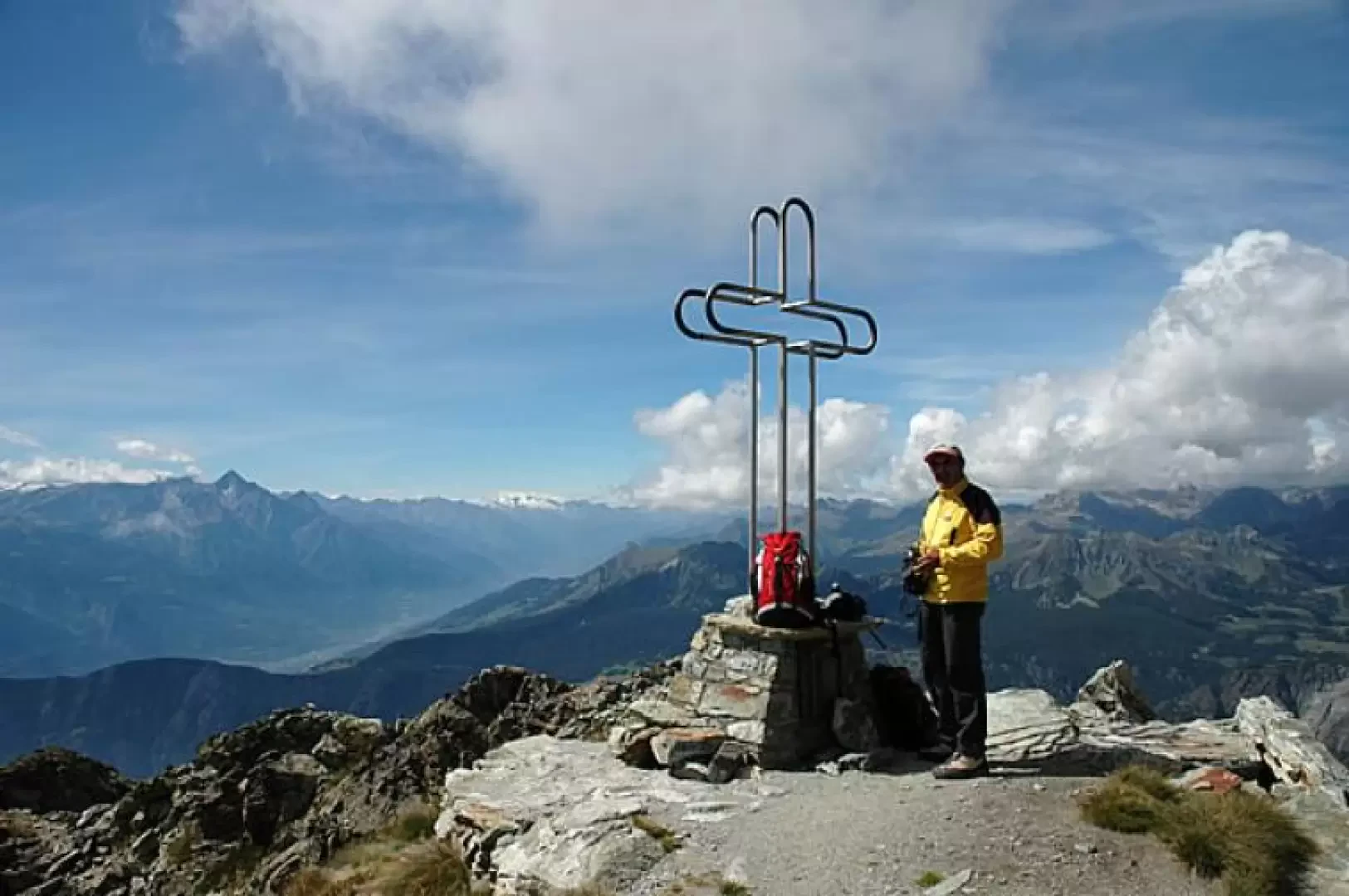
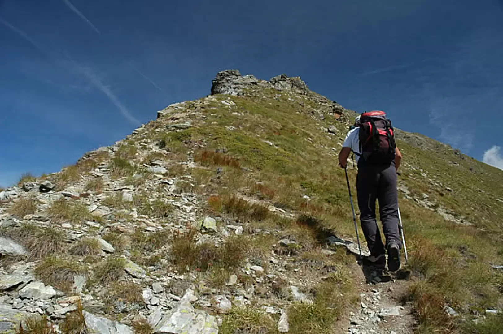
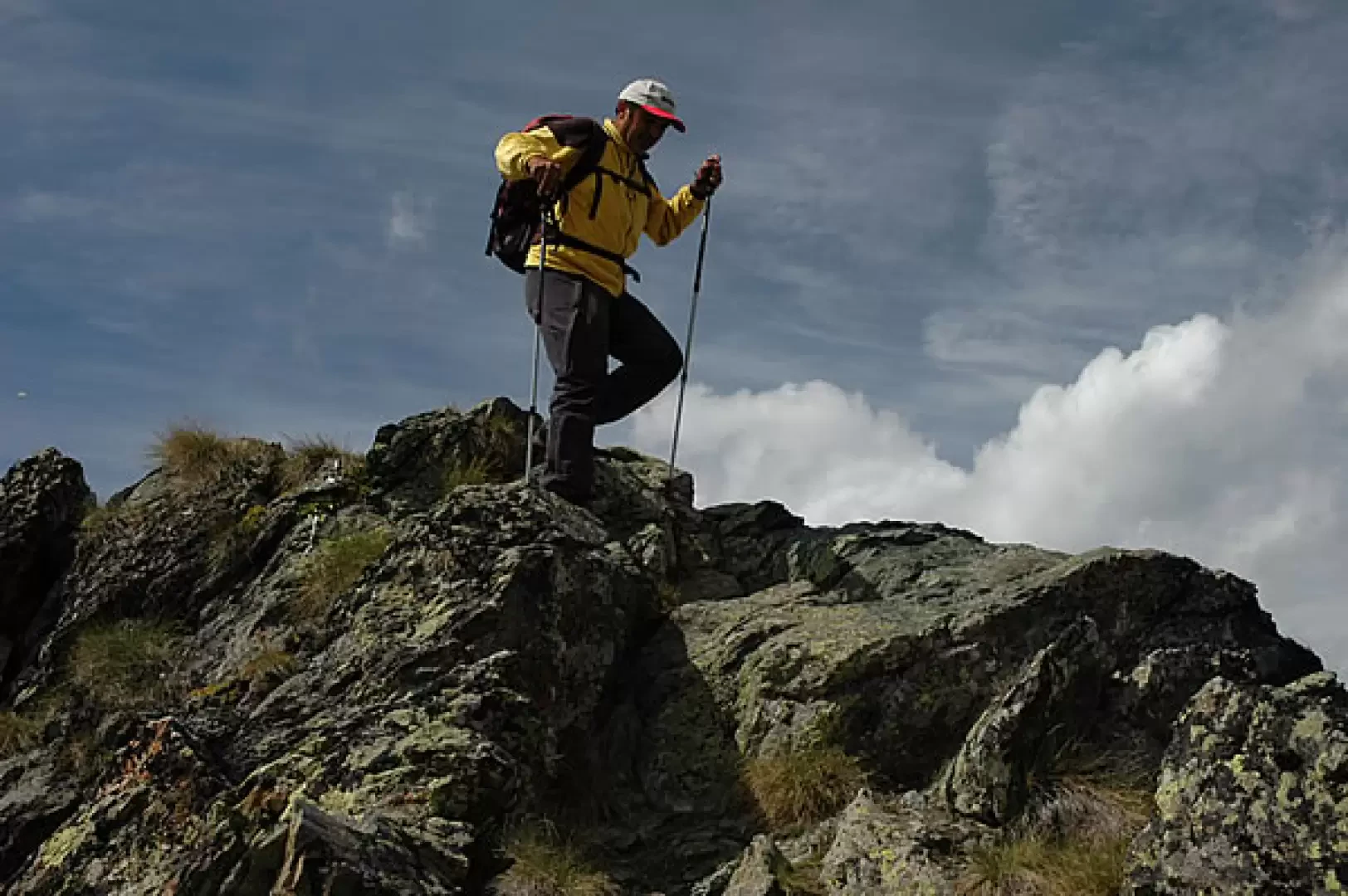
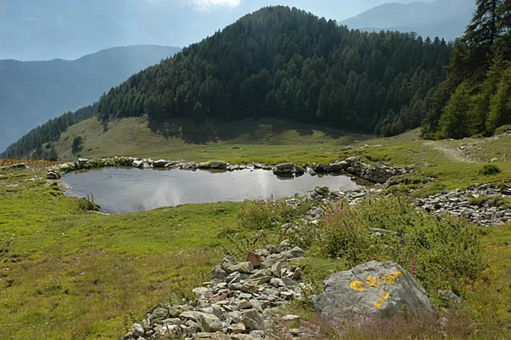
Follow the path through the pastures until you reach the track that leads to Col Portola and Chancellier Damon (2147m); continue along the path into a small valley dotted with several small lakes. Slowly we move to the left, ascending towards the south-west ridge that forms the border between La Magdeleine and Châtillon. Having reached the ridge, we begin a sustained ascent until we come to the first fork in the nature trail. We continue to climb until we reach the second fork on the left for the nature trail; from here the climb is relentless, a continuous series of small turns do not reduce the effort to reach this peak. At an altitude of 2,705 m, you reach the shoulder of the Tantané and from here the ascent subsides and, following the track of the path along the summit rocks, you finally reach the summit of Mont Tantané (2,734 m, 3h00').
The descent is by the same route (1h30') or you can make an interesting loop to Col Portola.
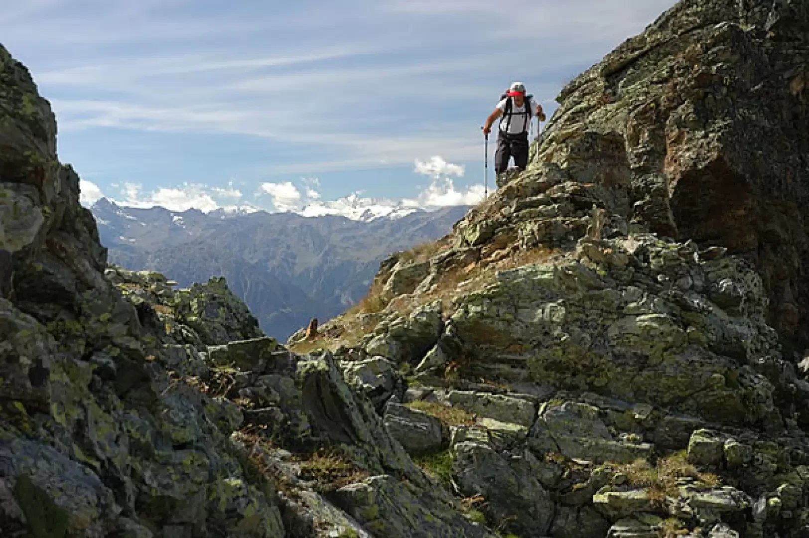
From the summit, start your descent in an easterly direction between a few small rocks until you reach the watershed ridge with the Val d'Ayas (2682 m, 3h25').
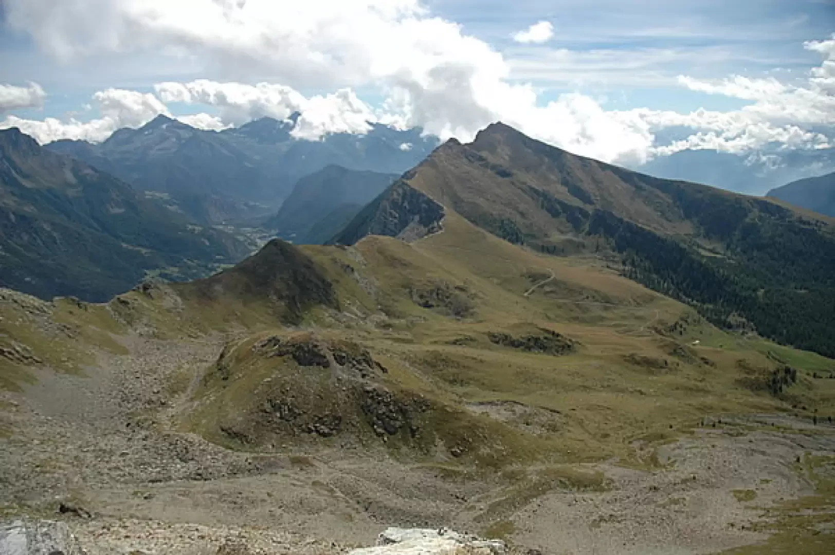
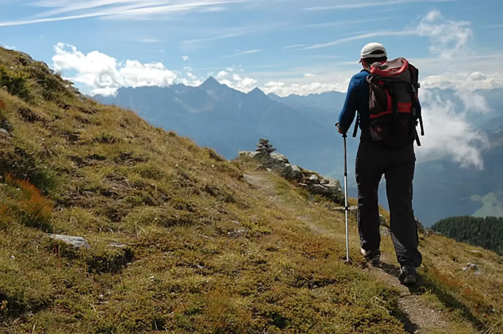
You turn right and continue your descent along the edge of the ridge with interesting views of the Mont Zerbion and, behind you, the Monte Rosa massif. We overcome some slightly uncomfortable and exposed sections and then begin the descent mainly on the Promiod side. Having reached the track at the height of a repeater, proceed for another short stretch along the alpine pastures until reaching the notch of Col Portola (2414 m, 4h30').
From the pass, descend the meadows with a nice diagonal turn until joining the farm track; walk along it briefly before leaving it at the next hairpin bend, and pick it up again just below. Now the walk proceeds along the track that allows you to descend the wide basin of Portola, and reach the Alpe Chancellier Damon (2147 m, 5h00'): from here you retrace your steps until you return to Artaz (1715 m, 6h00'), the starting point of the hike.
Galleria fotografica
We have been there

Edited by:
gipe