Mont Pancherot, from Perrères

Edited by:
Massimo Martini
Updated at: 05/06/2025
Introduction
Description
At Perrères, the last outpost before Cervinia, park your car after crossing the tunnel, just under 5 km after the village of Valtournenche. From the car park, one crosses a small wooden bridge over the Marmore stream and meets path
. The initial path crosses the meadows and after a few hundred metres reaches a farm road, after which it continues uphill until it reaches a second one that must be followed for a few hundred metres. The path proper, always indicated, will take us after about 500 metres of ascent to Finestre di Cignana. On the ascent, you will cross the Alta via alta via No. 3 and enjoy some excellent views of the Cervino and the Cime Bianche. When you reach the Finestra di Cignana, after about two hours of walking (2441 m), turn left, continuing to follow the Segnavia
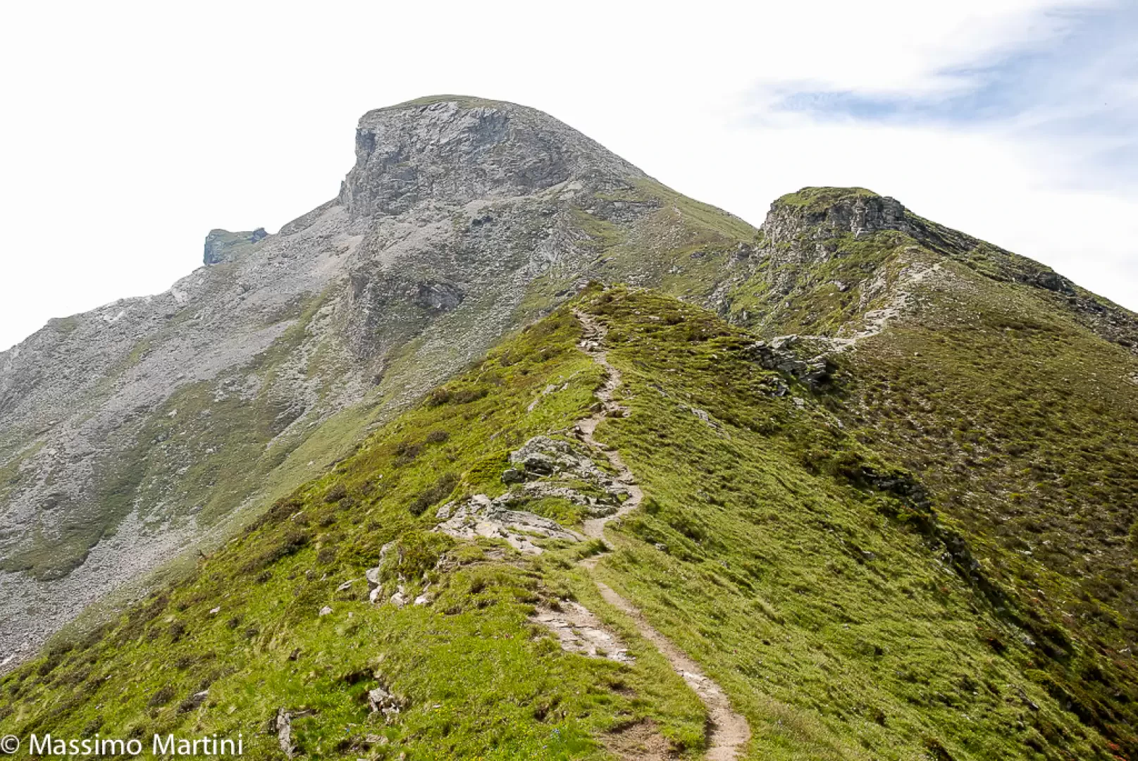
path, which climbs the grassy ridge of the northern slope of Mont Pancherot. After a few hundred metres, the path turns to the right, passing under a rocky ridge, and then ascends the ridge on the west side. After gaining height, you finally find yourself on the first summit (2623 m) and then, after passing a small pass, you reach the peak (2614 m) topped by a cross.
The Pancherot mountain stands as a divider between the Valtournenche and the Cignana valley, offering incomparable views for those who love mountain panoramas.
The ascent to the summit, after having passed the Finestra di Cignana, does not entail any great difficulties (there are only a few slightly exposed sections), but it is recommended that the route is only tackled in good weather conditions, as the ground may be slippery in places. For the descent, follow the same path as on the outward journey.