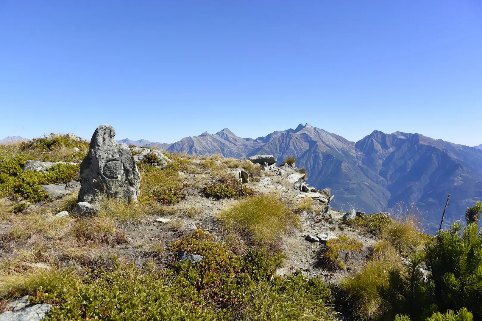
Mont Lyan, from Bellecombe

Access
From the motorway exit at Châtillon, turn left heading towards the town centre until you reach a first crossroads where you turn left again. Follow Strada Barat then Viale della Stazione as far as the subway over the railway line, after which turn left again, following signs for Ussel/Pery/Bellecombe. Continue on the little communal road, cross the Dora Baltea and reach the characteristic village of Ussel, known for its medieval castle. Continue on the communal road surrounded by chestnut trees until you reach the village of Bellecombe, where you will find a large free car park 🅿️ in front of the chapel of Saint Anne.
[0h17'] - [8.5km]
How to get there with GMaps
How to get there with Apple Maps
The directions given here were verified at the time of the route survey. Before setting off, it is advisable to ensure that no substantial changes have occurred on the route to the starting point. Therefore, we recommend the use of the satellite navigation apps provided by Google or Apple to obtain up-to-date and detailed directions.
Description
0h00' From the car park, take the dirt road that starts near the little church of Bellecombe, dedicated to Saint Anne. Proceed along the dirt road, turning left at a crossroads (1050m, 0h05'). Going up the pleasant chestnut and birch wood, you reach the junction with path , which should be ignored; continue straight on until you come to a metal barrier that prevents vehicular traffic (1110m, 0h25').
0h25' Continue along the dirt track that goes up the wooded slope with a series of twists and turns, some pleasant views of the Valtournenche peaks accompanying the walk, which is in itself a little boring in this section. After passing a section with a steeper incline, the road flattens out before reaching Mont Ros dèsot (1415m, 0h50').
On the left of the cottages, there is a signpost with directions to Mont Barbeston: join the path, which begins to climb up the forest in a diagonal ascent to the right. After an initial moderately steep section, you come to a small stream, which can be forded without any problems, and a gate (1485, 1h10'). Once past the gate, a small spring is found (useful for possible water supplies) and the climb begins again with greater intensity in the now completely coniferous forest. After a turn to the left, we come to the ruins of Biolasse (1600m, 1h30') and reach a short plateau crossed by a small stream. The trail tends to the right as it begins to climb again in the vicinity of Toule (1841m, 2h00').
Having left the path to Salé, which branches off to the right, we walk past a peculiar circular basin, used in the past to collect spring water, and begin the steep ascent to Col Goddet. The path rises considerably and ascends the steep slope between juniper and bilberry trees in a fairly sparse larch forest. Having passed the steepest section, the trail veers to the right as the view opens up to the final destination. At the end of the diagonal to the right, turn left to reach Col Goddet (2110m, 2h35') and the junction of the path (8B) coming from Hérin.
Turn left along a grassy track and then leave it, following a track that leads to the summit in a few moments.
Punti di Interesse
Collections
- escursioni con partenza da Bellecombe - sulla mappa
- escursioni a Châtillon - sulla mappa
- escursioni in media Valle d'Aosta- sulla mappa
- escursioni sui 2000 della media Valle d'Aosta - sulla mappa
- escursioni sui 2000 della Valle d'Aosta - sulla mappa
- escursioni sulle vette della Valle d'Aosta - sulla mappa