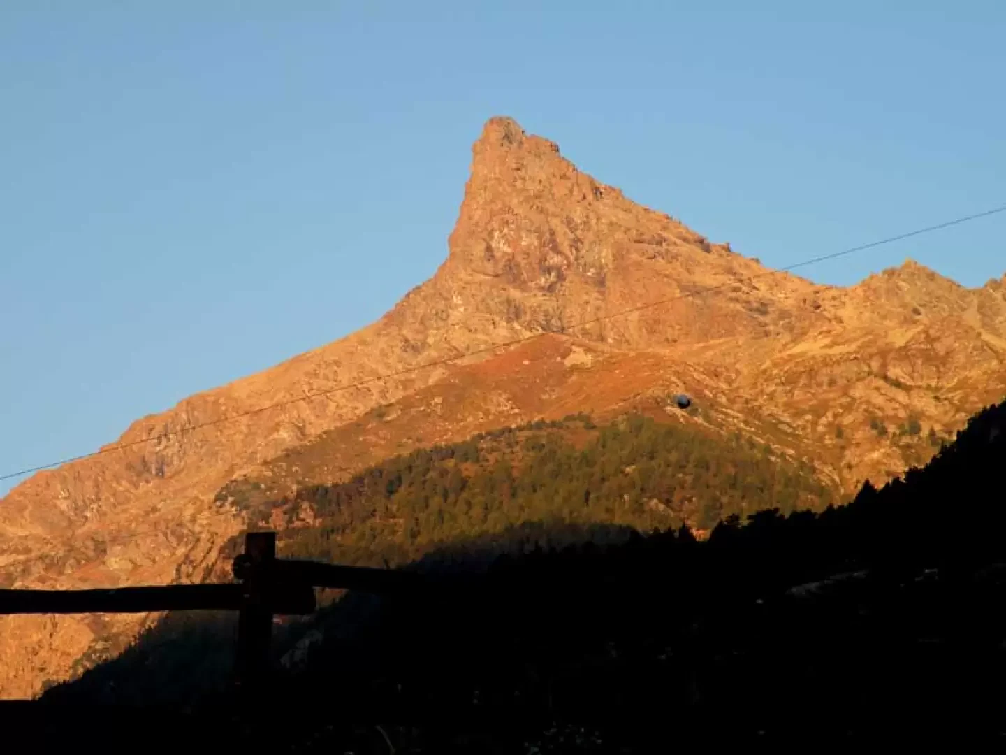
Mont Iverta, from the Blanchet car park

Edited by:
Giancarlo Beretta
Updated at: 21/06/2025
Access
From the motorway junction at Verrès enter the roundabout and take the third exit and take the Strada Statale in the direction of Aosta.After 450m at the roundabout take the first exit and continue on the statale for a further 1.3km. Turn left onto the strada regionale with signs for Valle di Champdepraz - Parco del Mont Avic. Go up the for about 10km before meeting the panel with the signs for the resort's main car park: turn left following the signs for Blanchet and Fusse and, after about 200m, park your car in the convenient free car park 🅿️.
[0h22'] - [11.5km]
How to get there with GMaps
How to get there with Apple Maps
In the summer period, July/August, there is a shuttle service to Chevrère (Covarey).
These indications are based on direct verification carried out at the time of surveying the route so the information should be checked before setting off on the hike. We recommend using a GPS navigator or a map app on your smartphone to get up-to-date and detailed directions.
Introduction
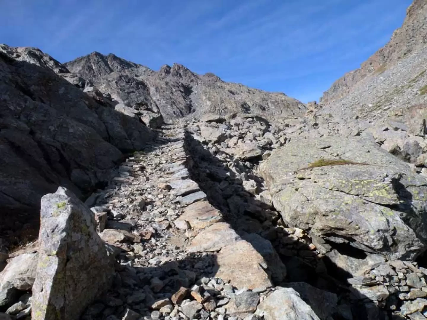
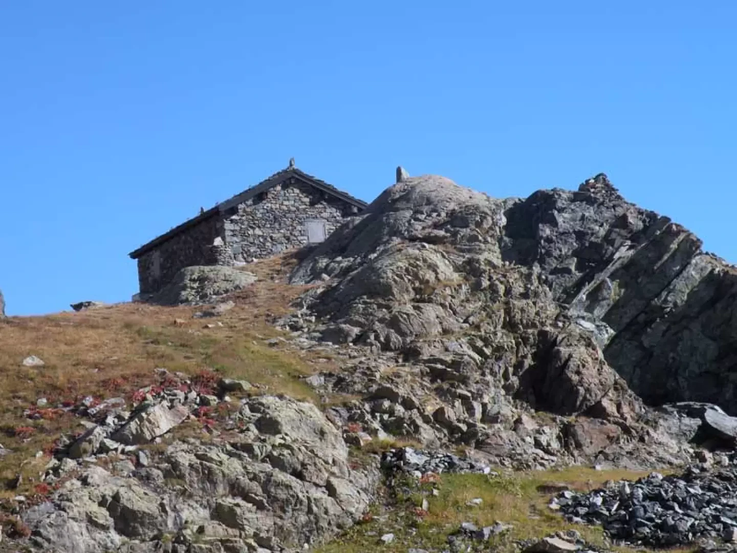
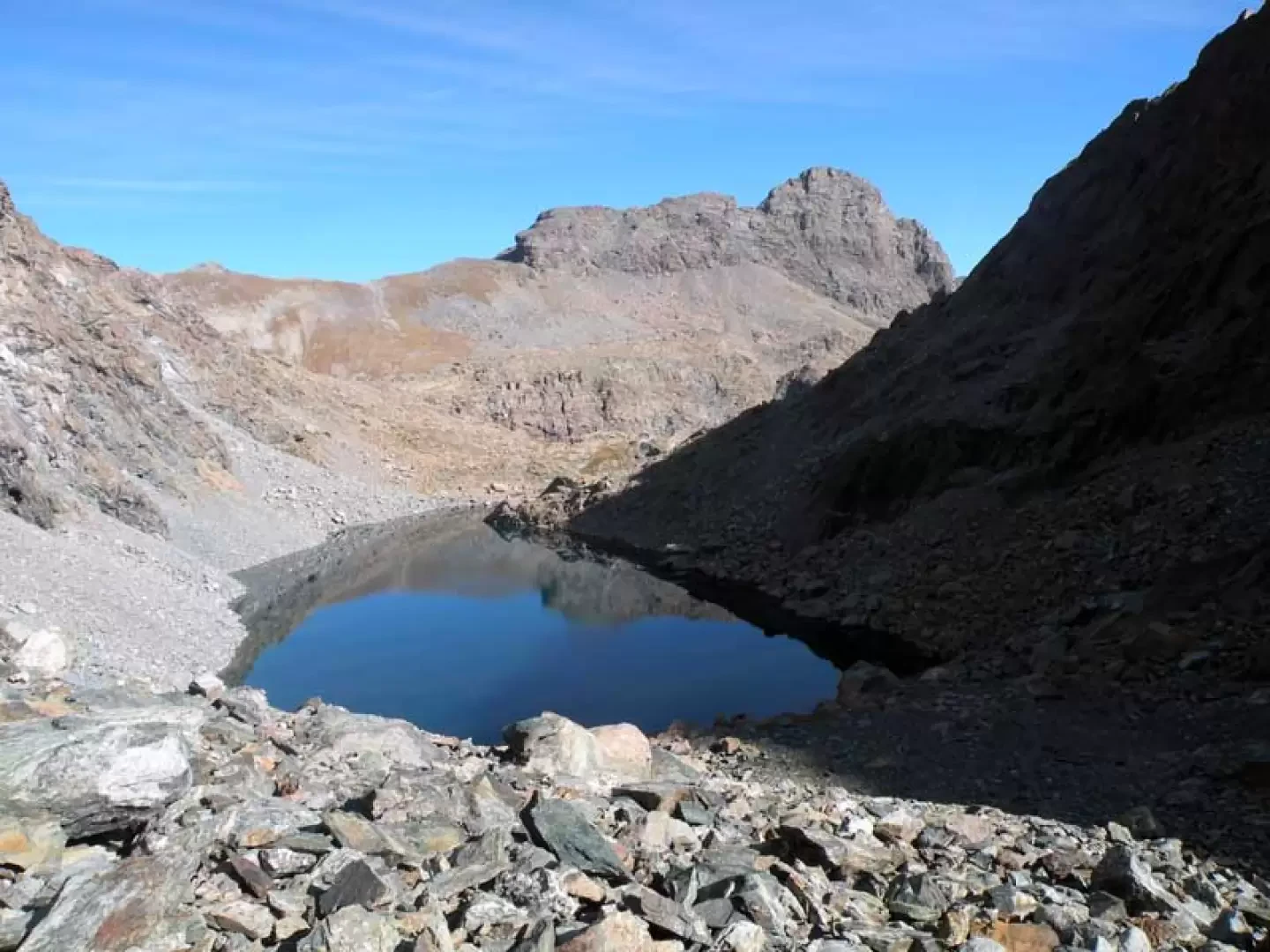
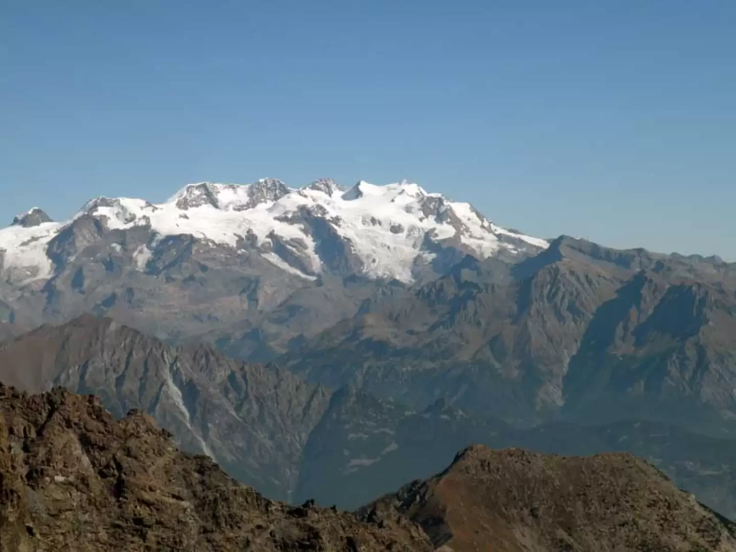
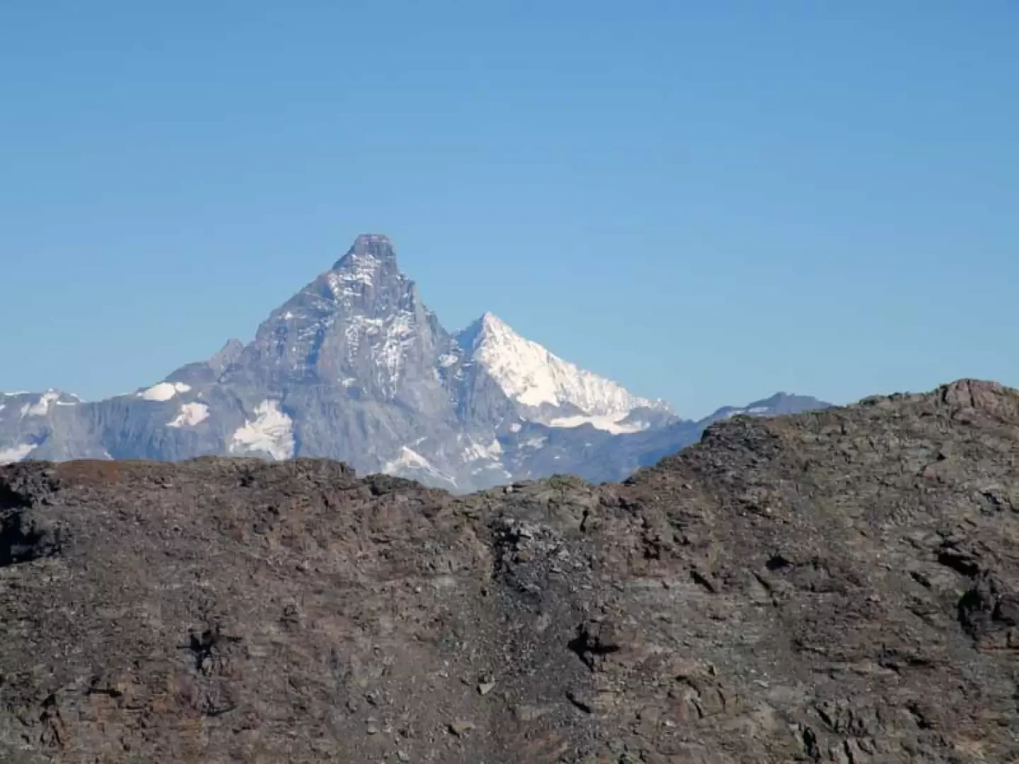
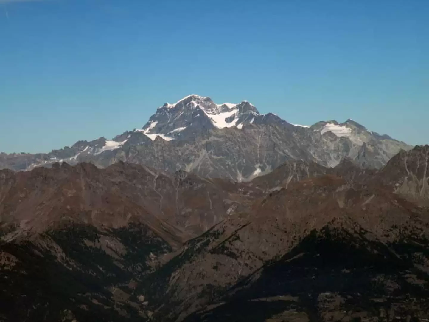
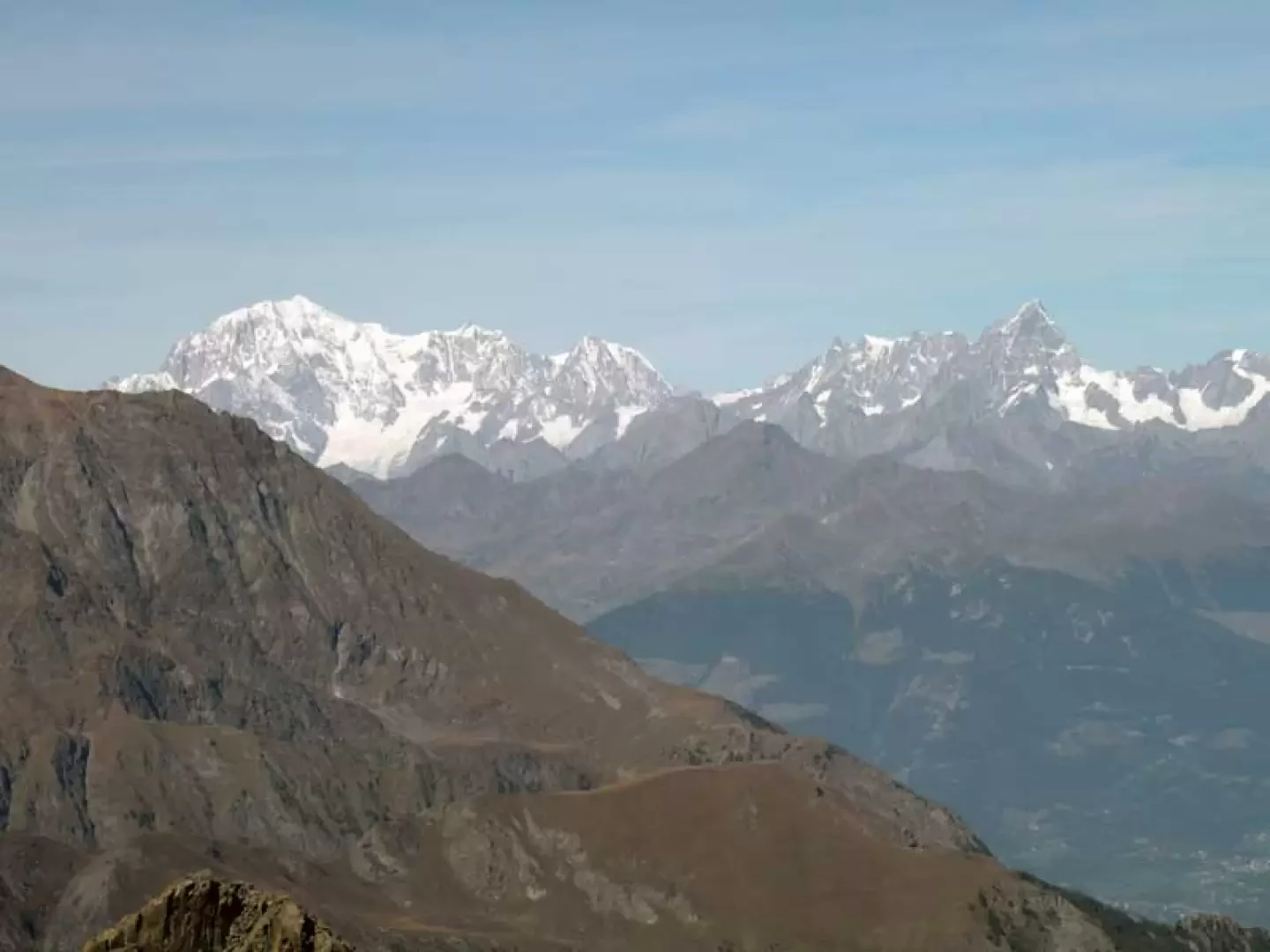
Mont Iverta is located on the western border of the park and offers an exceptional panorama of its peaks and valleys, with the view extending as far as the Rosa and Bianco groups, the Cervino and the Grand Combin; the high difference in altitude allows you to pass from the green pastures of Veulla to the beautiful coniferous forests and finally, arriving on stony ground characteristic of the high mountains, to the ruins of the old mines, which bear witness to the labours and industriousness of the valley dwellers with the nearby Lac Gelé. The ascent is well signposted up to the point where you have to turn off near Lac des Heures (the signposts and stone cairns have just been rebuilt), while beyond this you walk on sight on steep terrain with shifting stones and slippery soil; some maps indicate the presence of a track, but probably with the succession of thaws and rains it has practically disappeared, giving way to the signs of the trickles of water flowing downhill.
Description
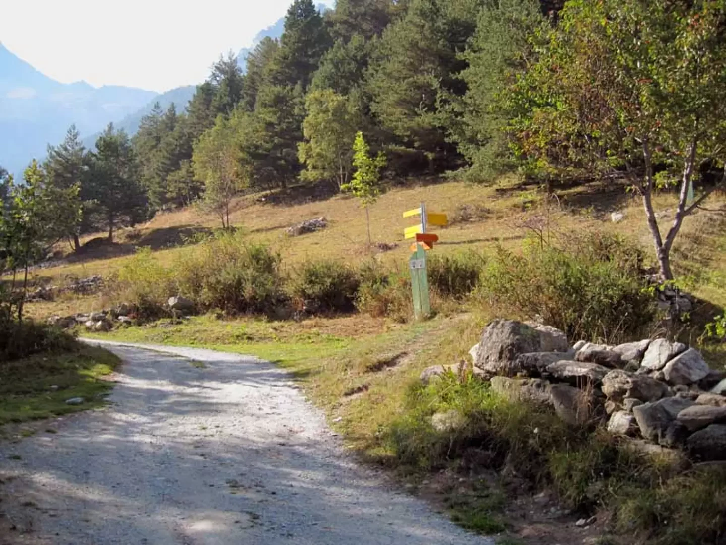
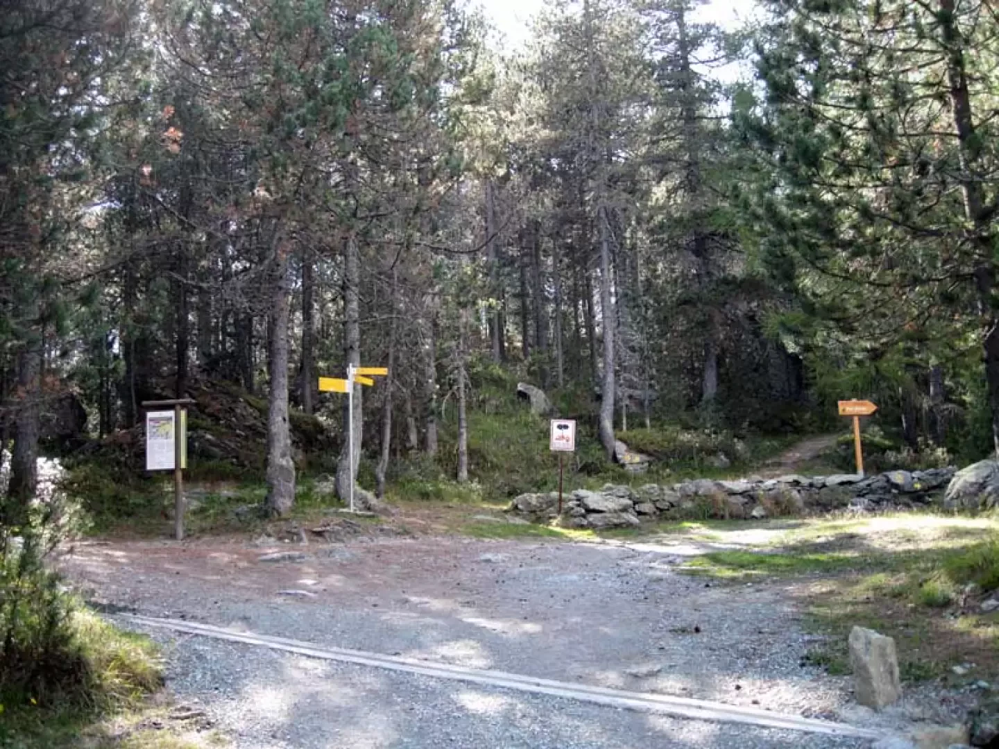
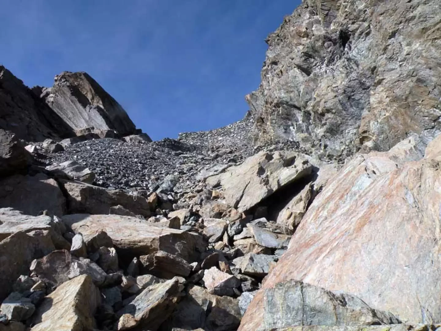
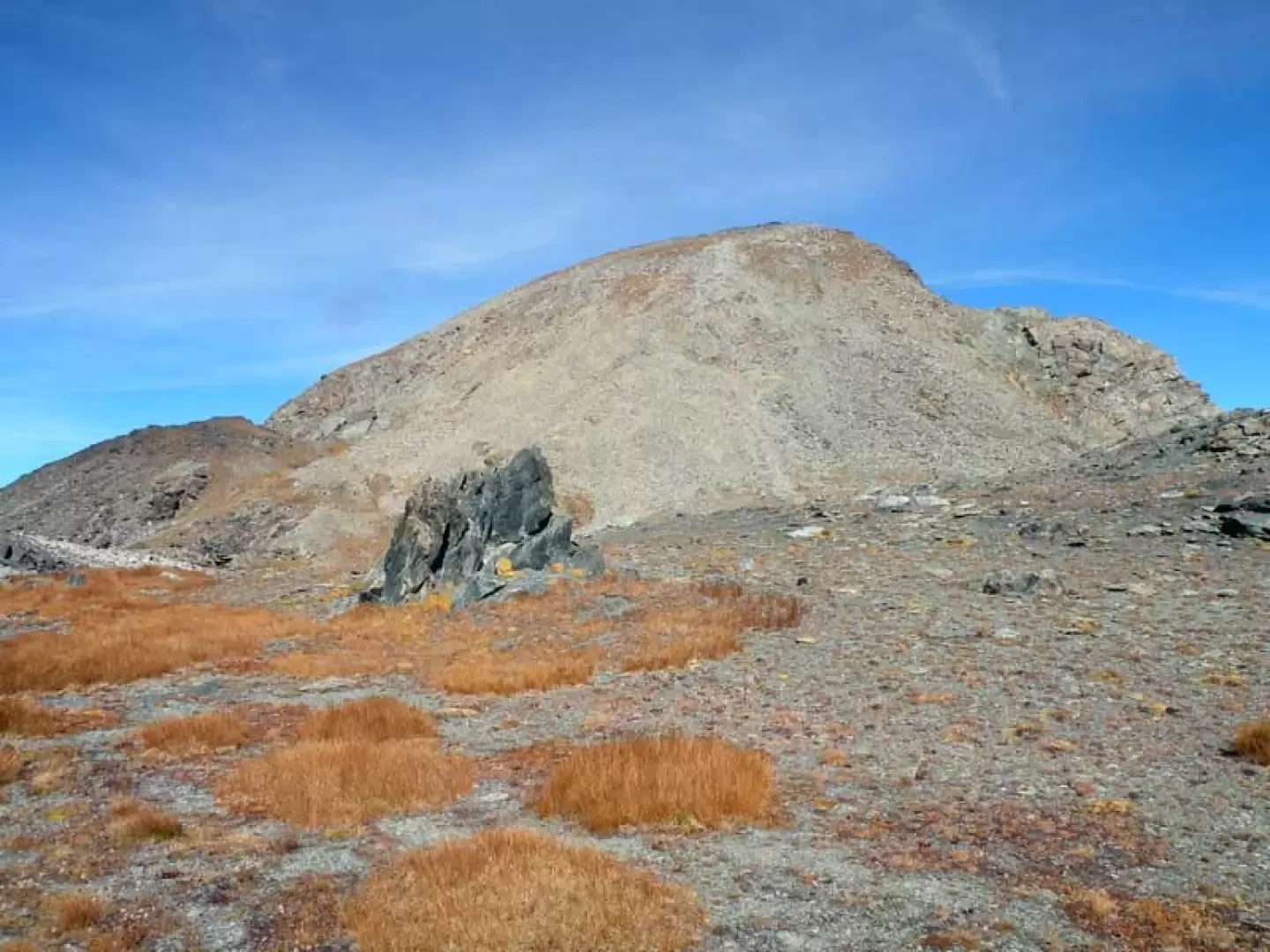
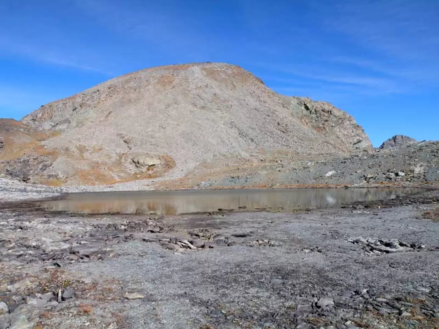
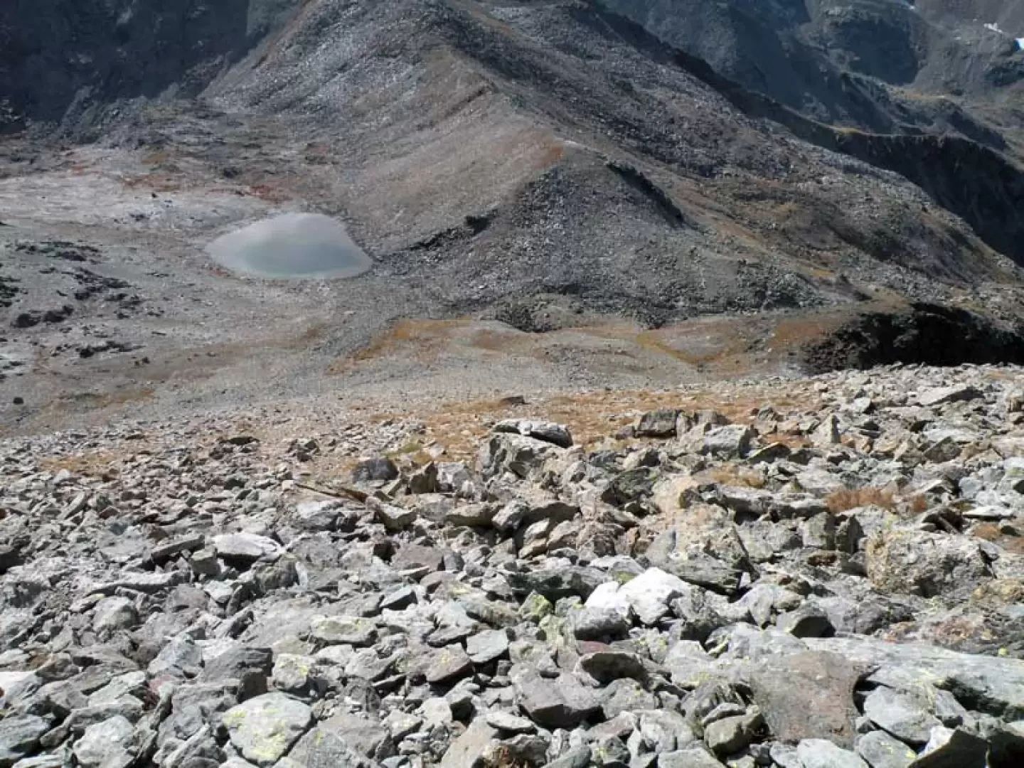
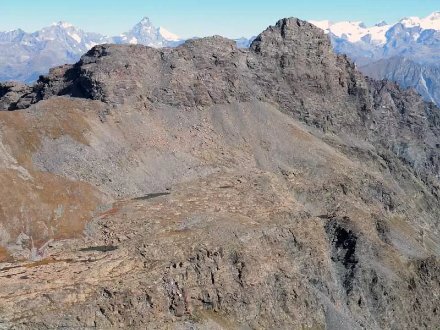
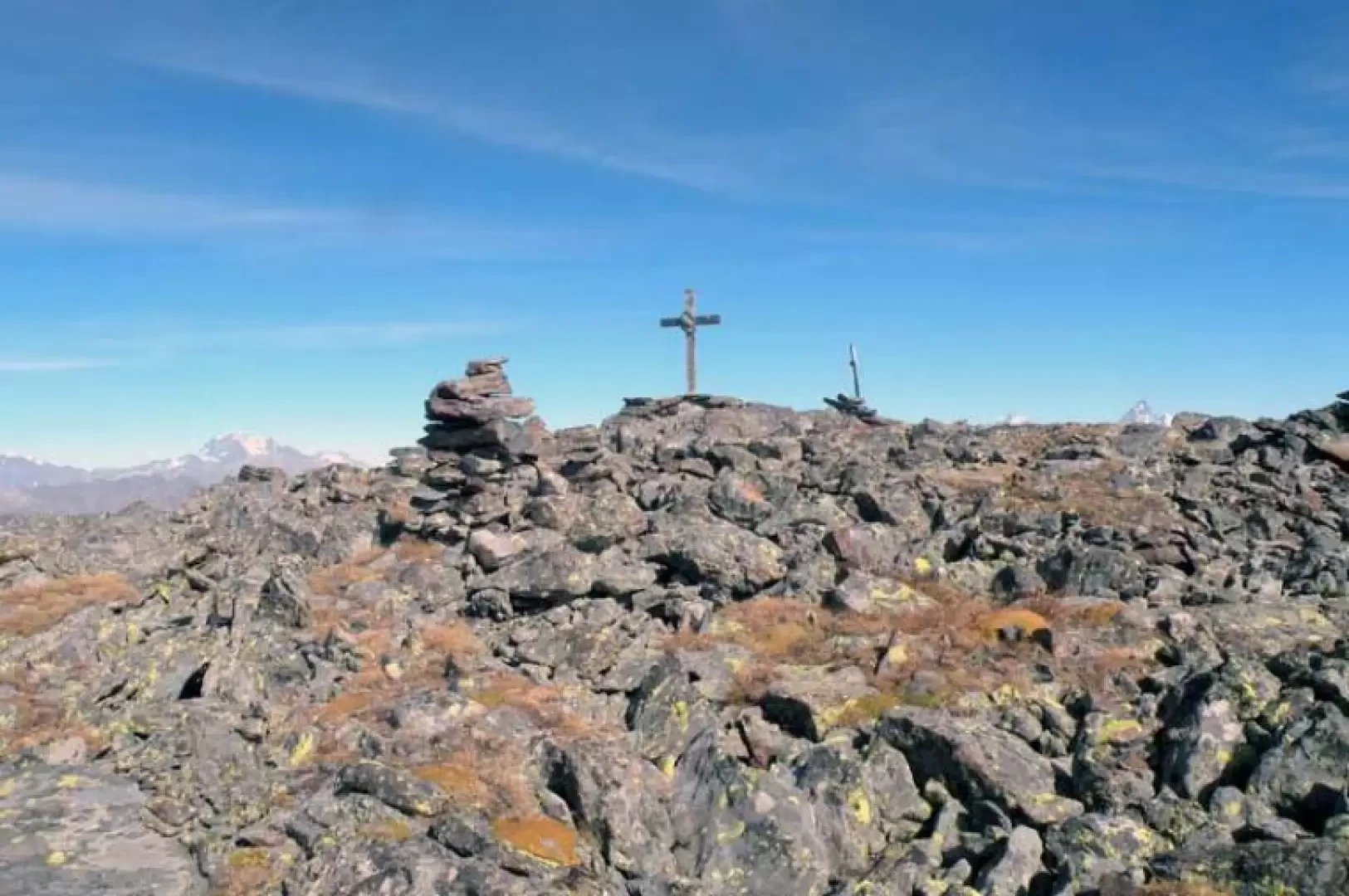
From the car park, go up a small paved road to the houses of Veulla, which you cross on the left, passing in front of the hotel and continuing on the paved road for a few dozen metres until you come to a square where only authorised or emergency vehicles are allowed to park. From this forecourt, take the paved road that rises to the right of the little church and enters the pastures, arriving almost immediately at a crossroads (1360 m) at which, ignoring the path that branches off to the right, we continue along the road that has now become a dirt track. The track follows the side of the mountain, entering a beautiful wood and passing a few streams; this brings us to a large clearing called the "warehouse" where there are the posts at a crossroads (1473 m). Having now left the dirt track, we continue on the path that continues ahead of us and that, with a more accentuated and continuous slope, rises with an almost straight path on the steep slopes of the mountain. At the exit of the forest, the path makes a few hairpin bends and heads towards an evident crevice, from which, taking a rest for a while, we come to a large scree slope; we cross it without any problems on an old but well-maintained stone mule track that, as we continue, moves to the left towards another col. After a few steep hairpin bends, climb up towards a high dry stone wall, beyond which you find the mule track that passes between the remains of the old mines; with a path that now becomes flat, continue for a few dozen metres, arriving at the shores of Lac Gelé (2600 m). From the shores of the lake, keep to the left to cross its emissary, following the path that, well marked also by cairns of stones, surrounds it as it rises towards the bottom of the basin; now you have to climb up quite laboriously, among the many stones, coming out at a hill that leads to a large plateau. Always following the clearly visible trail, you arrive in the vicinity of a large rock (2763 m) at which you turn right, passing to the left of the small Lac des Heures. From the large rock, there is no longer any path or signpost and so, without any obligatory route, you cross the plateau on large stones and head to the left of the steep slope of Mont Iverta, starting to climb it again by making a few zig-zags. The ascent continues laboriously on shifting stones and fine detritus, roughly following the Park's boundary markers; on a steep and constant slope, we thus reach the summit, which is only visible at the last moment and on which there is a wooden crucifix, with an artistic high relief on soapstone of Christ's face, as well as two large stone cairns and a small dry-stone shelter.
.Galleria fotografica