Mont Herban, from Cretaz
Access
Take the road as far as the Aosta barrier, which you pass and continue to the next exit, Aosta Ovest/Cogne. Take the regional road to Cogne and, just past the hamlet of Cretaz, turn decisively right to almost turn back and follow the downhill road that approaches the Grand Eyvia stream where, near a bridge, you will find the car park.
.Introduction
A long hike with a considerable difference in altitude that takes place in an area of the Gran Paradiso National Park that is one of the most renowned for its wildlife habitats and sightings (chamois sightings are also possible in the forest just above Crétaz). Most of the route is on footpaths, except for the last 500m of elevation gain, which is on steep and scenic pastureland.
Description
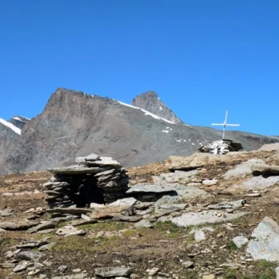
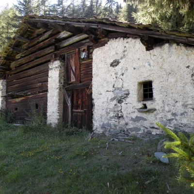
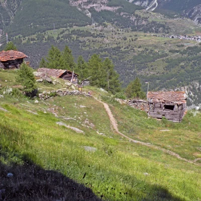
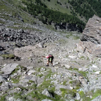
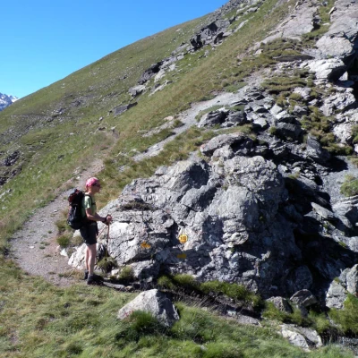
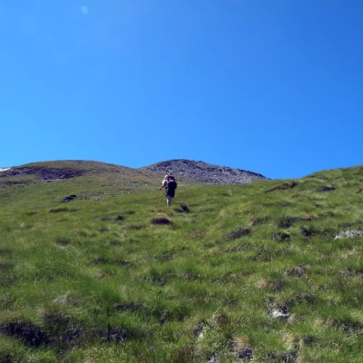
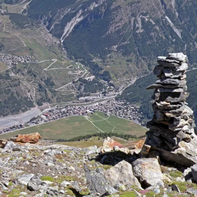
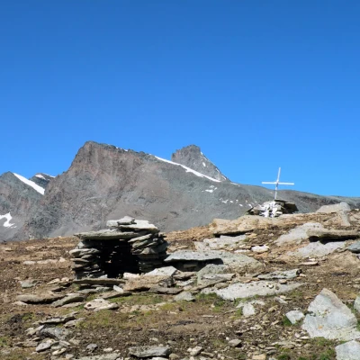
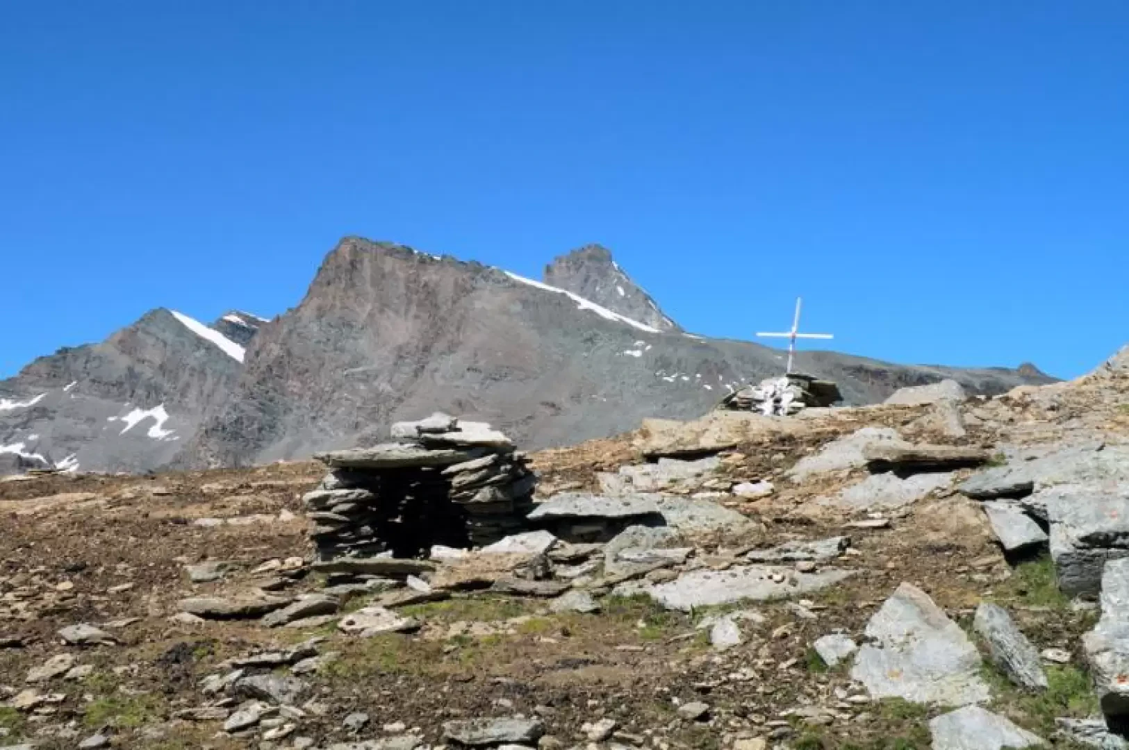
From the car park, we cross the Grand Eyvia stream on the bridge and head towards a large tourist board with several signposts next to it, from where we begin the ascent, first across a short pasture and then into a beautiful coniferous forest where we soon cross a stream. The slope, which is immediately steep, allows us to quickly gain height, passing by the Ronc huts (1663m) and, with an excellent track, continues fairly steeply with wide hairpin bends until we reach Les Ors desot and, after a few minutes, the scenic Les Ors dessus mountain pasture (1944m), which is located at the beginning of the pastures of a wide valley. Continue the ascent to the right of the valley (orographic left) and, climbing up with comfortable hairpin bends, leave the bottom of the valley to climb up the flank where you will first find the crossroads leading to Pousset, which you leave to the right, and gaining further height, you will come to the one leading to Colle della Rossa. At this crossroads, turn left to skirt the wide base of the scree that descends from Mont Herban and, after passing a couple of small streams, reach the beginning of the gully-column that ends at a col. We ascend the latter, at first with wide hairpin bends that turn towards its end into steep and tiring narrow bends, walking however on a track that is always clear of gravel and earth, which would become a little treacherous in the rain. Having reached the col (2432m) that separates the Pointe de l'Ouille from the eastern crest that descends from Mont Herban, where there is a fine view of the village of Cogne, continue along the easy path that, heading westwards, contours the green flanks of the Herban. It is best to follow it for only a few hundred metres until you pass the first steep grassy ridges, and when on your right you see the scree above the meadows that have now lost their slope, it is best to begin the ascent. From here on, one must proceed by sight, passing through the less steep spots. You begin on large clods of grass that go up the steep pastures and, trying to find the most convenient passages, you climb up quite laboriously, gradually deviating to the left to pass under the area of scree. Avoiding these and deviating ever so slightly to the left, you head decisively towards the summit, which is reached by ascending a final, slightly steeper slope. From the summit cross, the panorama to the south is simply stupendous, stretching from Punta Fenilia to Gran Paradiso and northwards from the Grivola peaks to Pousset. It is also worth descending a few metres to the east to reach a large stone cairn from which there is a spectacular view of Cogne.
