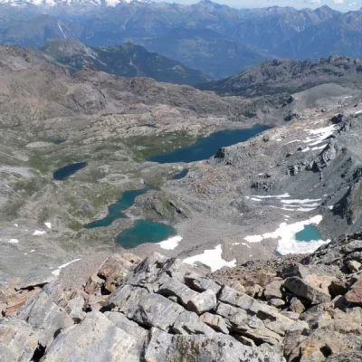
Mont Glacier, from Chardonney
Profile image

Edited by:

Last survey: 19/06/2001
Difficulty
T3
Length
0.00 Km
Departure altitude
2107 m
Arrival height
3186 m
Round trip time
03h00'
Return time
02h00'
Recommended period

Access

Leaving the A5 motorway at the Pont-Saint-Martin toll booth, after 100m turn left to follow the state road SS26 in the direction of Aosta. After 500 metres, at the roundabout, take the second exit and continue on the state road for 3 kilometres to the next roundabout. Take the second exit and follow the regional road SR2 in the Champorcher Valley. Continue on the regional road for 14.7 kilometres up the valley and through the villages of Hône and Pontboset before reaching Château, the centre of Champorcher. Neglect the road to the right for Dondena and continue for another 1 kilometre or so until you reach the large car park at Chardonney 🅿️ where you can leave your car.

[0h32'] - [22.2km]
How to get there with GMaps
How to get there with Apple Maps

The directions given here have been verified as of the date the route was surveyed. Before setting off, it is advisable to ensure that no substantial changes have occurred on the route to the starting point. We therefore recommend the use of the satellite navigation apps provided by Google or Apple for up-to-date and detailed directions.

Introduction

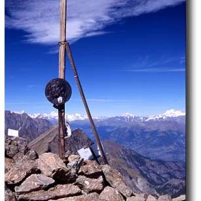
Those who have visited the Champorcher valley will certainly have come across this mountain. A three-thousand metre peak that can be climbed without major difficulties, but which should not be underestimated: it is still a three-thousand metre peak. The climb presents some minor difficulties in the final section, accentuated in less than optimal weather conditions. At the summit, the panorama is simply stupendous.

Description

From Chardonney, cross the bridge over the Ayasse on the large, recently restored royal mule track. A little further on, it leaves a marked path on the right, "la Scaletta", which climbs the meadowy shoulder dividing the Vallone di Laris from the Conca di Dondena, then approaches the stream between sparse larches. It crosses it at Pont Ravire and continues on the orographic left bank, inside the spruce and larch woods, with some very steep and stepped passages. Continue inside the narrow valley, crossing a few tributary streams of the Ayasse, until you reach the plateau with the Creton and Brenvey alps, where the Strada Reale (1926m) also joins.
Continue on the service track just below the rocky bars of the Bec de Raté and, a few metres before joining the road to Dondena, take the path to the left. This crosses the entire meadow terrace while remaining below the farm road and reaches the fertile pastures of the Conca di Dondena, dotted with numerous stone buildings. We continue on the small road that is forbidden to traffic and climbs in two wide bends to the Dondena hut (2186m).

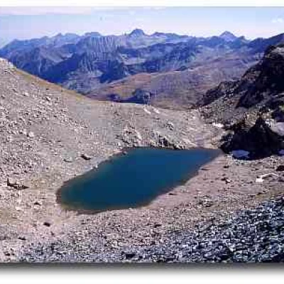
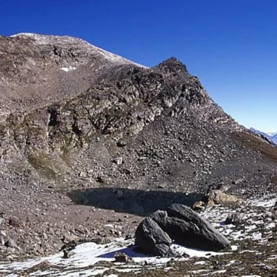
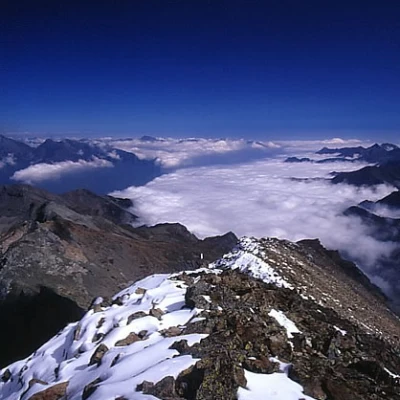
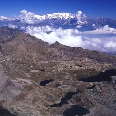
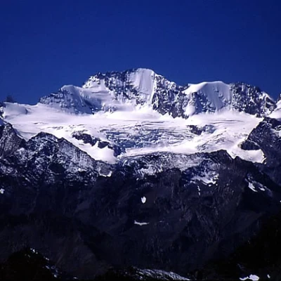
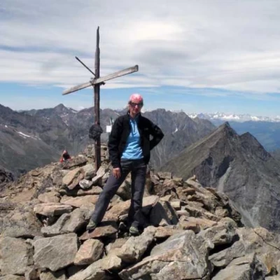
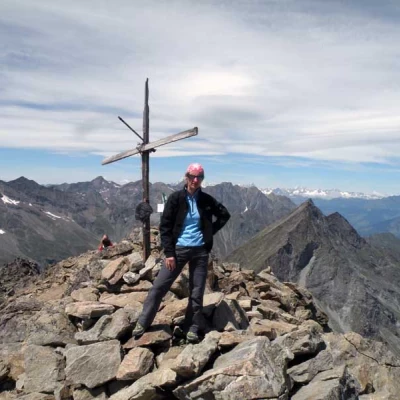
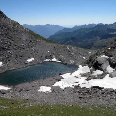
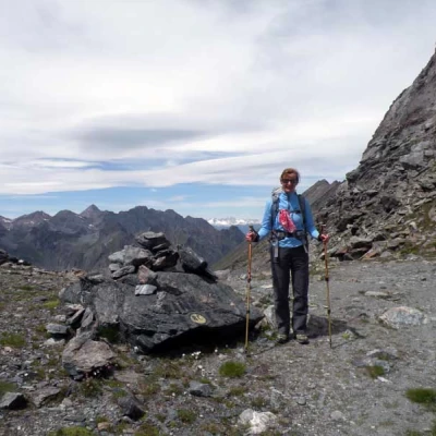
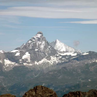
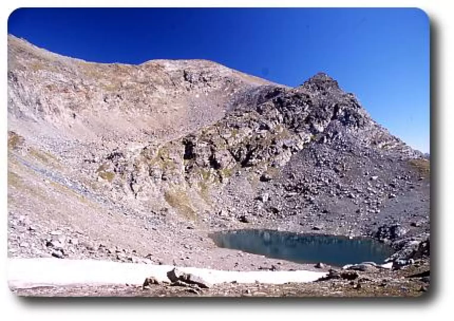
From the hut, we catch a glimpse of our destination and the nearby Mont Delà (3139m). Leaving the refuge behind us, we continue marching along the farm road that normally leads to Lake Miserin. After about 45 minutes of walking, we reach a clearing, where the Ayasse stream widens out and can be crossed over a small wooden bridge that we will find on our right. So as not to make a mistake, this passage is signposted. After crossing the bridge, continue on the path, which is only indicated as such at the beginning: during the ascent, only yellow arrows will be encountered as far as Col Fussy. After a few dozen metres from the bridge, on a boulder, two directions are indicated: taking the one on the left, which will cross the clearing, you will take the normal path, while, for the more hurried or steep walkers, on the right you will take the shortcut. Following the normal path, you will cross the slope to Lago Gelato with wide zig-zags that considerably reduce the walking slope but considerably lengthen the walking time. After about 1h 50', after crossing a small valley, you will reach Lake Gelato (or Lac Gelé) at 2824 m altitude. After passing the lake, it takes about 10 minutes to reach Col Fussy (2910 m), where we find the signpost for the trail that will take us to the summit of Mont Glacier. From the Col you can also attempt the ascent of Mont Delà (3139 m), but remember that there is no beaten path to the summit. Furthermore, from Col Fussy you can descend into the Clavalité valley. From the col, take the path to the right: the trail is quite clear but crosses scree and, at the beginning of the season, it is easy to encounter a lot of snow. The ascent of the last section takes about an hour. From the summit, you can enjoy an incomparable panorama: to the north-east, you can admire the entire Mont Avic Regional Park area, with its various lakes; to the south and south-west, a splendid view of the Champorcher valley and Lake Miserin and the Rosa dei Banchi. But the panorama of all the most important peaks in the Aosta Valley is also considerable. The descent is along the same path as the ascent. 

.
Galleria fotografica

© 2021 - Massimo Martini
MarkerMarker
8
4
12
2
6
10
14
MarkerMarkerMarkerMarkerMarkerMarkerMarker
Leaflet Dati: © OpenStreetMap-Mitwirkende, SRTM | Base: © OpenTopoMap (CC-BY-SA)
02468101214km2,2002,4002,6002,8003,000m
We have been there
Profile image

Edited by:

Mont Glacier, from Chardonney
domenica 16 giugno 2024

Mont Glacier

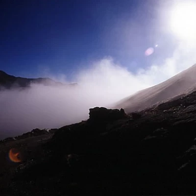
Pericolo oggettivo: Basso Tratti esposti: Nessuno Segnavia: - , , Tempo complessivo: 6h00' Tempo di salita: 3h30' Tempo di discesa: 2h30' Quota alla partenza: 2110 m (Parcheggio Dondena) Quota alla meta: 3186 m (Mont Glacier) Dislivello: 1076 m Max quota raggiunta: 3186 m (Mont Glacier) Lunghezza percorso: Punto GPS (UTM 32T): Esposizione: Est, Sud Periodo consigliato: giugno, luglio, agosto, settembre, ottobre Acqua : Bibliografia: L. Zavatta, I Monti di Aosta, l'Avic e Champorcher, L'Escursionista Editore, Rimini, 2001 N.Finco - L. Zavatta, Parco Naturale Mont Avic, L'Escursionista Editore, Rimini, 2006 SUCAI Torino, In cima: 78 normali nel Gran Paradiso, Blu Edizioni, Torino, 1998 P.Giglio - M.Giglio, Valle d'Aosta oltre il sentiero, CdA, Torino, 1993 ed edizioni successive Cartografia: Parco Naturale Mont Avic, L'Escursionista Editore, Rimini, 2006 Introduzione Il Mont Glacier è la vetta principale della Valle di Champorcher e già questo ne rende meritevole la salita. Poi c'è il panorama assolutamente splendido che spazia dal Gran Paradiso da un lato al Rosa e Cervino dall'altro, con i laghi dell'Avic ai piedi del versante Nord. E ancora il dislivello, che resta contenuto per una vetta di quasi 3200 m, e le difficoltà, a meno di trovare innevato il percorso sopra il lago Gelato, praticamente inesistenti. Tutto quanto a rendere la gita rilassante e piacevole soprattutto nelle limpide giornate di tarda estate quando la montagna riacquista la solitudine e il silenzio. Avvicinamento All'uscita del casello autostradale di Pont-Saint-Martin si svolta a sinistra e si imbocca la strada statale 26 sino a Bard; poco dopo si svolta a sinistra imboccando la strada regionale 2 per Champorcher. Si risale tutta la valle di Champorcher e sino al capoluogo, subito dopo si prende sulla destra la strada che porta al villaggio di Mont Blanc e prosegue poi in direzione di Dondena. La strada diviene sterrata e risale una buona parte del vallone sino a raggiungere i pascoli sottostanti Dondena: qui si può lasciare l'auto ai bordi della strada. Per chi proviene dall'alta valle si consiglia l'uscita dall'autostrada a Verrès, si svolta a destra imboccando la strada statale 26 sino al bivio per Champorcher. Superata la località Château si svolta a destra seguendo le indicazioni per Mont Blanc: si incomincia a percorrere un lungo tratto di strada, dapprima asfaltata e poi, dopo Mont Blanc, sterrata che ci condurrà sino nei pressi di Dondena: qui si può lasciare l'auto avendo cura di parcheggiarla bene in quanto non esiste un vero e porprio parcheggio. Descrizione Da Dondena si attraversa il corso d'acqua e si sale direttamente per sentiero nel vallone principale, senza seguire la strada sterrata che passa dal rifugio privato Dondena, ma ricollegandosi ad essa più oltre. Raggiunto il primo pianoro, si lascia il sentiero per Miserin e si scende leggermente nuovamente ad attraversare il torrente. Si sale ora lungamente a tornanti sul fianco meridionale del Mont Delà fino a raggiungere il lago Gelato dove il sentiero si perde. Si aggira allora in alto il lago sulla sinistra, e per una rampa detritica, al di sopra di una costola rocciosa, si raggiunge la cresta a destra della cima, e da questa senza alcuna difficoltà la cima stessa. Galleria fotografica Nebbie mattutine a Dondena Mare di nebbia in VdA Laghi dell'Avic, Cervino e Rosa Gran Paradiso dalla vetta
giancarloberetta

Edited by:

Mont Glacier, from Chardonney
domenica 16 giugno 2024

Mont Glacier

Il ponte sul torrente, dopo il rifugio, è attualmente crollato ed inagibile; nessun avviso alle paline dell'inizio dell'itinerario ma solo un foglietto sulla porta del rifugio e comunque il corso d'acqua è facilmente guadabile cercando il miglior passaggio sulle pietre. La traccia oltre la pietraia si perde un po' con i canalini di discesa dell'acqua ma non si può sbagliare puntando anche senza percorso obbligato alla larga insellatura; in questo tratto si trova terreno sdrucciolevole. Meteo e panorami eccezionali!
Profile image

Edited by:

Mont Glacier, from Chardonney
domenica 16 giugno 2024

Mont Glacier

Login to post