Mont Fourchon, from Baou

Edited by:
Massimo Martini
Updated at: 07/07/2025
Access
Leaving the motorway at the Aosta Est toll booth, turn right and take the dual carriageway to follow for 8.4 kilometres. At Signayes continue straight on the state road, passing the villages of Gignod, Etroubles and Saint-Oyen until you reach, after 24.5 kilometres, the junction for the Colle del Gran San Bernardo. Turn right and drive up the road for a further 12.6 kilometres before reaching the Baou alpine pasture and its parking area 🅿️ free of charge. The car park is dedicated to the clients of the refreshment point and is usually very crowded: it is advisable to arrive early so as not to have to find parking on the pass.
[0h43'] - [37.10km]
How to get there with GMaps
How to get there with Apple Maps
The information provided here has been verified as of the date the route was surveyed. Before setting off, it is advisable to ensure that no substantial changes have occurred on the route to the starting point. We therefore recommend the use of the satellite navigation apps provided by Google or Apple for up-to-date and detailed directions.
Introduction
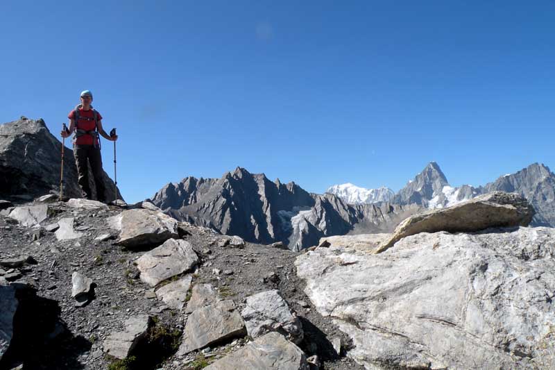
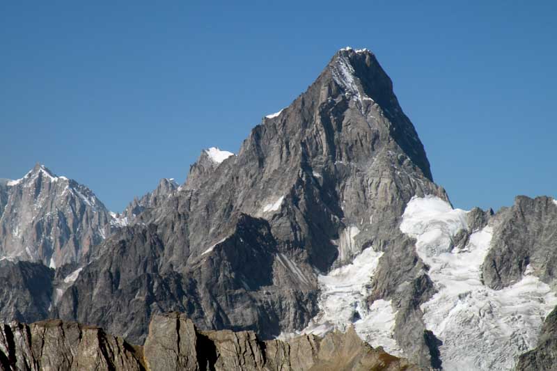
Short walk in the wilderness on footpaths: the arrival at the summit amply repays the effort with its exceptional views of the Grandes Jorasses and the Grand Golliaz.
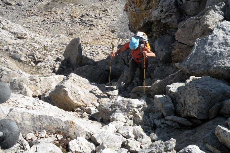
Slippery terrain in the final part of the ascent
Exposed sections: some passages in the final stretch
Description
0h00' 0.00km From the car park head towards the signposts showing the main itineraries to be followed in the area and take the dirt track that leads to the Baou mountain pasture-restaurant (2369m) until you come to the junction with the path.
0h02' 0.03km Take the path on the right and follow it halfway up the hillside between the pastures towards the sharp Tour des Fous (2576m) before turning right again to enter a small valley furrowed by a small stream that must be forded at an altitude of about 2400m. Continue on the orographic right of the valley up the grassy slope interspersed with stretches of rocky outcrops on the easy and obvious path around the rounded summit at an altitude of 2556m until it enters the beautiful grassy basin at the foot of the Tête Fenêtre (2823m) and the junction for the Fenêtre de Ferret (2495m).
0h20' 0.54km Continue on the path to the left
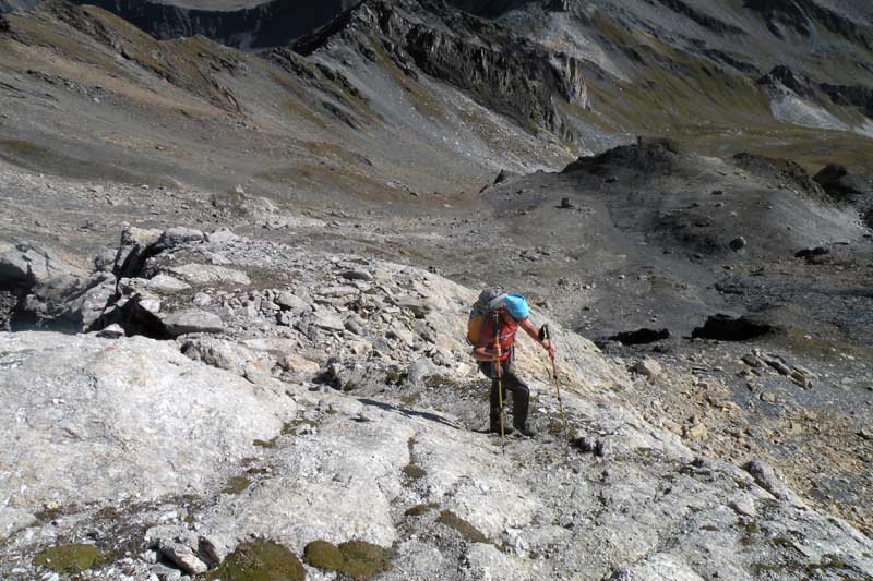
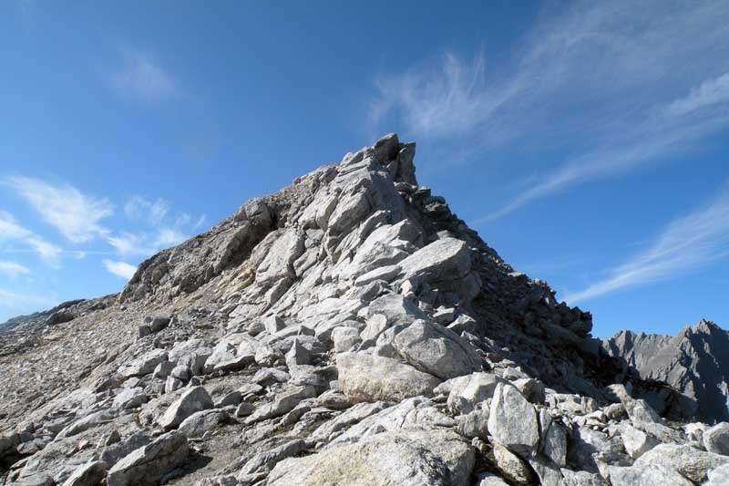
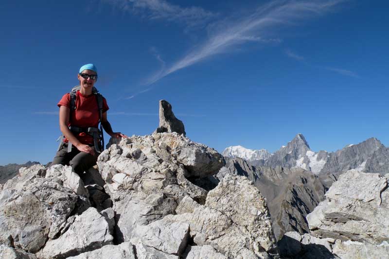
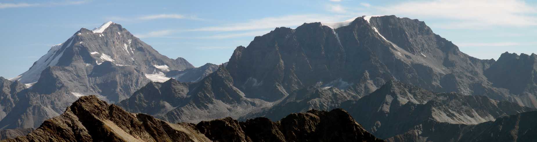
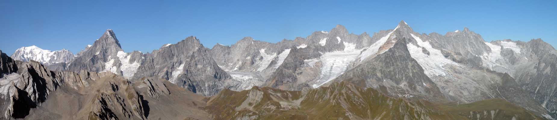
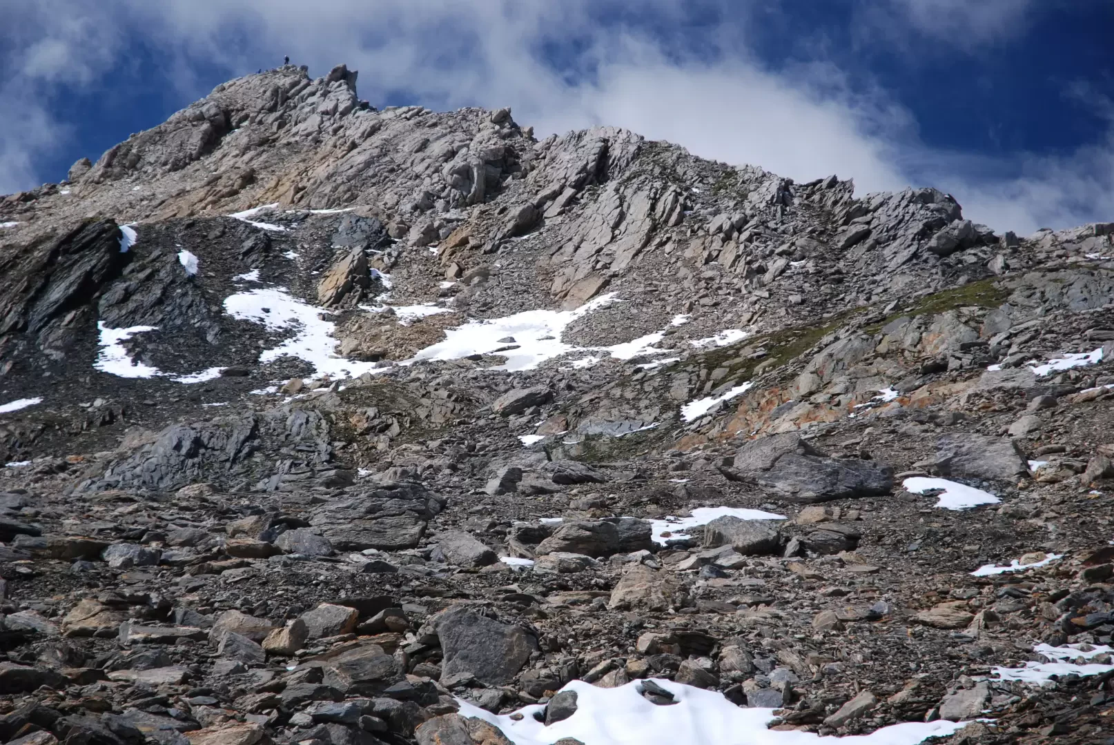
Go up the prairie on the easy path in the sight of the rocky outline of the Pain de Sucre; after a few minutes' walk, you will reach a pleasant plateau with a small lake (2582m) opposite the Tête Fenêtre (2823m). Continue to the left, leaving the prairie and starting to take the path over the macereto. Follow the path to the mouth of a wide gully, ascending it to the wide cirque extending from Pain de Sucre and Mont Fourchon. The path begins to get lost among scree and small snowfields (present until late in the season), so it is best to follow the cairns, heading west towards the wide saddle between the Pain de Sucre (2900m) and Mont Fourchon: following a non-obligatory path, go up the scree ridge to the saddle. After ascending this last section, you reach the scenic summit of Mont Fourchon (2902m, 1h30'). From the summit, there are unparalleled views of the Grandes Jorasses, Mont Dolent and Grand Golliaz on one side and the Great St Bernard Pass, Mont Velan and Grand Combin on the other.
The descent is along the same route as the ascent (1h00').
Points of Interest
Collections
- hikes starting from Baou - on the map
- hiking in the Great Saint Bernard Valley - on the map
- hiking in the 2000s in the Aosta Valley - on the map
Riferimenti Bibliografici
- Gran San Bernardo, Valpelline e Conca del Fallère - Zavatta Luca, L'Escursionista Editore, Rimini, 2004 -
Mappe
We have been there
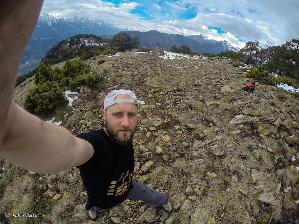
Edited by:
Fabio Bertuzzo
Mont Fourchon

Edited by:
Giancarlo Beretta
Mont Fourchon
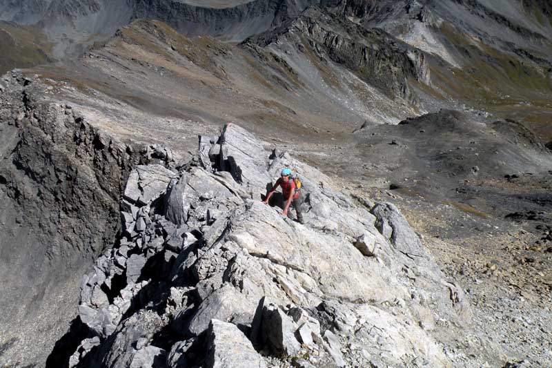
Percorsa la breve ma divertente cresta NE che alterna tratti di buona roccia ad altri, brevi, di terriccio instabile. Qualche ometto sulla cresta anche se il percorso è logico ed intuibile; un solo passaggio un po' impegnativo sull'ultimo risalto roccioso anche se per il resto, meno impegnativo, è necessario l'uso delle mani. Avvistamenti faunistici: Capra ibexPercorsa la breve ma divertente cresta NE che alterna tratti di buona roccia ad altri, brevi, di terriccio instabile. Qualche ometto sulla cresta anche se il percorso è logico ed intuibile; un solo passaggio un po' impegnativo sull'ultimo risalto roccioso anche se per il resto, meno impegnativo, è necessario l'uso delle mani. Avvistamenti faunistici: Capra ibex