Mont de Corquet, from Les Druges Hautes

Edited by:
Massimo Martini
Updated at: 02/07/2025
Introduction
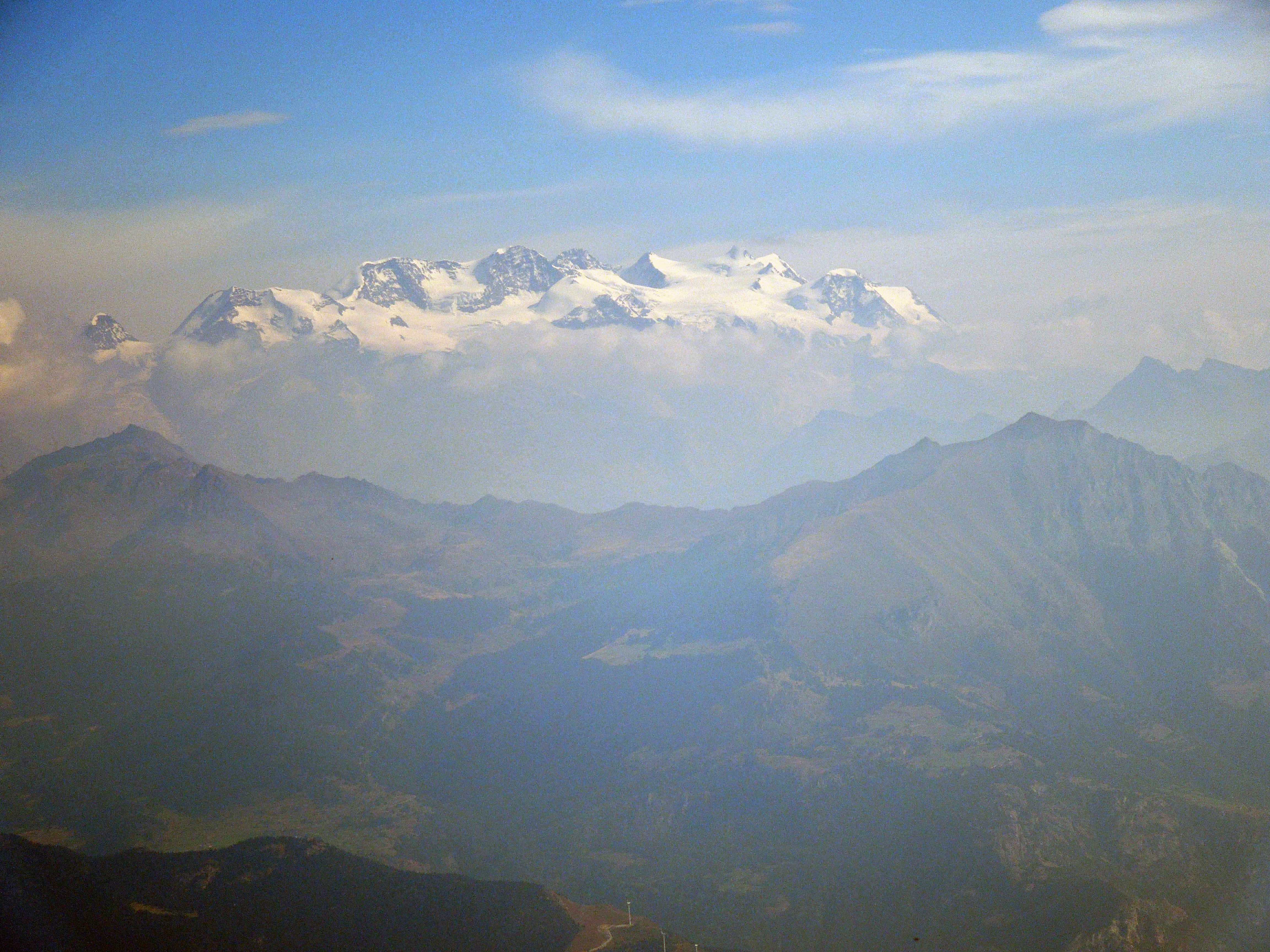
The Mont de Corquet is located on the southern heights of the commune of Saint-Marcel and represents a very interesting vantage point in the centre of the Aosta Valley: from Mont Blanc to Monte Rosa without interruption.
Description
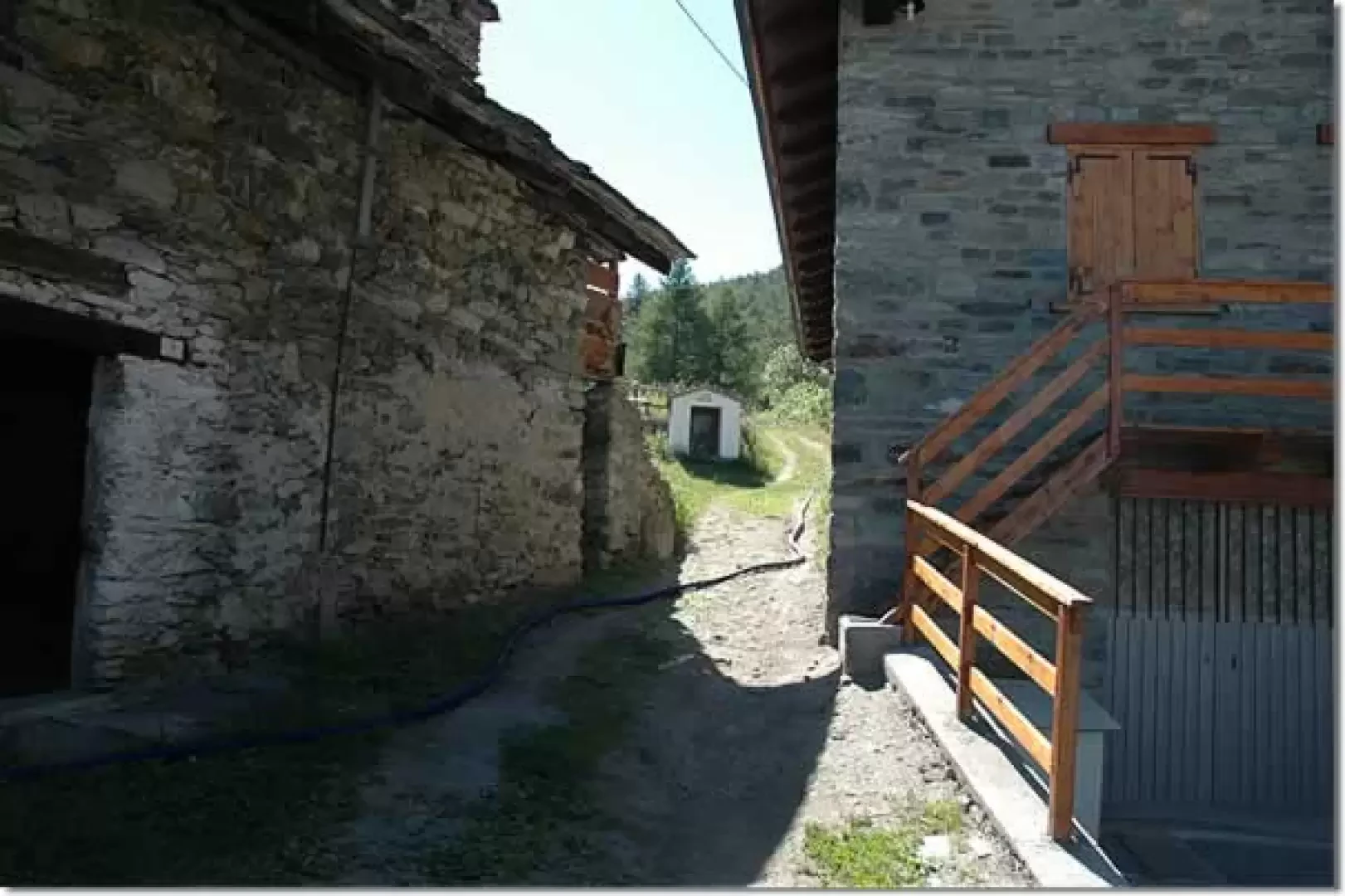
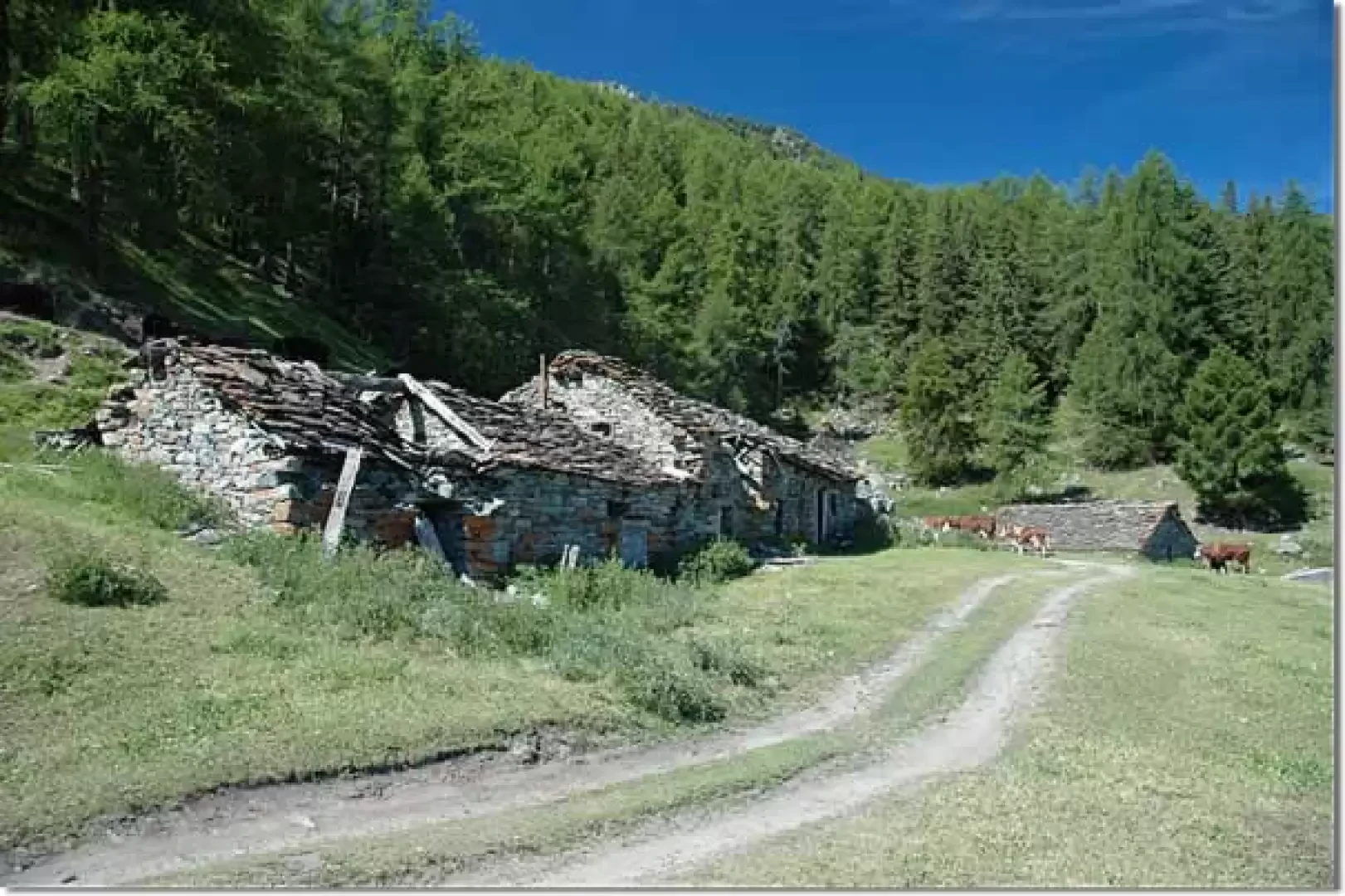
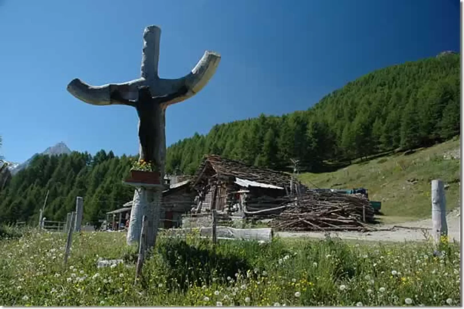
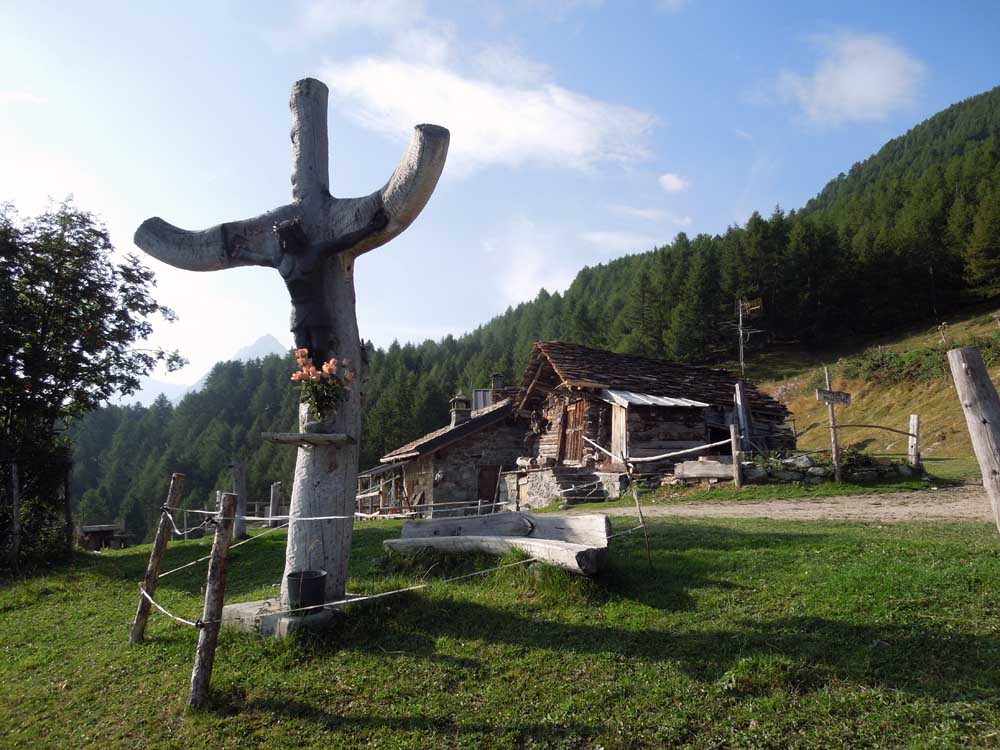
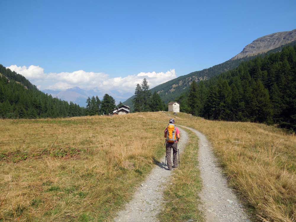
We start walking from le Druges Altes (1615m): near a fountain, a small farm road starts out, passing through renovated houses that soon leads to a votive shrine dedicated to Saint-Bernard. Continue straight ahead, skirting some vegetable gardens and entering the dense forest of larch and spruce; after a couple of short hairpin bends, where the little road becomes steeper, it joins the farm road (1665m, 0h10'), which we follow as far as Prapremier. After a short flat stretch, we pass a couple of hairpin bends and come to a small wooden chalet (1,700m, 0h10'); we continue through the forest along a straight stretch until we reach a post: here the road turns right and soon reaches the characteristic alpine pastures of Fontaine Froide (1,815m, 0h30'): from this enchanting alpine corner we can enjoy a splendid panorama of the Cervino and the Monte Rosa massif. We pass the cottages with a turn to the left and enter the forest, continuing to climb until we reach a small flat clearing where we come across a wooden post indicating the Bren alp: from here we begin to catch a glimpse of our destination. We now proceed along a straight stretch that soon reaches pastureland again, where the view of the distant eastern peaks of the La Clavalité valley opens up magnificently: a short steep climb leads us to Bren Alp (1960m, 0h45') and its characteristic wooden Christ.
After the village, we continue along the road slightly uphill until we reach the cottages of Prapremier (2011m, 1h00').
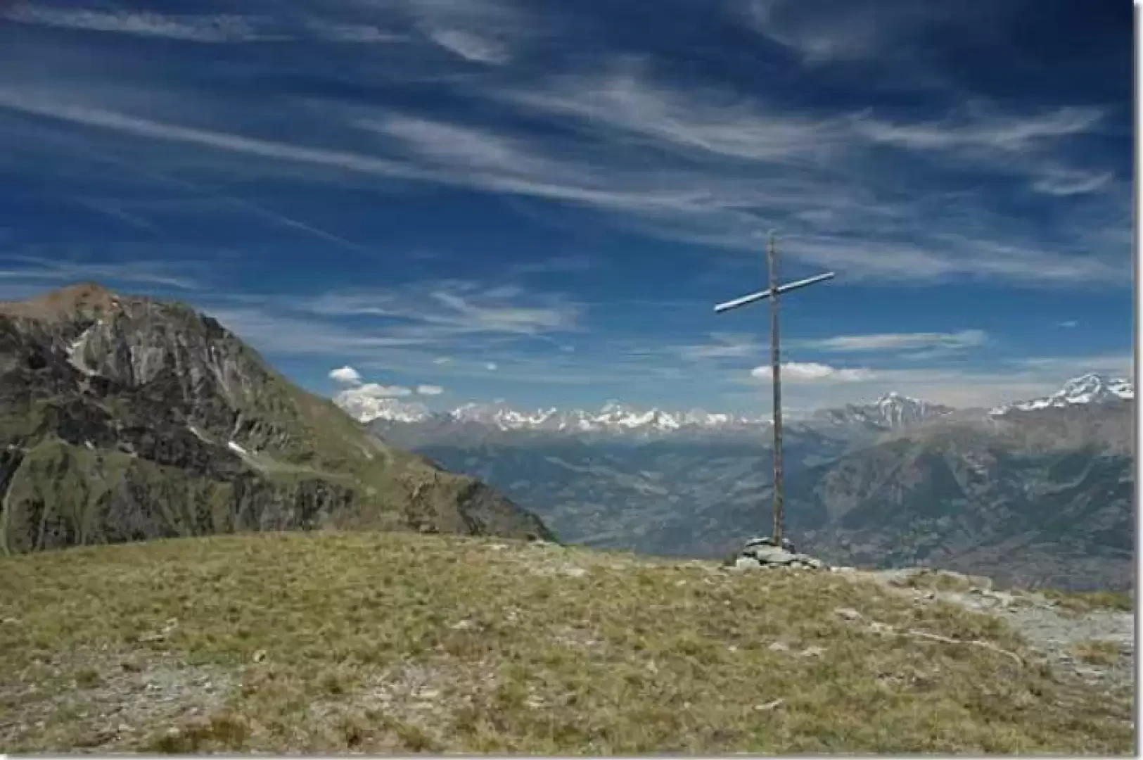
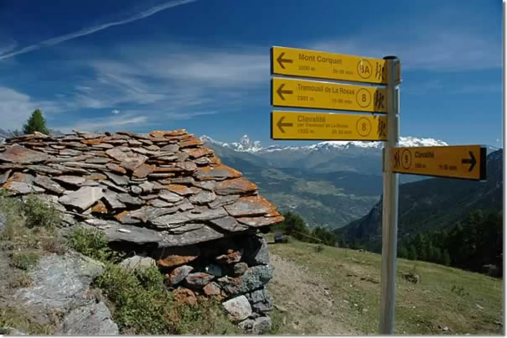
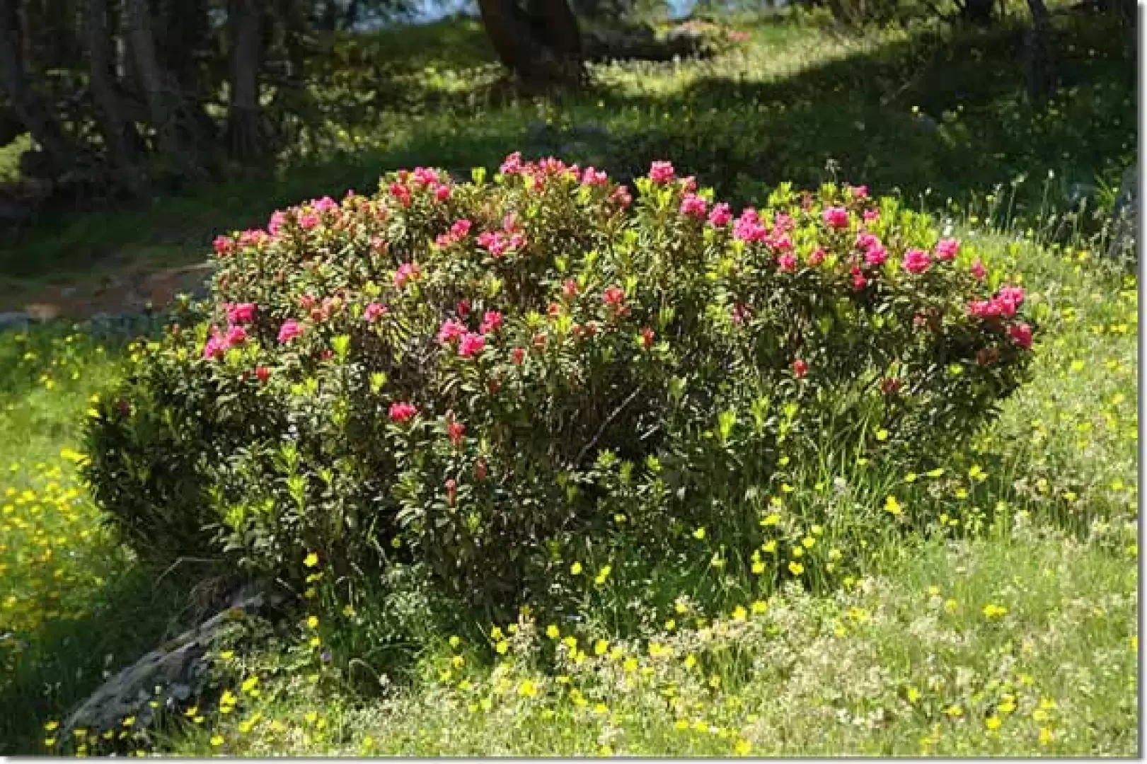
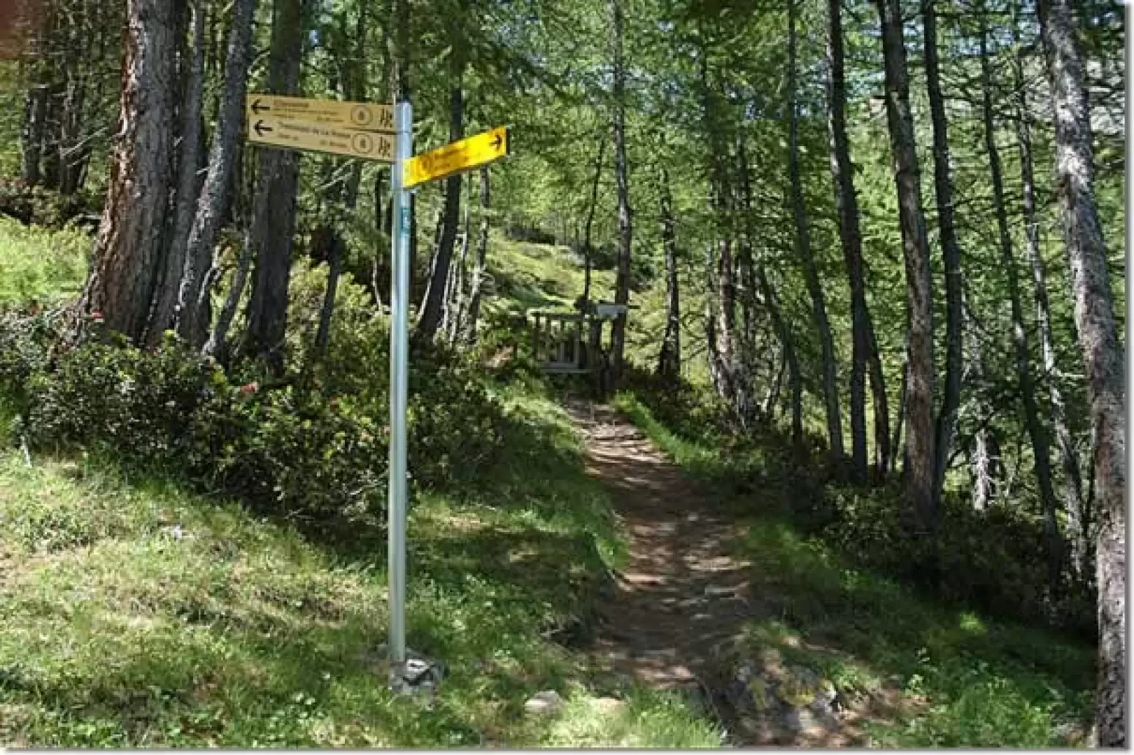
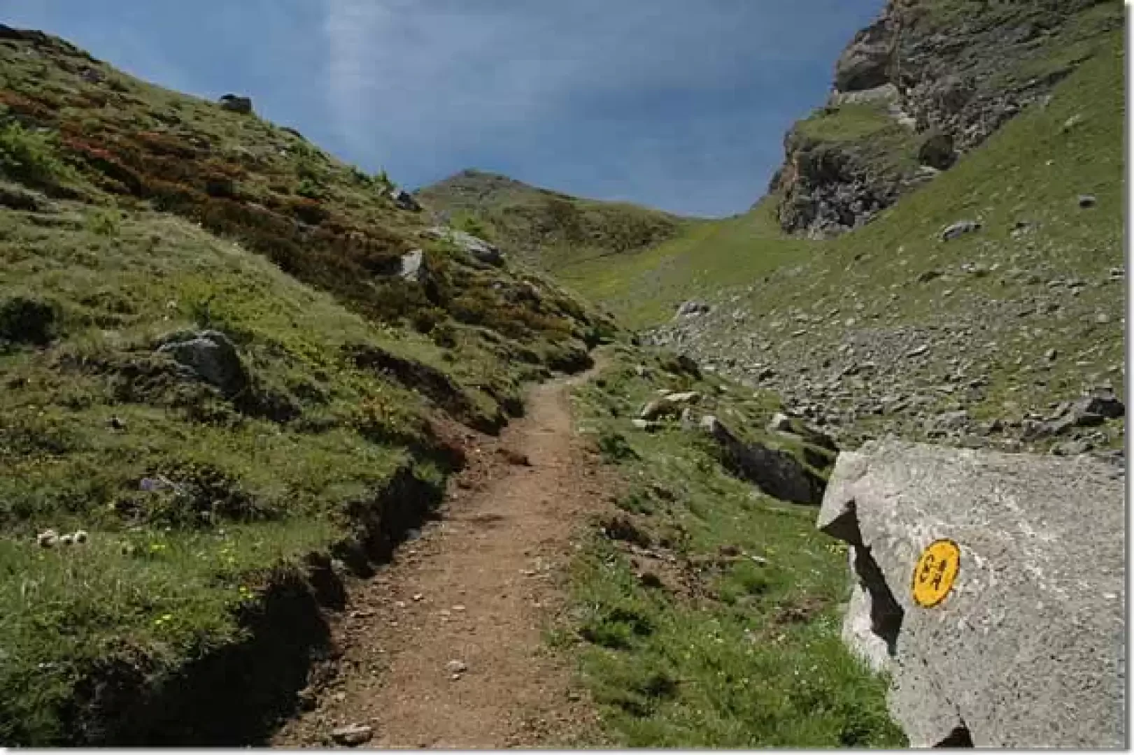
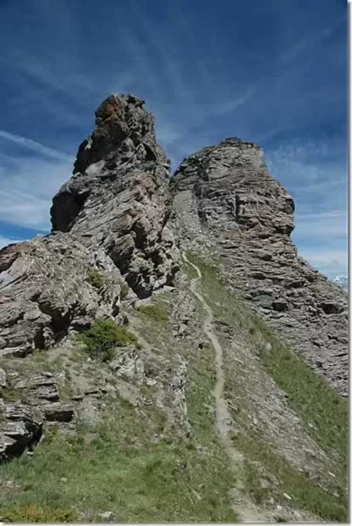
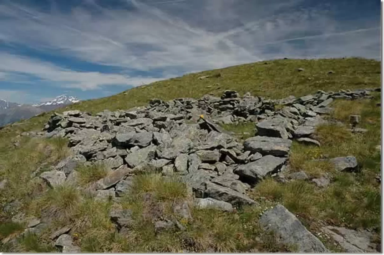
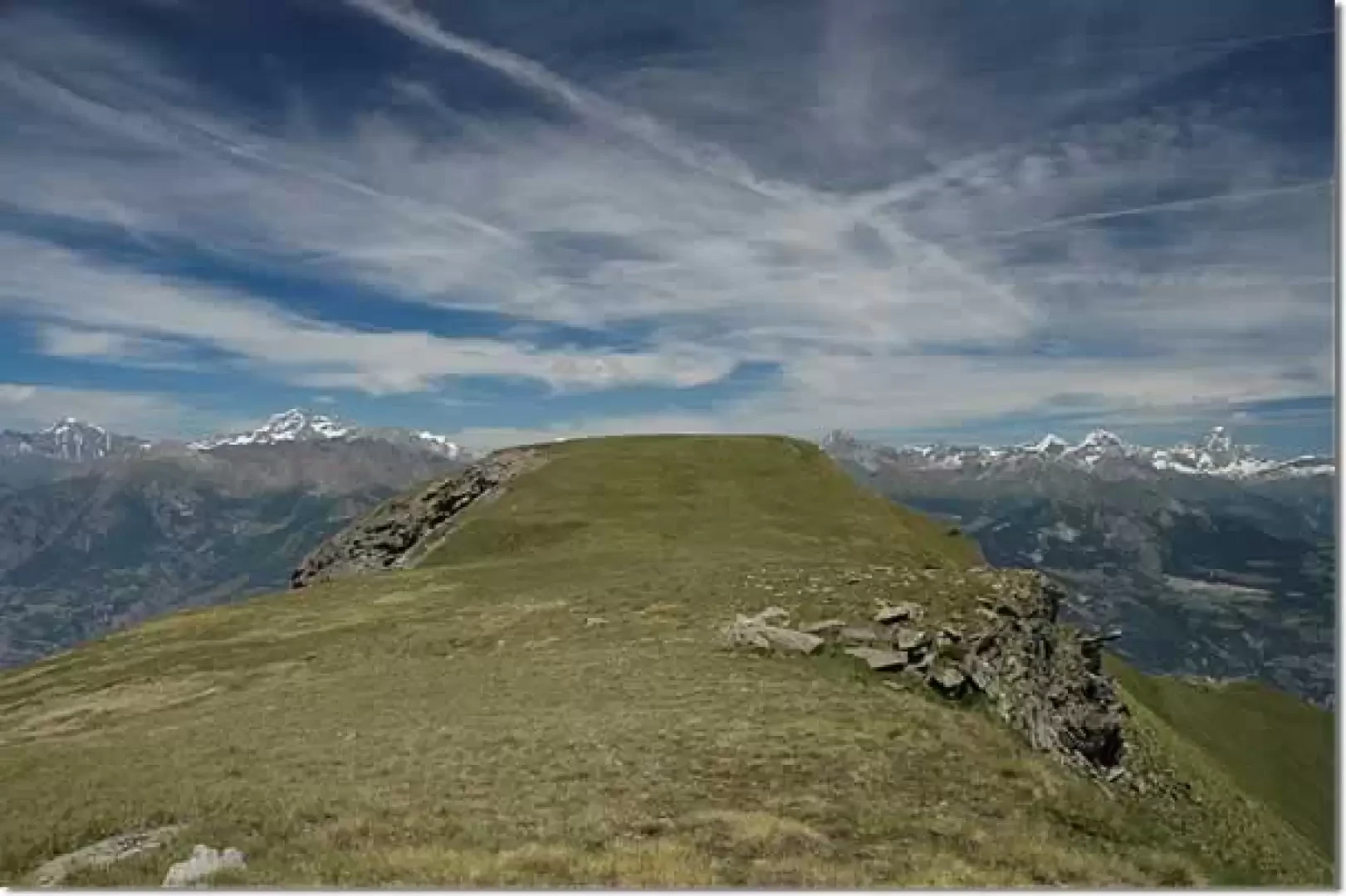
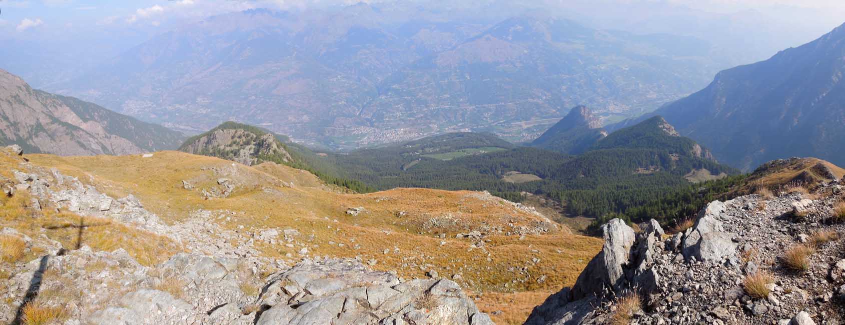
At the fountain, you will come across a marker indicating the Mont de Corquet, turn right and climb up a short stretch of gibbous pastureland until you reach the mountain pasture above; here the path veers slightly to the right until you come to a barely visible fork before entering the forest: turn left and start to climb up the path to the Tramail della Rossa. Among scattered larch trees and patches of rhododendrons, proceed halfway up the slope in a moderate ascent; having passed a gully, begin to climb a steep section that soon reaches the fork for Mont de Corquet (2180m, 1h 30'): ignore the path that continues to the left for Tramail della Rossa and pass a small gate for livestock. The path becomes steep and slowly leaves the forest with the last larch trees; you reach a small plateau with a fountain and cut across the pasture with a short diagonal to the right (there is no path in this section, however there are clear yellow marks on stones). Once back on the path, turn left into a small depression; pass under a rocky buttress until you reach a short plateau below the col, then climb a last grassy slope and finally reach the col de Crotey (2434m, 2h00'). The path now turns to the right, passing amidst some imposing rocks that accompany the trail along the first section of the watershed "crest" between the Saint-Marcel valley and the La Clavalité valley. One passes along a small ledge, slightly exposed, and reaches the wide panettone at the summit: having passed the remains of an old shelter, one proceeds practically level on a beautiful prairie in the presence of the Pennine Alps. One last small ascent and you reach the summit of Mont de Corquet (2530m, 2h30'), recognisable by a wooden cross.
The return trip is along the same route as the outward journey.
For lovers of panoramic photographs, here is a spot where you will find great satisfaction: the panorama from Mont Blanc to Monte Rosa is decidedly extraordinary.
Galleria fotografica
We have been there
Edited by:
Massimo Martini
Mont de Corquet

Edited by:
Giancarlo Beretta
Mont Corquet
Compiuto il giro ad anello rientrando dal sempre bello vallone di St. Marcel. Una precisazione va fatta per quanto riguarda la numerazione del sentiero di salita dove da Prapremier il numero 14 non è più visibile, pur essendo sempre presenti e visibili le frecce gialle, e dove, all’alpeggio di Corquet desot, si trova inspiegabilmente il bollo col numero 8A che, come evidenziato a Prapremier, dovrebbe risalire verso sinistra al Col de Crotey sulla fiancata opposta alla dorsale.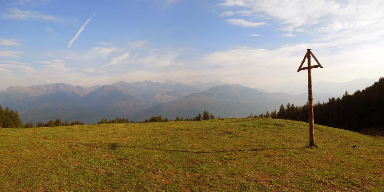
Edited by:
Giancarlo Beretta