Mont de Balme, from Glassier

Edited by:
Benedetto Lorusso
Updated at: 26/08/2025
Access
Lasciare l'autostrada alla barriera di Aosta Est, svoltare a destra e imboccare la superstrada , da seguire per 8,4 chilometri. All’uscita della galleria, dopo 130 metri, svoltare leggermente a destra per imboccare la strada regionale per Bionaz. Alla rotonda, prendere la seconda uscita e proseguire lungo la regionale, superando i villaggi di Signayes e Rhins, e l’abitato di Valpelline. Dopo 16,9 chilometri, svoltare a sinistra e prendere la strada regionale per Ollomont. Risalire la regionale attraversando il capoluogo di Ollomont e i villaggi di Voueces e Vaud, fino a giungere, dopo 23,8 chilometri, a Glassier. Poco prima del villaggio, sulla sinistra, si trova un parcheggio 🅿️ gratuito con una stazione di ricarica per veicoli elettrici.
Distanza e tempo di percorrenza
🕒 Tempo di percorrenza: 29 minuti
📏 Distanza: 23,8 km
Navigazione GPS
📍 Come arrivare con Google Maps
📍 Come arrivare con Apple Maps
Nota importante
Le indicazioni fornite sono state verificate alla data del rilievo dell’itinerario. Prima della partenza, è consigliabile verificare eventuali variazioni del percorso. Per ottenere indicazioni aggiornate e dettagliate, si consiglia l’uso di Google Maps o Apple Maps.
Introduction
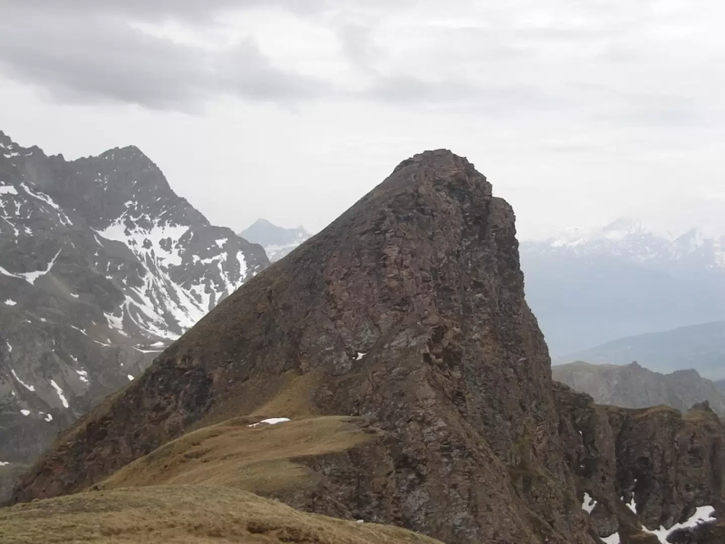
Indicated as Pointe de la Bonne Morte on map of trails No. 6 (Valpelline Saint-Barthelemy) The Hiker's Edition, while map No. 5 (Ollomont Gran San Bernardo) bears the name Mont de Balme, a name also given by Buscaini, Alpi Pennine I, Guida dei Monti d'Italia.
.Description
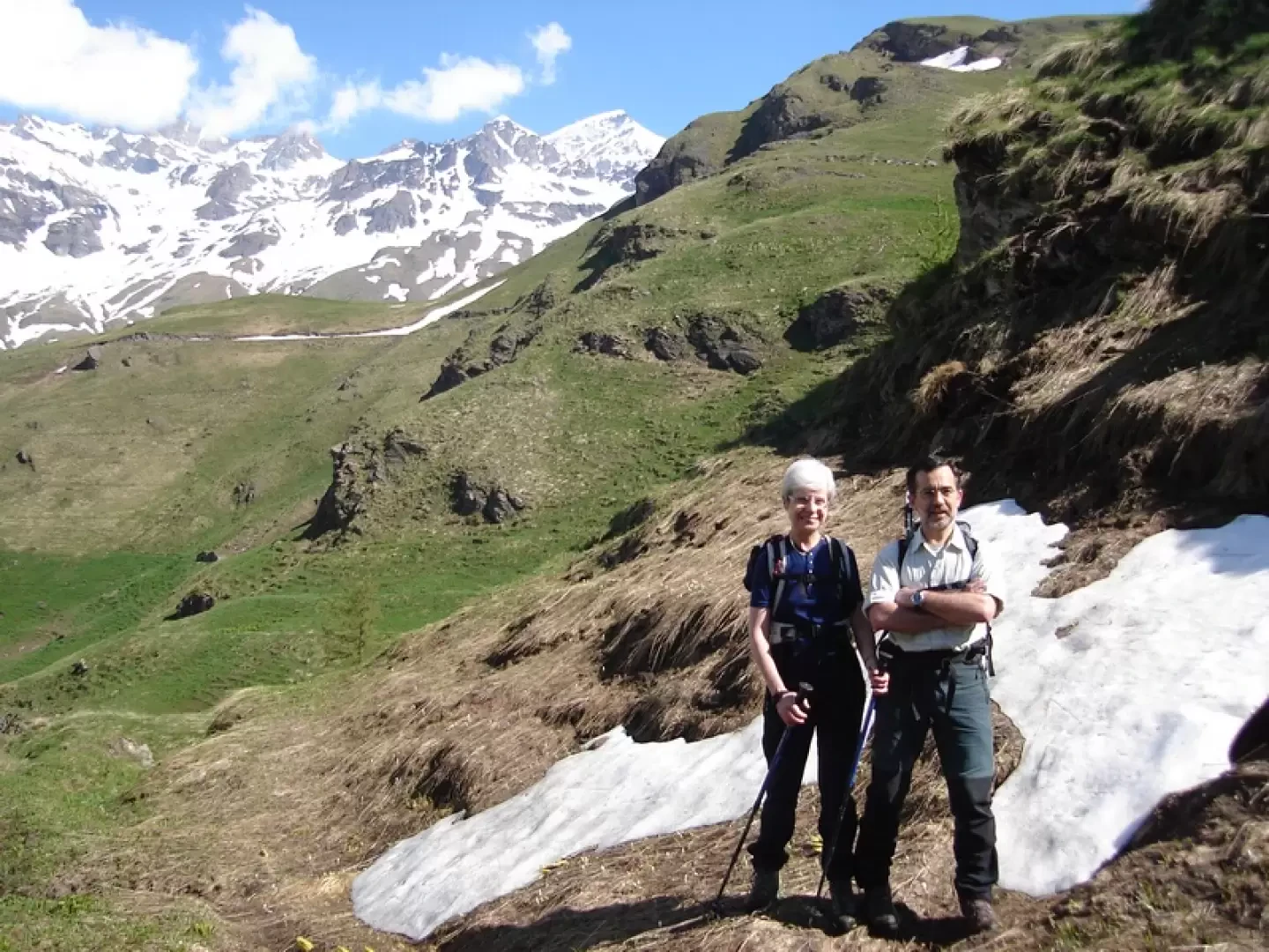
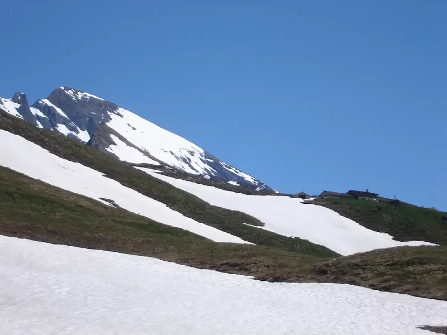
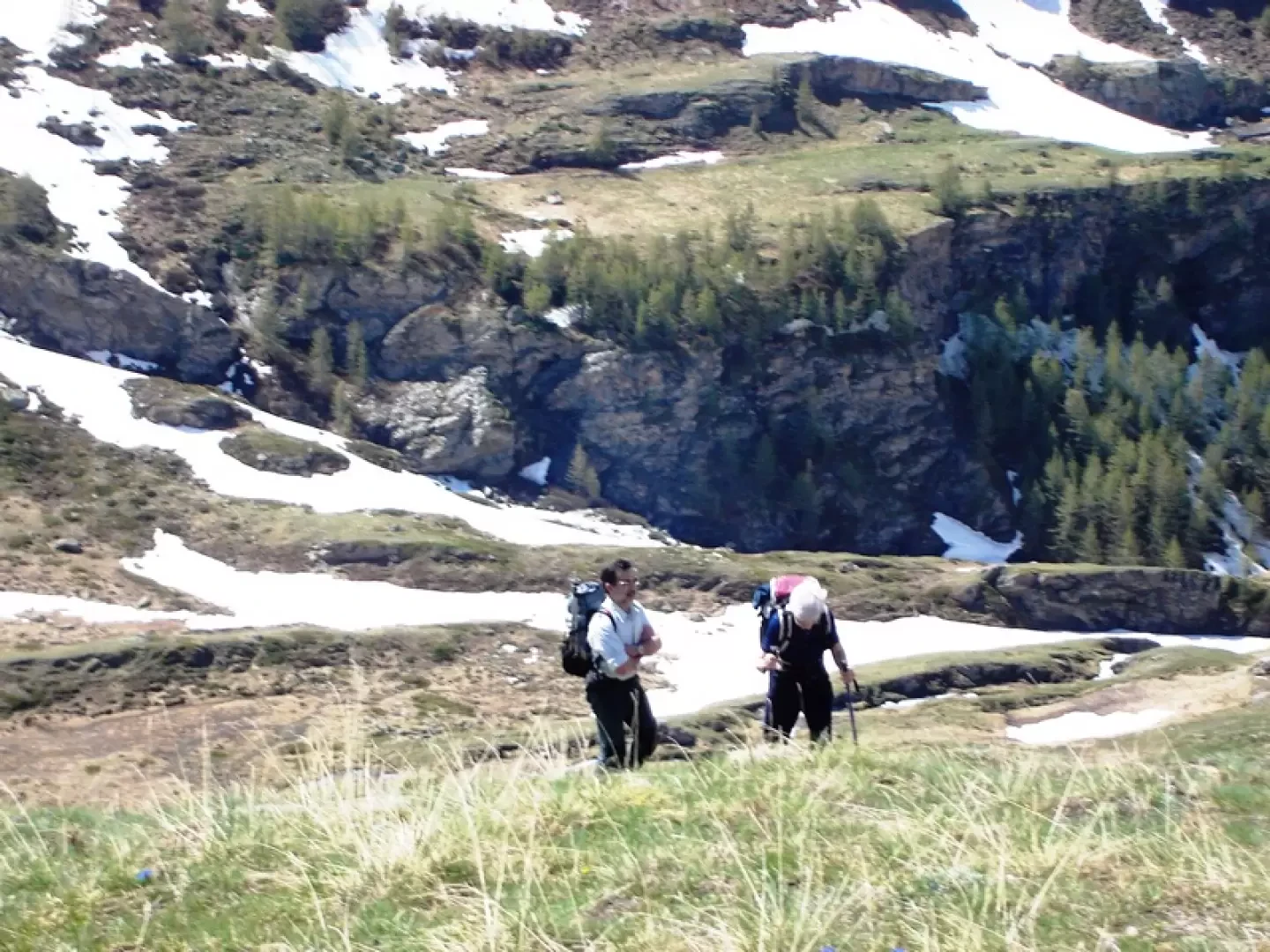
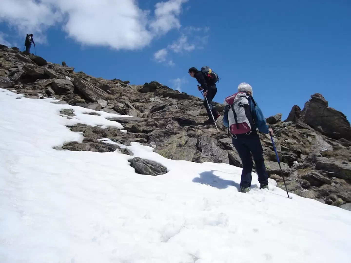
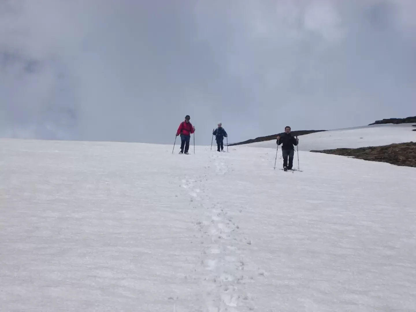
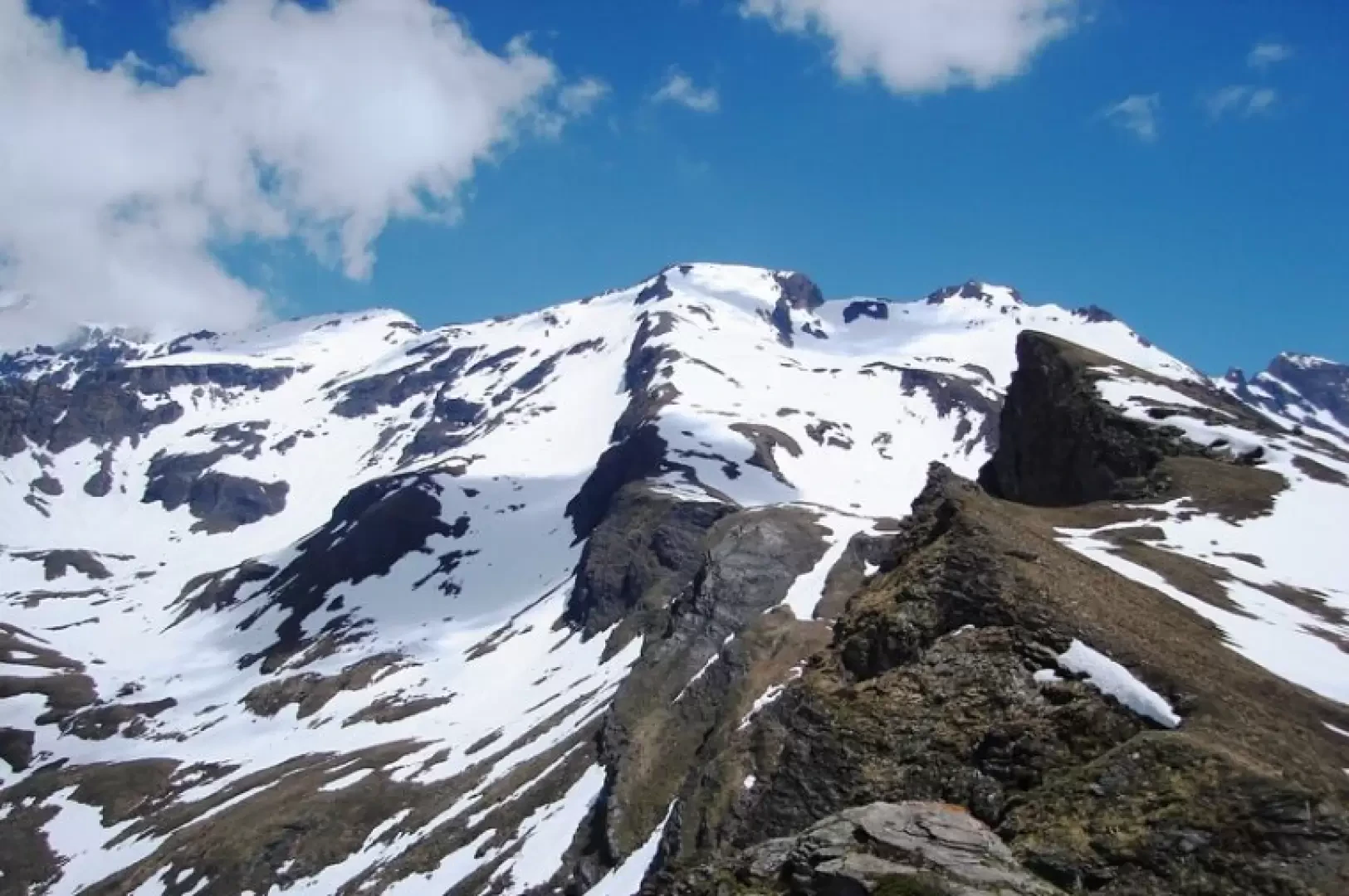
From Glassier, climb up towards By, then follow the col Fenetre path to Balme de Bal. In winter, with good snow conditions, from the Cheval blanc, an alpine pasture below By, head west, over a dip via a gully beyond which you reach the Balme de Bal. From here, you can either walk along the SSE ridge in its entirety to the summit, or (comfortable but long) follow the path that branches off from that of col Fenetre (possible shortening) to the lower Filon alpine pasture. Continue for a hundred or so metres on the inter-country road to climb the slopes to the left that lead to a saddle on the crest just before the summit. Alternatively, from By follow the path to the Amianthe hut. Just before entering a small valley, climb up a grassy crest to the right that leads to the Bonamort plateau and then reach the clearly visible Bonamort pass (very steep, not recommended with snow). From the pass, contour the summit above to the south until you find traces of a path over the final slope to the summit.
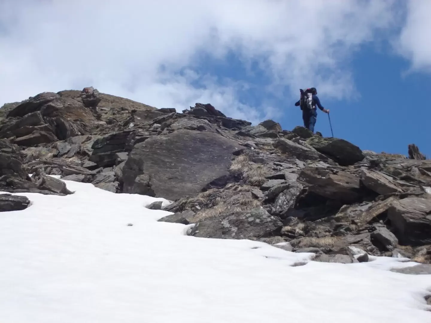
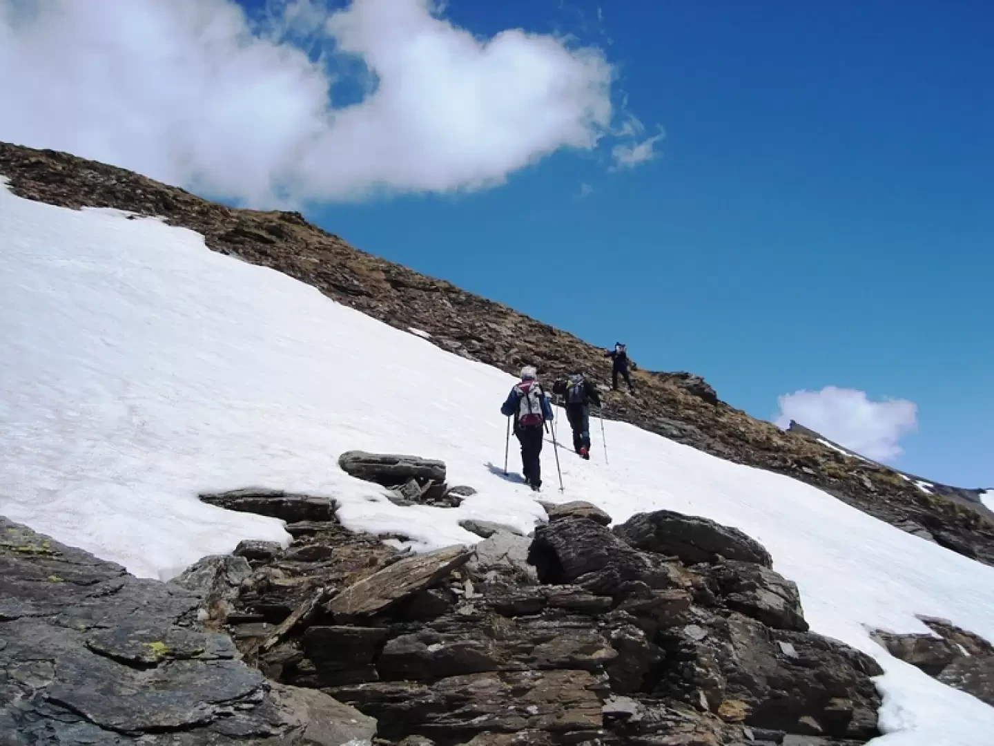
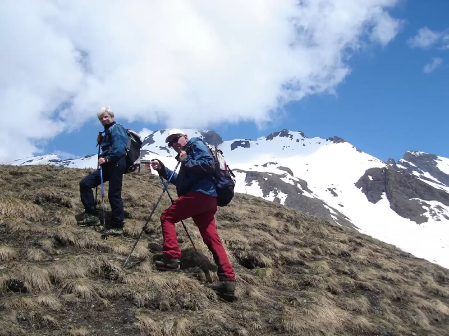
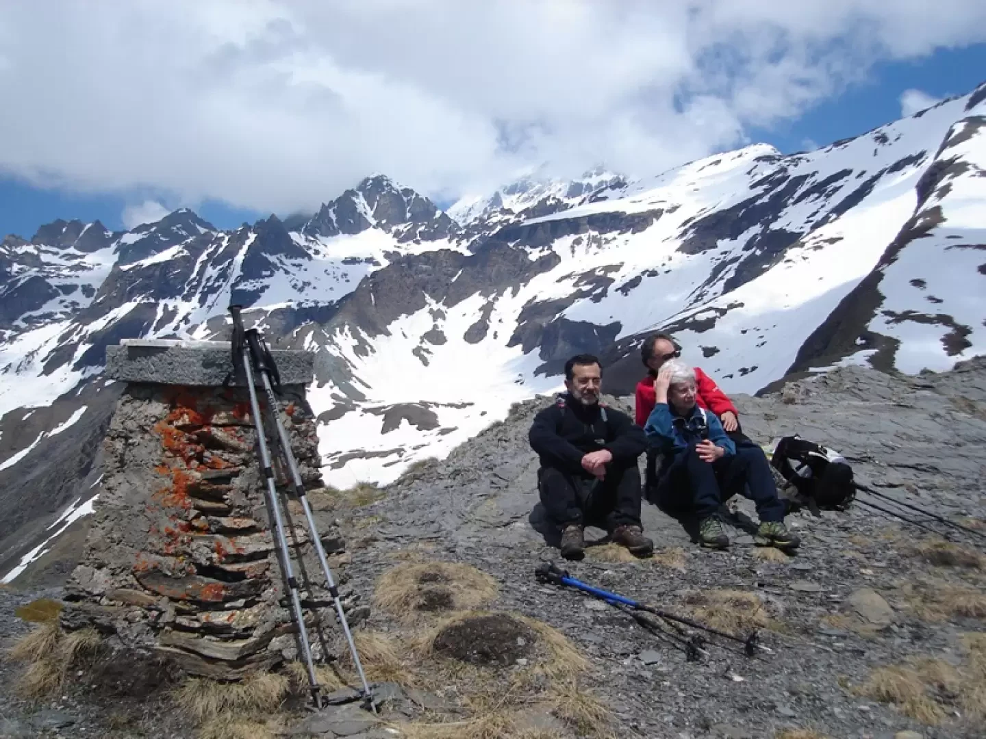
Galleria fotografica