Mont Creya, from Gimillan
Access
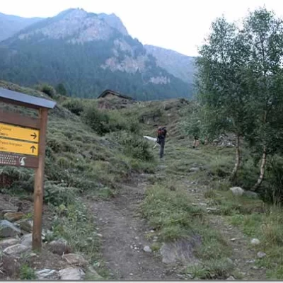
From the motorway barrier at Aosta-West keep to the right and take the regional road for the Cogne valley. After passing through the village of Aymavilles, the road enters the valley, passing the villages of Vieyes, Epinel and Crétaz until you reach a roundabout, 20 km after the motorway toll booth: take the second exit and continue along for another 1.1 km until you come to another roundabout. Take the third exit following the signs for Gimillan. Drive up the communal road for about 3 kilometres passing the village of Montroz and, once in Gimillan, at the crossroads keep to the right and continue for about 200 metres until you come to a large free car park 🅿️ located on the right-hand side of the road. Once you have left your car, drive to the fountain 💧 where there are signposts with directions for all the routes in the Vallon de Grauson.
[0h35'] - [24.1km]
- How to get there with GMAPS
- How to get there with Apple Maps
These indications are based on direct verification carried out at the time of surveying the route so the information should be checked before embarking on the hike. We recommend using a GPS navigator or map app on your smartphone to get up-to-date and detailed directions.
Introduction
It is not easy to find three-thousand metre hikers in the Aosta Valley: Mont Creya is one of them. Immersed in the splendid setting of the Gran Paradiso, this ascent is a good opportunity to become familiar with the altitude and to enjoy the immense 360° panorama of the region's main peaks. A stop at the Colonna mine below should not be overlooked.
Description
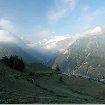
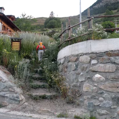
0h00' Climb up the wide path between terraced pastures until you come to the little farm road leading to Plan de Cretetta, which you should follow as far as the signpost. Along this first section of the walk, you can appreciate interesting views of the glaciers at the head of Valnontey, the Lillaz plain and, turning around, the village of Gimillan and the Pousset peak.
0h10' At the marker take the path to the right that goes almost level above Tarabouc (1831m) and the characteristic chapel dedicated to Saint-Bernard. Past the power line, the trail veers slightly to the left and enters the Vallon de Grauson. After skirting a ruin, you will come to a votive shrine and a new marker indicating the junction with path coming from Montroz (1895m).
0h20' Continue straight on for a short distance until you come to the fork for the variant to Tchezeu (1915m), which should be ignored.
0h25' The path begins to descend the eastern slope of the Truc Cretetta halfway down the valley where a small wooden bridge (1889m) allows you to cross the Torrent de Grauson near Encloseur.
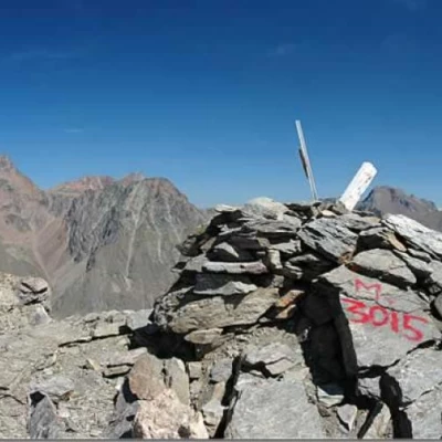
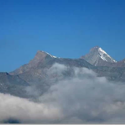
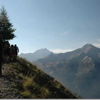
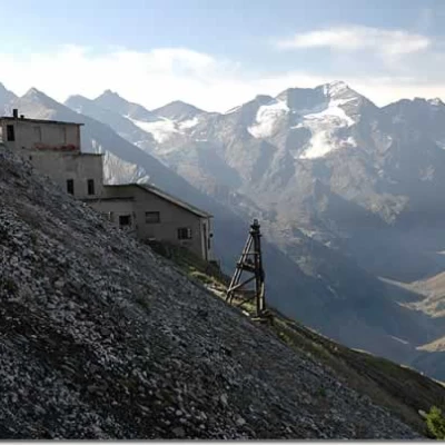
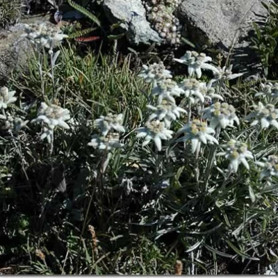
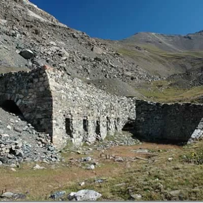
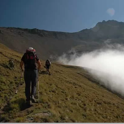
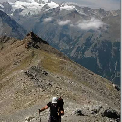
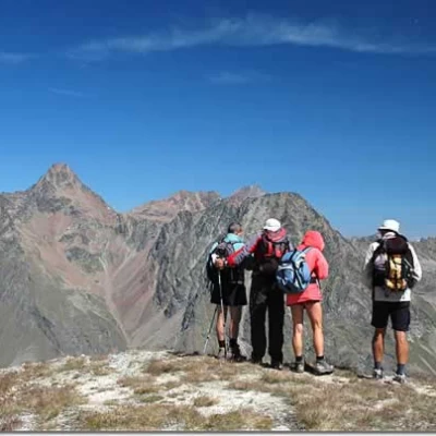
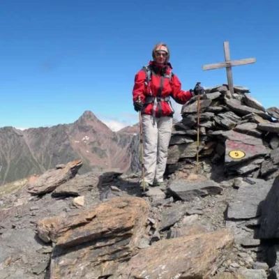
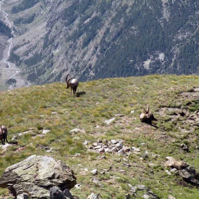
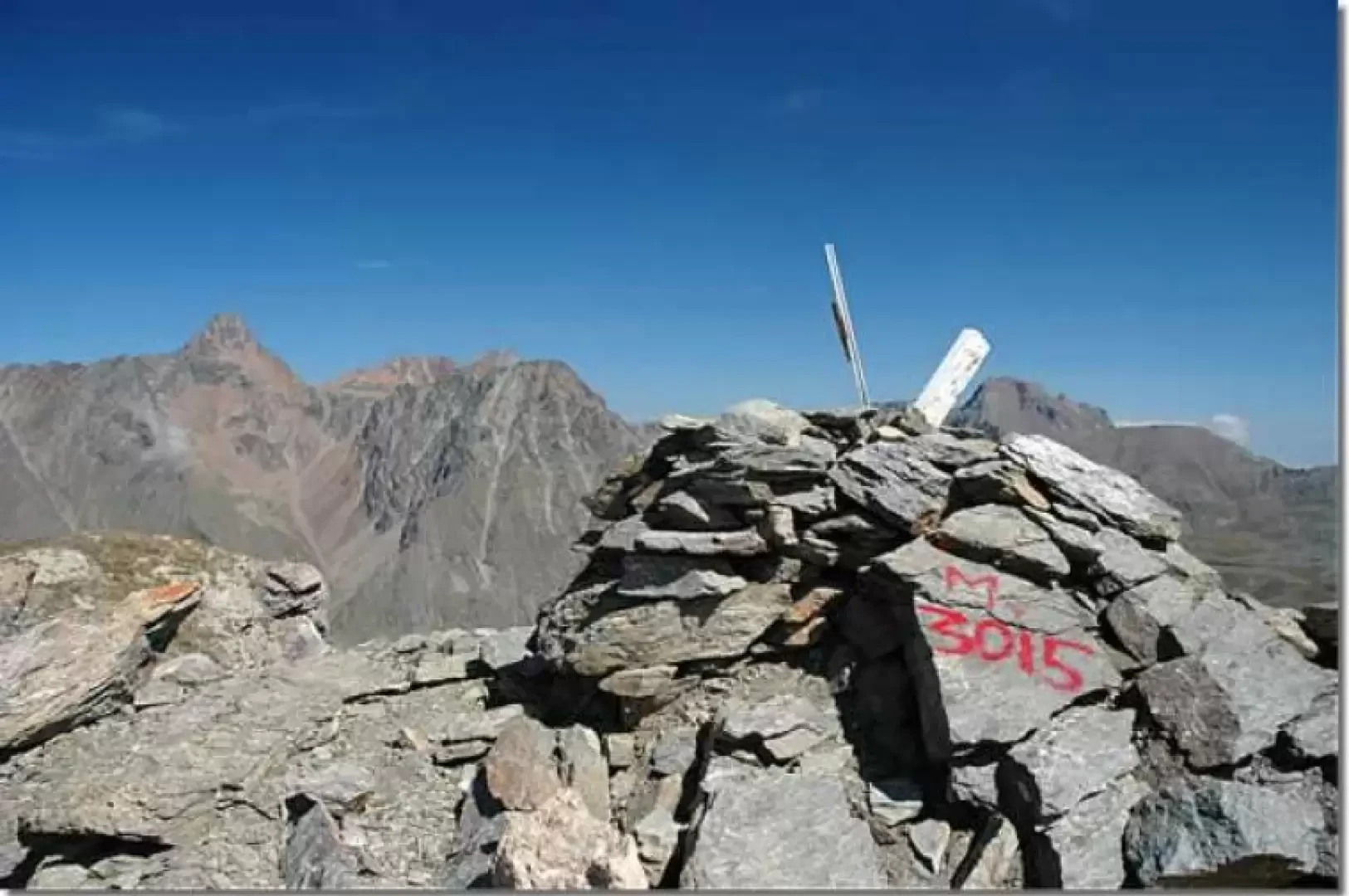
You cross it via a small wooden bridge and shortly afterwards you come to the start of the path (8D) (1897m, 0h25'). The ascent begins, passing several alpine pastures and entering the larch forest. With a series of twists and turns, you cross the forest where there are abandoned terraces. You gain altitude as the view slowly opens up to an unusual framing of the Grivola. After about twenty minutes you come to a second fork in the road (2028m, 0h45'): ignore the path (9A) that leads to Montroz via the Larsinaz mines and continue straight ahead overcoming a stretch with a fairly steep incline; pass near an old landslide residue, then turn slightly to the right towards the valley of Cogne. After another stretch with continuous turns, you reach a small clearing, after which you reach the sloping grassy slopes that precede the Colonna mine. We now proceed along a false level until we reach a scree gully, which we must cross with some care. You now climb up towards a pylon and, shortly afterwards, meet the junction for Montroz with path (9) (2305m, 1h20'). Obviously neglecting it, proceed straight ahead until crossing a second scree gully; from here, the path changes its gradient decisively and in a short time, with a series of rapid turns, reaches the Colonna mine (2407m, 1h45'). Leaving the mine, take the path (5) that turns to the left and begins to climb the beautiful meadows of the Liconi valley. Along the ascent, we cross beautiful expanses of edelweiss (Leontopodium alpinum) while in front of us we begin to see our final destination. After a slightly uphill stretch of path, we reach the ruins of the Liconi mines (2500m, 2h00'). Having passed the old mining area, we ascend the gentle slopes on tracks that first skirt the debris masses generated by the mine and then begin the slow ascent to the summit. The path becomes evident again and, with wide swirls, takes altitude in the beautiful basin at the foot of Mont Creya and Tête Money. During the ascent, it is not unlikely to encounter marmots (Marmota marmota) and chamois (Rupicapra rupicapra), especially when approaching the summit. After a long traverse with a metal cross; the path reaches a small rocky outcrop: from here, continue to a col on the watershed between the Liconi and Grauson valleys (2867m, 3h00'). Continue following the terminal ridge on the right: with a series of twists and turns, the path climbs up towards the summit, crossing an environment now devoid of vegetation. One last effort and you finally reach the summit of Mont Creya (3015m, 3h30'), from where you can enjoy an incomparable panoramic view: from Mont Blanc to Monte Rosa, with close-ups of Mont Emilius, Punta Garin and Punta Tersiva on one side and the entire Gran Paradiso group on the other.
The return is along the same route as the outward journey.
