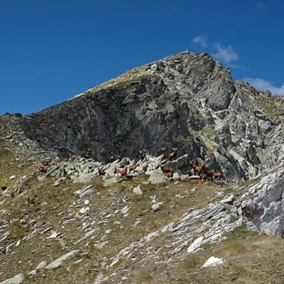
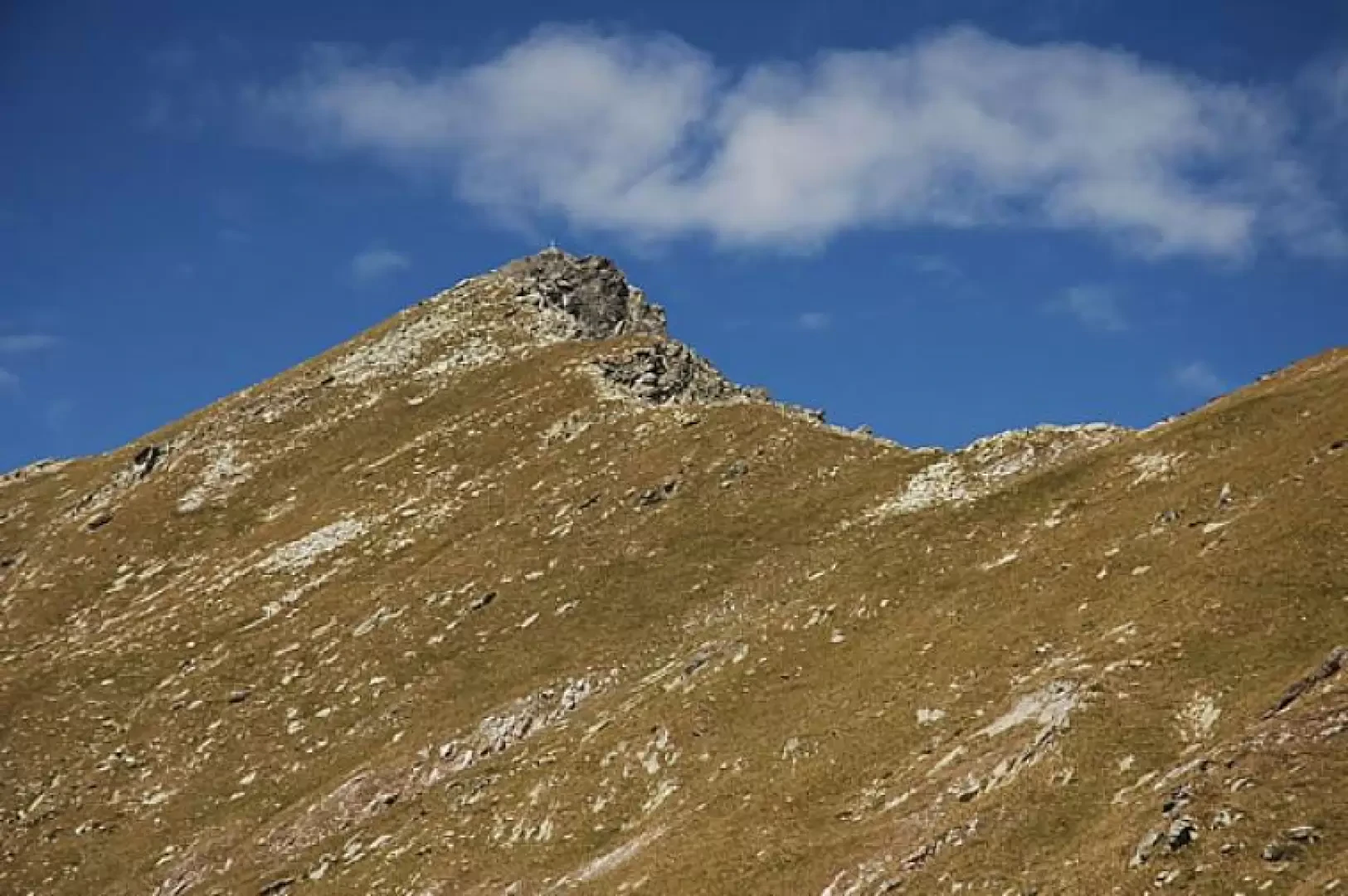
Mont Crabun, from Fey dessous
Access
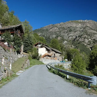
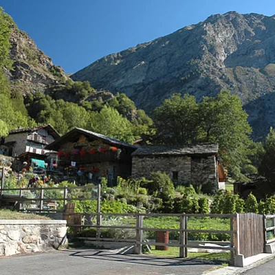
From the motorway exit of Pont-Saint-Martin, follow the signs for Valle di Gressoney, reached via SR44. Climb up towards Gressoney until you cross, on the left, the SR1 to Perloz. On the SR1, cross the "Lys" and "de Nantay" streams until you meet the road that connects Perloz to Marine (alternatively, from the A5 motorway exit, you can reach the centre of Point-Saint-Martin and follow the road that climbs towards Perloz. You pass the villages of Bousc Daré, Plan de Brun and Perloz until you reach the same junction). You now climb the hairpin bends leading to Marine, and cross, on the right, first the road to Ruine and then, again on the right, the road to Cresta. Continue on to Fey Dessous, where there is a small car park with 4-5 parking spaces.
Introduction
There are places that have the misfortune to be little known and the good fortune to be little frequented: the hike described here will take you to discover an enchanting and unknown corner of the Aosta Valley.
Description
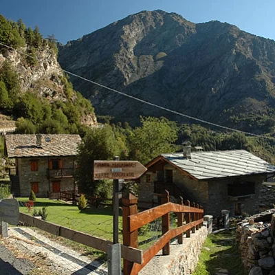
From Fey Dessous (1060m), go up the tarmac road, passing a hairpin bend to the left, to the start of the path just before the traffic ban (1100m, 0h05').
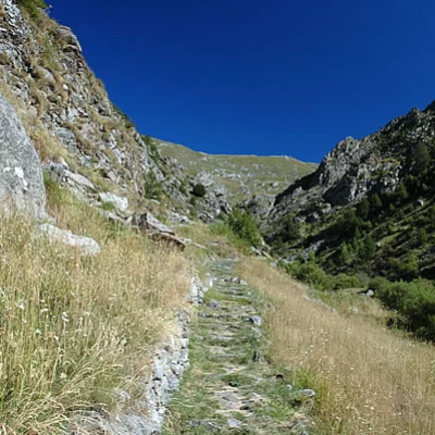
Turn right, following the signs for Mont Crabun, and start walking along a nice terraced mule track that climbs the forest until it meets the tarmac road again just before Pesse (1296m, 0h35'). Once we reach the road, we follow it, turning right and reaching the village of Pesse (1307m, 045') in a few minutes 💧.
We continue our walk along the tarmac road, which is almost flat and leads us to Pra (1349m, 1h00').
We continue along the road until we reach a car park (1368m, 1h05'): just before the car park, turn left and start walking along path
which, leaving the last houses of Pra to the left, gently wedges into the valley of the Nantay stream, climbing up its orographic right, leaving on the left the striking spires of the Becca Cerosera (1866m). After crossing the stream at a convenient ford, the trail climbs a ridge and reaches the Plan plateau (1875m, 2h00').
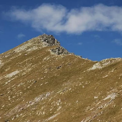
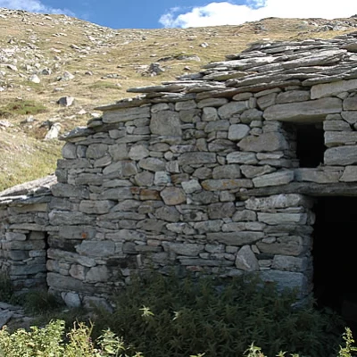
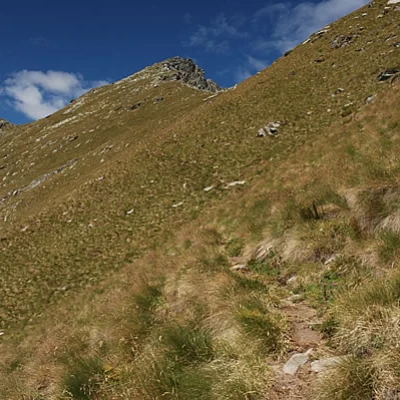
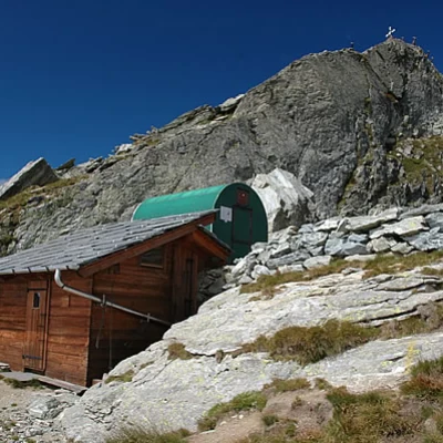
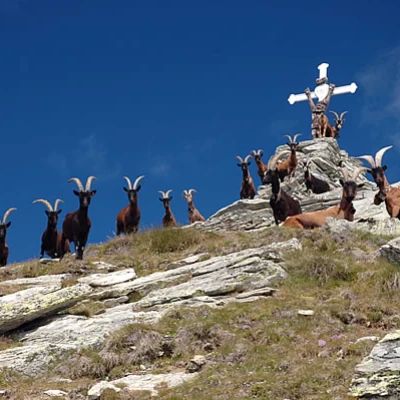
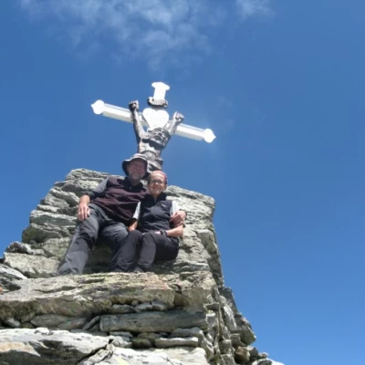
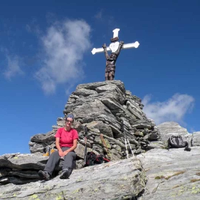
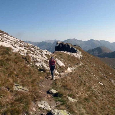
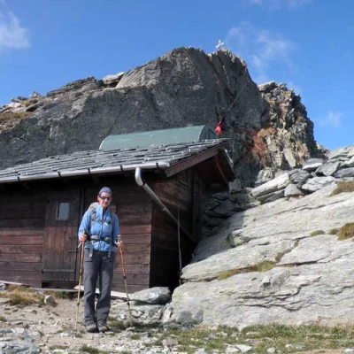
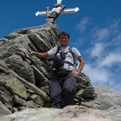
From here, the trail continues on to the alpine pastures of Lers (1876m) and Ibec: the trail crosses meadows full of gentians and anemones, briefly flattens out and then climbs again along a grassy traverse that joins the ridge. From the ridge, there is an excellent panorama of the San Grato valley and the Small Lakes. Following the ridge, climb up towards the summit on an easy path and after about 45-50 minutes you reach the Crabun bivouac (2680m). The bivouac, built in 1989 and flanked since 1993 by a chalet, is located just below the tip of Mont Crabun: after a last little effort, you can reach the crucifix on the summit.
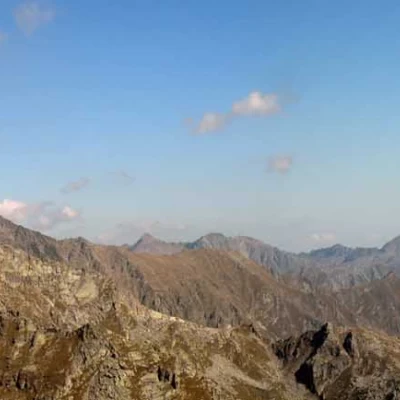
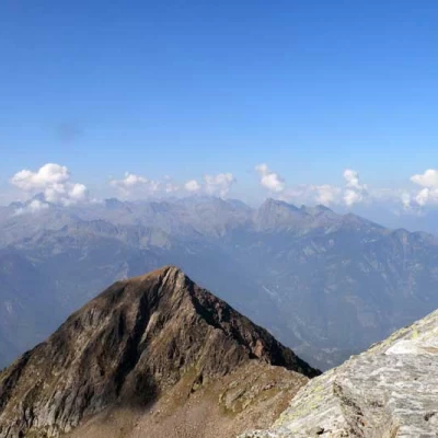
From up here, the panorama is fabulous: in addition to enjoying the view of the Dames de Challand (Becca Torché 3016m, and Becca di Vlou 3032 m), we can observe the whole mountainous apparatus on the right of the Dora Baltea and Mont Mars.
From here, we return to the starting point following the same itinerary for a restorative break.
Punti di interesse
- Fey dessous
- Pesse
- Pln
- Lers
- Bivacco Crabun
- Mont Crabun
Collections
Galleria fotografica
Mappe
We have been there
Mont Crabun
Gita su sentiero facile e ben tracciato, lunga e faticosa; salita con pochi momenti di tregua.
Monte Crabun
Bella salita in ambienti solitari con insoliti panorami sulle vette valdostane e piemontesi.Mont Crabun
Sono salito per la seconda volta sul Crabun in solitaria.
