Mont Blanc, from the chapel of Saint-Solutor

Edited by:
Massimo Martini
Updated at: 04/05/2025
Access
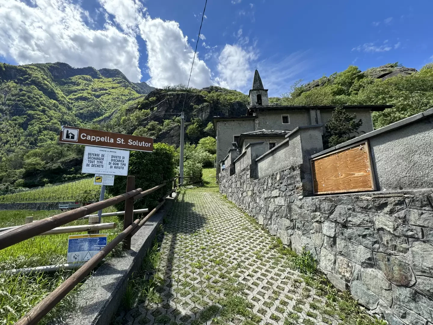
Leaving the motorway at the Verrès tollgate, take the first exit and take the in the direction of Turin. After 240m, at the traffic lights, turn right into Via delle Murasse (narrow) to be followed for about one kilometre until you reach the bridge over the Dora Baltea. At the end of the bridge, turn right onto the municipal road for Champdepraz. After 200 metres, on the left, there is a large car park near the Saint-Solutor Chapel.
[0h03'] - [1.80km]
How to get there with GMaps
How to get there with Apple Maps
The directions given here have been verified on the date of the survey of the route. Before setting off, it is advisable to ensure that no substantial changes have occurred on the route to the starting point. Therefore, we recommend the use of the satellite navigation apps provided by Google or Apple to obtain up-to-date and detailed directions.
Introduction
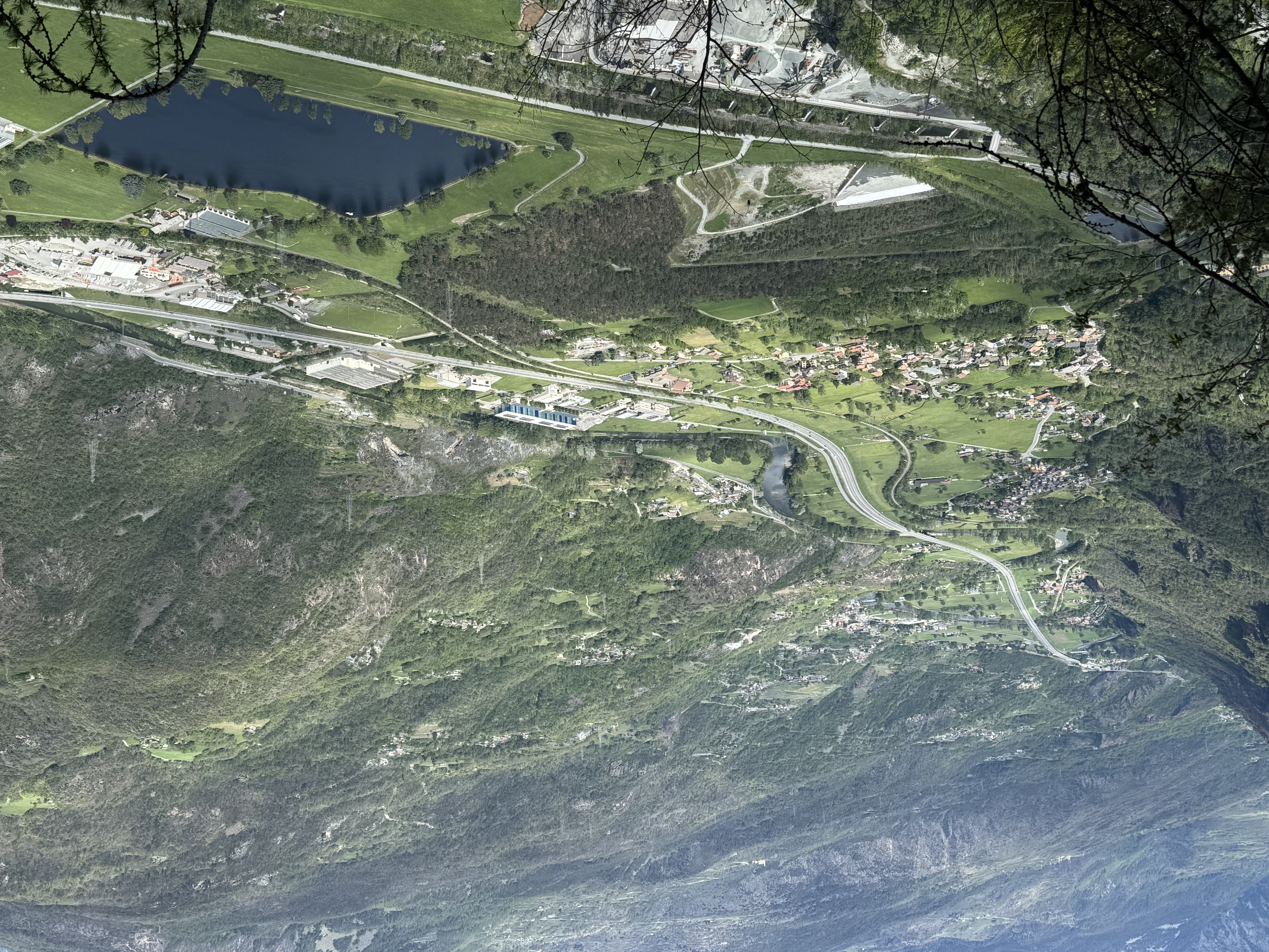
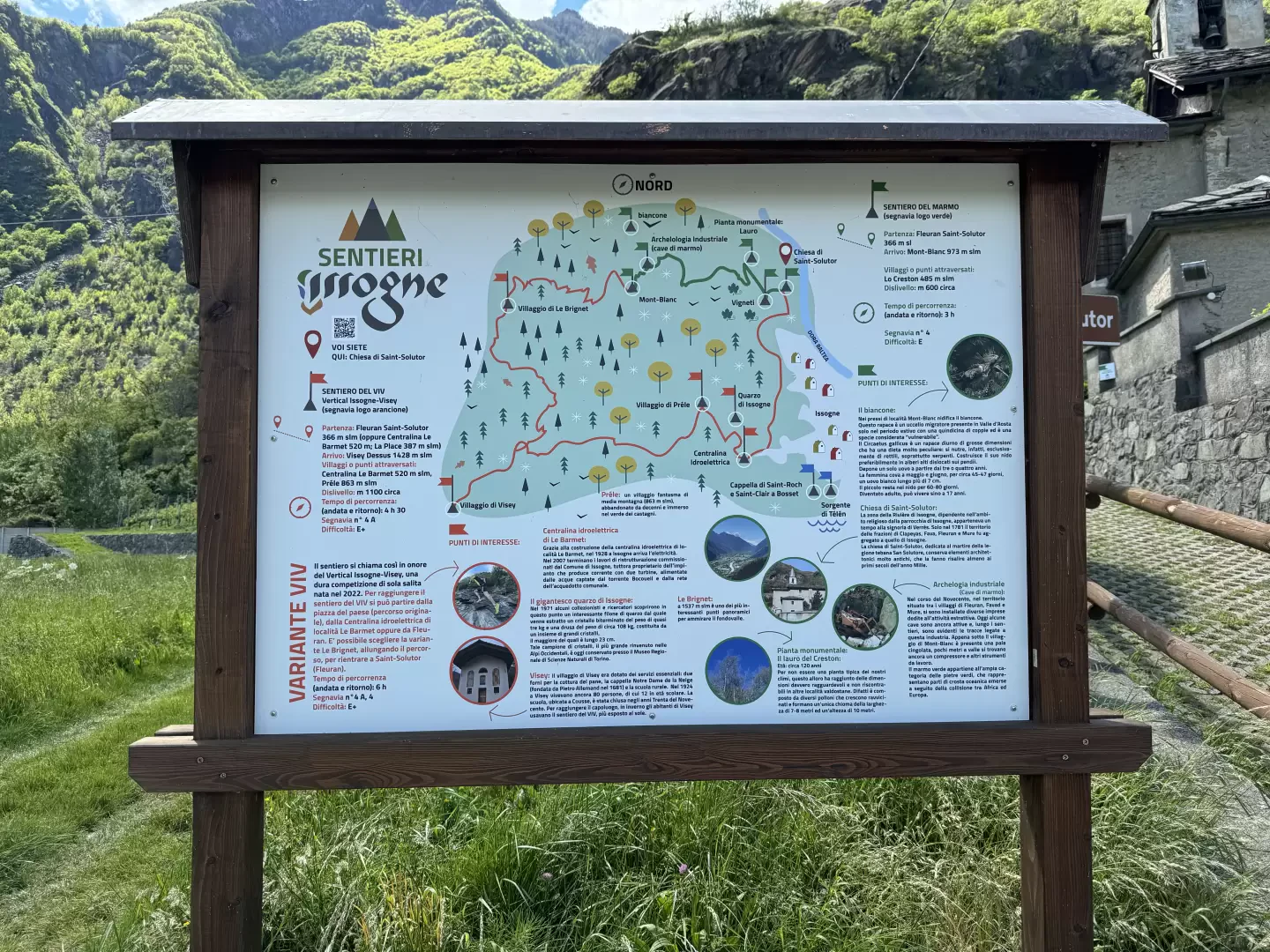
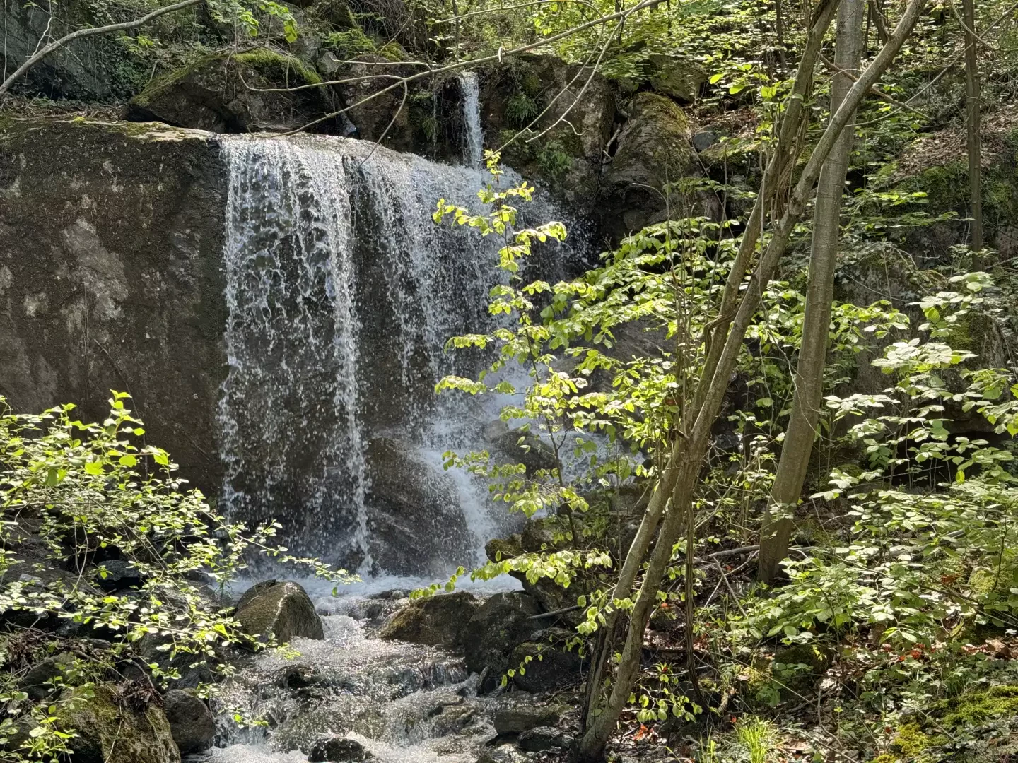
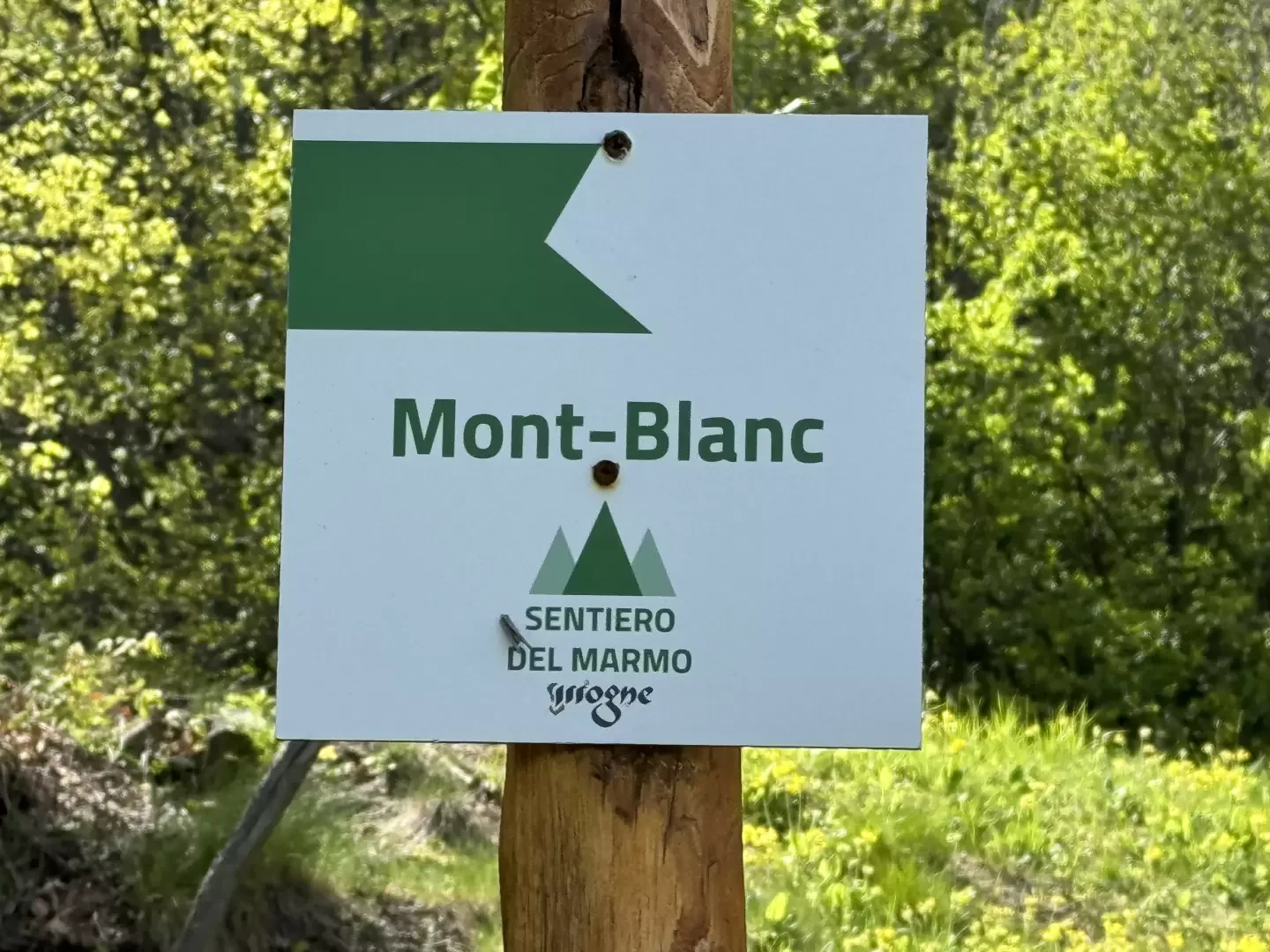
The Marble Path starts at the church of Saint-Solutor, in Fleuran, and reaches the small mountain pasture of Mont-Blanc. It is a recommended itinerary in the winter season and takes its name from the numerous marble quarries in the area.
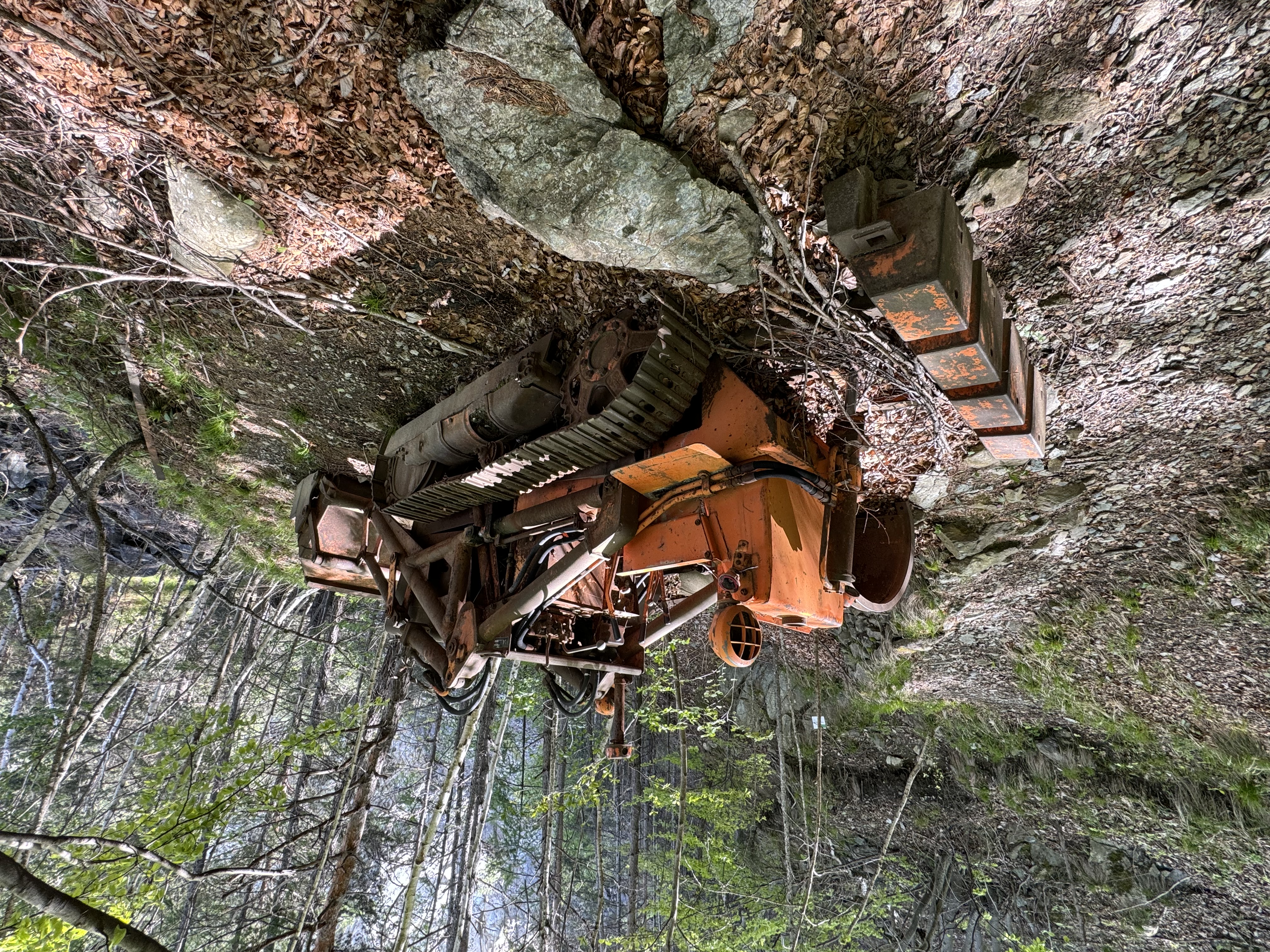
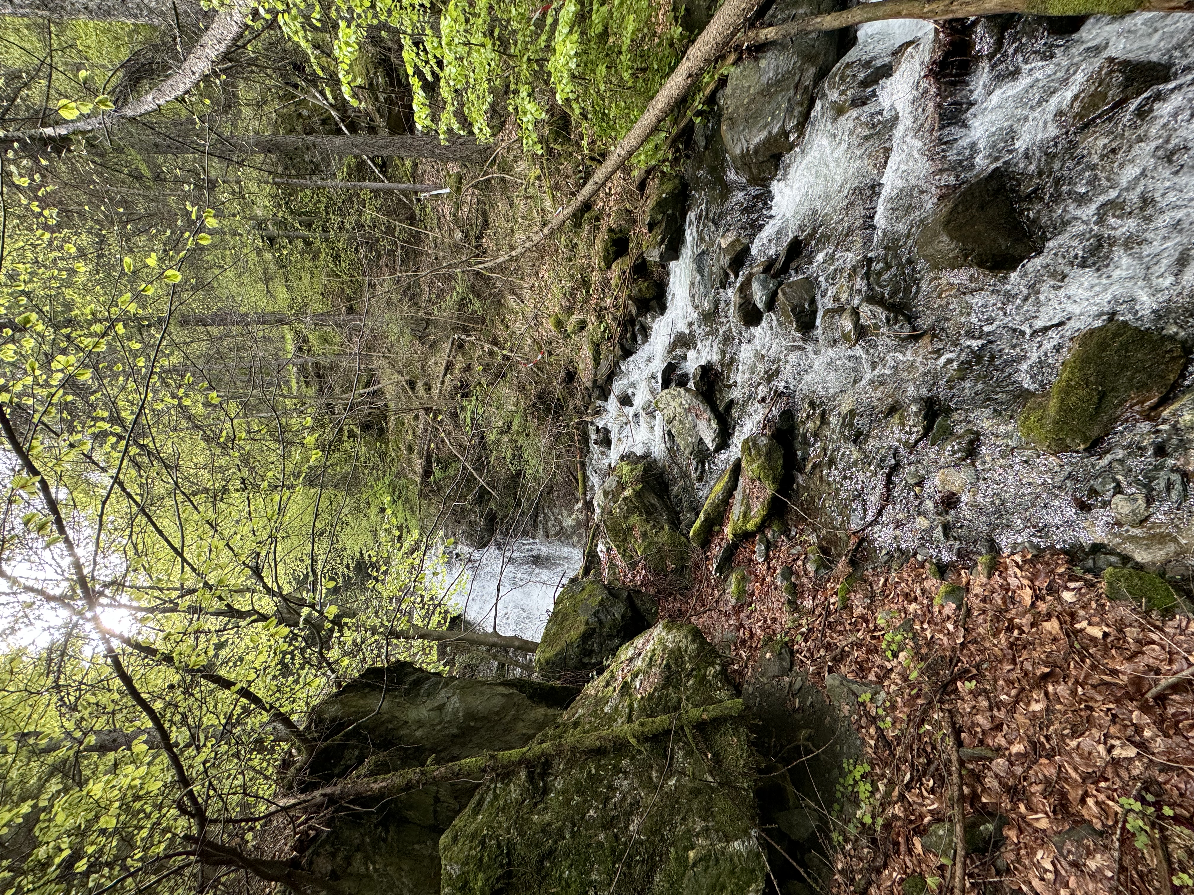
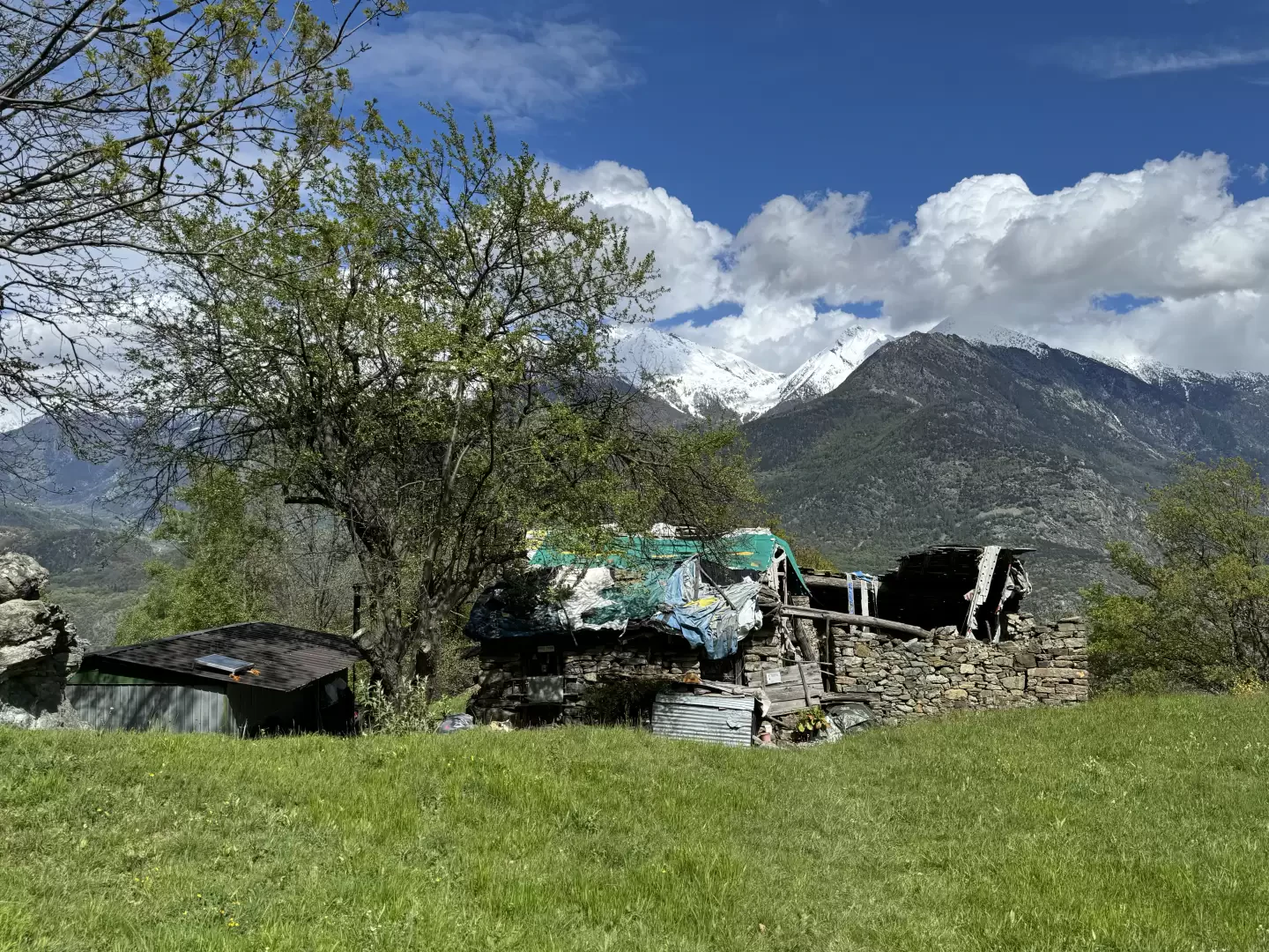
Just below the village of Mont-Blanc there is a crawler shovel, a few metres downstream there is still a compressor and other working tools. Green marble belongs to the broad category of green stones, which represent parts of the oceanic crust that emerged as a result of the collision between Africa and Europe.
Description
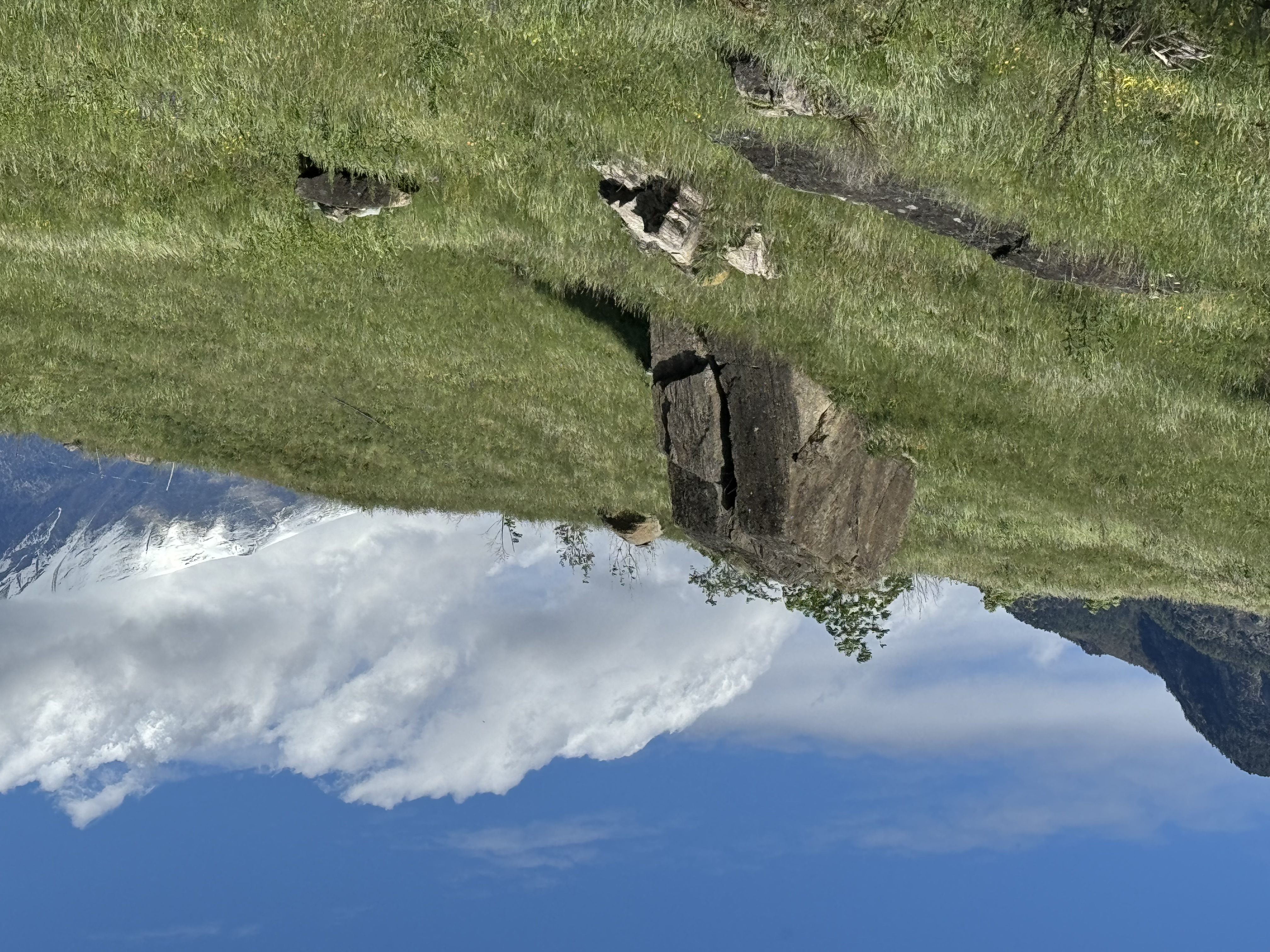
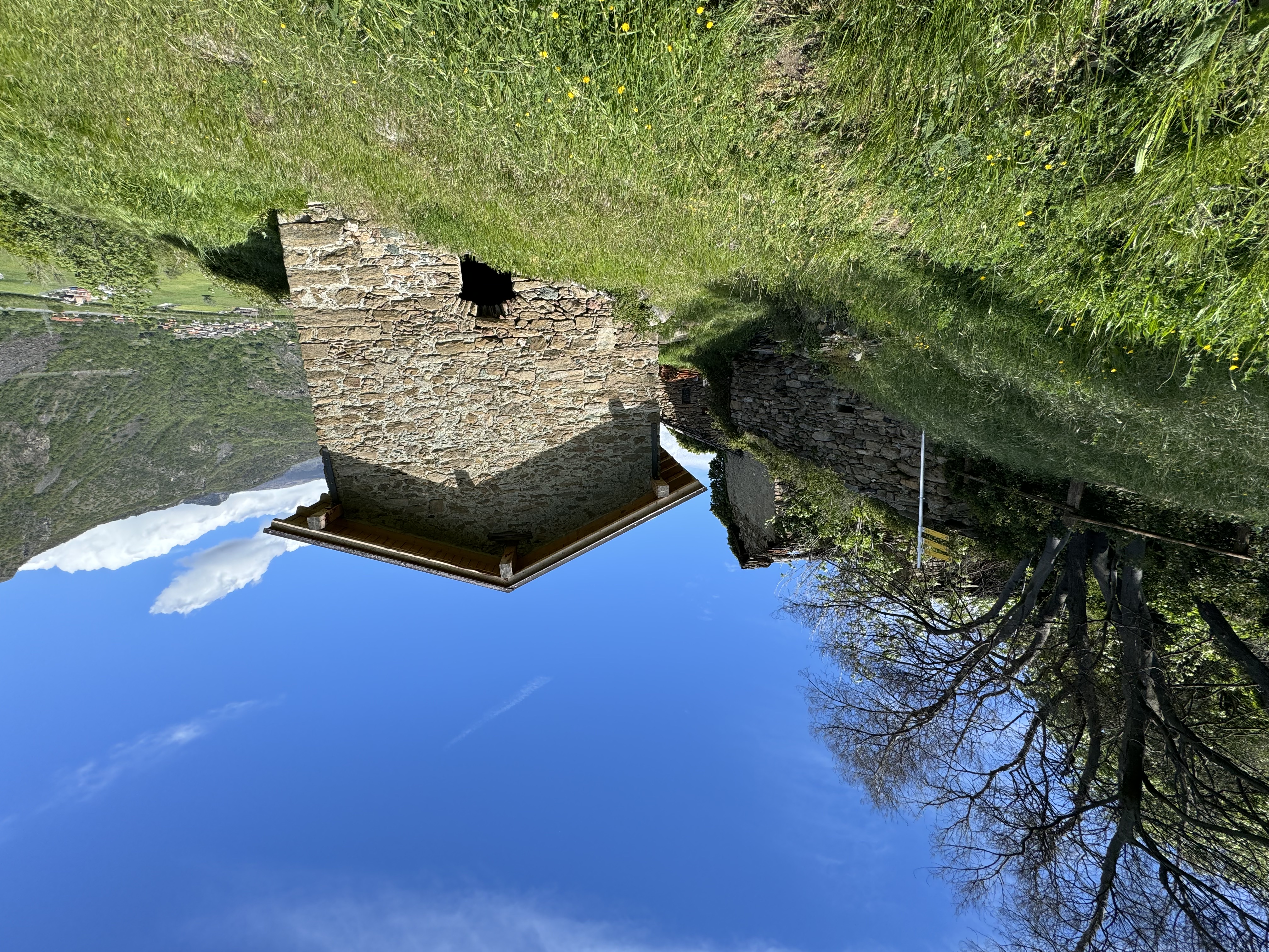
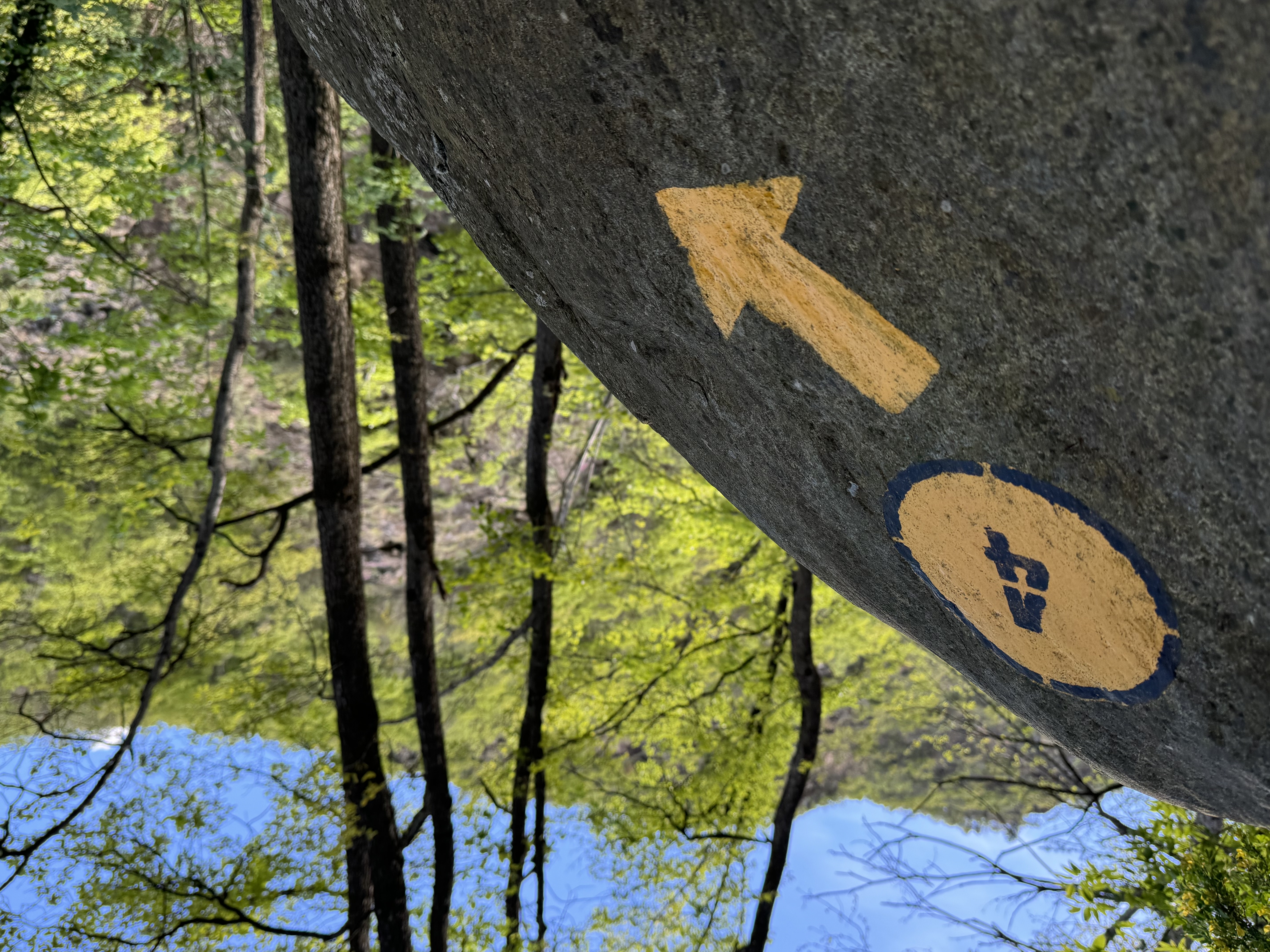
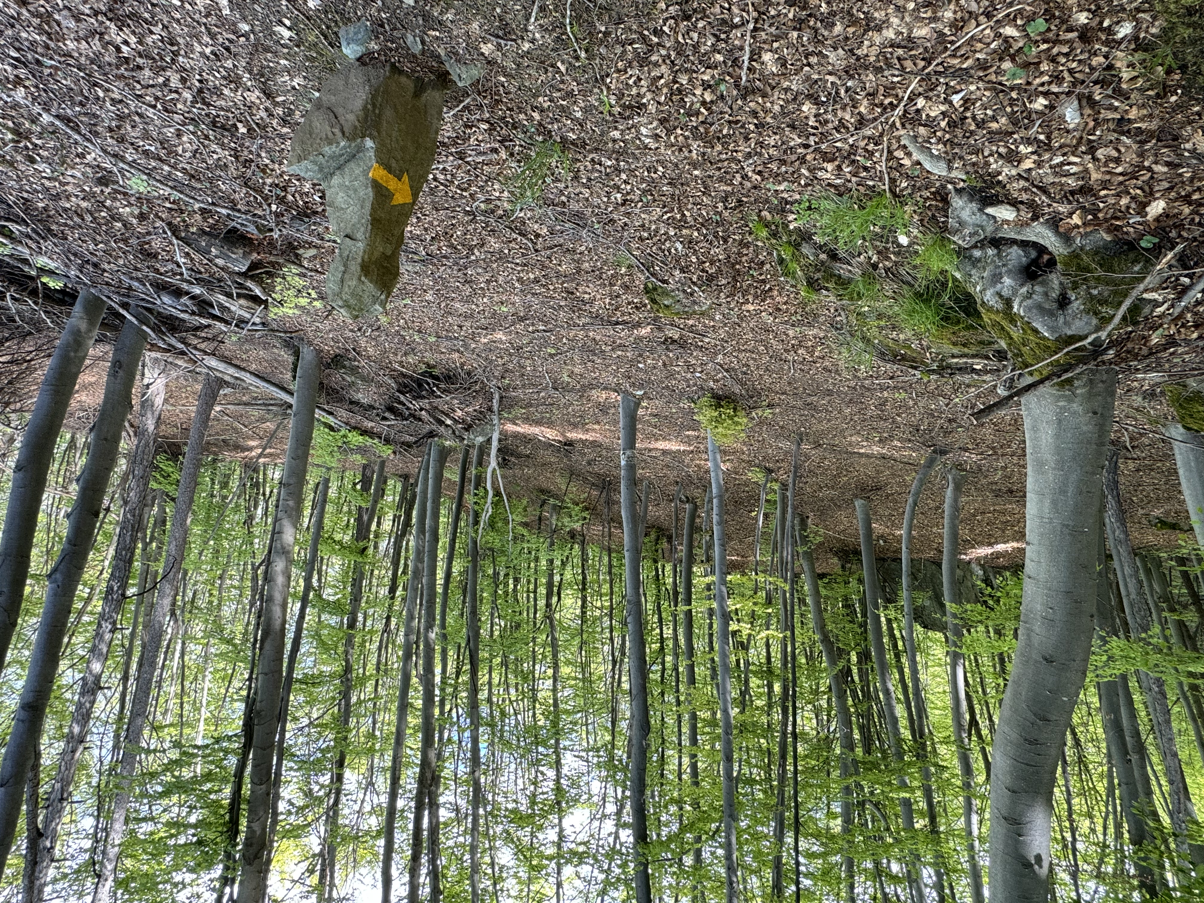
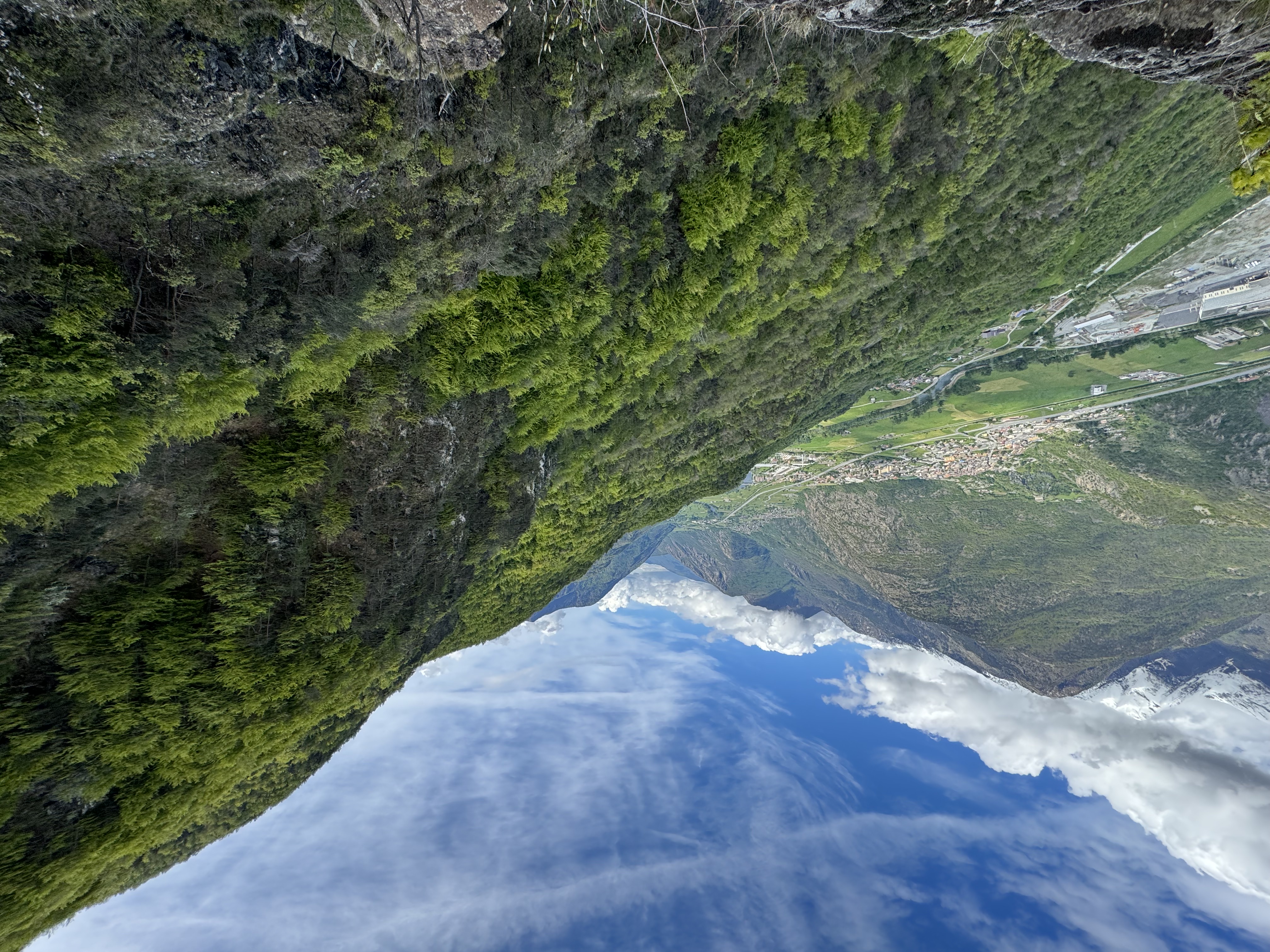
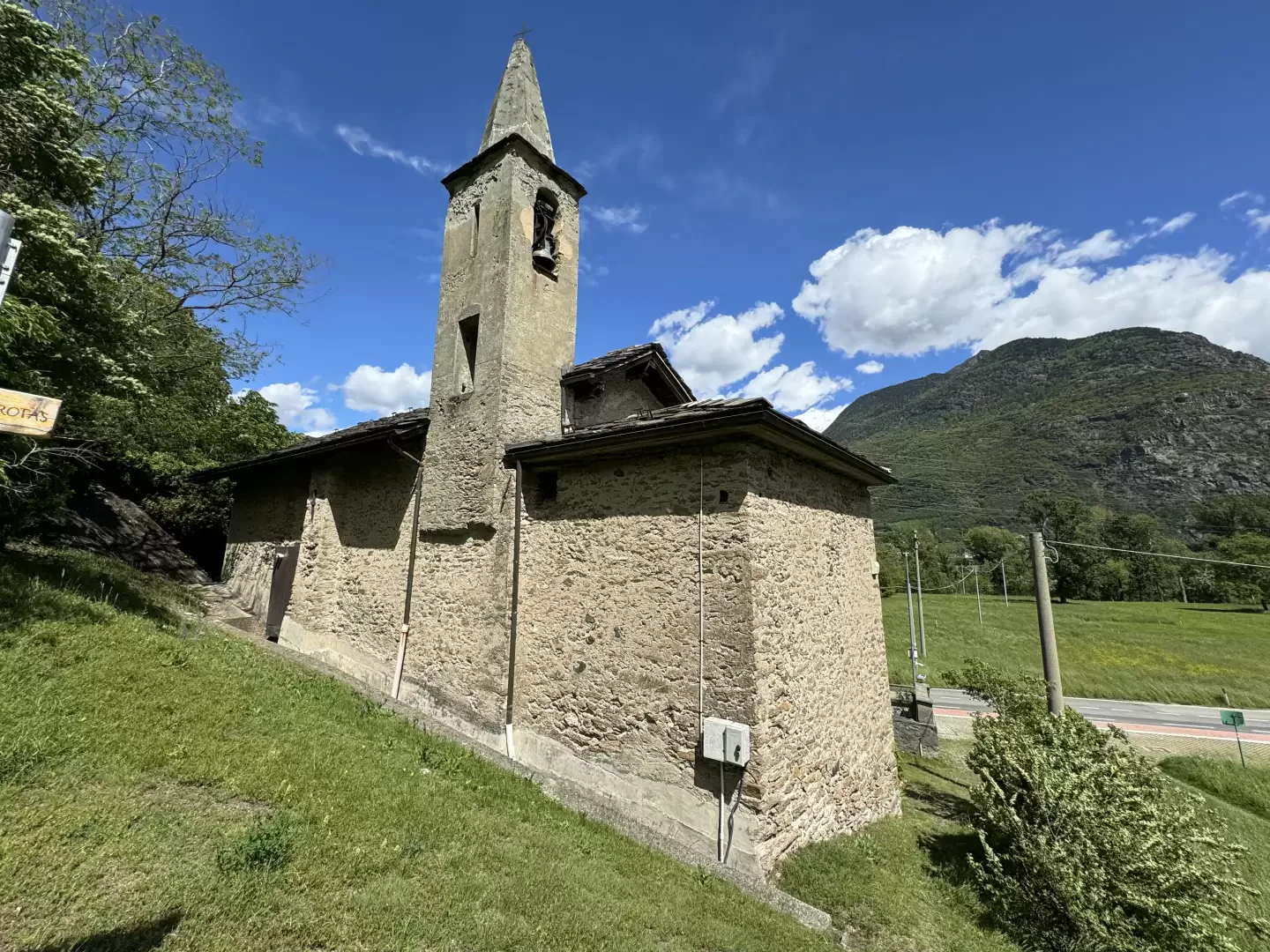
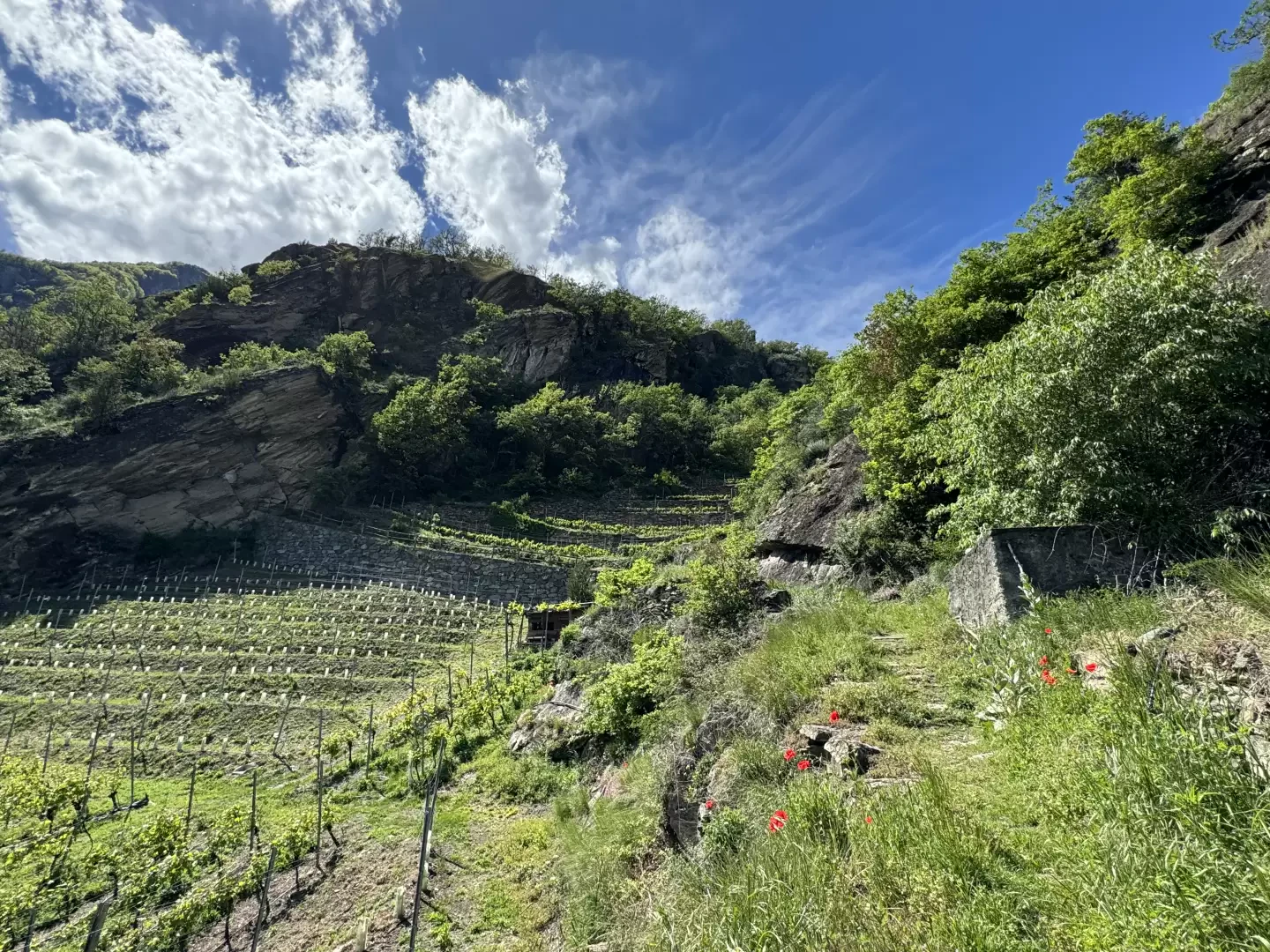
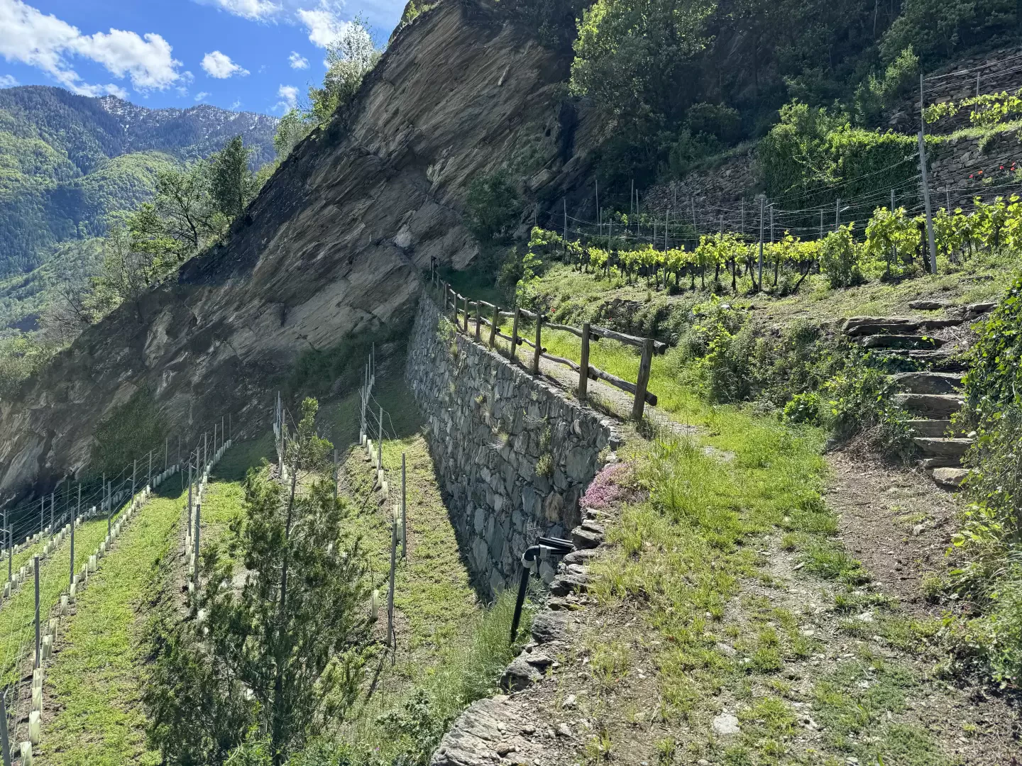
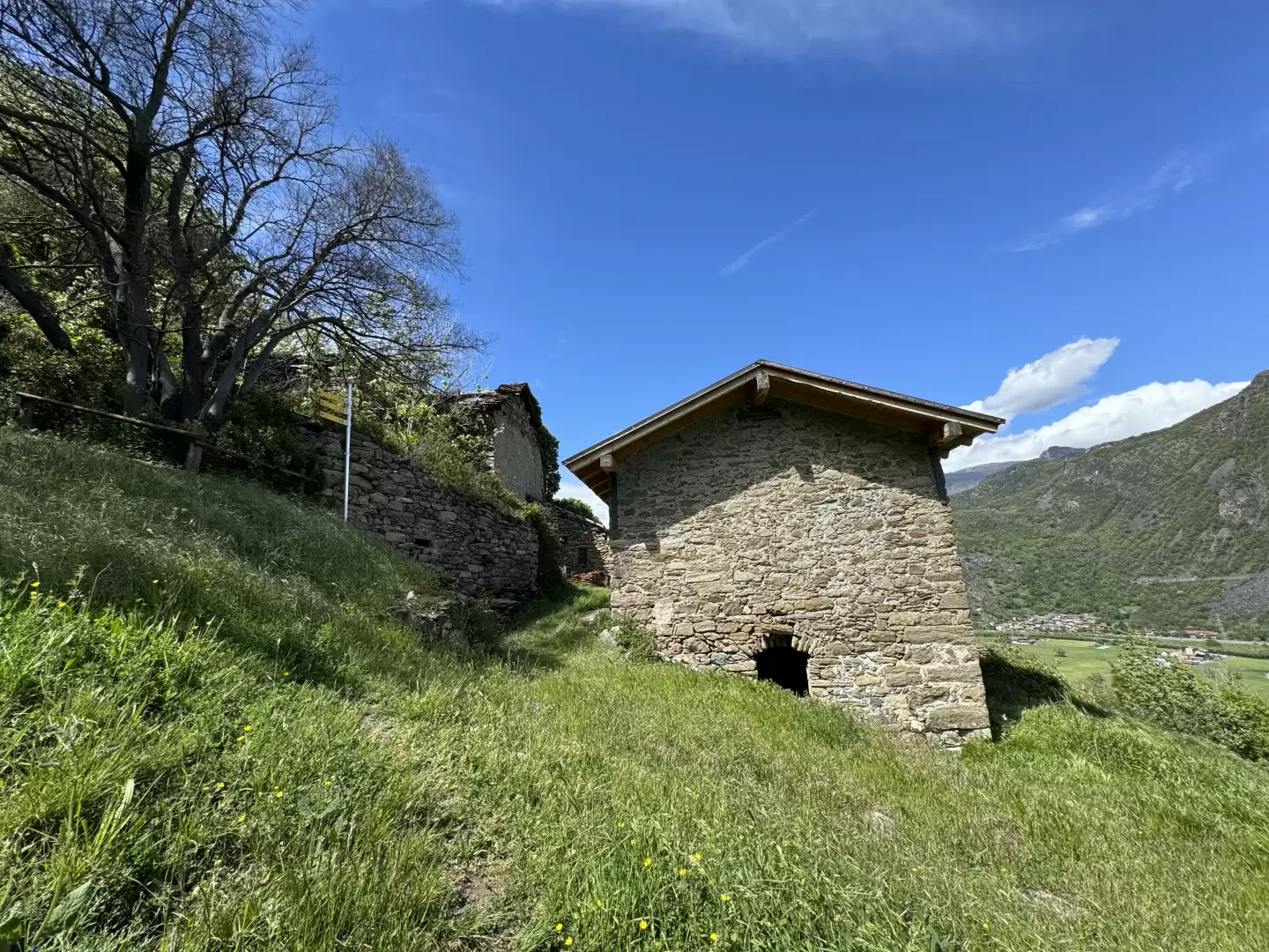
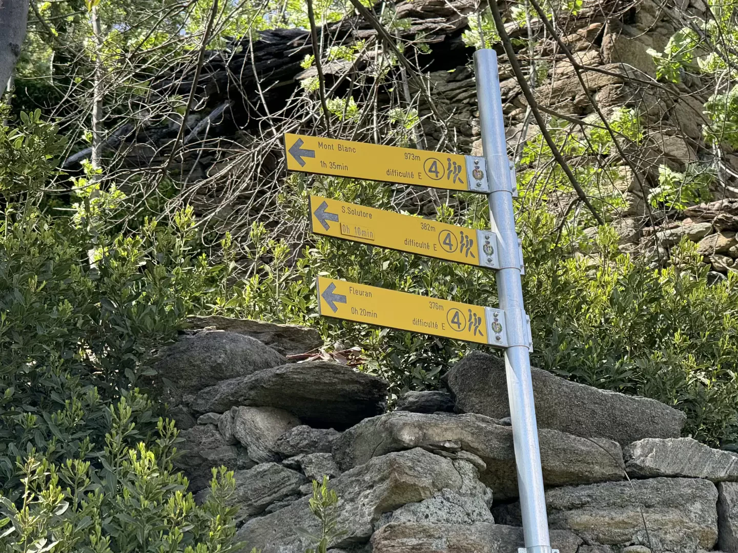
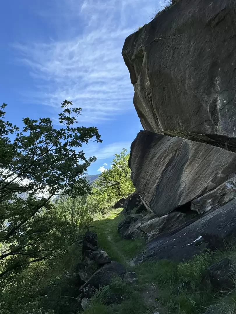
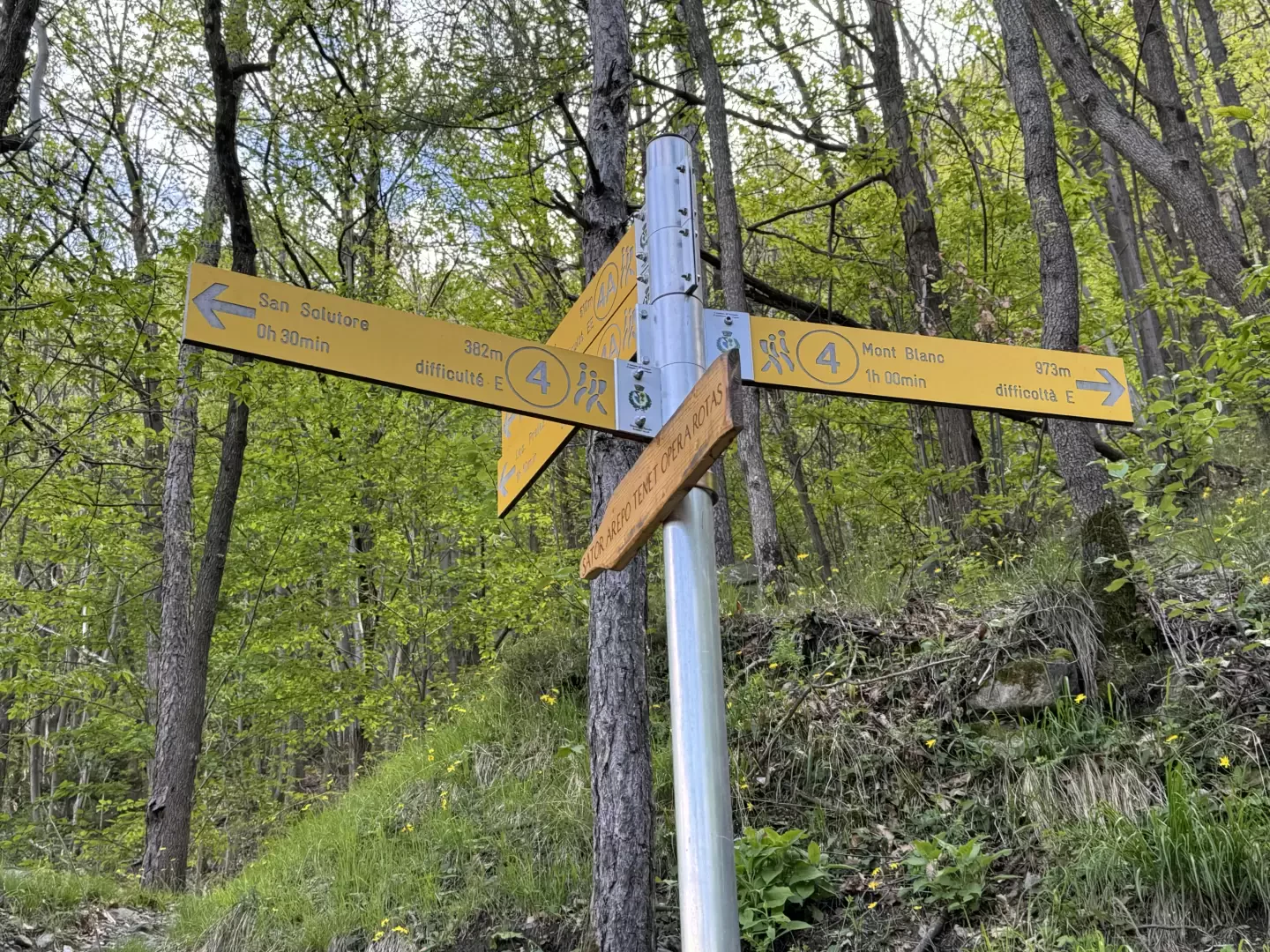
0h00' 0.00km Take the path that starts near the explanatory panel showing the paths of Issogne. After a few metres, on the right, you will come to the characteristic Fleuran chapel dedicated to Saint-Solutor, marked by a plaque with the references of the Marble Path. A little further on, you will come to a signpost indicating the destination of this hike. Following the yellow arrows, continue along the path that leaves a beautiful vineyard on the left before making a leftward turn and coming to a rocky outcrop before turning right and following an ascending diagonal along a fairly uphill section of the path. As you gain height, interesting views open up over the plain below and the not-so-distant Verrès. The trail continues at a moderate gradient, leaving a beautiful meadow to the right, and in a few minutes you reach Lo Creston (485m), a small hamlet consisting of two houses. Near the marker there is a 120-year-old laurel tree (Laurus nobilis).
0h15' 0.42km Turn left and follow the marker on the path that follows the rocky slope halfway up the hillside. Some stone steps simplify the walker's progression. After reaching a treeless section, with a beautiful view of Verrès, re-enter the oak forest (Quercus pubescens), always on the path that alternates uphill stretches with short plateaus, until reaching the junction for Prelaz marked by a marker (631m).
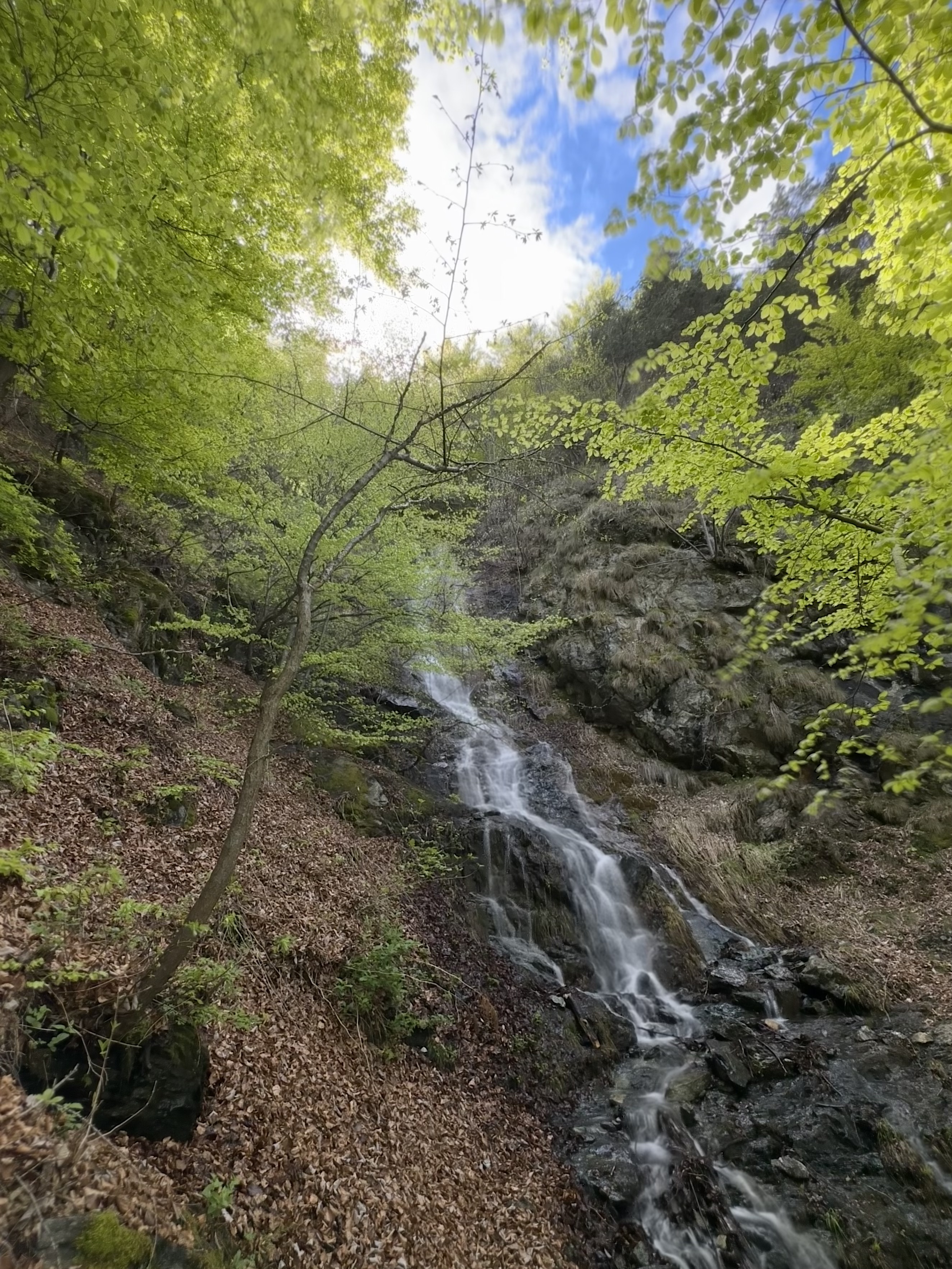
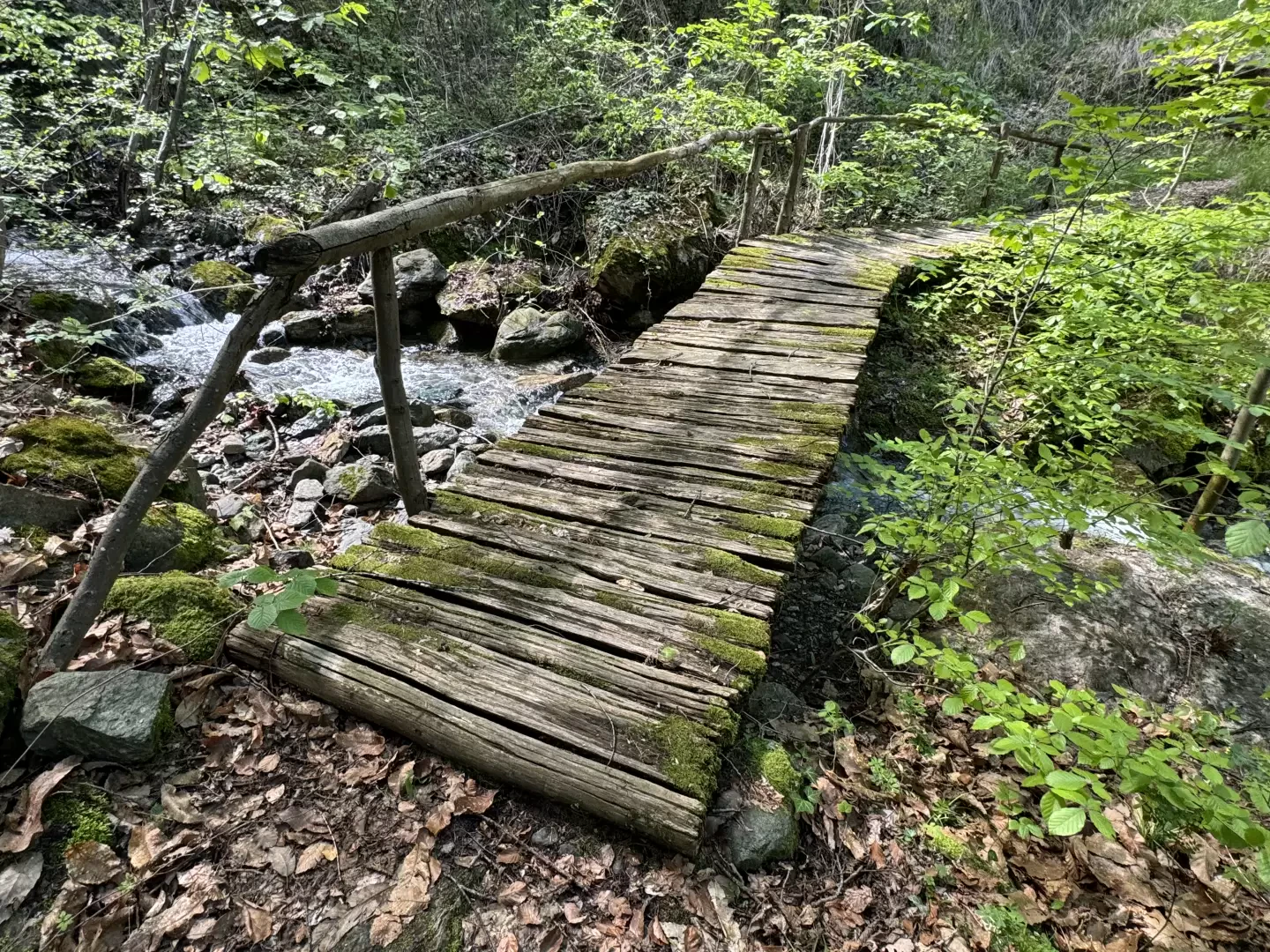
0h50' 1.05km Continue straight on and enter the Torrent de Fava valley, which will be crossed shortly afterwards over a small wooden bridge. Climb up the orographic left-hand side of the little valley and then continue through the oak woodland until you come to a new crossroads, which is marked with a milestone with a sign (763m).
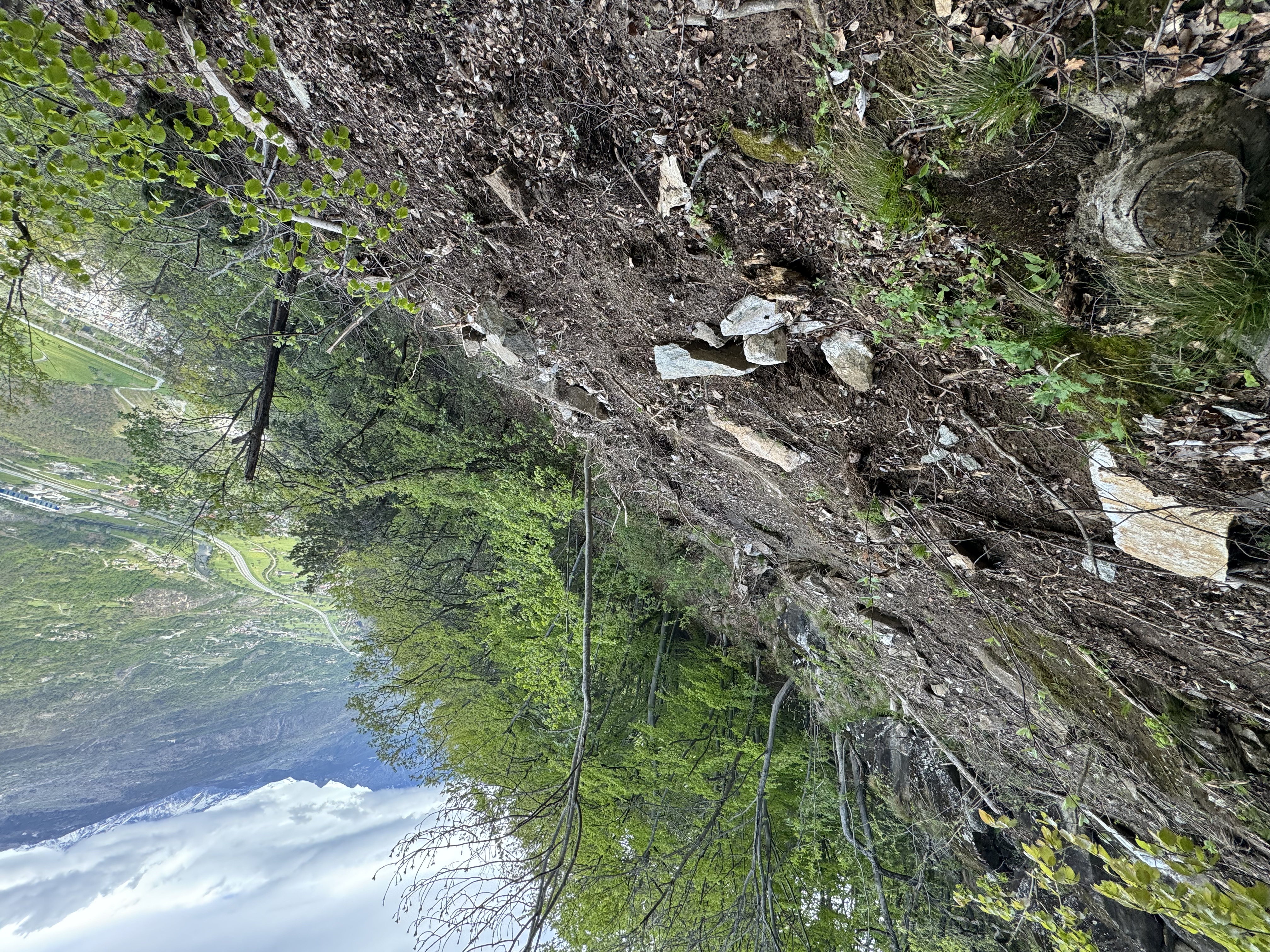
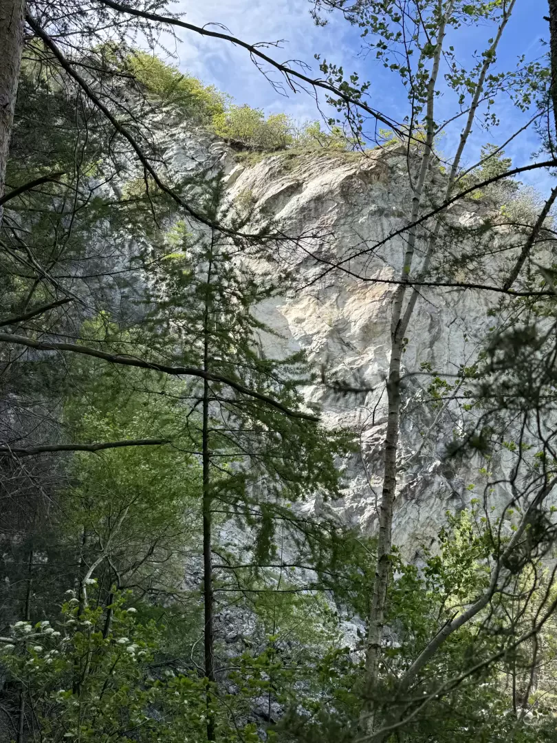
1h10' 1.51km Neglect path to the left, which leads to Mure, and continue straight on through the woodland, which gradually becomes predominantly beech (Fagus sylvatica). With a series of twists and turns, you gain height until you come across the unusual presence of an excavator: you are now in the vicinity of the old marble quarry, which gives rise to the path, and which can be seen among the vegetation on the right (878m).
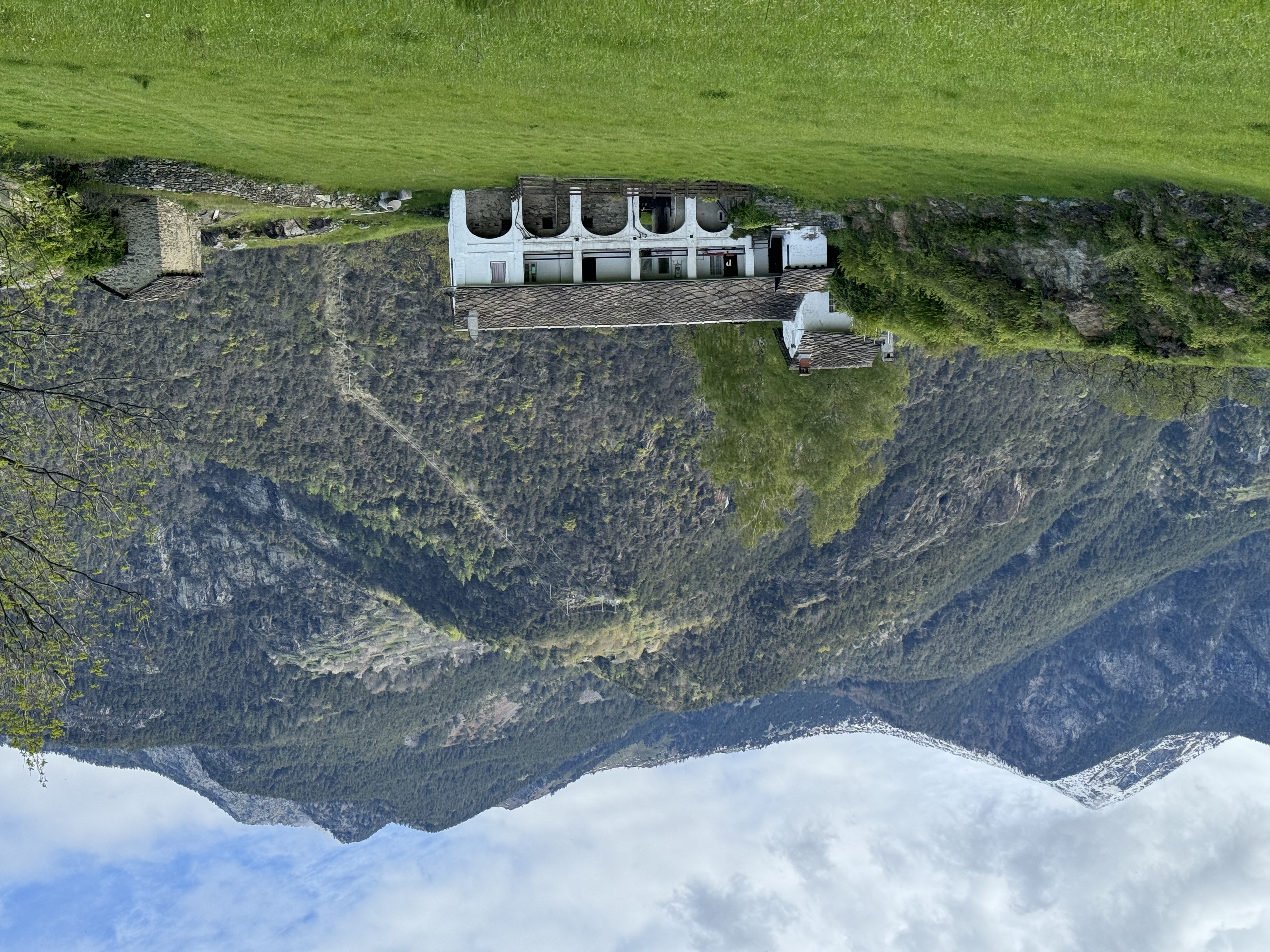
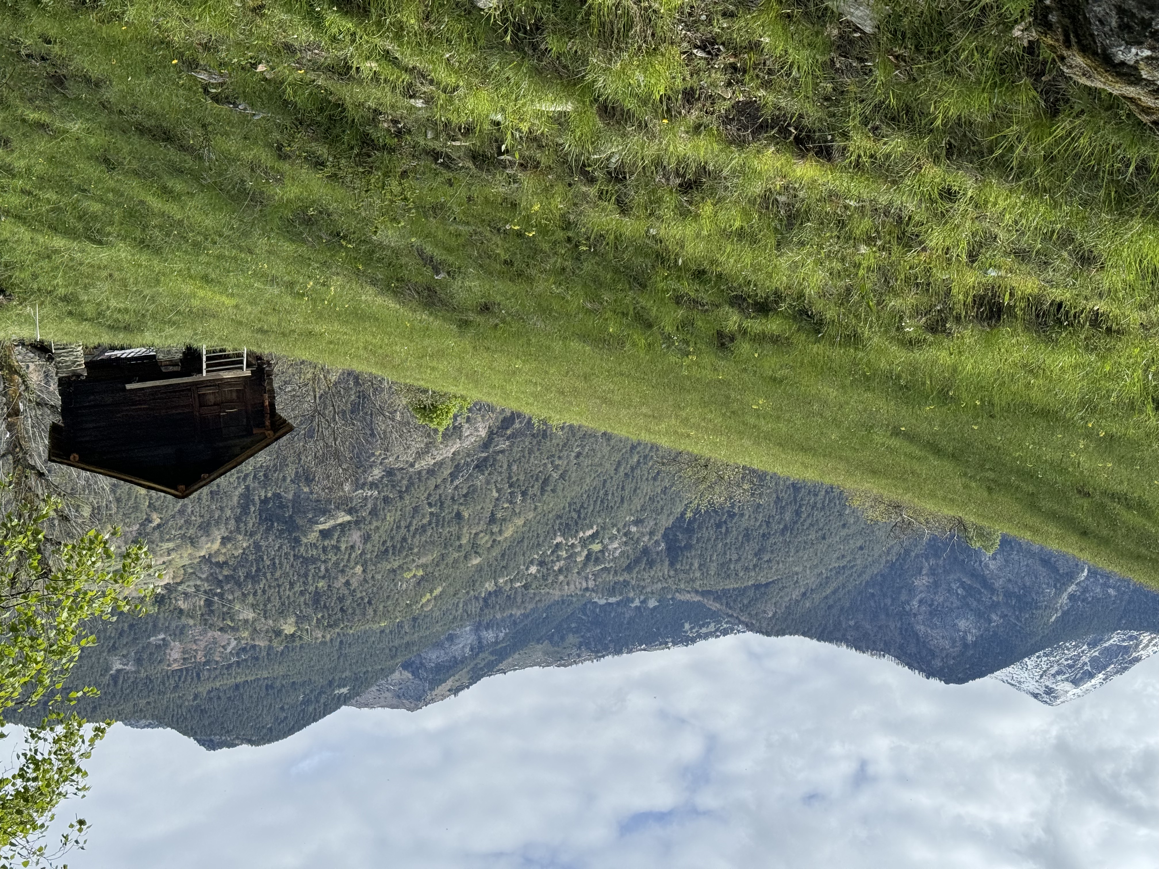
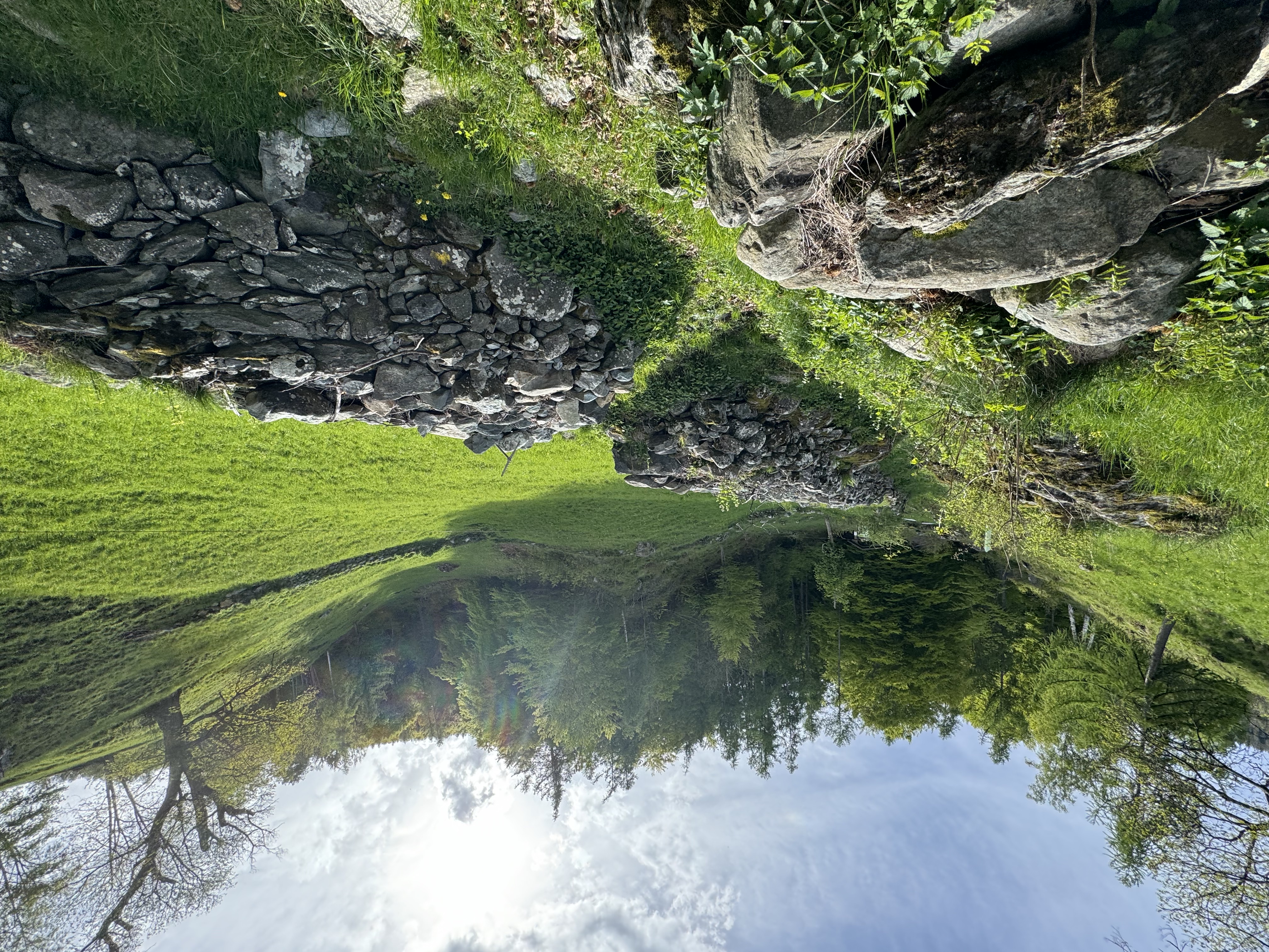
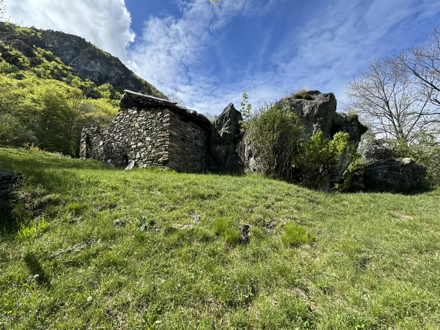
1h10' 1.85km The path continues to the left and, after a few twists and turns, reaches the knoll where the small mountain pasture of Mont Blanc is located (973m) 1h45' 2.14km .
The return journey takes place along the same path as the outward journey 1h00' 2.14km .
.Points of interest
- Saint-Solutor Chapel
- Creston Monumental Wall
- Marble Quarry
- Mont Blanc
Galleria fotografica
We have been there
Edited by:
Massimo Martini
Mont Blanc, anello dalla Cappella di Saint-Solutor
0h00' Alla scoperta dei sentieri di Issogne. Partito nel pomeriggio dalla Cappella dedicata a Saint-Solutor ho risalito il Sentiero del marmo sino a Mont Blanc.
0h37' Da qui ho seguito le frecce gialle che accompagnano il selvaggio sentiero sino a Chantery. A metà percorso ho incontrato una frana che ha reso problematico il transito. Questo tratto di sentiero non è molto semplice e bisogna porre attenzione ad alcuni passaggi. Al termine della lunga traversata sono confluito sull'ameno pascolo di Chantery.
1h00' A questo punto ne ho approfittato per andare a ricercare il sentiero che da Chantery conduce a Boden. Dopo un primo tratto su bella mulattiera immersa nella faggeta ho svoltato a destra seguendo delle fettucce bianco rosse che mi hanno guidato sulla traccia di sentiero nel folto bosco sino al guado del Torrent Meriaz (piedi a mollo vista la discreta portata). Breve risalita del versante ed infine ho raggiunto Boden.
1h15' Da Boden raggiungo infine l'intervallivo e discendo sino a Champdepraz e da qui a Mure, Favà e Fleuran 01h55'.