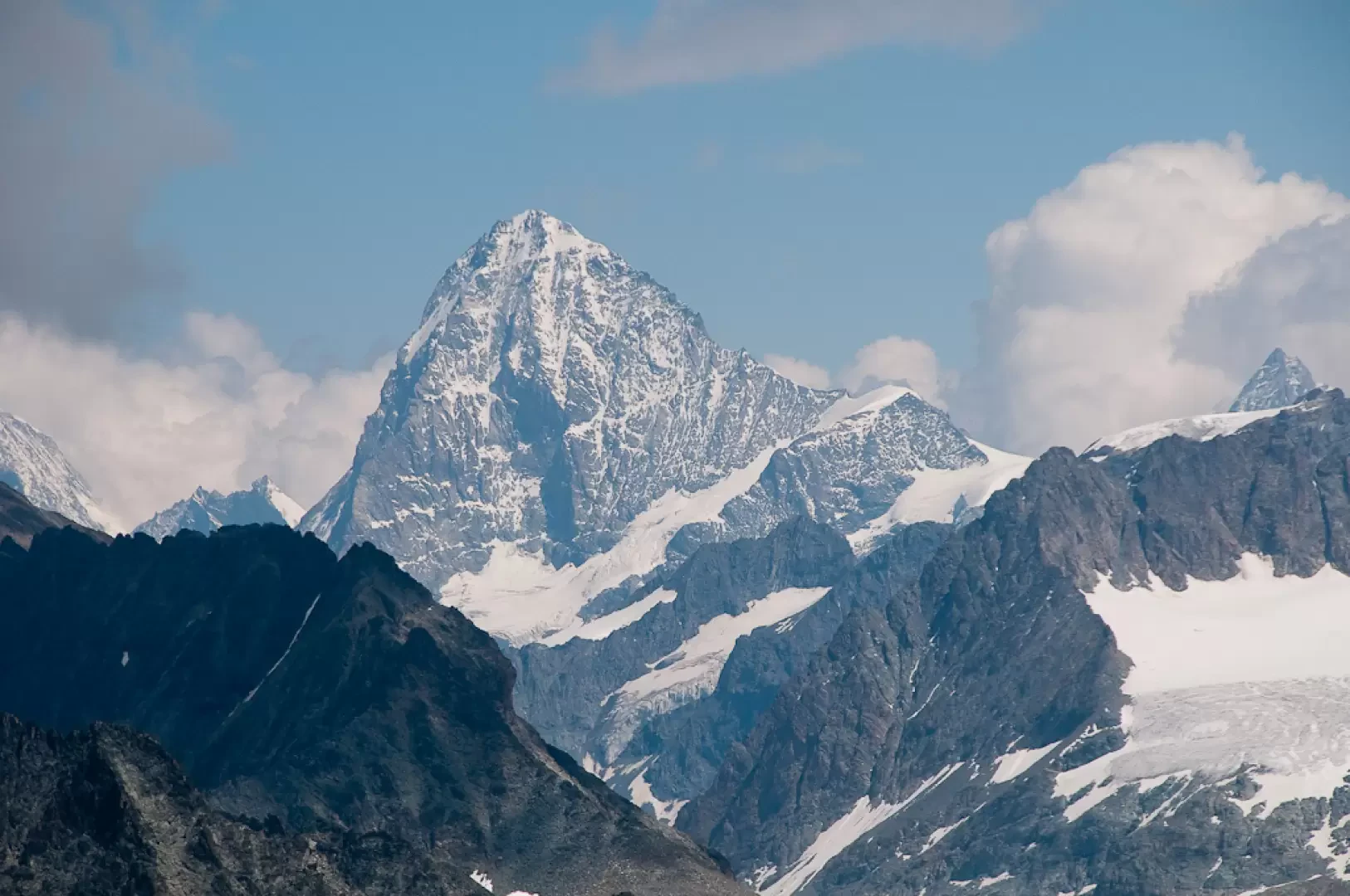
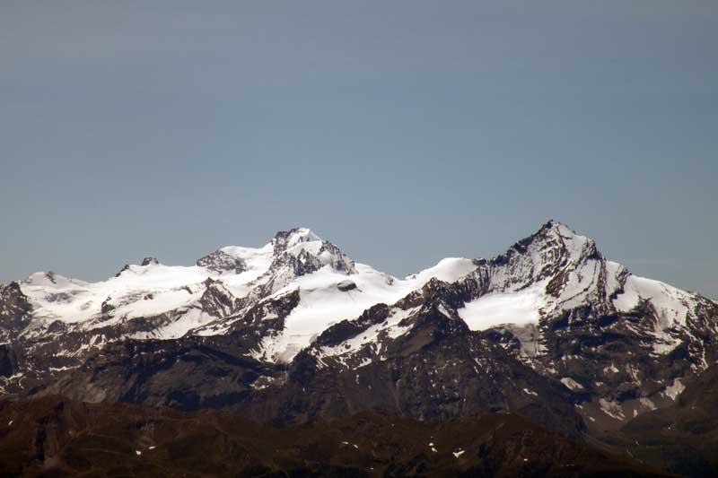
Mont Avril, from Glassier

Edited by:
Massimo Martini
Updated at: 25/08/2025
Access
Lasciare l'autostrada alla barriera di Aosta Est, svoltare a destra e imboccare la superstrada , da seguire per 8,4 chilometri. All’uscita della galleria, dopo 130 metri, svoltare leggermente a destra per imboccare la strada regionale per Bionaz. Alla rotonda, prendere la seconda uscita e proseguire lungo la regionale, superando i villaggi di Signayes e Rhins, e l’abitato di Valpelline. Dopo 16,9 chilometri, svoltare a sinistra e prendere la strada regionale per Ollomont. Risalire la regionale attraversando il capoluogo di Ollomont e i villaggi di Voueces e Vaud, fino a giungere, dopo 23,8 chilometri, a Glassier. Poco prima del villaggio, sulla sinistra, si trova un parcheggio 🅿️ gratuito con una stazione di ricarica per veicoli elettrici.
Distanza e tempo di percorrenza
🕒 Tempo di percorrenza: 29 minuti
📏 Distanza: 23,8 km
Navigazione GPS
📍 Come arrivare con Google Maps
📍 Come arrivare con Apple Maps
Nota importante
Le indicazioni fornite sono state verificate alla data del rilievo dell’itinerario. Prima della partenza, è consigliabile verificare eventuali variazioni del percorso. Per ottenere indicazioni aggiornate e dettagliate, si consiglia l’uso di Google Maps o Apple Maps.
Introduction
Description
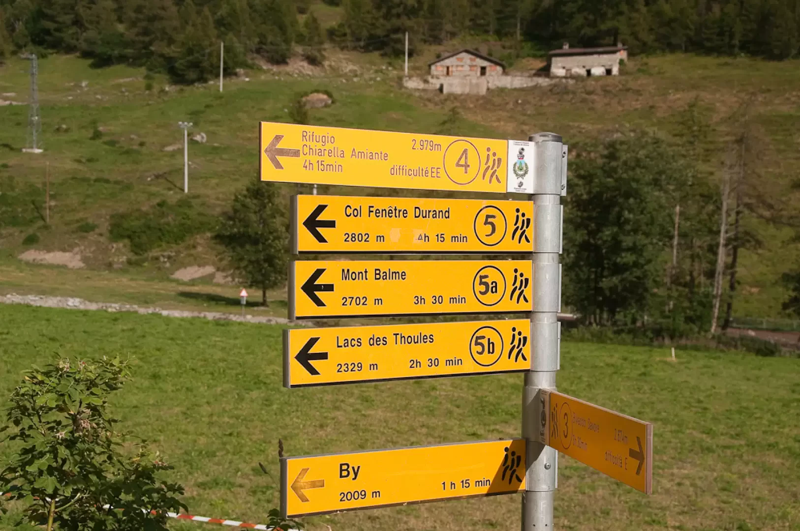
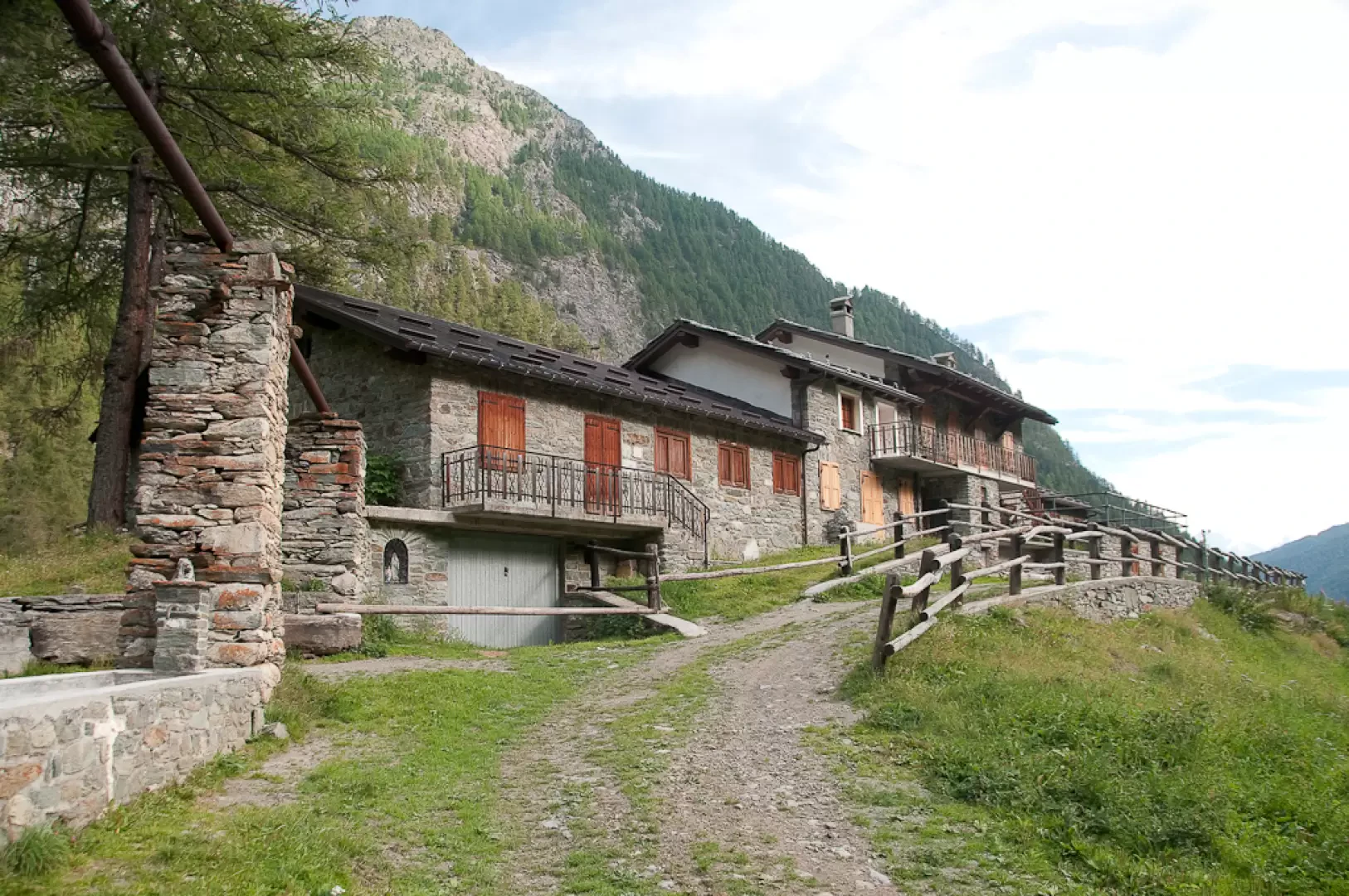
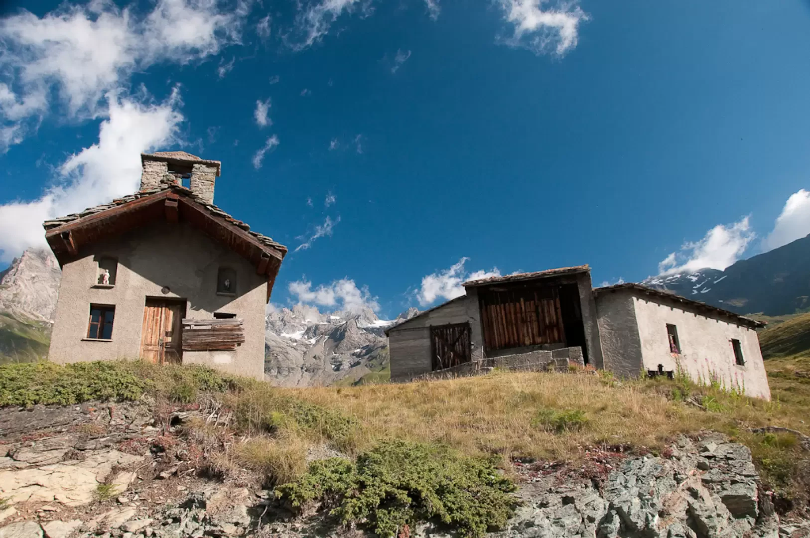
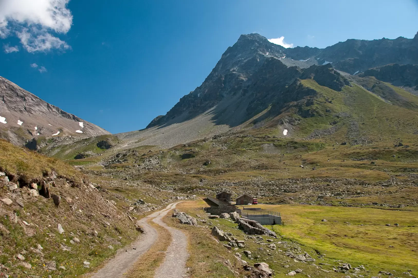
0h00' Leaving the car, you will come to a series of signposts: follow the signs for path to the Fenêtre Durand. Walk up a pleasant grassy track bordered, in the first section, by a wooden railing and then by a splendid dry stone wall. After a few twists and turns, go over a hump before reaching the characteristic alpine pastureland of Pont (1681m, 0h15') with its peculiar aqueduct supported by stone columns.
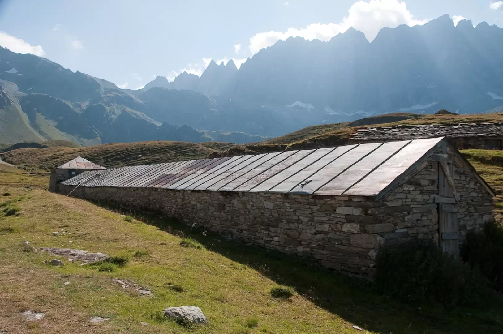
After the aqueduct, cross two streams on convenient little bridges and start climbing up the beautiful mule track again. With a series of twists and turns, you gain height without too much effort, leaving the cottages of Crottes (1738m) to the right.
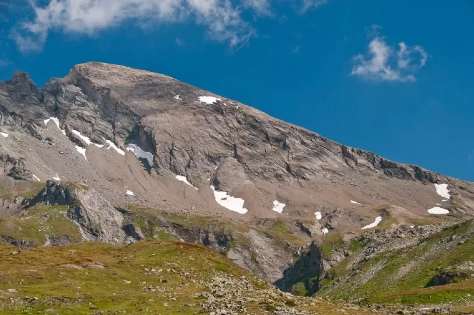
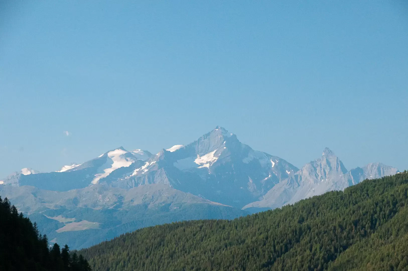
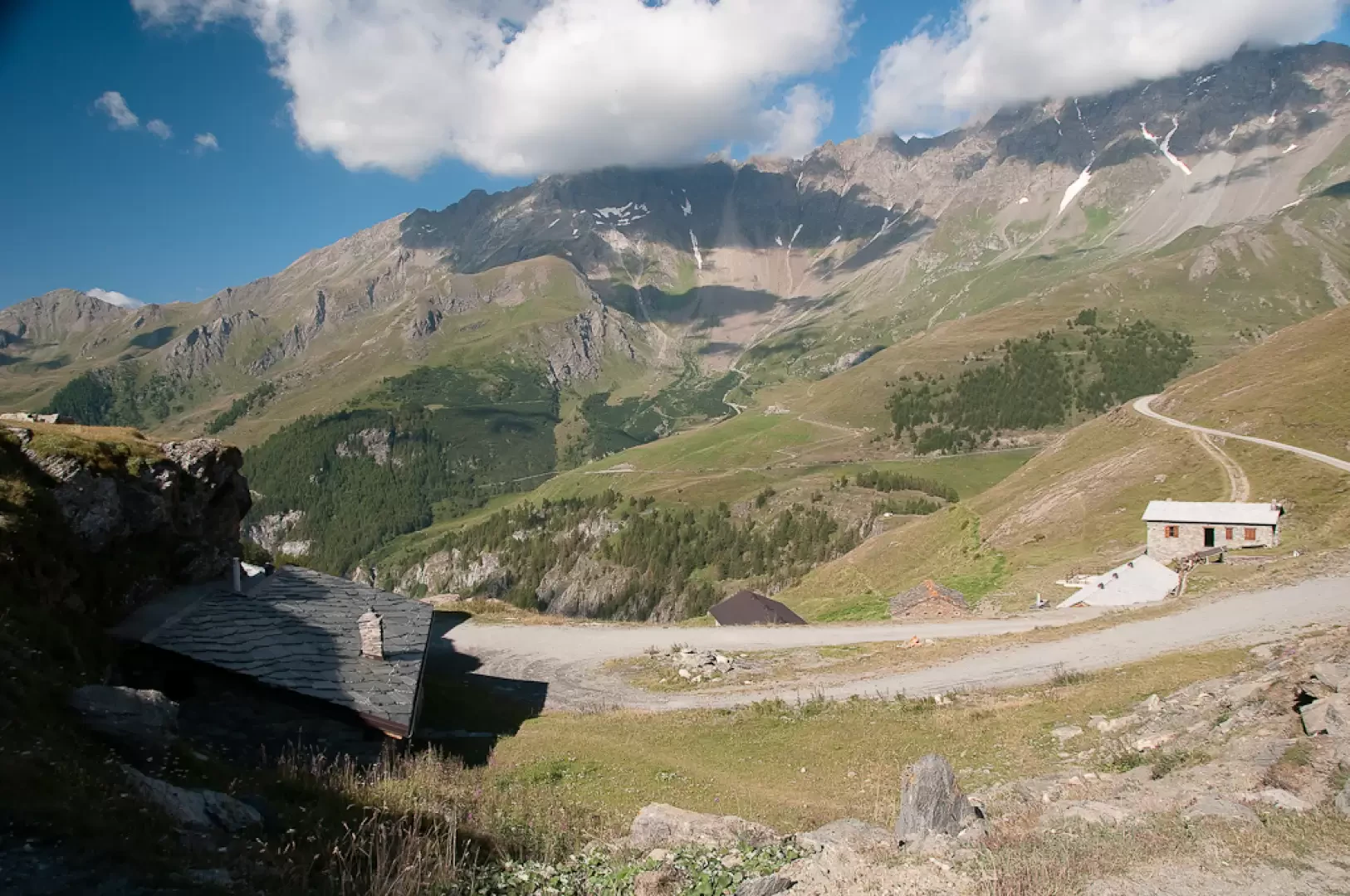
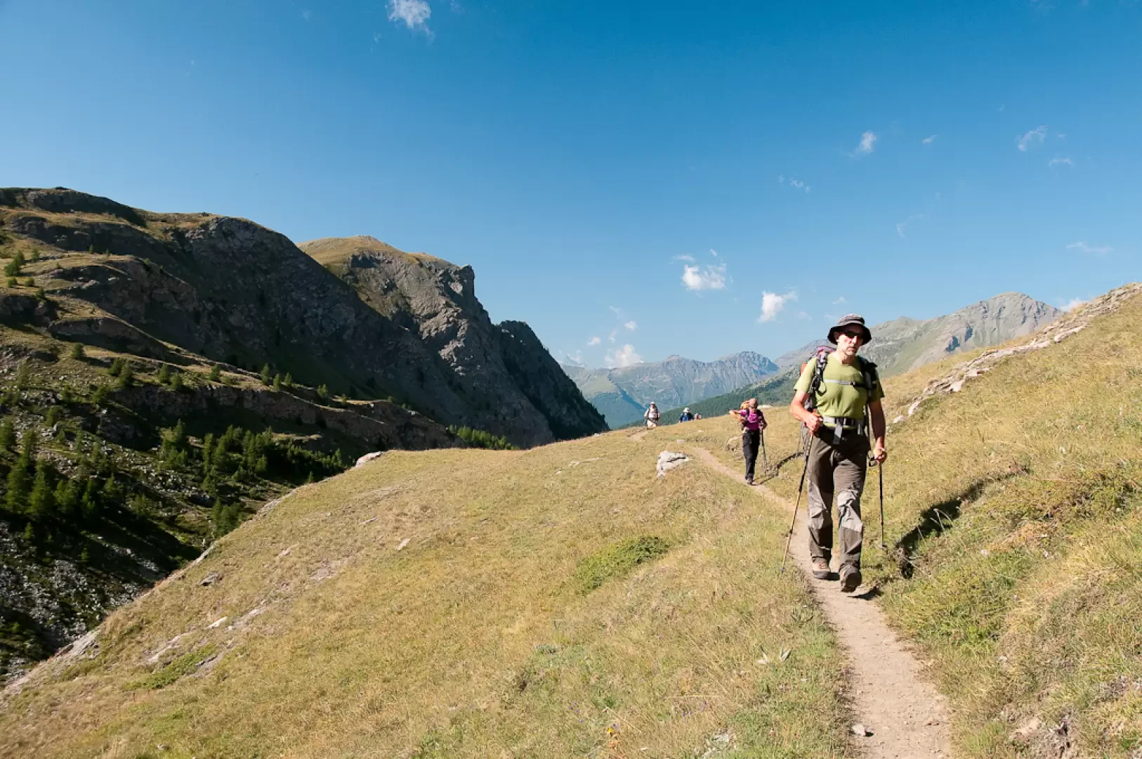
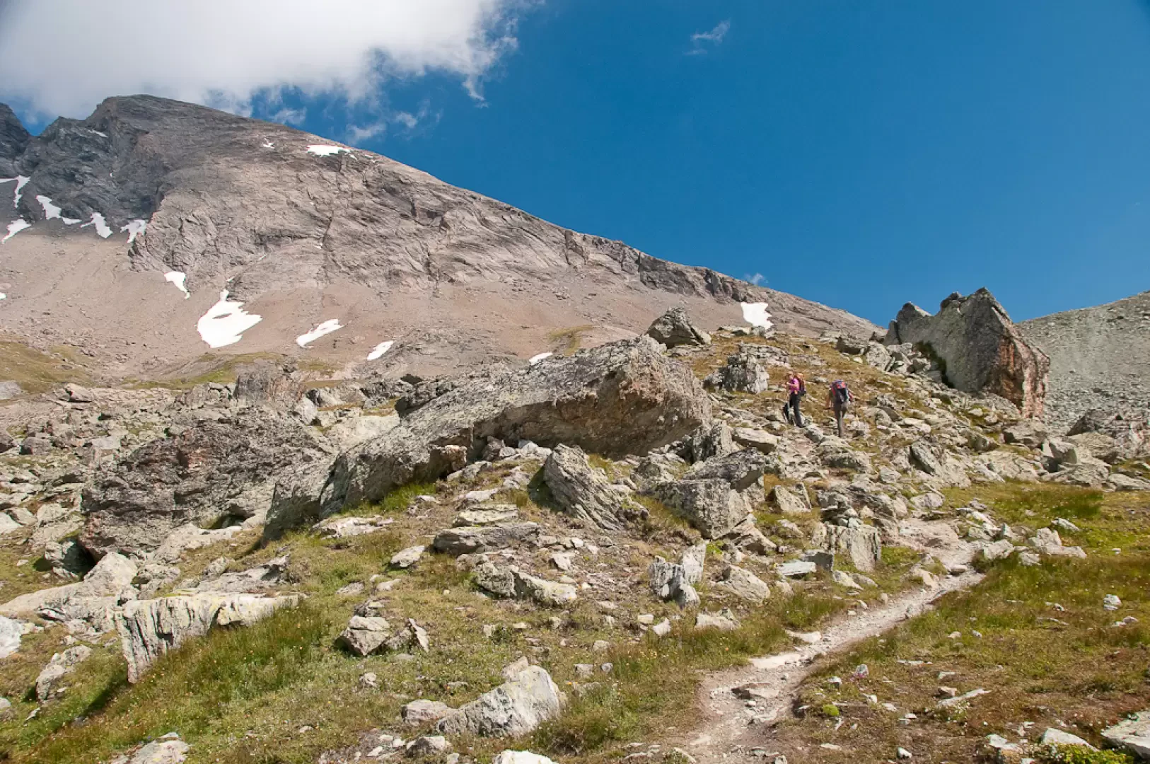
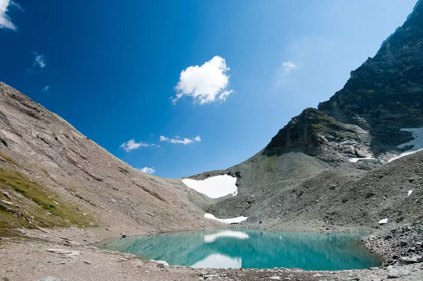
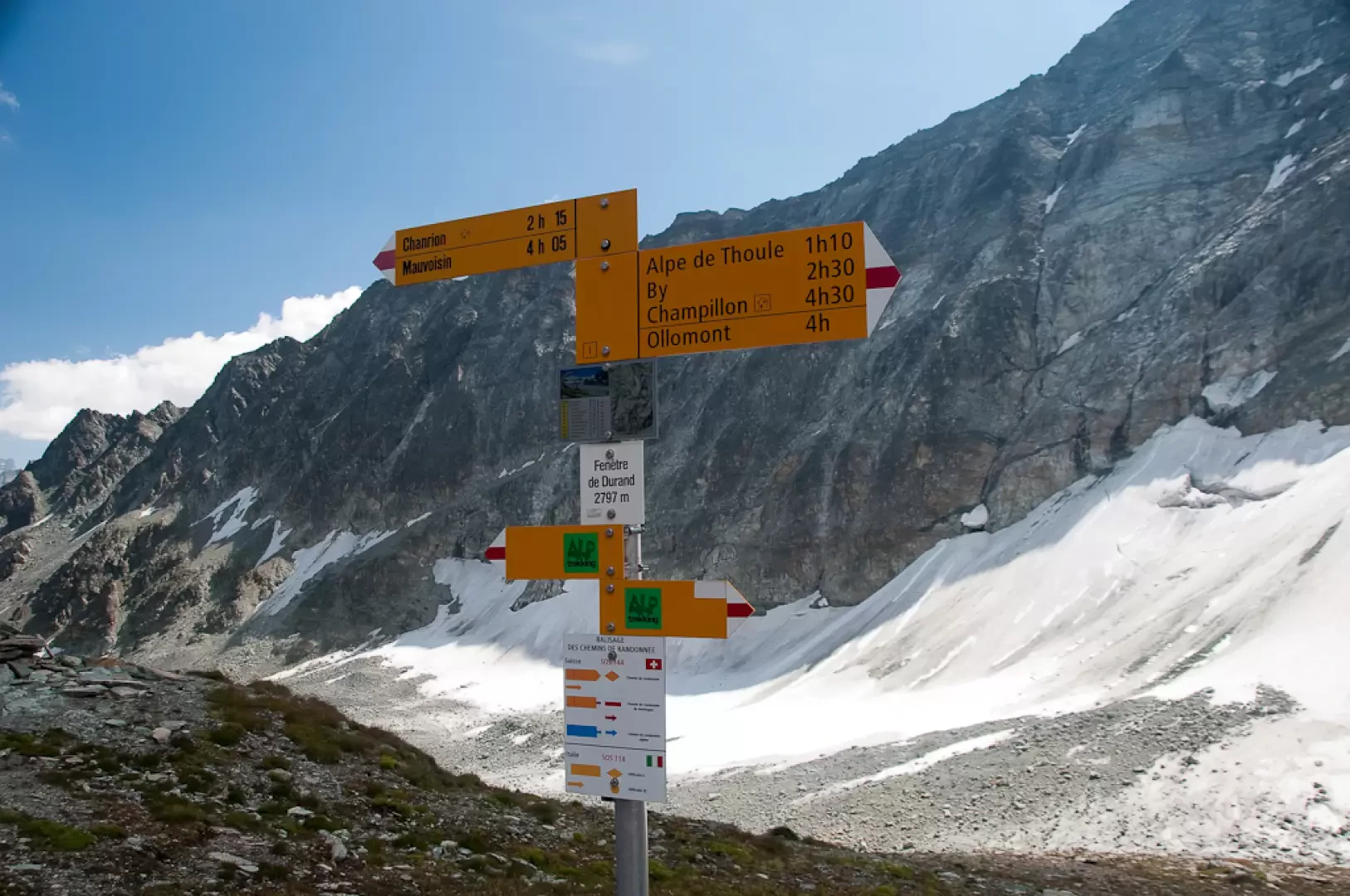
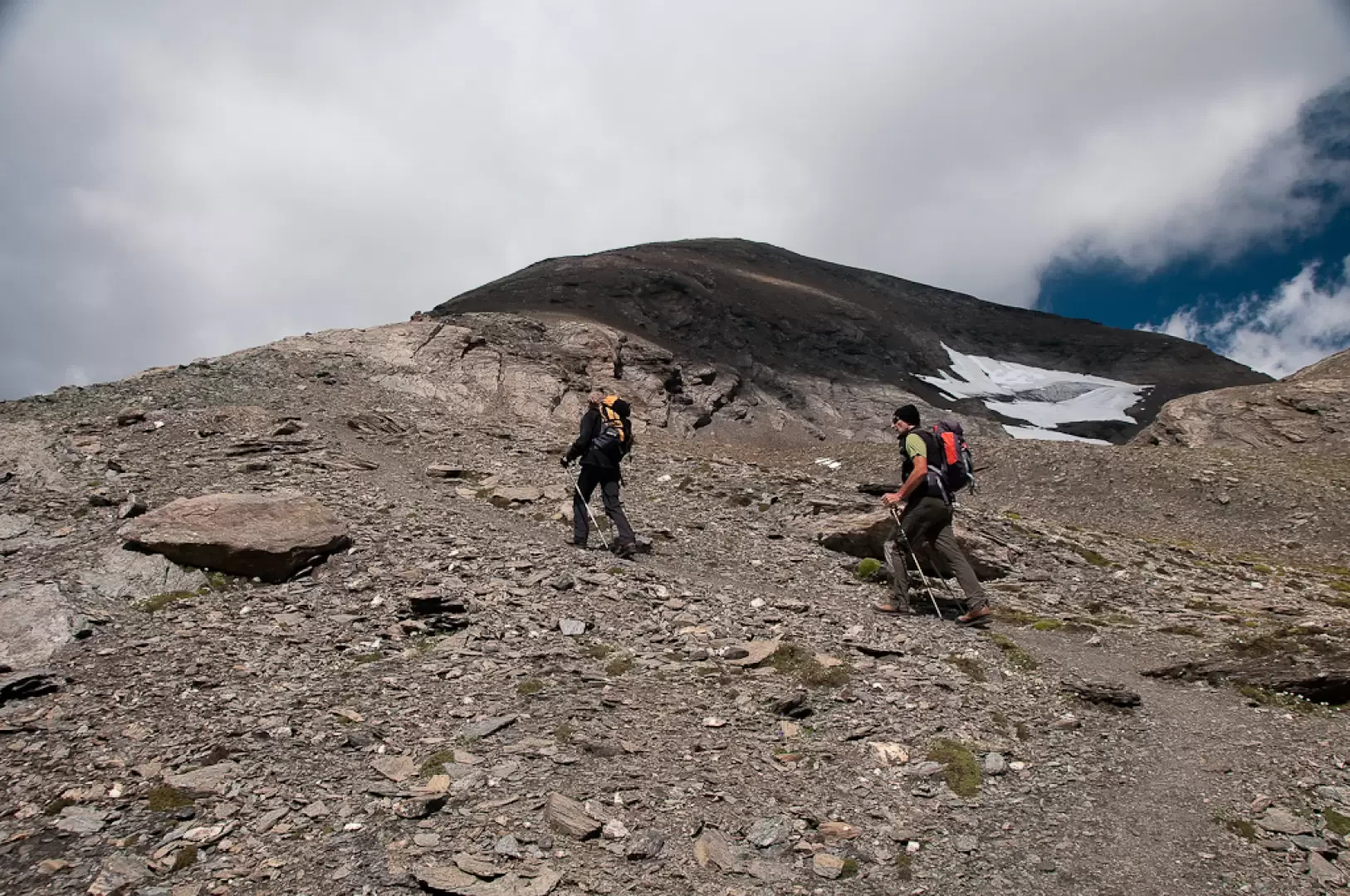
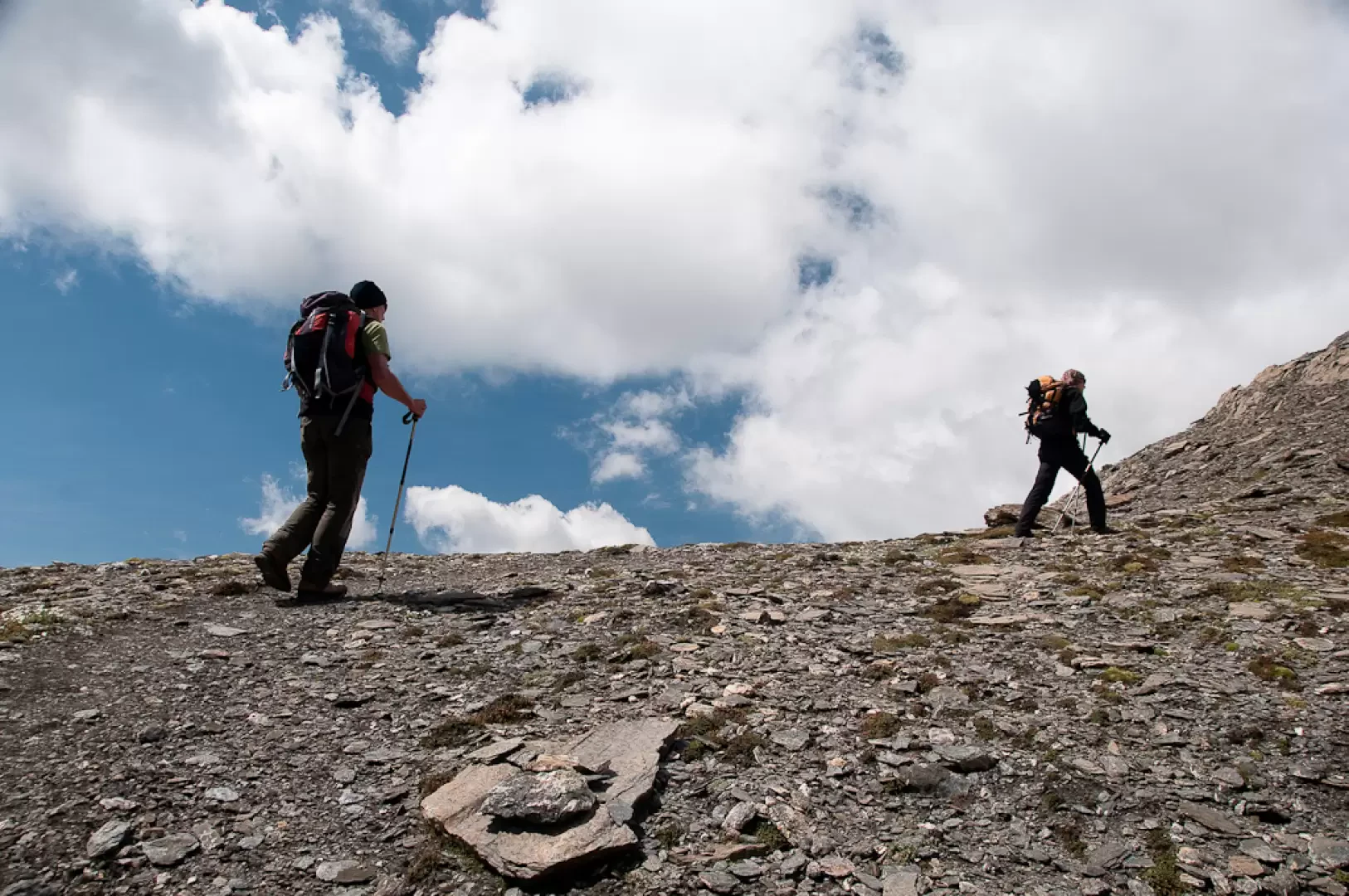
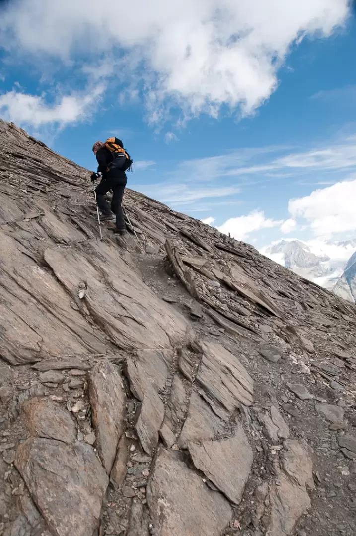
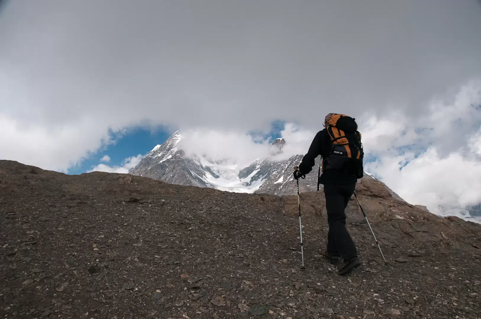
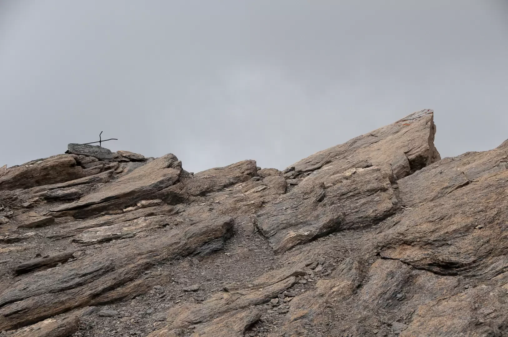
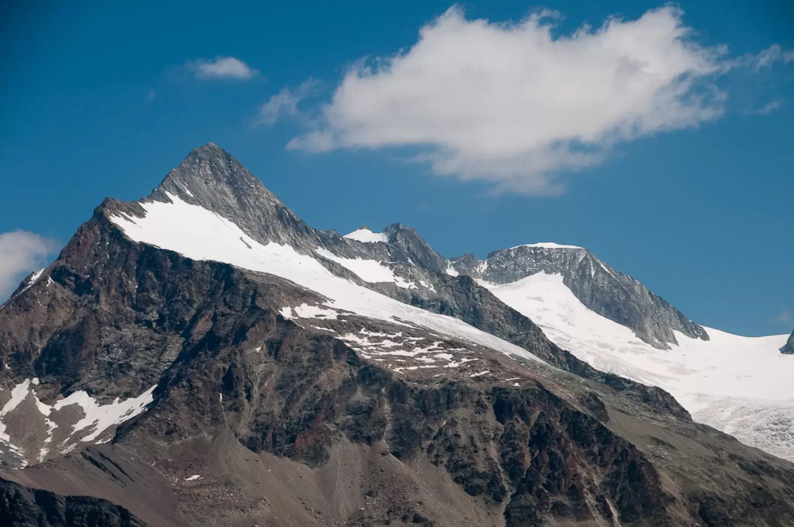
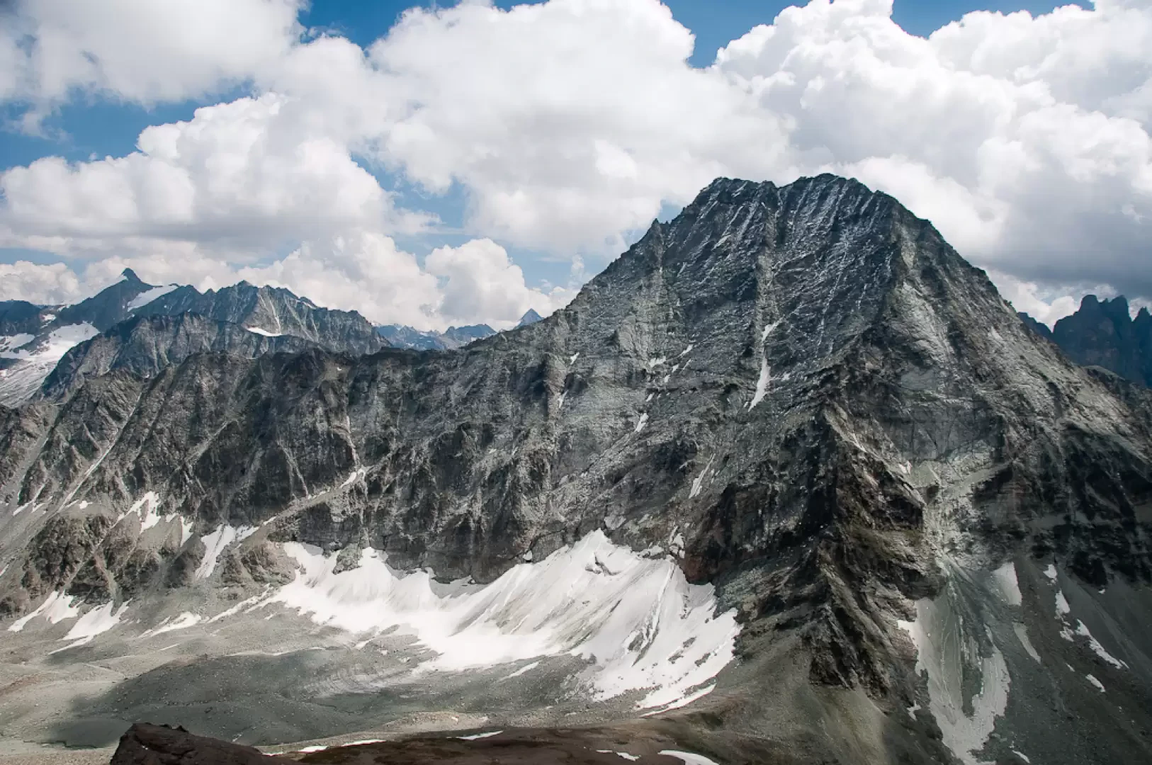
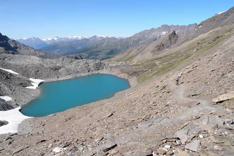
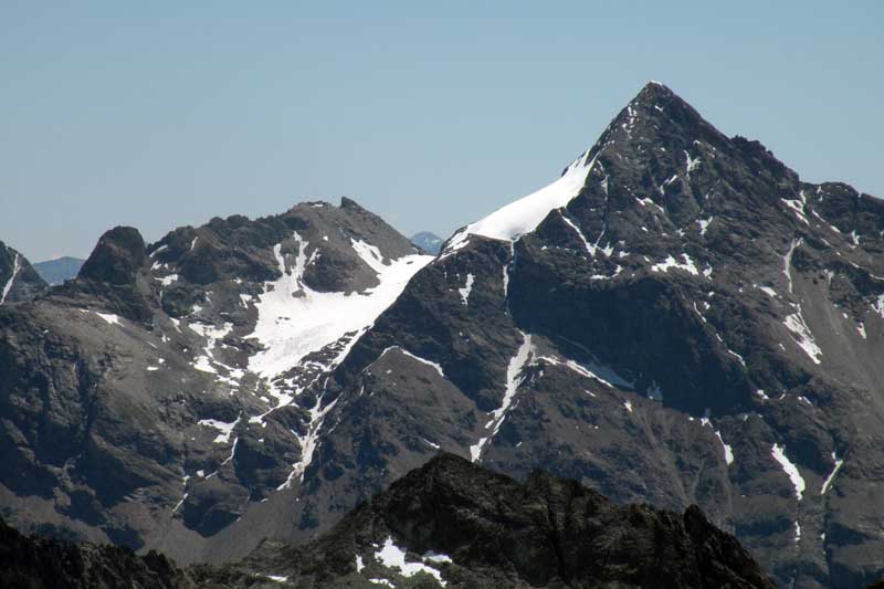
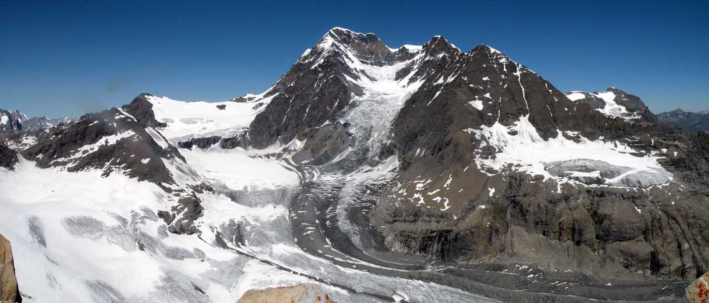
You cross a sparse band of larch trees, which offers interesting views of the Grivola. Coming out of the wooded belt, proceed with a level stretch to the left and then resume the climb until reaching a farm track just below Farinet. Take the track to the left for a few metres and then turn right onto another track that soon leads to the trailhead. Turn right and proceed on the ascending half-steep track that joins the farm track again in a few minutes. Follow the track to the right and, after a short descent, reach the group of cottages that make up Balme di Bal (2130m, ). Once in the village, pass a couple of hairpin bends before taking the path to the left. Follow the wide path up the meadow slope until it crosses the track again; continue now as the scenery widens and the elegant pyramid of Mont Gelé appears for the first time. The path crosses a hollow with a long, almost flat stretch until reaching a small ford: from here, with a slight turn to the right, you enter a small depression that precedes the Lombardin pastureland (2309m). At the height of the alpine pasture, take the dirt road again and follow it as far as the next alpine pasture of Thoules (2381m, ) where you will come to a new marker. Take the path on the left that initially runs alongside the bed of a stream until reaching a wide flat stretch in the presence of Mont Avril. At the end of the plateau, the final ascent towards the pass begins; in the initial stretch, follow long bends that allow you to overcome a first step of glacial origin. Once past the first step, you enter a more austere environment, the vegetation slowly disappearing as you reach the crystal-clear Lake Fenêtre (2709m). The trail continues to the left of the lake, climbing up the scree slope halfway up the mountainside until it reaches a few bumps before the Fenêtre Durand (2805m, 3h45'). To the left of the marker indicating the pass, a track starts off that soon becomes steep. Climb the slope with an interminable series of small turns that lead fairly quickly to a small plateau and then, after passing a small rocky notch, to a panoramic saddle. From here, the ascent is constantly very sloping, but the path is nevertheless well laid out, so that you ascend the scree slope with some speed. Shortly before the summit, we leave the scree slope to cross some sloping slabs without any problems until we reach the wide summit esplanade of Mont Avril (3347m, 5h00). From the summit, in addition to an amazing view of the Grand-Combin in front, there is a rewarding panorama of the main peaks of the Swiss Pennines, from Ruinette to Mont Collon. The descent follows the same route as on the outward journey (3h00').
Bibliographic references
- Pietro and Matteo Giglio, Valle d'Aosta oltre il sentiero, Centro di Documentazione Alpina, Turin 1994
- Gino Buscaini, Alpi Pennine Vol.1, Guida dei Monti d'Italia, CAI and TCI, Milan, 1971
- Gran San Bernardo, Ollomont, Carta dei sentieri foglio 5, 1:25000, L'Escursionista Editore, Rimini, 2005
Galleria fotografica
We have been there

Edited by:
Giancarlo Beretta
Mont Avril
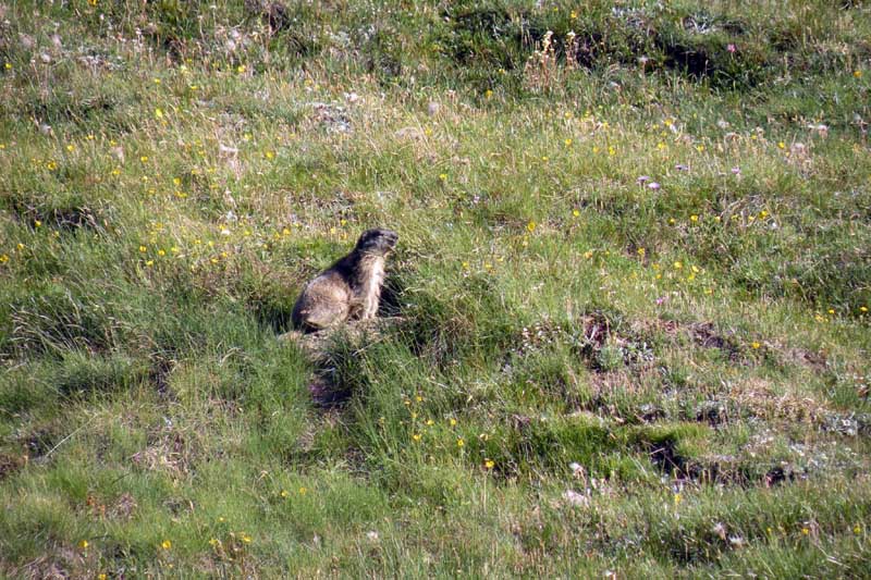
Giornata super per una salita super. Salita al fresco con un bel venticello che ci ha fatto sudare poco per raggiungere la vetta da cui il panorama è bellissimo e a perdita d'occhio; quarta salita per me e prima per Stefi che voleva fare un po' di dislivello: subito accontentata! Visto più marmotte che escursionisti(proprio pochi per una così splendida giornata). Avvistamenti faunistici: Marmota marmota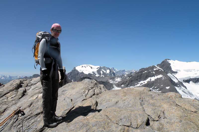


Edited by:
Giancarlo Beretta