Molassana, by Pino Soprano
Access
From Molassana (a district of Genoa) with the Amt's small secondary bus no. 481 (8 seats and as many standing places - runs every 45'), you get back up to Pino Soprano. If you don't have to go outside the municipal boundaries, you must get off before the tunnel those who stray even a few metres, leaving the municipality!
.Introduction
Personally, I am very attached to part of this trail. In fact, in its development with a broader scope, between Righi and Casella, for me it is like taking a plunge into the distant past... in practice, it was the first great little hiking adventure conceived and then realised from the beginning of the 1980s of last century... And so it was with a newfound pleasure that I retraced part of that route; it brought me back to that carefree attitude that kids have...
Description
to Molassana
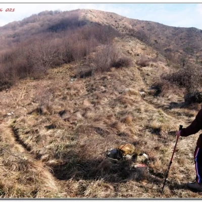
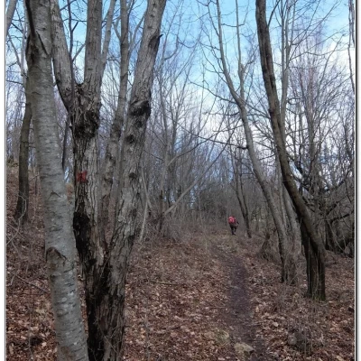
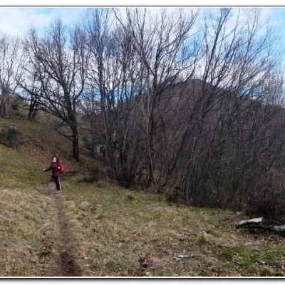
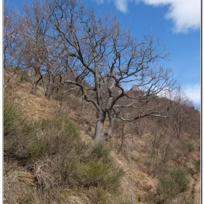
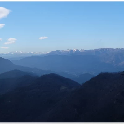
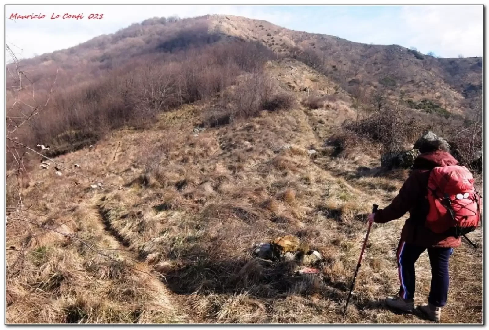
From Pino Soprano (360 m), the first section follows the second part of the Valnoci aqueduct track. After about 1h, you leave the main path, which leads to the aqueduct outlet. Then one climbs to the left into the forest. After an ascent, you come to a saddle where there is an important fork that is not well marked: left for Crocetta Orero, straight on (methane pipeline) for Monte Alpe and right for Creto. Attention must be paid: for a short distance this last marking is lost, then it reappears bending to the right and recovering a few metres of altitude. Continue until you find the Alta Via. The small road becomes asphalted, passing several beautiful little villas in Creto (604 m). The descent to Molassana is marked by a bend. The mule track loses height steeply: it is humid and you will struggle due to the slippery nature of the terrain (geometric signs are clearly visible). One proceeds very slowly. Caution is required: there are three steel cable crossings (two at eye level!).
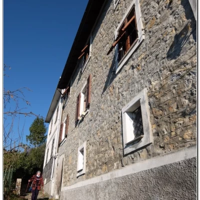
At the end of the most uneven and ruined section, you pass a large building (Case Lovega 338 m) of 3 storeys, well in order. The track is now better and after a hairpin bend you must be careful: the deviation is not clear because the red symbol has completely disappeared! You must leave the mule track to descend to the left and cross a small bridge. You skirt a large building on the right and shortly afterwards cross some houses and return to the asphalt. You join the road to Cartagenova keeping to the left. Follow the road as far as a tavern where, from a bend, you take a creuza downhill (Salita Cotella). We continue to lose height always following the same creuza until we come out at the end of Via San Felice and Via Molassana (50 m).
In short: Diff. E - displ. +300 m -600 m - 10.5 km - 4h30 approx. total + stops -
Weather: a little cloudy in the morning then clear, no wind and fair temperatures considering the period. Ride comfort: good in the first section, then sufficient and very poor on the descent. Best time of year: autumn to spring, avoiding the cooler days. Tour interest: medium +
If you would like, here is the photo pdf file, with a bit more news:
http://www.cralgalliera.altervista.org/Creto021.pdf
http://www.cralgalliera.altervista.org/altre2021.htmhttp://www.cralgalliera.altervista.org/anno2020.htm
http://www.cralgalliera.altervista.org/altre2020.htm
NB: in case of an excursion, always check with FIE, Cai, any park authority or other institutions, pro loco, etc, that there have been no changes that have increased the difficulties! No liability is accepted. The present text is purely indicative and not exhaustive.
Info Hiking Section Cral Galliera: http://www.cralgalliera.altervista.org/esc.htm
Trips 2020/21 at the link: http://www.cralgalliera.altervista.org/gite020.pdf
Trek classic: Righi - Casella, a legendary adventure from the 1980s and other episodes .
Having retraced, after some 25 years (!) since the last time, the stretch of trail that leads off from the Valnoci aqueduct track to the base of Mount Alpe (to get to Creto) has triggered the most hidden and dormant neurons of the brain... Who knows how, so many details came back to mind and, once I found some photos taken during one of those outings, it seemed logical to put them down on paper, trying to put some order to the many thoughts.
Here, then, is the Pdf file: http://www.cralgalliera.altervista.org/RighiCasella.pdf
Other tales of past outings...
The long crossings, conceived and realised in the 1980s: http://www.cralgalliera.altervista.org/TrekClassic2.pdf
The other tours from the 1980s: http://www.cralgalliera.altervista.org/TrekClassic3.pdf
Note in the margin: http://www.cralgalliera.altervista.org/Nota.JPG
In the basic Trek classic 3 document, the subject of simpler tours was addressed but, who knows how, I only just remembered this other misadventure in hiking terms that deserves to be relived... Therefore, this short supplement to the original sheet is justified. For those who would like to read more, the link to the story is at: http://www.cralgalliera.altervista.org/TrekClassic3BIS.pdf
Dangerous crossroads between tennis and hiking, above Fontanigorda:
http://www.cralgalliera.altervista.org/TrekClassic4.pdf
http://www.cralgalliera.altervista.org/altre2021.htm
Good reading and have a good walk
Maurizio
