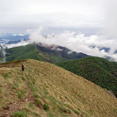
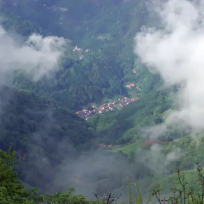
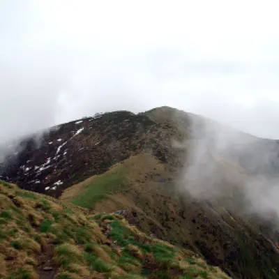
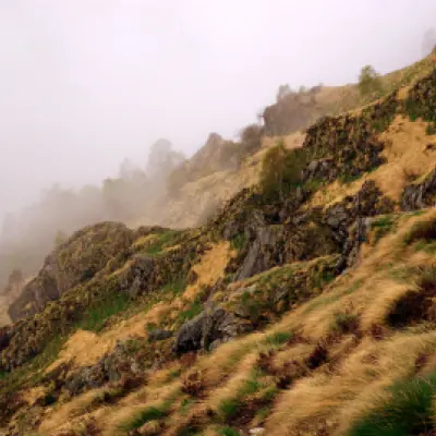
Massa del Turlo, from the Colma della Foglia
Access
From Milan to Gravellona Toce along the Autostrada dei Laghi motorway (as far as Sesto Calende), then along the A26. At the exit, follow the signs for Omegna, on Lake Orta. From the town centre, with some uncertainty, look for the entrance to the Provinciale delle Quarne; follow it until after Quarna di Sotto, where you turn left towards Alpe Camasca (the narrow road is reserved for authorised consortium members). From here, once again free running, continue to the Colma della Foglia on a rather uneven track.
Introduction
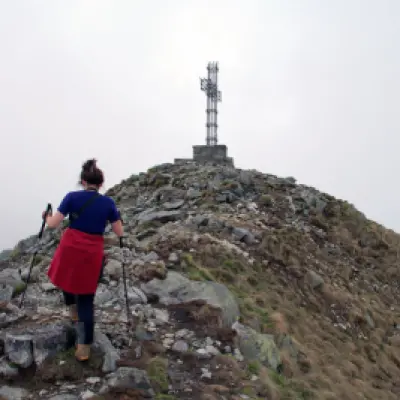
Panoramic hike on the ridge between the Strona Valley and the foothills north of Varallo Sesia. It leads to a summit dominated by a characteristic cross made of a frame of Innocenti tubes, in view of the entire circle of Valsesian mountains.
Description
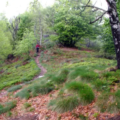
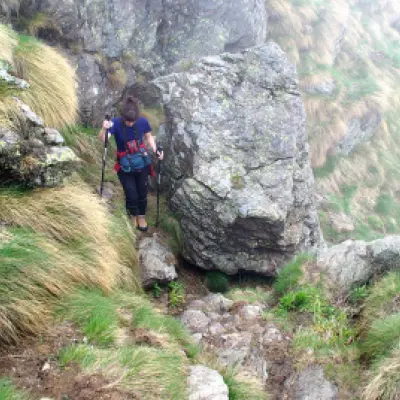
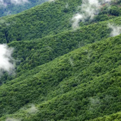
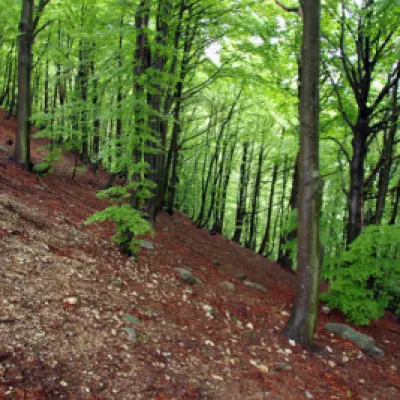
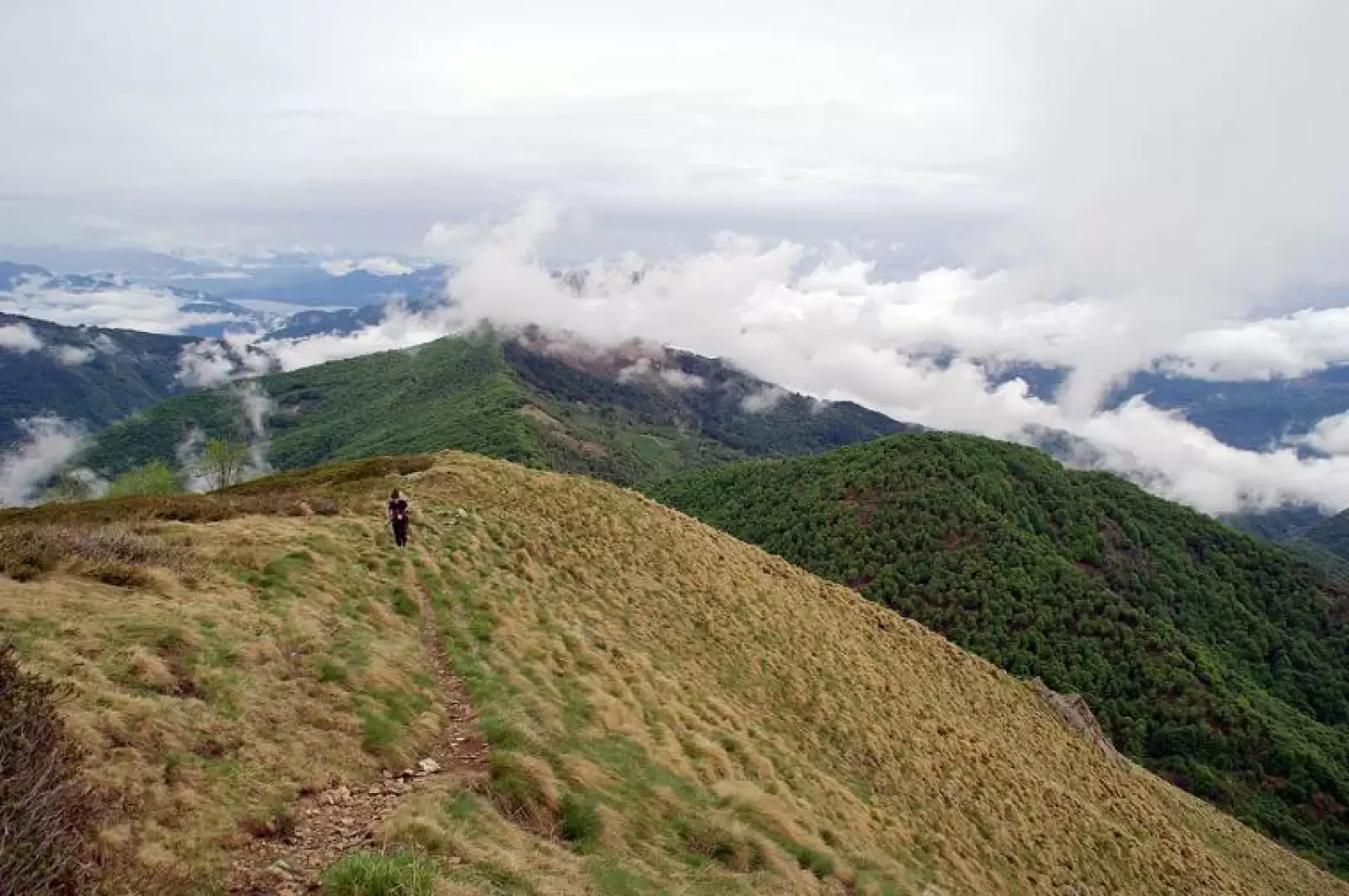
From the Colma della Foglia (1272m), a small clearing immersed in a beech forest, take the path marked for Monte Croce - Massa del Turlo on the left. Initially, it climbs moderately in the dense forest, then, coming out onto the crest, it becomes stony over abandoned pastureland, rare birch trees and lots of rowan trees; the ascent, at times very steep, after about 30 minutes tends to soften as the grassy shoulder widens. We are in sight of the summit of Monte Croce (1643m): signs to continue towards Bassa del Campo - Massa del Turlo. Continue along the ridge, keeping to the left a slope of degenerated pastureland with an invasion of rhododendrons and to the right an unusual wood of weathered rowan trees; we lose height until we reach the 1571m of Bassa del Campo, the passage between the valley of the Bagnola stream (south) and the vast Alpe Campo (north). From here the ascent becomes practically continuous, leaving the impassable ridge and following a track halfway up the south slope; the little path, much used by goats, traverses at length, at times with fair exposure, until it passes Quota 1816m, then reaches the watershed again in view of Massa del Turlo (1959m). The last section climbs up through grass and overhanging boulders to the summit, much of which is occupied by the base of the strange cross. The lack of space for groups has been made up for by the artificial levelling of the culminating section of the north-west shoulder of the mountain, which has also been enriched with granite tables and benches. For the return trip, you must in any case reach Bassa del Campo, and from here, if you do not want to go back up to Monte Croce, you can descend to Alpe Campo and then traverse halfway up the hillside to rejoin the outward path just before the beech forest.
