Marsciana, from Cagnoletti

Edited by:
Marco Bonati
Updated at: 03/09/2024
Access
From Milan to Sondrio along state roads 36 and 38; turn left at the first roundabout and climb up the provincial road to Valmalenco. After a few kilometres, as soon as you pass the viaduct over the Valdone stream, go up to the left in the direction of "Cagnoletti". When you reach the few houses in the hamlet, look for parking near the church.
.Introduction
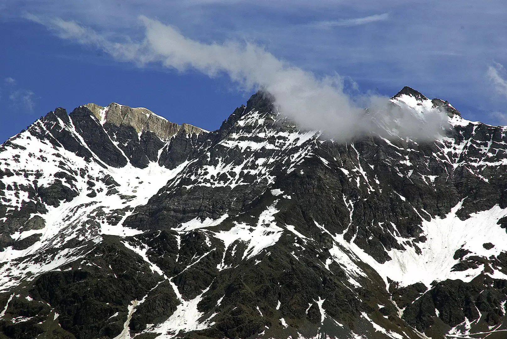
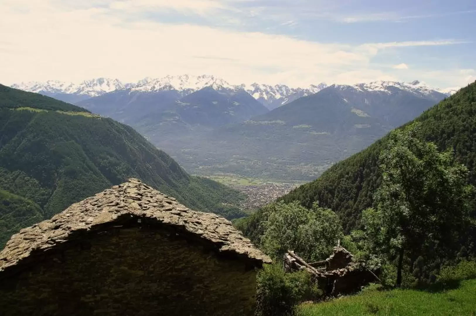
Short circular excursion, very scenic towards the nearby peaks of the Bernina range and the Sondrio plain; following the route of ancient paths joining the contrade, a circular route is created that centres on Cagnoletti. The small contrada, always distinguished by its extreme poverty, is home to the last vineyards of the Valmalenco: the quality of the product was such that the expression 'Vin de Cagnulet' has become an uncommonly laudatory term.
.Description
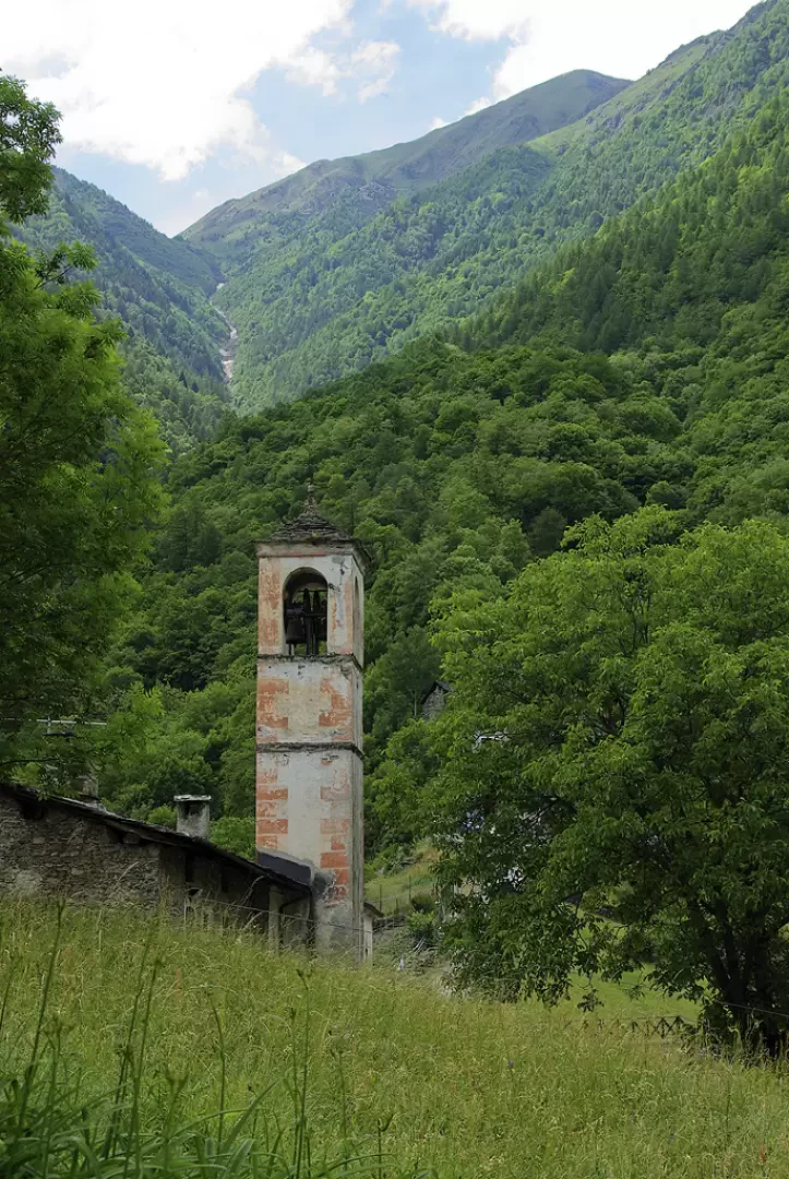
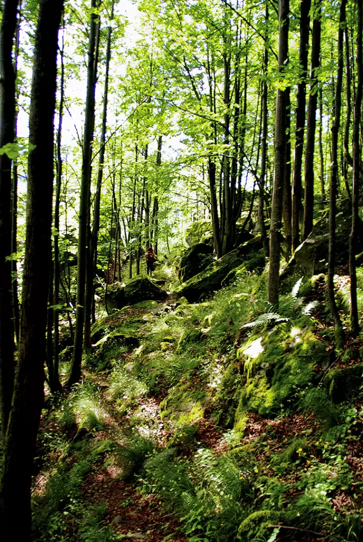
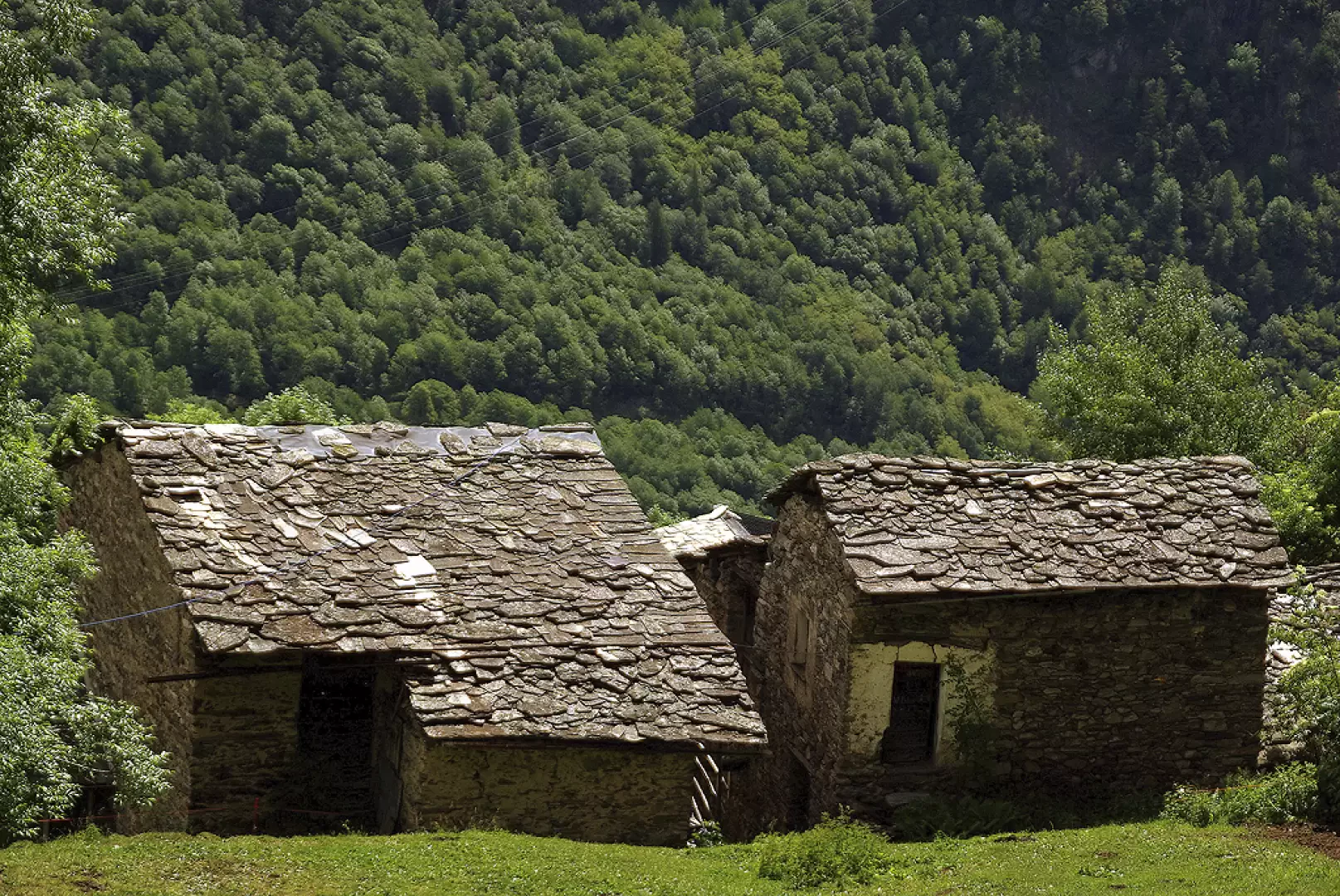
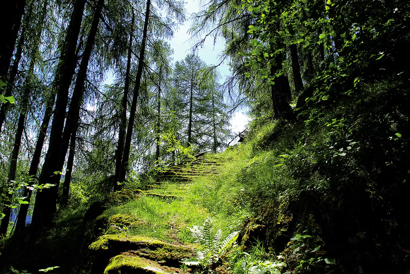
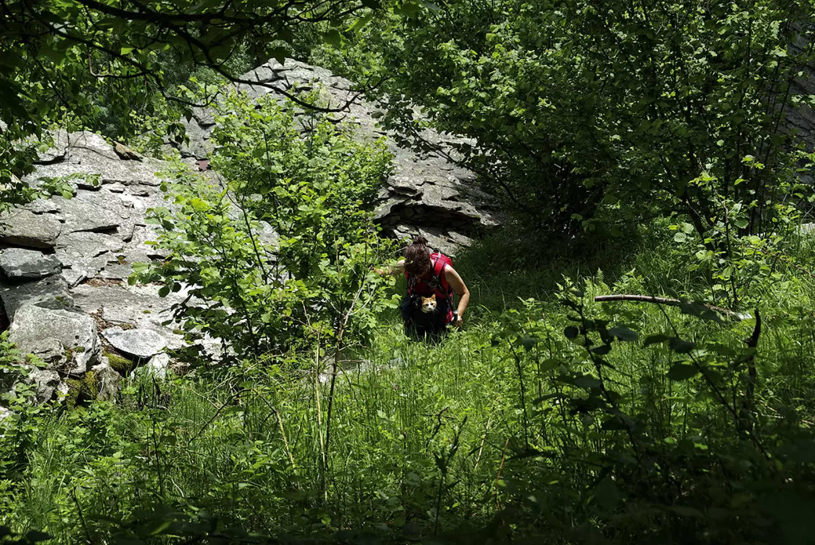
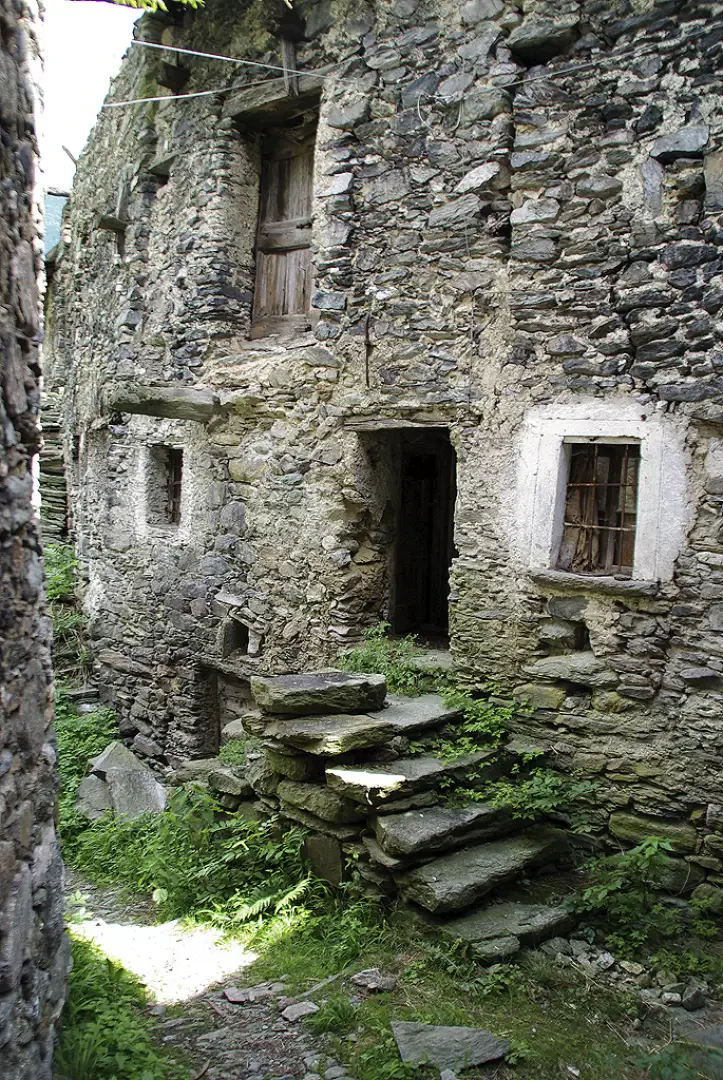
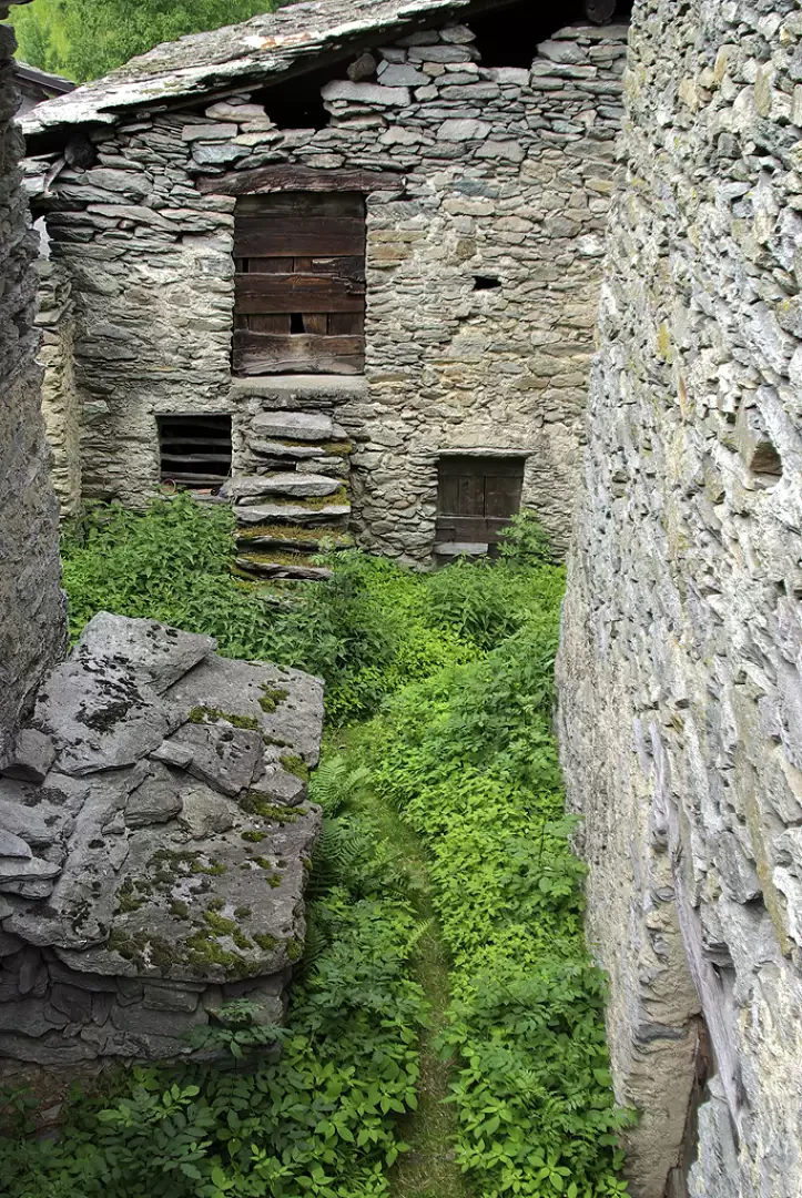
From the small car park, go back along the road you have just taken for about 200 metres, as far as the downhill bend to the right: here, take a cemented ramp that becomes a dirt track as you proceed towards the wood. After passing a disused stone quarry, the recently overgrown cart-track turns into a path and proceeds sideways between picturesque moss-covered dry-stone walls. The track disengages itself between large rockslide boulders - a narrow passage, in particular, stands out at the "Guzzon" stone - and with hairpin bends and steps ("Scala dei Pizzi") leads to a panoramic hillock over the entire Valmalenco. The ascent, less stony and easier, proceeds through a more sparse wood and reaches some abandoned huts: after a few minutes you are in sight of the small church of the Pizzi district. Crossing the few houses, along a carriage track, you come to a wide dirt road: follow it for a long time to the left until you meet - immediately after a hairpin bend - the continuation of our path. In a bright larch forest, steeply uphill among mossy boulders, via a beautiful grassy stairway, you reach the natural knoll of Marsciana: a few huts restored as summer residences, amidst mowing meadows, dominate the entire middle Valtellina and the Orobie chain at their highest and most scenic point. For the return journey, we continue on the level, briefly entering the Valdone valley until the path signals a fork in the road: we turn left and from here begin to descend rapidly into the valley furrow. The broadleaf forest cover is continuous: it first opens up in the abandoned hamlet of Marsciana di Cagnoletti and then at the farmsteads of Scervera; but by now we are within sight of Cagnoletti, and walking along the lanes of the oldest part of the hamlet, we reach the small hump where the little church is located.
General Information
Way:
Signposts:Wood posts with traces of paint
Type of route: circular
Recommended period: April, May, June, July, August, September, October, November
Sun exposure: southeast
Galleria fotografica