Ligàri, from Sondrio
Access
From Milan to Sondrio along state roads 36 and 38. Ample parking in the stadium area. From here, continue on foot along Viale Milano to Piazza Garibaldi.
.Introduction
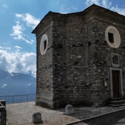
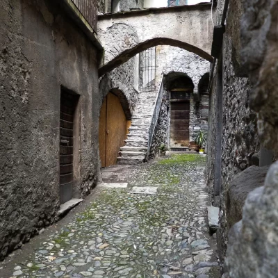
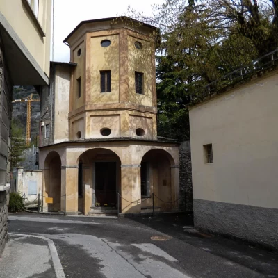
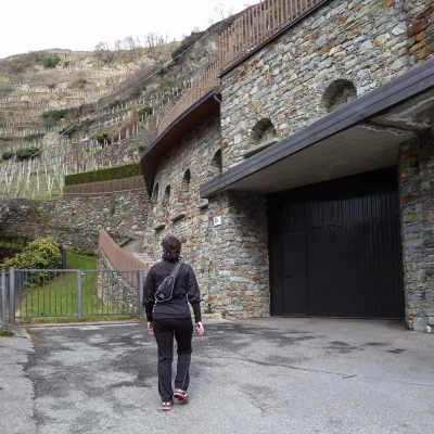
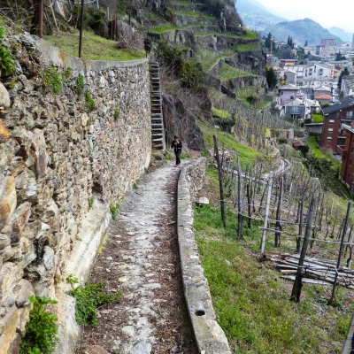
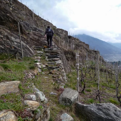
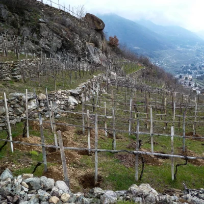
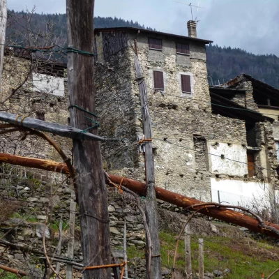
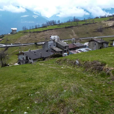
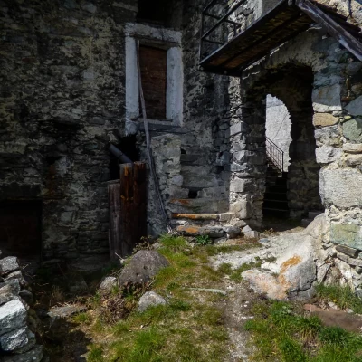
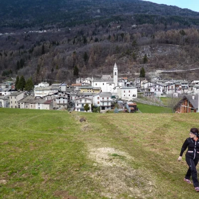
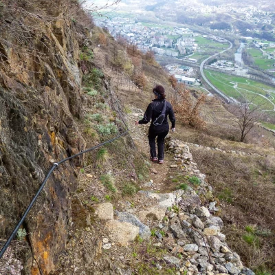
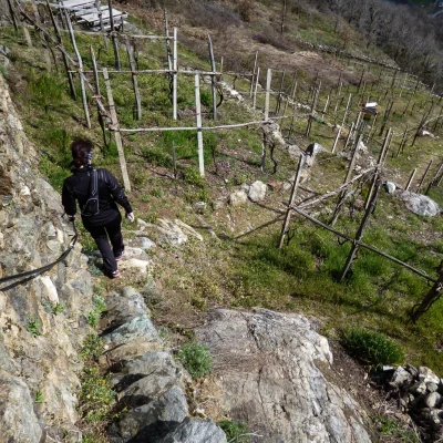
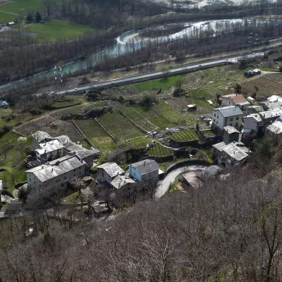
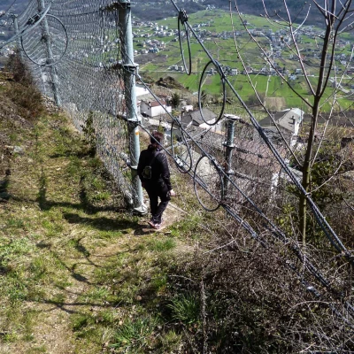
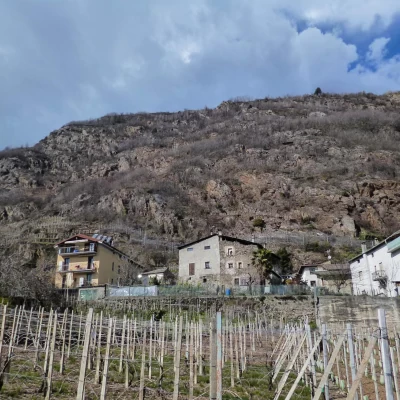
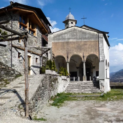
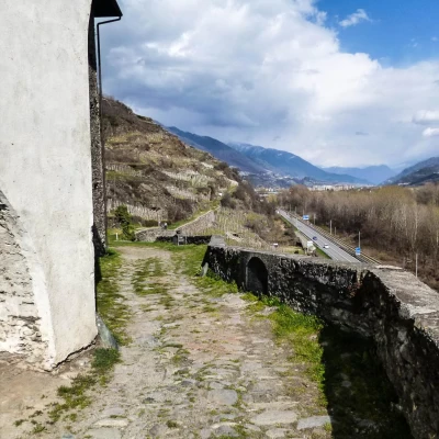
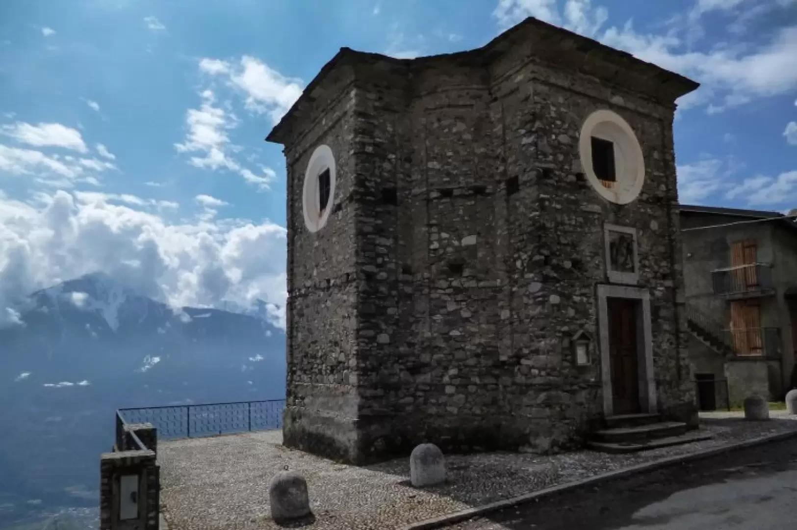
It is a little-known route that leads through spectacular vineyards (a recent application to become a UNESCO heritage site) to ancient hamlets that arose to serve farming activities: clusters of modest rural dwellings, but with unexpected artistic traces of local painters and architects. The destination is Ligàri (also reachable by car), in an enviable panoramic position, with its octagonal oratory built in 1731. The descent, well signposted like almost the entire excursion, is shorter and steeper, with a last stretch through the Triasso vineyards that is rather exposed and equipped with handrail cables: very suggestive.
Description
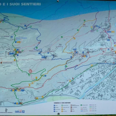
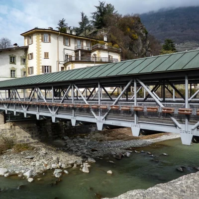
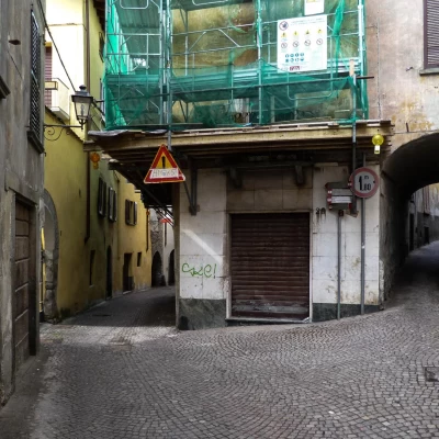
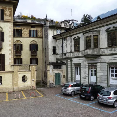
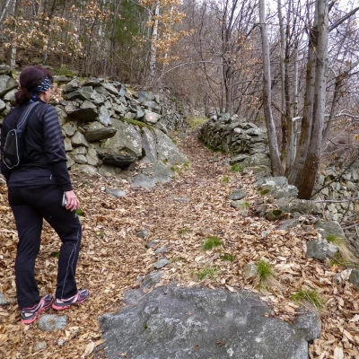
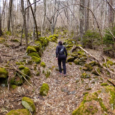
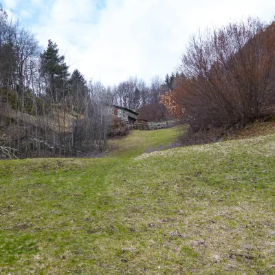
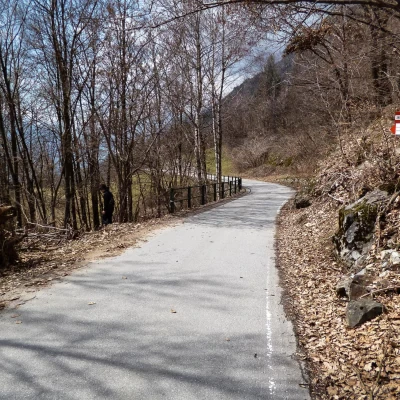
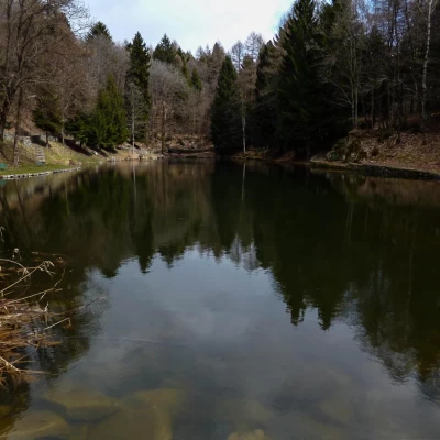
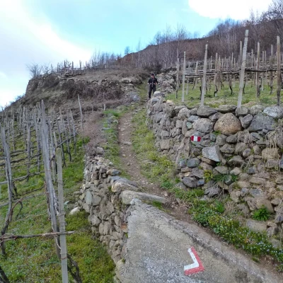
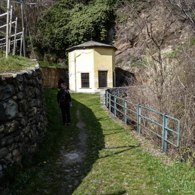
From Piazza Garibaldi in the centre of Sondrio 307m, go up to Lungo Mallero Cadorna and follow it to Piazza Cavour (better known as Piazza Vecchia); cross the river via the modern covered footbridge (built after the 1987 flood and can be raised in the event of flooding). On the other bank - Lungo Mallero Diaz - you immediately take the ancient Via Romegialli, keeping to the left at the first fork in the road (beautiful fresco dating back to 1750); continuing between ancient palaces and hidden courtyards, you come out into Piazzetta Carbonera (Palazzo Carbonera dating back to 1533). For a short distance, follow Via De Simoni until you turn right into Via Bassi (Cappella dell'Annunziata, 1733, the first construction of a kind of Viacrucis that was to extend as far as the church of the Madonna della Sassella: 14 aediculae planned, 5 built). Walk along this road until you pass a modern church and then continue along Via Quadrio; having crossed the provincial road for Valmalenco, you find yourself in a quadrangular widening with a garden: keeping completely to the right - signs - you will notice the start of the path. This is the first stretch of a long service path among the spectacular vineyards built in irregular terraces supported by drystone walls, exploiting every slightest possibility in the orography of the slope. Changes of level take place by means of stone steps or even steps carved into the rock; there are cemented cart tracks that cross from one district to the next. The route first reaches Case Gualzi (538m) and, without reaching Sant'Anna, leads to Pradella di Sotto (671m), separated by a short mule track from Pradella di Sopra (722m). Here the signposting becomes obscure and lacking: cross uphill to the right between all the houses until you reach a grassy track that enters the meadows; at a "T" junction, turn left and continue along a mule track through the woods (ignore the more obvious continuation of the track to the right). The ascent is steep at times in an isolated and rather wild environment: at a sort of crossroads, continue straight ahead for the maximum gradient (no signs); when the gradient decreases, you reach the grassy clearing of Prati Vesolo (1025m). Following uphill on the paved track that descends to the lowest hut, you arrive - at a wide hairpin bend - on the Triangia-Ligari-Forcola tarmac road; following it gently uphill to the right for a few hundred metres, you reach the contrada Ligàri (1092m). There is also a small refreshment point among the few houses. For the return journey, right next to the oratory, a mule track begins, which, after passing a small repeater, descends to cross a lower section of the tarmac road; from here, a precipitous stretch along a path with uneven, stepped stones leads to Lake Triangia (898m), a small basin pleasantly adapted as a rest area. A further, decidedly easier stretch leads to the small village of Triangia (785m); after crossing the houses and the provincial road, you enter a panoramic morainic terrace with meadows, keeping to the right of some conspicuous lattice masts. Beyond a marshy depression, signs for Triasso are found: the descent is defined as "for EE" and, in fact, has some rather exposed stretches. You descend steeply along the tops of dry stone walls, very vertical steps, small ledges carved into the slope and now abandoned terracing: where necessary, there is no lack of handrail cables up and down the track. Through a gap in a rockfall fence, you enter between the houses of Triasso (432m); then new passages through the vineyards lead more comfortably to the group of houses surrounding the church of Madonna della Sassella (year 1521) (299m) [near the noteworthy rock climbing wall]; turning towards Sondrio, follow the grassy Via Valeriana (in a small valley the Apostles' aedicule) that finally enters between the villas in the locality of Castellina, near the three stadium fields.
