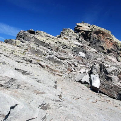
Lex Blanche, from the La Joux car park
Introduction
Surely the Lex Blanche is not among the best-known peaks, and certainly not among the most frequented, but its ascent remains a fine experience straddling the French-Italian border.
Description
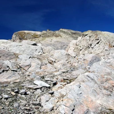
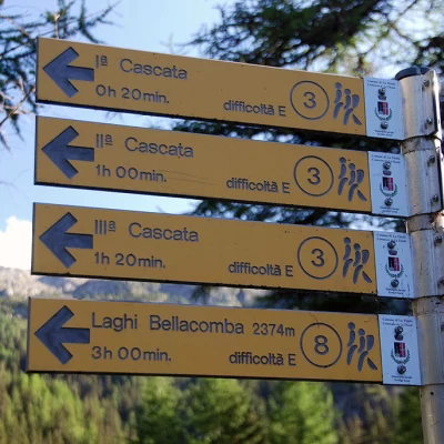
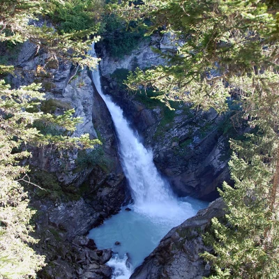
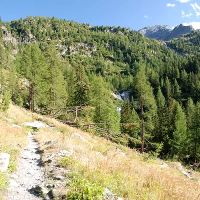
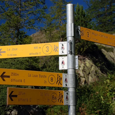
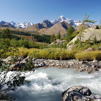
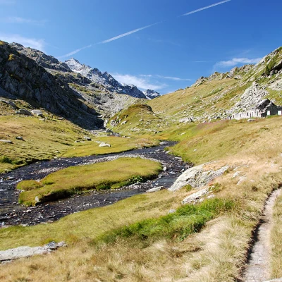
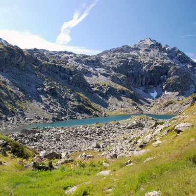
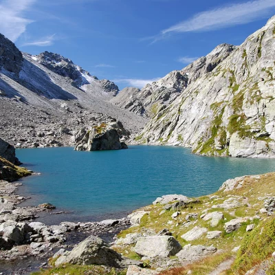
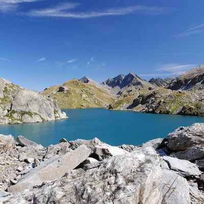
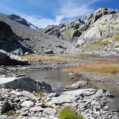
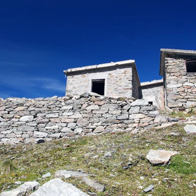
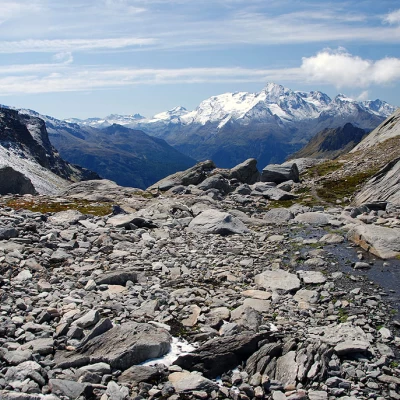
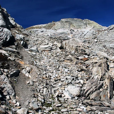
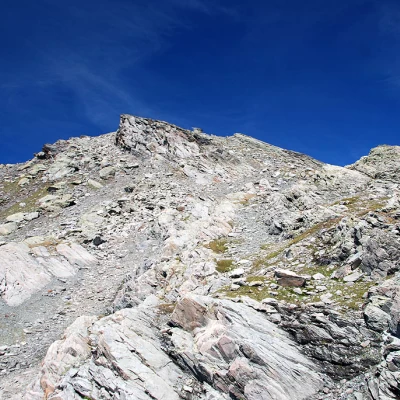
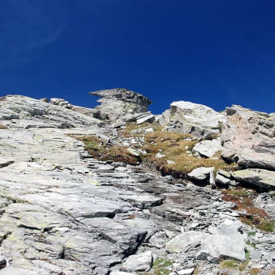
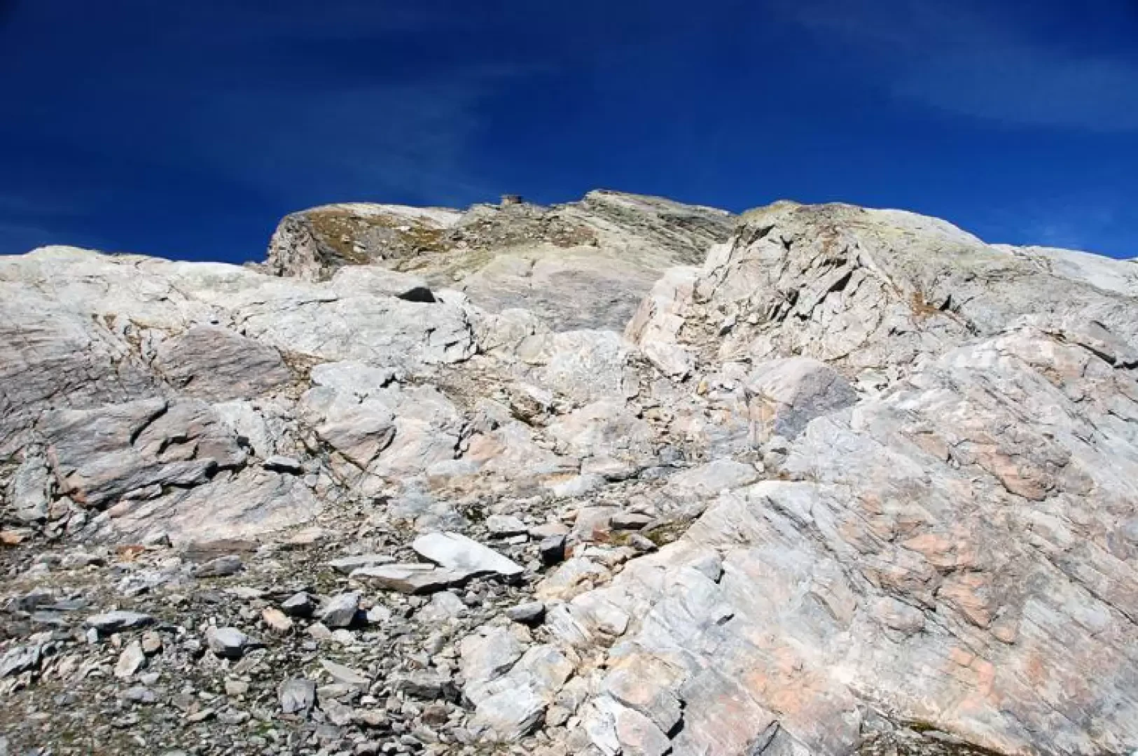
From the car park, climb briefly up the small tarmac road until you come to the signposts near the restaurant-bar (1603m). Take the path that branches off to the left following the signs for the Bellacomba lakes, marker ( 8 ). Take the path, skirting a pastureland and, after a short descent, following the Torrent du Ruitor as far as a small wooden bridge; cross it to the orographic right, after which the path takes a few twists and turns and enters the dense fir forest. A few minutes' walk and you come to the first of the spectacular Ruitor waterfalls (1700m, 0h15'). Continue now with a somewhat more demanding ascent, passing a characteristic little stone bridge to soon reach the isolated Parcet farmhouse (1760m, 0h20'). Leave the forest and proceed for a short stretch halfway up the hillside, then, after a couple of bends, cross another small stream and enter the forest again until reaching a wooden bridge where the path for the second waterfall begins. Continue on the main path and begin a long series of twists and turns until you come to the marker post (1996m, 1h10') indicating the third waterfall: for those who wish to do so, a short diversions takes just a few minutes to reach a beautiful viewpoint. The ascent continues on an excellently climbed section of path until meeting a further fork (2147m, 1h40'): here turn right following the signs for the Bellacomba Lakes. The path now follows a stretch with a few ups and downs and then begins to climb again when you turn left and enter the Torrent du Ruitor impluvium. Descend towards the torrent until you come to a wooden footbridge that allows you to cross it. Now proceed for a short, almost level stretch until you come to a new signpost indicating the path (18) to Cérellaz. Neglecting the diversions, the path, with a few twists and turns, allows you to easily cross a rocky ridge; after a short straight stretch, new twists and turns allow you to cross a second ridge, after which you finally find yourself in the valley where the Bellacomba lakes are located. The path now proceeds practically straight, slightly uphill in an idyllic environment. The gorge shelves near a ruin and then rises slightly until reaching the first of the lakes (which is on the left of the path). Following the half slope, with a few ups and downs, you quickly reach the second Lake Bellacomba (2377, 2h50') in the middle of which stands a strange, sharp islet. Having forded, on the left, the short stream connecting the two Bellacomba lakes, follow the path (a few tens of metres) that runs alongside the lake and, ignoring the track for Col Tachuy on the left, cross some modest snowfields (snow even in the late summer season) and some scree to the other end of the lake. Now head left to traverse a larger snowfield, and then more snowfields and areas of piled blocks following, where visible, the few remaining cairns. The track then traverses to the right (orographic left of the tributary of the Bellacomba lakes), enters other areas of scree and piled blocks (becoming a little more visible), and heads towards a ruin. Continue straight on, following some cairns and a small path; comfortably ascend a short slope until reaching a small lake. Proceed with a few more ups and downs until you reach a col, elevation 2636m; from here, now in French territory, descend briefly for about 200m until you reach the edge of a depression: turn right and start climbing the south-eastern slope of the final destination. The first section has no path but is undertaken logically by following the slope, which has no roughness. The environment becomes rougher and, alternating between walking over boulder-strewn terrain, a few broken rocks and short grassy stretches, you reach a saddle located between two large rocks. Turn left and head decisively towards the summit; a few cairns appear to reassure the hiker and direct the walk up the slope without any particular difficulty, even if this section becomes decidedly more tiring as it is steep and direct. After an initial stretch on boulder-strewn ground, the route continues on thin grassland until it reaches a particular rocky form: here the walk begins on sloping slabs to be climbed in adherence. Having reached the base of the peculiar rocky conformation, one overcomes a short step and then moves to the right in the direction of the summit. Still on the sloping slab, you reach the base of the summit: here, with a simple I° step, you cross a large step and reach the summit of the Lex Blanche (2807, ) with a rudimentary stone cairn. The descent is along the route of the outward journey.
.