Les Îles, from PalaFENT
Access
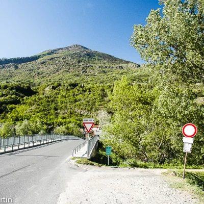
From the A+v5 motorway exit at the Nus toll booth, continue in the direction of Nus: after 800 m, take the ss26 in the direction of Aosta. After about 4 kilometres, you come to a first roundabout, continuing in the direction of the town. Pass a second roundabout and, shortly afterwards, you will reach the junction for Brissogne: turn left and, after crossing the bridge over the Dora Baltea, head towards the PalaFENT car park, located just opposite the bridge 💧 .
.Introduction
Short but interesting route through the Les Îles Nature Reserve.
Description
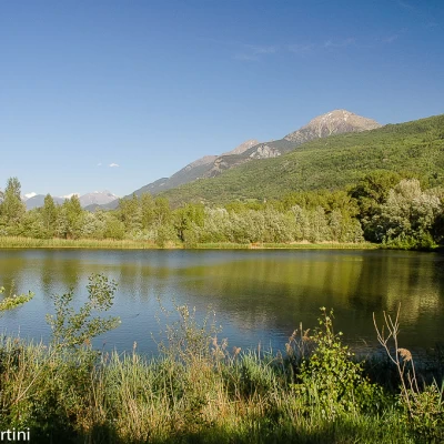
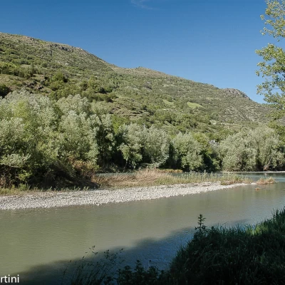
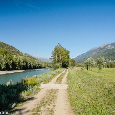
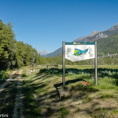
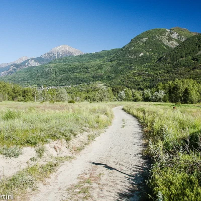
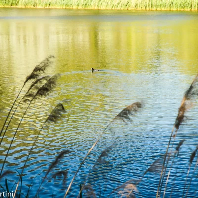
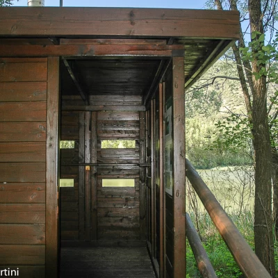
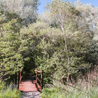
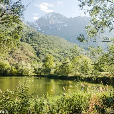
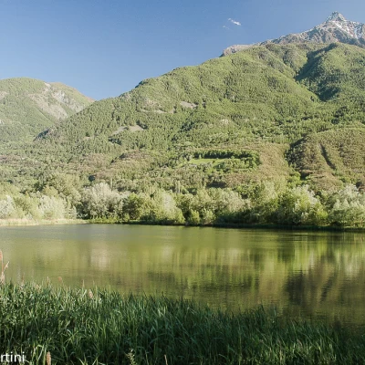
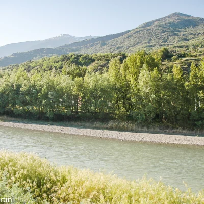
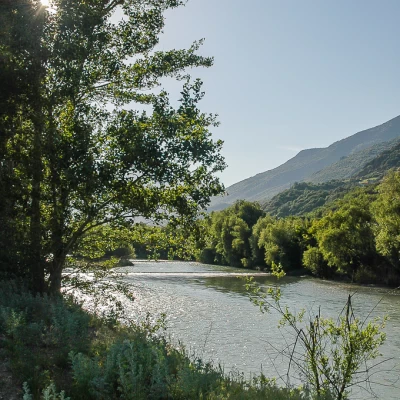
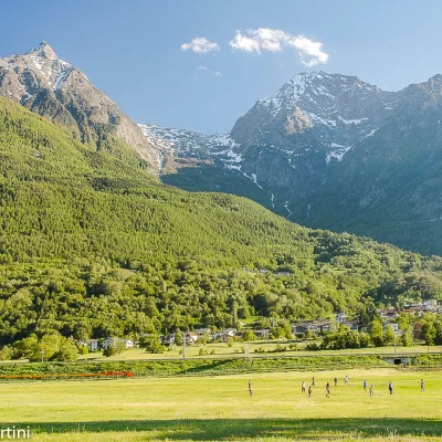
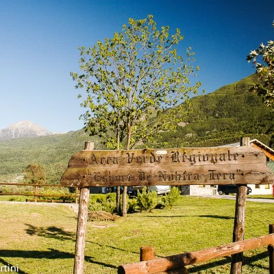
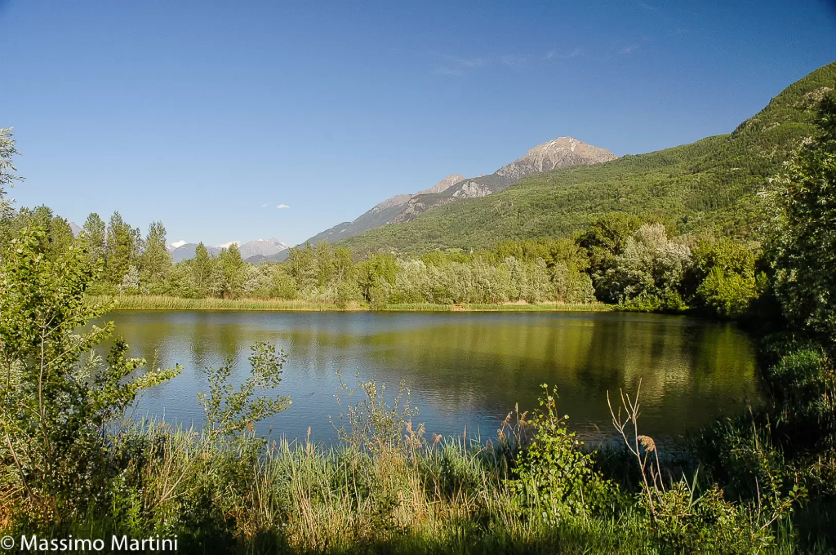
Leaving the car behind, we set off in the direction of the bridge over the Dora Baltea; after a few metres, we come to a small agricultural road that branches off to the right of the bridge: we take it and descend briefly to the bed of the Dora Baltea. You walk along a long straight stretch, passing near the beautiful fields dedicated to the 'Esport de Nohtra Tera'. After walking for about ten minutes, you reach the panel indicating the beginning of the Nature Reserve, continue for another short stretch until you come to a fork: follow the track on the right, heading towards the small lakes. Walk in the direction of the distant Pointe de Charmontane until you come to the first of the two small lakes that make up the reserve: from here, several benches are positioned along the itinerary to enjoy the scenery and nature at a leisurely pace. After a slight turn to the right, in the sight of the Becca Salé, you turn left following the outline of the first lake. If you walk discreetly, it is not unusual to encounter the typical avifauna present in the reserve (grey heron, grebe, coot and mallard). Continue through willow and black poplar woodland until reaching a second explanatory panel at a fork in the road: continue straight on, soon reaching the birdwatching hut on the edge of the second lake (516 m, 0h30'). Continue around the second pond until reaching the edge of the stream that descends the Saint-Marcel valley; still in the wood, which becomes thicker, cross a small stream on a small wooden bridge until reaching the edge of the Dora again. From here, turn left following the path in a westerly direction. It skirts the two small lakes until it joins the agricultural track taken at the beginning of the itinerary. From here we again skirt the Dora Baltea until we reach the starting point (531 m, 1h00').
