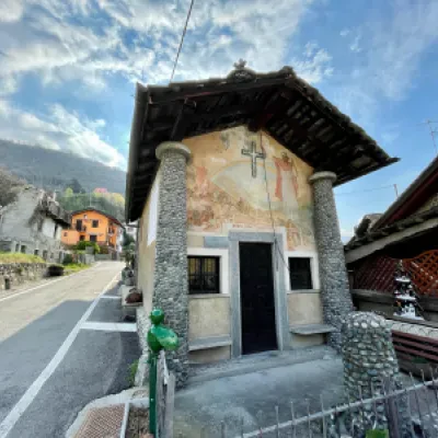
Lenty, from the Roman Bridge of Saint-Vincent
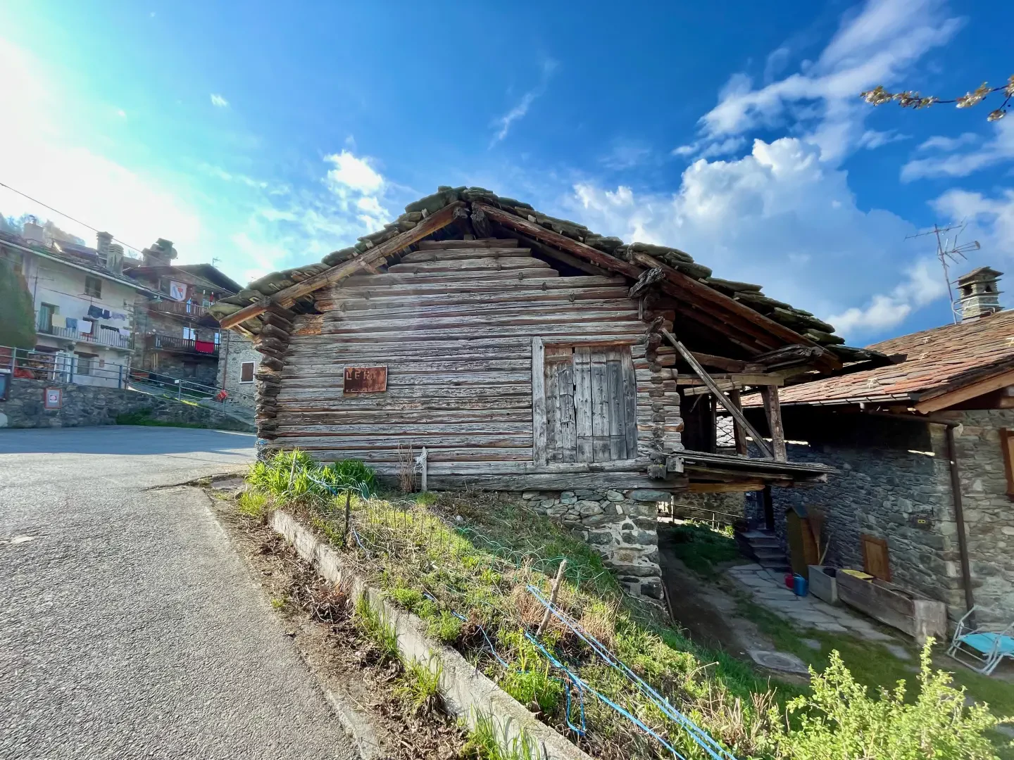
Access
From the motorway junction exit at Châtillon, turn right towards the spa town. After passing a set of traffic lights, continue straight on into Saint-Vincent and, at the roundabout in front of the Casino de la Vallée, take the second exit onto Via Marconi, which branches off to the left. Go all the way along Via Marconi, then Via Roma until you reach Piazza XXVIII Aprile: at the roundabout go straight on, second exit, along Via Ponte Romano until you reach it where, on the right just after the playground area, you will find a small car park 🅿️.
[0h07'] - [4.1km]
How to get there with GMAPS
How to get there with Apple Maps
How to get there with Moovit
The information provided here has been verified as of the date of the route survey. Before setting off, it is advisable to ensure that no substantial changes have occurred on the route to the starting point. We therefore recommend the use of the satellite navigation apps provided by Google or Apple for up-to-date and detailed directions.
Introduction
This itinerary takes the hiker to the hilly southern part of Saint-Vincent. The route winds its way through villages, forests and rural settings with interesting panoramic views of the central valley and the imposing Mont Zerbion.
Description
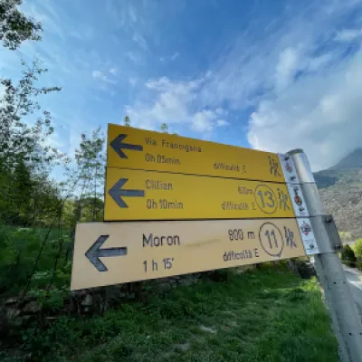
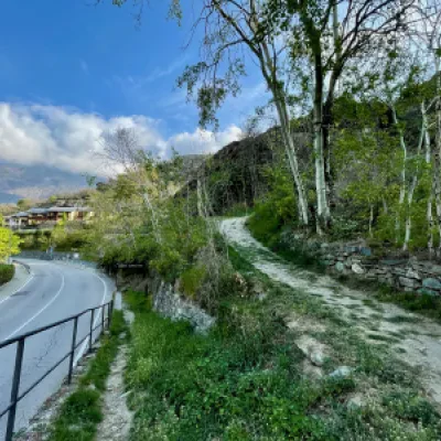
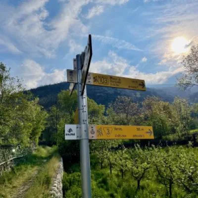
0h00' Leaving the car at the car park, cross Via Ponte Romano and take the path which, after a short climb, reaches a signpost. Continue in the direction of Cillian on path
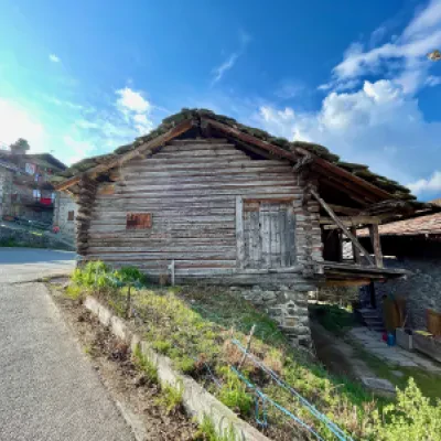
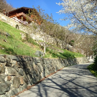
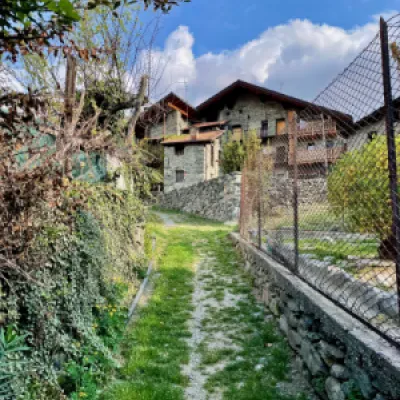
leaving the ruins of the Roman bridge (1st century BC) on the left; turn right passing by the walls with a climbing wall proceeding on the nice flat and shady path. After a few beautiful views of Mont Barbeston, head slightly to the left and begin a gentle climb past vegetable gardens. Shortly before Cillian, you will come to a turnoff for a post set into the ground bearing the route logo for Mont Tsailloun (600m): ignore the turnoff to the right for Mont Tsailloun and you will soon reach the village of Cillian (615m) 💧.
0h10' From Cillian, continue along the road past a crossroads and onto the tarmac road that leads to Valyre. The slope becomes steeper as you leave the residential houses until you come to a new post indicating the turnoff for Moron, marker
. Neglect the turnoff and continue along the tarmac road until you reach the hamlets of Valyre (685m).
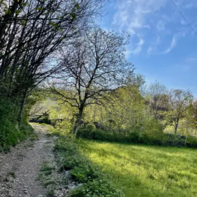
0h20' When you reach the last houses, the road becomes a small road and, after a turn to the right, a mule track that enters the sparse oak and chestnut wood. With wide bends, you gain height until you reach the fairy waterfall.
💧
Punti di interesse
- Ponte romano di Saint-Vincent
- Cillian
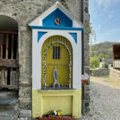
- Cappella dei Santi Innocenti a Cillian
- Valère
- Linty
- Cappella della Visitazione della Madonna a Linty
Collections
- escursioni con partenza dal Ponte Romano di Saint-Vincent - sulla mappa
- escursioni ai villaggi di Saint-Vincent - sulla mappa
- escursioni ai villaggi della media Valle d'Aosta - sulla mappa
- escursioni ai villaggi della Valle d'Aosta - sulla mappa
- escursioni a Saint-Vincent - sulla mappa
- escursioni in media Valle d'Aosta - sulla mappa
- escursioni in Valle d'Aosta - sulla mappa
