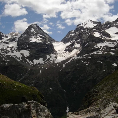
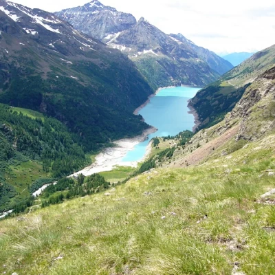
Le Braoulé, from Place Moulin
Access
Leaving the motorway at the Aosta Est barrier, turn right and take the dual carriageway to follow for 8.4 kilometres. At Signayes, turn right onto the regional road following the signs for Bionaz/Laravoire. Pass a roundabout and continue on the regional road along the entire length of Valpelline. Drive through the villages of Valpelline, Oyace and Bionaz and, after about 27 kilometres, you will reach the car parks near the Place Moulin dam. From 1 May to 31 October, parking is chargeable (1€ per hour - 9€ all day). Non-paying car parks can be found about 600m before the dam.
[0h52'] - [37.1km]
How to get there with GMaps
How to get there with Apple Maps
How to get there with Moovit
The information provided here has been verified as of the date of the route survey. Before setting off, it is advisable to ensure that no substantial changes have occurred on the route to the starting point. We therefore recommend the use of the satellite navigation apps provided by Google or Apple for up-to-date and detailed directions.
Introduction
Beautiful hike with intense, close-up views, leading into the wilderness, unjustly neglected by the many hikers who burden Prarayer.
Description
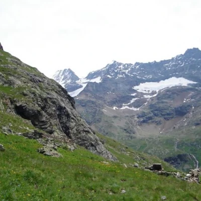
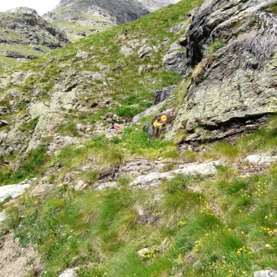
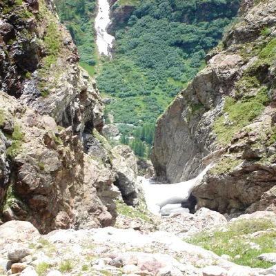
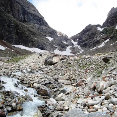
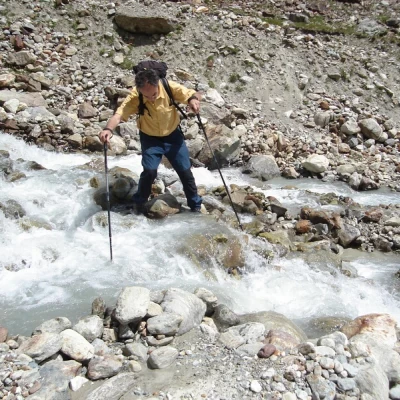
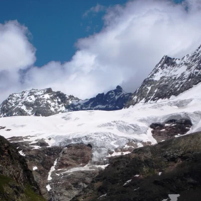
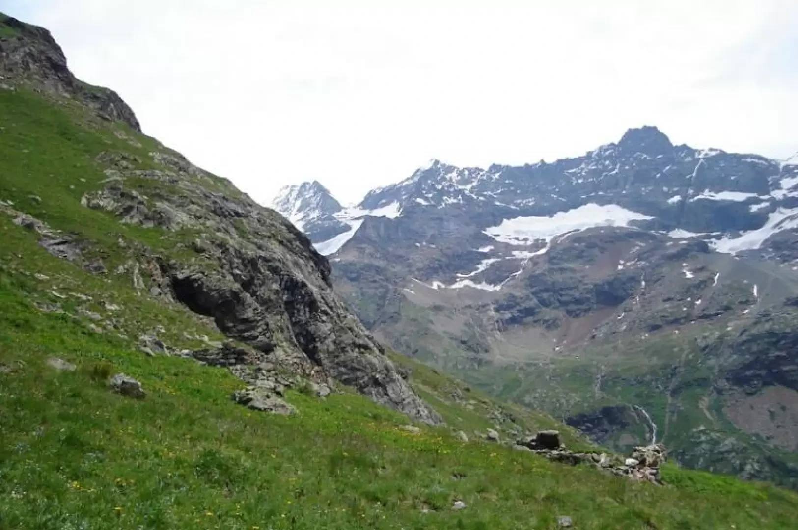
From Place Moulin to Prarayer. A few dozen metres before the hut, looking to the left, you can see a boulder with the marker number not far away. This is the start of the simpler path, recently renovated and widened, leading to Alpe Brulè, a path that should be followed downhill. Continue on the path to the Aosta hut without taking into account the detours to the right. Cross the Brulé stream over a bridge, and shortly afterwards you will come to an old stony gravel bed on which, to the left, a road started out, the remains of which you follow (a few cairns) to the foot of the grassy slopes representing the orographic left of the Brulé stream. Following traces of the path and faded but abundant yellow signs, go up the slope approaching the torrent until you reach a small valley from where, on the right, you reach a ridge (cairn) that allows you to cross a new slope to the base of a rocky drop. The panorama is dominated by the Petites Murailles, the Chateau de Dames and Monte Dragone. The path, now more evident, passes below the jump and reaches the terrace where four piled stones tell us that there was once a mountain pasture here (for goats probably). To the left, the Brulè torrent plunges into a gully, in front of which the wild valley between Gran Vanna and Becca de Noires opens out, leading to the Mont Brulé glacier. Yellow signs lead to the bottom of the valley to cross the torrent (sometimes with some difficulty) and reach the beautiful hiking trail coming from Prarayer. You ascend to a hump from which the panorama widens from the Grandes Murailles to the becca of Luseney, at the bottom, far away, the Ruitor, a little further on the lake appears. All that remains is to follow the easy path that, after traversing under the impassable slope of the Gran Vanna, leads down and to the hut in a series of serpentines.
General Information
Signpost:
Type of route: circular
