High tour of the 12 fountains

Introduction
Below are some notes on the route created by the Novi Ligure CAI section. In these notes, the very long tour known as the "12 fountains" (8h!) into two distinct loops, with a more human distance of about 4h30m (theoretical) each (in the end, it is about 5h, but you have to walk...); this makes the route accessible to a certainly greater number of hikers without reserving it only for the most trained... Although the route is sufficiently signposted overall, it is quite convoluted, with many forks (some of which are not exactly obvious and with little signposting) and you have to be very careful (the most obvious route is often not the right one) and we had to turn back a couple of times anyway... Some of the springs have dried up... a pleasant surprise, however, was to find small newts in the pools... On this route you will see 5 of the 12 fountains and a spectacular panorama which, in good weather, extends as far as the Alps in Valle d'Aosta and beyond... Report modified after visit 2.6.10
Description
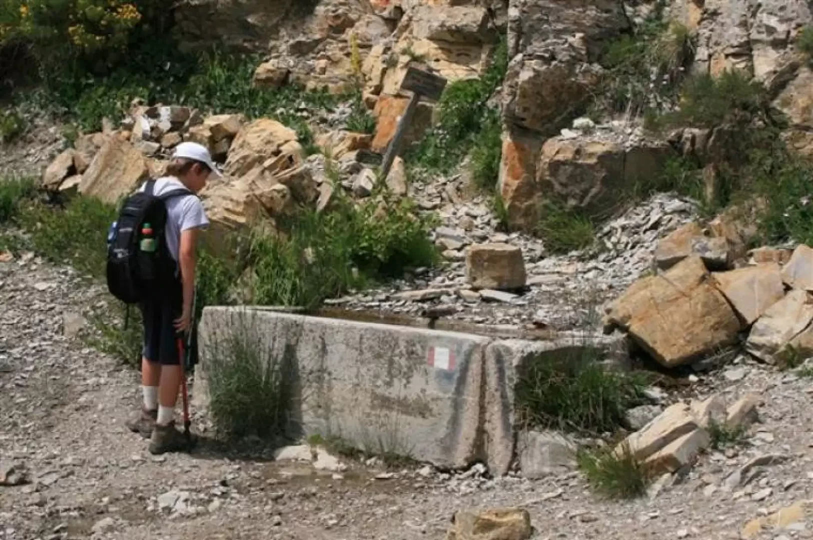
Continuing on the dirt track (1132 m), after the asphalt has ended, you come to an important fork in the road after 10 minutes and turn right towards the Costa Rivazza malga (you go past a cattle gate). Continue into the forest (still the main road) and in just under an hour, very quiet and almost horizontal, you suddenly leave the road, after passing three rivulets in quick succession, to go left uphill on a small lane. In a couple of minutes, you reach the meadow of the Costa Rivazza hut, 1287 m, where you turn left onto a level path, leaving signpost 220 (on the right, a few metres from the first spring). The very wide path now climbs between the trees and passes the Piuzzo aqueduct outlet. Crossroads are found and the path bends to the right (cairns and red marks - some old, some new). One then crosses a level clearing and afterwards in the forest one crosses the dry beds of two rivulets. There is a 90° angle to the right and in a few metres, you leave the dirt track to descend to the right (cairn and many red marks) without a real path; in a couple of minutes, you reach the Pascolo fountain 1408 m... ...a very fresh spring (the second one; about half an hour away from the first)... continue to the left uphill (passing a felled tree on the way) until you find the 221, which you follow to the left uphill (while to the right, still marked with the flag, there is a sloping meadow that at the summit - a couple of minutes away - hides the Madonnina del Pascolo chapel and a small sculpture set between two tree trunks - a possible diversions for a visit). We now climb steeply through a beech wood and then come out into the open where it flattens out (loc. Ciapeta 1550 m approx.); the path bends to the right horizontally (not very identifiable, but they have put up a marker with an arrow). The trail is now visible in the next section. In 2009, the path was practically closed off by some thickets and only with much effort did one continue following the groove of the track through dense trees and vegetation! Now, in June 2010, a considerable amount of work has been done to prune many trees and significantly reopen the route... then... there are only meadows... and finally... the Valtorta fountain 1550 m (the third one, but it is dried up!). You arrive at the Crenna mouth 1553m, where you turn decisively left (at an angle of almost 360 degrees!) for the Ebbro summit (steep sections). The summit of Ebbro, 1700m, is amidst beautiful play of... harmless clouds...(3h30m from the start) After a break, there is a short ascent to Mount Cosfrone 1659m... from where we turn left onto no. 220... From the pass of Fonte Gura, the dirt road arrives, which is partly traversed by the meadow of Malga Costa Rivazza and before Mount Roncasso. One ignores it and turns right. It is not easy to find Fonte da Gura, 1460 m, and one must then turn right, leaving the road that continues on the level. If you get to the point where you go up then it means that you have passed the fork and to see the fountain (the fourth) you have to turn back... the fork is not very evident!!!! The stake in the ground has been enhanced with a red stripe! You then climb up and then descend to the Trappola pass 1289m, turn left at an angle... and finally reach the Fontana da Lubbia 1204m (the fifth, fresh spring!). In short, (from a livestock gate, continue on the road and leave out the 'Fountains' sign), there is the morning crossroads with which you return (to the right) to Upper Pobbio, 1132 m, where the car awaits for the return journey (1h30m from the Ebbro summit). new photos of 2 June http://www.cralgalliera.altervista.org/12fontaneAlto.pdf Updated summary sheet on the original idea of dividing the long tour of the 12 Fontane into two loops http://www.cralgalliera.altervista.org/12fontaneresoconto.pdf map cutout http://www.cralgalliera.altervista.org/fontanadelpascolo.pdf photos second part 2009 http://www.cralgalliera.altervista.org/12fontanebis.pdf NB: in case of an excursion, always check with FIE, Cai, etc. that there have been no changes that have increased the difficulty!