St Joseph's ring

Edited by:
Marco Bonati
Updated at: 04/05/2025
Access
From Milan to Sondrio along the state roads and ; at the roundabout at the entrance to the town turn left towards Valmalenco and drive up the valley to the Chiesa Valmalenco - Lanzada junction. Ample parking spaces at the Snow Eagle cable car departure point.
.Introduction
Description
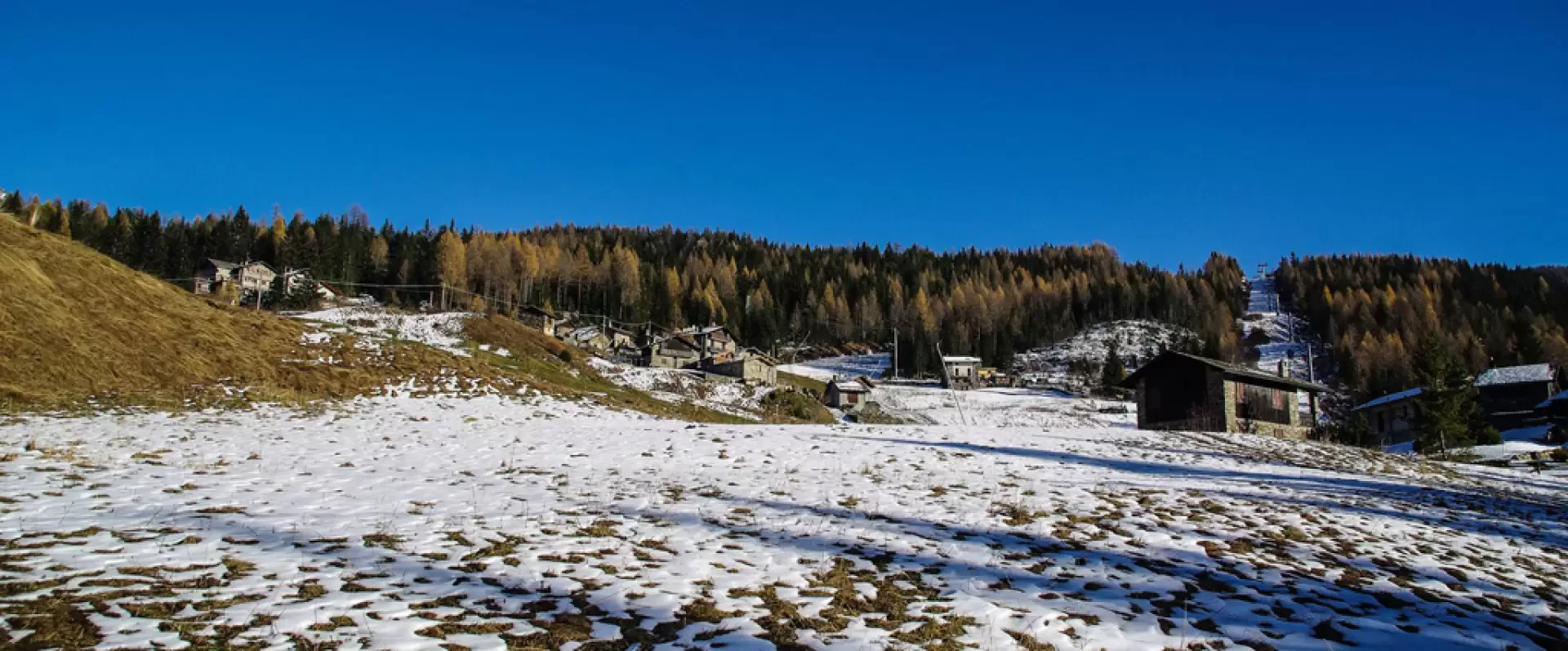
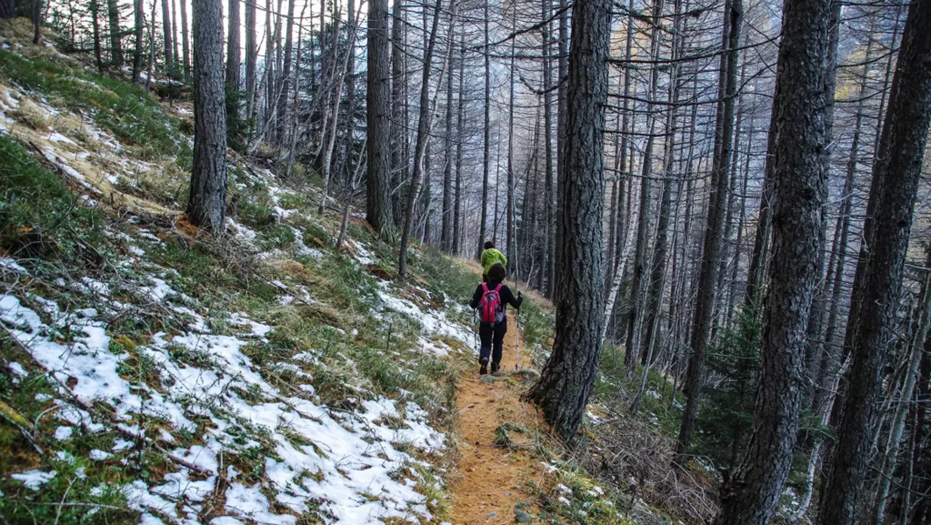
0h00' From the car park at Vassalini 950m, continue along the carriage road in the direction of the centre of Chiesa Valmalenco along Via Rusca, Via Funivia, Via Bernina, Via Sigismund and Via V°Alpini, lastly following the road signs for Primolo. In Via V°Alpini, on the right-hand side, take the old mule track to Primolo, which climbs a beautiful coniferous forest with a long series of hairpin bends. You return to the carriage road a few dozen metres from the small hamlet (Primolo 1274m); passing through the cosy square of the parish church, you leave the built-up area in the direction of the pine forest, towards the entrance to the Valmalenco branch to Chiareggio. After a playground/tennis/pétanque area, the wide mule-track begins the long traverse that follows the course of the Mallero torrent at altitude; pass above (very clearly visible from the return side) the "Giuell" area, now only what remains of an ancient serpentine slab quarry site, and cross the various gullies that descend from the Pizzo di Primolo - Monte Braccia ridge above. Shortly after the signposts to the left of the path for Alpe Zocca, our route crosses the stream on a bridge near some waterfalls; we continue on the other bank along a dirt track and - just before the Sabbionaccio plain - climb up a steep track on the Chiesa - Chiareggio road. At San Giuseppe 1435m, take the tarmac road up to Barchi (it is useful to take short cuts, which eliminate a few monotonous hairpin bends), leaving the cable car to Palù on the right at Prati Pedrana. At Barchi 1698m, cross the path of the ski lift (right at the structures of a change of direction) and descend a little to the right along a little path that enters the forest near some renovated huts. The track descends along the forest, with even a few steep sections, until it joins a forest track near a modern, isolated hut; follow the road uphill until you come to a post (locality Piazzetto 1679m) that points towards Vallascia. After a traverse through the wood, leave the path that descends steeply, turning left onto the dirt track of a quarry: leave it behind where the route meets a grassy terrace with some old huts. Here the path leads comfortably through the pastureland to link up with a number of old huts and barns (at contrada Albareda there is an interesting climbing wall); the descent continues past a sunken valley and then - skirting a young larch grove - reaches a recent dirt track in contrada Curlo 1050m. A series of alleys and a few winding stairways make it possible to cross the village, leading to the provincial road near the cable car departure station. From here - in short - to the car park.
Galleria fotografica