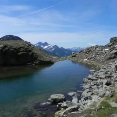
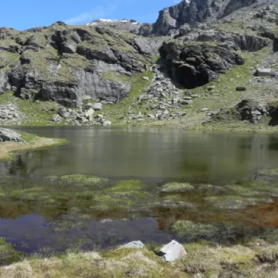
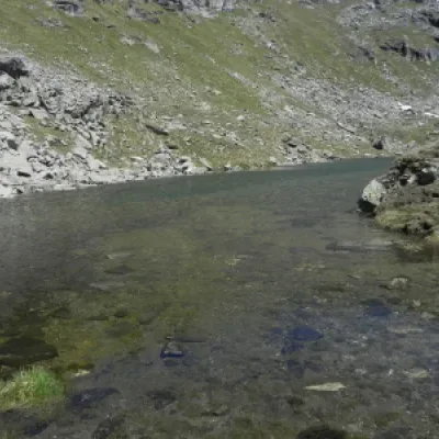
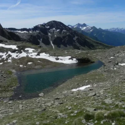
Valfredda lakes, from the Fénillettaz car park
Access
Leave the motorway at the Verrès exit, enter the roundabout and take the second exit. Proceed in the direction of the town centre and, after 300 metres, turn left onto the regional road for Val d'Ayas. Follow the regional road for 16.5 kilometres, passing the villages of Challand-Saint-Victor and Challand-Saint-Anselme, before reaching Brusson. Pass the village and, just before the junction for Col de Joux, turn right to take the communal road to Estoul. Continue on the communal road for about 7 kilometres, passing the village of Estoul, before reaching a large car park 🅿️ where you can leave your car.
[0h38'] - [23km]
How to get there with GMaps
How to get there with Apple Maps
The starting point of the route is not reachable by public transport.
The directions provided were carefully checked on the date the route was taken. However, you are strongly advised to check any changes that may have occurred since then, especially regarding the access route to the starting point. Before embarking on your journey, it is advisable to consult up-to-date navigation tools for accurate and up-to-date directions. We recommend the use of satellite navigation apps, such as Google Maps or Apple Maps, to ensure the most accurate and safe route.
Description
0h00' 0.00km From the signposts showing the main paths in the area, take a farm road which, after about 50 metres, meets a fork.
0h01' 0.05km Continue straight on, ignoring the signs for the Moucherolaz mountain pasture (1925m), and proceed on the level, leaving the isolated house of Prapitou (1886m) on your right, until you come to a fork. Keep to the right and begin the ascent in the presence of the antecedent of Mont Bieteron, leaving the pasture to enter the larch forest (Larix decidua). After a bend to the left, you reach a shelf with a fountain 💧 and a new fork. Continue straight on, following the signs for Rifugio Arp along the path. A little further on, near Fontaine (1903m), leave the farm road to take a path to the right that crosses the larch forest and leads to the right-hand edge of the ski slope. The path becomes a mule track as the gradient increases slightly and, in a short time, a fork is reached.
0h20' 0.85km Keep to the left and continue up the slope along the mule track to the right of the ski slope, until it joins the dirt road again, where you will come to a new signpost with directions to the hut.
0h30' 1.10km Turn left and follow the road, which soon passes above the hamlets of Chanlochère (2012m), offering interesting views of the lower Val d'Ayas and the peaks of the Glacier-Mont Avic group. The road follows a few hairpin bends and leads onto the grassy slope crossed by the ski lifts and, a little further on, the hamlets of Chavanne (2107m). After a short flat section, the road begins to climb again until it reaches a hairpin bend, where a signpost is located (2107m).
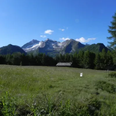
0h55' 2.14km Disregard the path for the Lacs de Palasinaz and continue on the dirt road that, after a couple of turns, continues on the orographic left of the Messonère stream. Proceed slightly uphill between a few sparse larch trees, with the imposing mass of the Punta Valfredda in the background, until you come to a new marker (2172m).
1h05' 2.80km Disregard path to Lac Litteran and continue on the road that slightly climbs alongside the steep north-western face of Mont Bieteron. After a slight turn to the left, the road reaches a crossroads with a signpost (2231m).
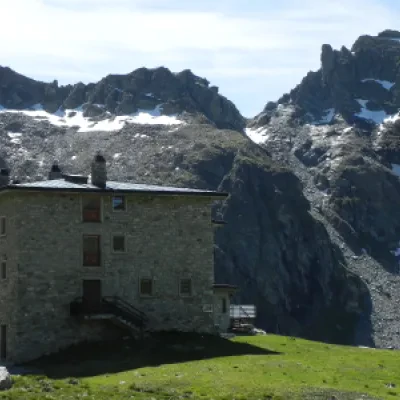
1h20' 3.73km Turn right and follow the road as it enters the green plateau at the foot of a rocky cirque formed at the foot of the Valfredda and Valnera peaks and continues on level ground to the end of the cirque. The road begins to climb the rocky prominence that precedes the hut. The road quickly gains altitude with two wide hairpin bends and then follows a long ascending diagonal that passes below the rocky crags and, after a glimpse of the flags, flows onto the shelf where the Arp hut (2245m) is located 2h00' 5.38km .
The return follows the same route followed during the ascent 1h15' 5.38km .
.We have been there
Laghi di Valfredda, dal parcheggio di Fénillettaz
Lasciare l'autostrada al casello di Verrès, entrare nella rotatoria e prendere la seconda uscita. Procedere in direzione del centro storico e, dopo 300 metri, svoltare a sinistra imboccando la strada regionale per la Val d'Ayas. Seguire la regionale per 16,5 chilometri, superando i centri abitati di Challand-Saint-Victor e Challand-Saint-Anselme, prima di raggiungere Brusson. Superare il centro abitato e, poco prima del bivio per il Col de Joux, svoltare a destra per prendere la strada comunale per Estoul. Continuare sulla comunale per circa 7 chilometri, superando il villaggio di Estoul, prima di raggiungere un grande parcheggio 🅿️ dove è possibile lasciare l'auto.
[0h38’] - [23km]
Come arrivarci con GMaps
Come arrivarci con Apple Maps
Il punto di partenza dell'itinerario non è raggiungibile con i mezzi pubblici.
Le indicazioni fornite sono state verificate con attenzione alla data di rilevamento dell'itinerario. Tuttavia, si consiglia vivamente di controllare eventuali variazioni intervenute successivamente, soprattutto riguardo al percorso di accesso al punto di partenza. Prima di intraprendere il viaggio, è opportuno consultare strumenti di navigazione aggiornati per ottenere indicazioni stradali precise e attuali. Raccomandiamo l'utilizzo di app per la navigazione satellitare, come Google Maps o Apple Maps, per garantire la massima accuratezza e sicurezza del tragitto.
Si imbocca una strada sterrata che corre tra una piccola pineta (a sinistra) e prati alla destra fino a giungere ad un bivio, si ignora la via che sale alla destra e si prosegue diritto (cartello per il rifugio Arp). Poco oltre il bivio si imbocca il sentiero che risale ripido lungo il versante fino a sbucare di nuovo sulla sterrata, qui si svolta a sinistra seguendo la via che guadagna quota con alcuni tornanti.
Con un lungo rettilineo a bassa pendenza ci si inoltra nella valle Palasina, si lascia a destra la strada per il lago Litteran, e si giunge ad un bivio ove una pralina invita a prendere la via di destra che in 45 minuti porta al pianoro ove sorge il rifugio Arp.
Si passa alle spalle del grosso edificio del rifugio fino ad arrivare in corrispondenza del piccolo giardino botanico ove delle praline indicano l’inizio del sentiero che porta ai laghi.
Si inizia a salire a pendenza moderata ed in circa 15 minuti si giunge al primo lago, lo si aggira sulla sinistra e si torna a salire lungo il sentiero fino a sbucare in prossimità del secondo lago di Valfredda .
