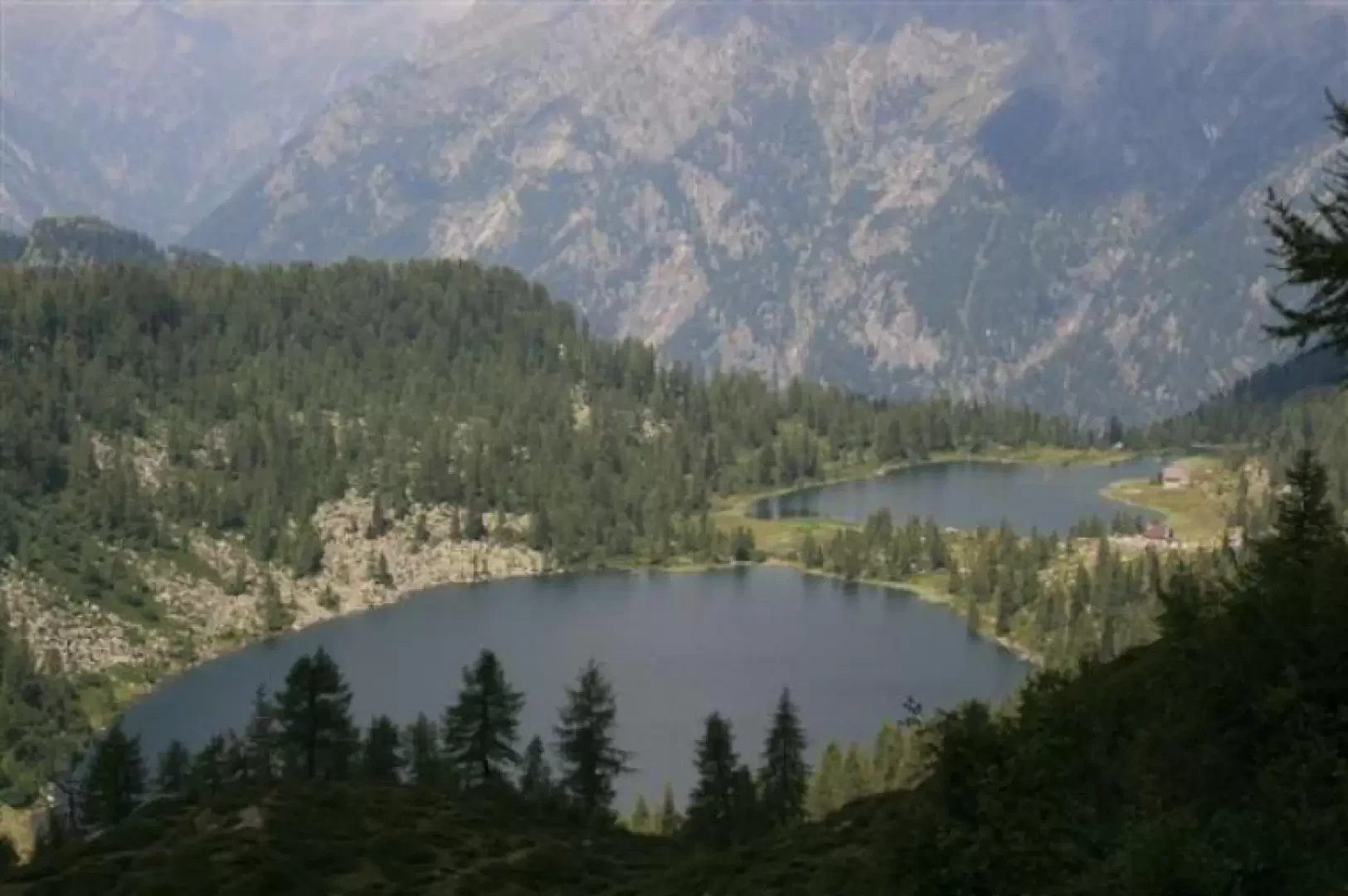
San Giuliano Lakes

Access
From Caderzone, climb steeply up a very narrow road (very careful! There is very little chance for two cars to pass each other in the opposite direction), for about 4.5 km, and from a fork in the road, turn left for a further 1.7 km, where you turn left for the Pozza di Vacche car park (1485 m), while to the right it continues, no longer asphalted, to the Poc dali Fafc (last car park).
Description
We take the altitude from Pozza delle Vacche, in dense woodland, following the signposts, until we come out on the beautiful paved road that climbs up from Caderzone (0h30') and ends at Malga Campostril, 1830m (0h20'). Climb up to Lake Vacarsa, 1912m (20'), and then climb a rocky step, with a series of hairpin bends. From here, you can see the Bochet de l'Acqua Fredda, which requires a little more effort and many twists and turns (until the last one, the pass seems far away...). From the pass, 2184m (0h45'), we catch a glimpse of the Adamello (I think...), see the two lakes and descend towards them and up to the San Giuliano refuge, 1960m (0h45'). After a break (the little church nearby is unfortunately closed), climb briefly up to the Malga di San Giuliano, 1980 m (0h10'), with a view of the Presanella, and then descend again through the wood and then on level ground with a few undulations (nice view of the Nardis waterfalls in the Val di Genova below) to arrive, in an ultimately uninteresting manner, at the Malga Campo, 1728 m, in 1h15' (where you ignore the diversions for Malga Diaga - another car park at 1430 m). Continue past Poc dali Fafc, 1660 m (15'), until reaching the car park at Pozza delle Vacche (20')
.