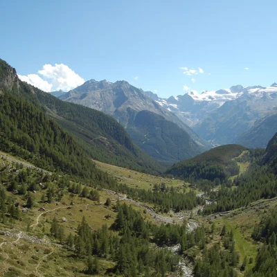
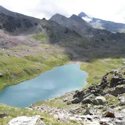
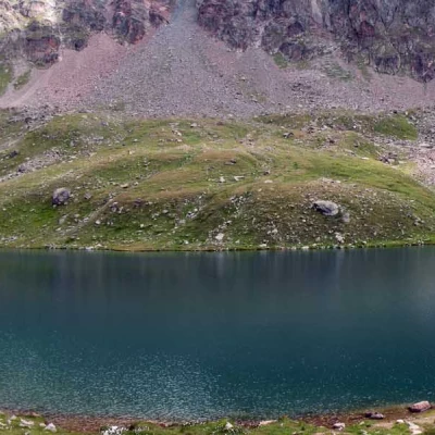
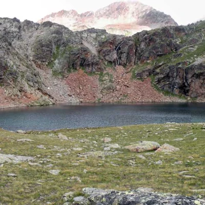
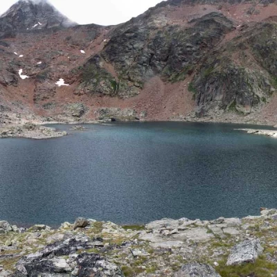
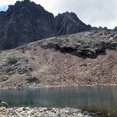
Lussert Lakes, from Gimillan
Access
Leaving the motorway at the Aosta Ovest exit, turn right and take the regional road for the Cogne valley. After passing through the village of Aymavilles, the road enters the valley, passing through the villages of Vieyes, Epinel and Crétaz until, 20 km after the motorway exit, you reach a roundabout: take the second exit to continue on for 1.1 km to a new roundabout. Take the third exit following the signs for Gimillan. Go up the communal road for about 1.5 kilometres, passing the village of Montroz and, once in Gimillan, continue by turning right onto the small road where, about 200 metres further on, you can park in the large car park on the edge of the road.
- How to get there with GMAPS
- How to get there with Apple Maps
Introduction
A pleasant and relaxing excursion. The itinerary is very simple and does not present any particular difficulties except that of length. In fact, since it is very flat (especially in the first part), it takes quite a long time both uphill and downhill. It is within everyone's reach.
Description
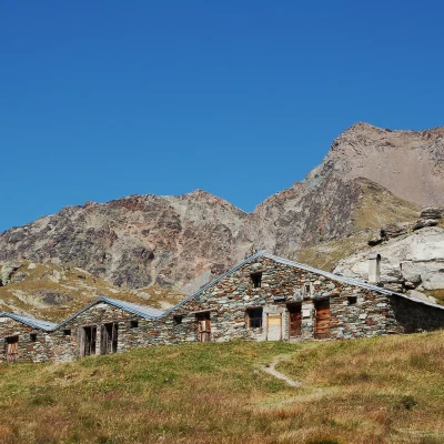
At the shelter with the signposts for the itineraries starting from Gimillian (1774m), a nice path starts out straight up the meadows. After passing a couple of twists and turns, the trail reaches the farm track to Pila, skirting it for a short distance, just above Tarabouc (1831m, 0h10') and then leaving it following the path to the right. Proceed for a short stretch on a very slight ascent into the Grauson valley, bypassing the gentle slopes of Truc Cretetta. Omit the variant for Tchezeu (1915m, 0h25') and begin a short descent to the little bridge that crosses the Grauson stream. After crossing the bridge, just before Encloseur, you will come to the fork between trail and trail to Colonna (1903m, 0h40').
Follow the comfortable trail up the pastures on the orographic left of the valley, which soon reaches the end of the Tchezeu variant (1967m, 0h50').
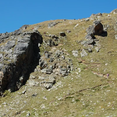
We cross a short strip of larch woodland and come to the Pila pastureland, which we leave below on the left. Slowly the path begins to climb a first rocky step; with a series of twists and turns, it climbs up the crag and then enters a small plateau where the signs for the winter route to the Grauson are found. A short but intense uphill stretch is overcome, followed by the crossing of a short meadow before entering the larch wood, on the path that cuts across the northern slope of the valley to Crouzet and, shortly afterwards, to the Grauson desot plateau. Reaching the cross and leaving the trail for Lake Money, descend slightly down the beautiful pastureland until reaching the fork to Grauson desot (2,273m, 1h 30') located a few hundred metres to the left.
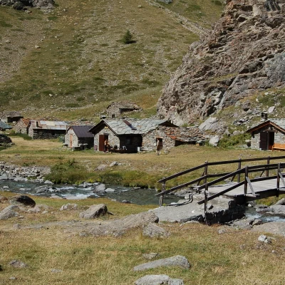
Continue past a small narrow track over the stream, which is crossed shortly afterwards on a small wooden bridge. Continue through the grassy valley to reach another fork in the path (2391m, 1h40'): this time, follow the path on the left that climbs the grassy ridges of the Tête Praz de Ler, bypassing a small alpine pastureland at the foot of the Tersiva.
The trail continues diagonally along the peat bog plateau until it reaches the Grauson damon meadows (2540m, 2h00').
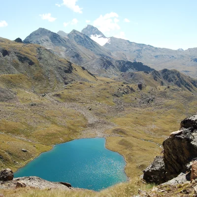
The trail continues to the left, heading towards the impluvium of the Tzézeire stream, crossing it at a small ford. Continue climbing until you reach the wide plateau that precedes the first of the Lussert lakes. Descend a little to the plain, cross the Lussert stream and continue climbing slightly until you meet the interval path and the first of the Lussert lakes (2713m, 2h35').
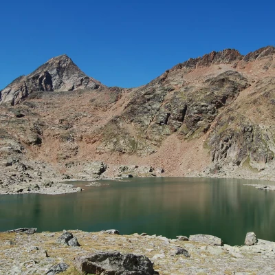
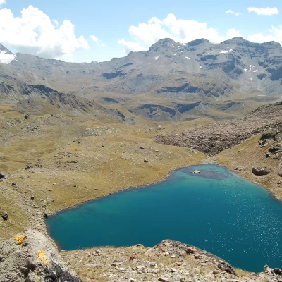
We now proceed to the left, ascending the slope that separates us from the terrace on which the second lake lies; the path becomes steeper but is still pleasant thanks to the remarkable work of tidying up along the route of the interval path . Slowly the ascent eases and we reach the second of the Lussert lakes (2790m, 3h00').
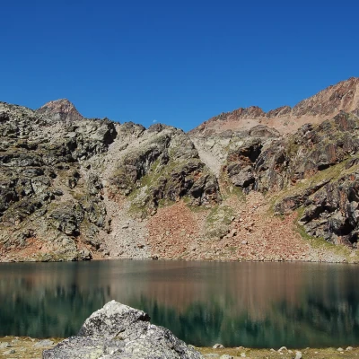
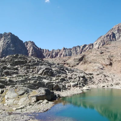
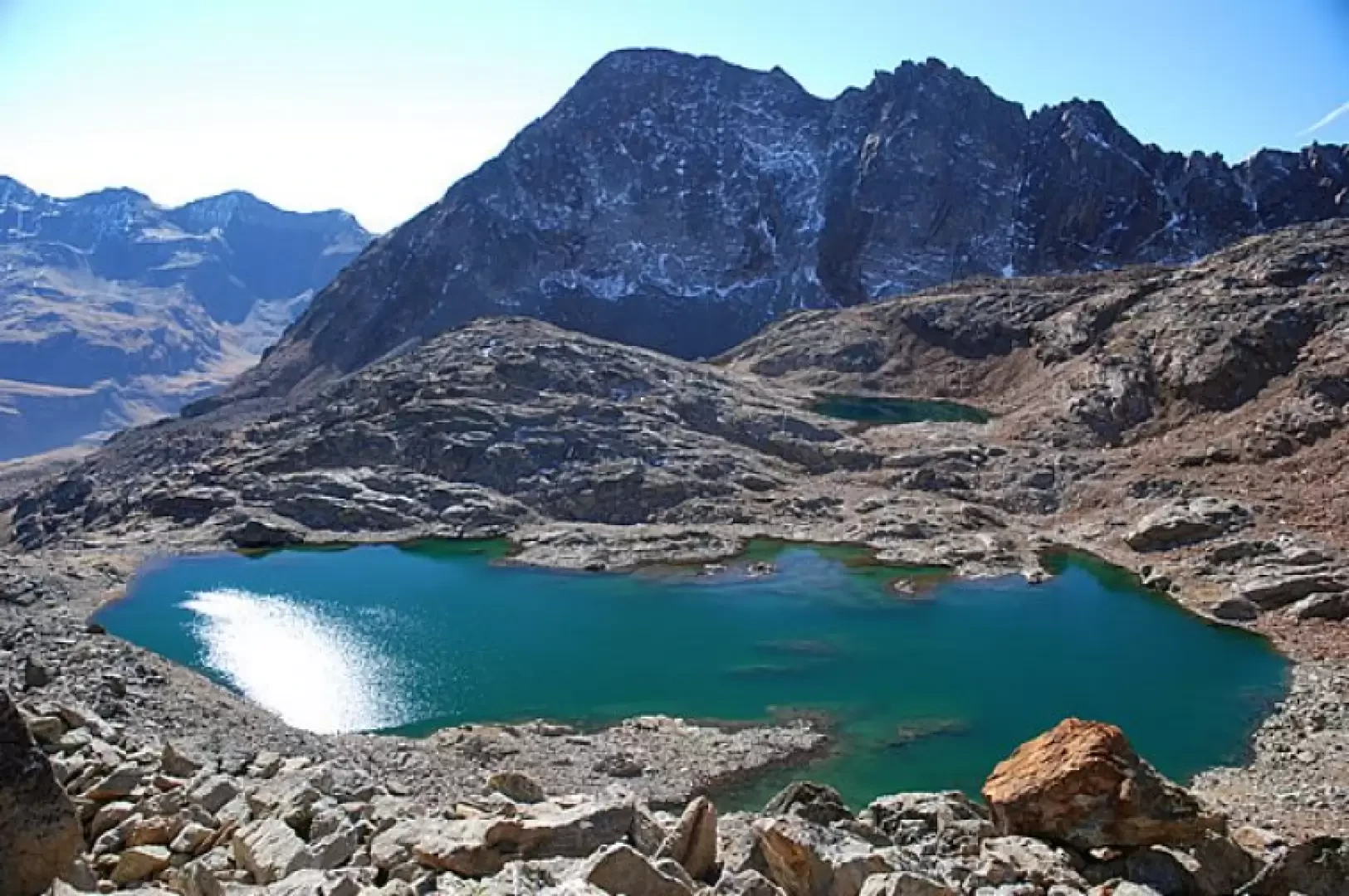
We skirt the eastern side of the lake and then resume the ascent towards the third lake. The path leads to the beginning of the step and begins to climb it in a sustained manner. Once past the most demanding section, the trail now enters the vegetation-free environment and, between the first scree, the third Lussert lake (2906m, 3h40') appears in front of the sharp pyramid of Pic Garin (3461m).
